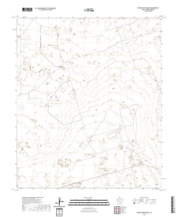
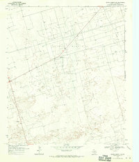
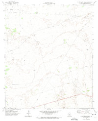
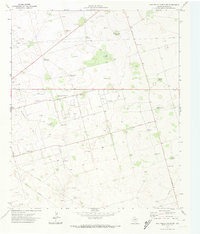
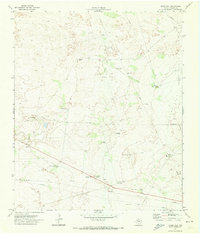
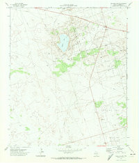
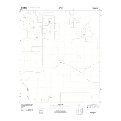
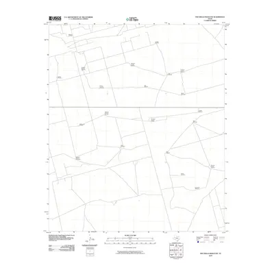
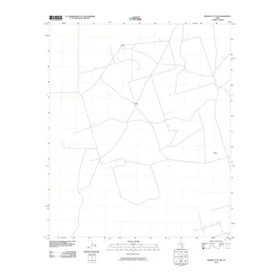
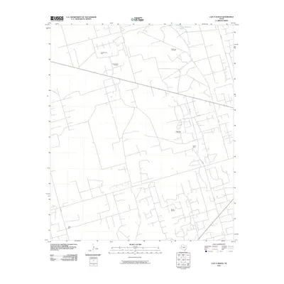
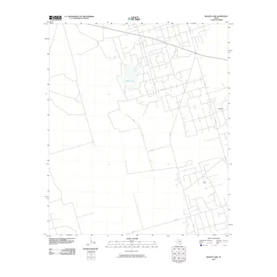
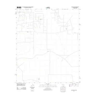
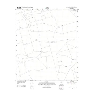
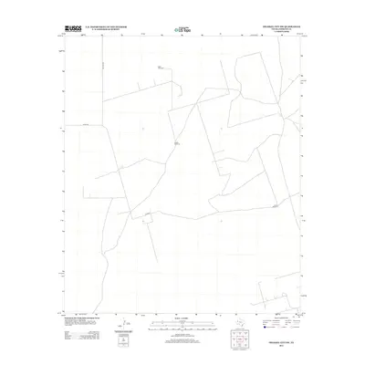
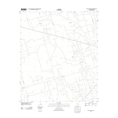
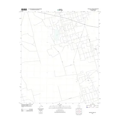
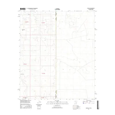
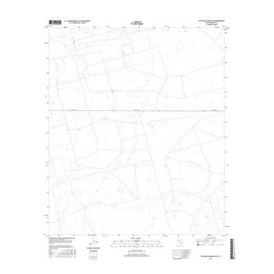
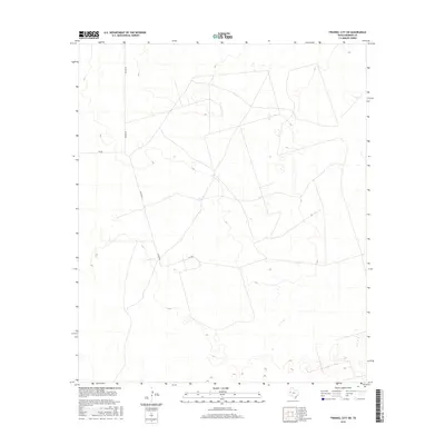
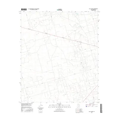
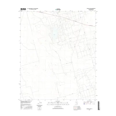
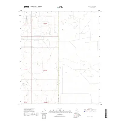
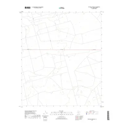
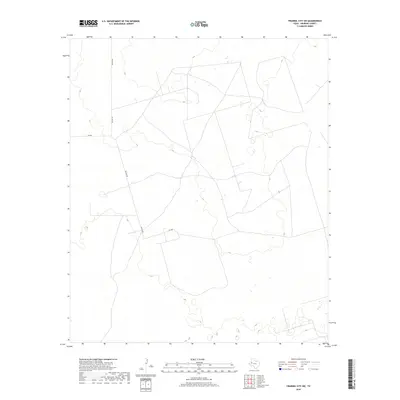
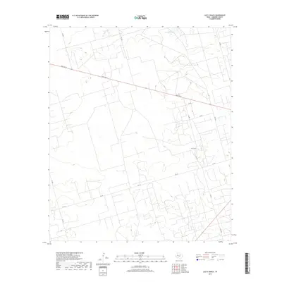
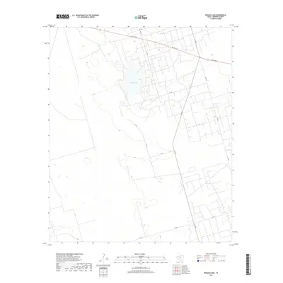
2022 Map of Figure Seven Ranch
USGS Topo · Published 2022About this map
Andrews County, Texas, is characterized by a sparse, expansive landscape defined by its grid-like network of rural roads and cattle ranching history. This 2022 survey captures the intersection of Sw 900 and Sw 9201 as they navigate the subtle topographic contours of the Llano Estacado. The land use pattern here is dictated by the vast holdings of the Figure Seven Ranch, where the development of infrastructure is closely tied to the movement of livestock and petroleum resources across the high plains. While the map is light on traditional town centers, it provides a precise technical record of the modern transportation routes and ephemeral drainage patterns that sustain the West Texas ranching economy.
Find a feature on this map
2 named features on this map. Tap any name to fly to it.
Don’t see what you’re looking for? This feature index may not catch every label — zoom into the map to look around manually.
Map Details
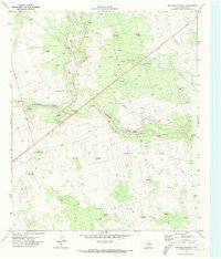
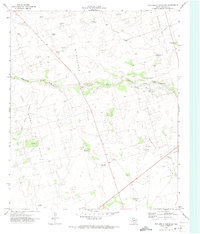
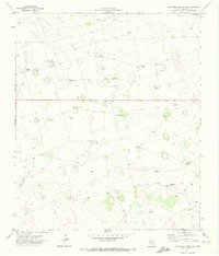
Editions of this 2022 Figure Seven Ranch Map
This is the sole edition of this map. No revisions or reprints were ever made.
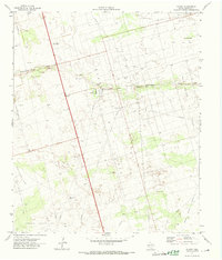
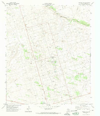
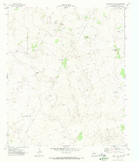
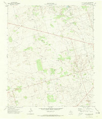
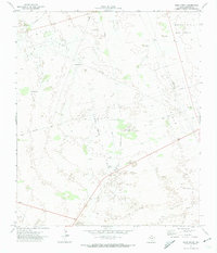
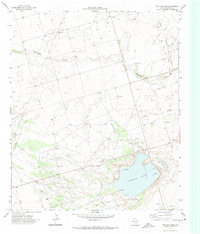
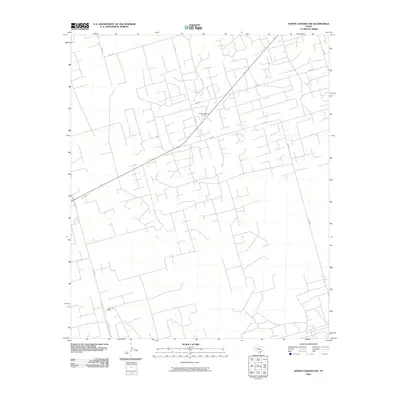
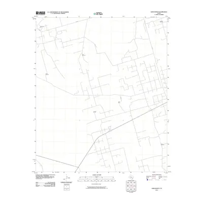
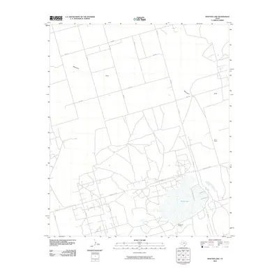
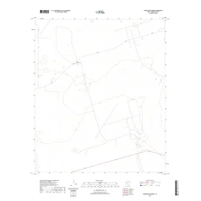
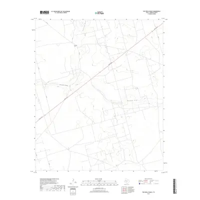
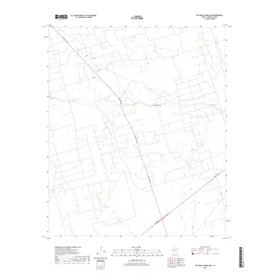
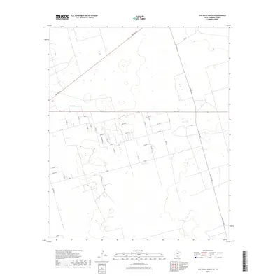
Historical Maps of Andrews County Through Time
120 maps found
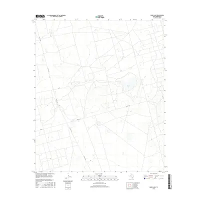
1968 Baird Lake
Andrews County, TX
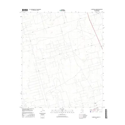
1968 Clabber Hill Ranch
Andrews County, TX
1968 Gardendale NW
Andrews County, TX
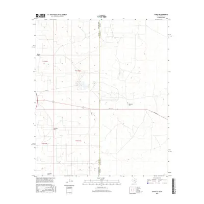
1968 North Cowden NW
Andrews County, TX
1969 Eunice NE
Andrews County, TX
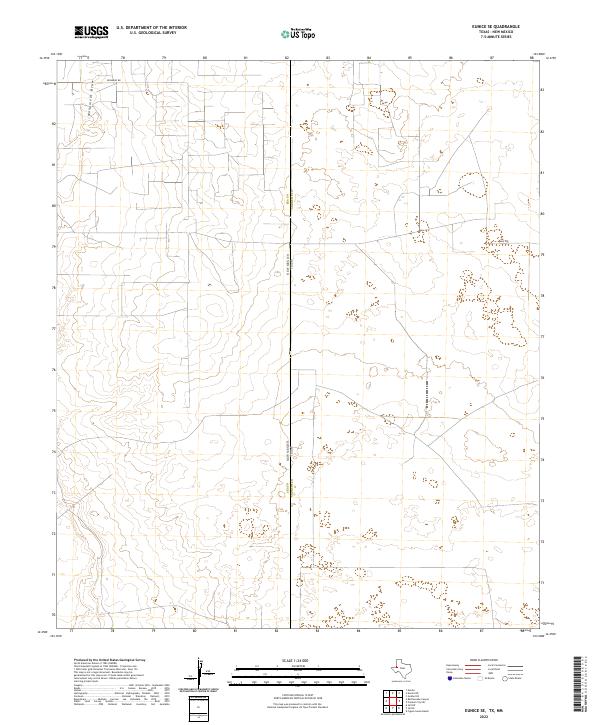
1969 Eunice SE
Andrews County, TX
1969 Jal NE
Andrews County, TX
1971 Figure Seven Ranch
Andrews County, TX
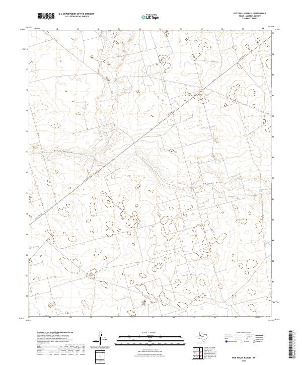
1971 Five Wells Ranch
Andrews County, TX
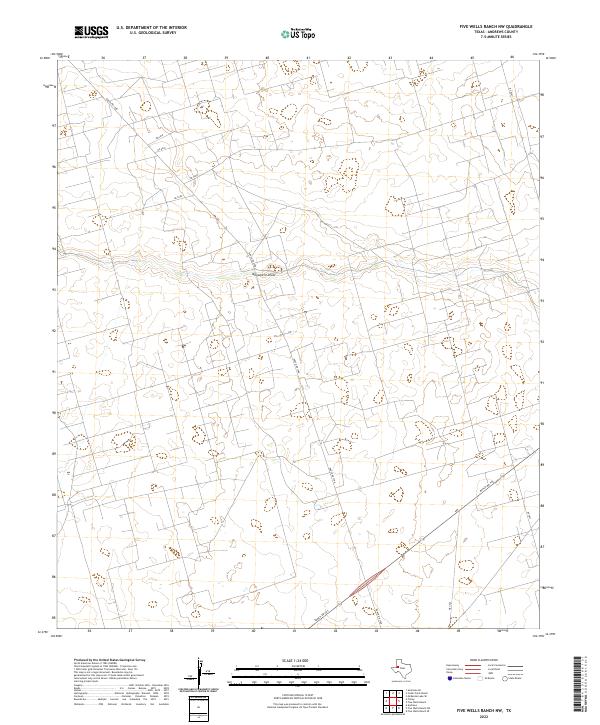
1971 Five Wells Ranch NW
Andrews County, TX
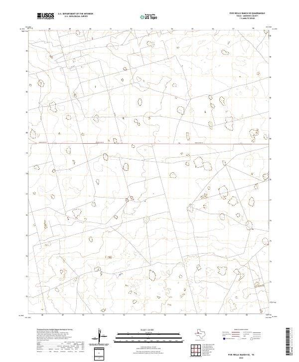
1971 Five Wells Ranch SE
Andrews County, TX
1971 Five Wells Ranch SW
Andrews County, TX
1971 Florey
Andrews County, TX
1971 Frankel City
Andrews County, TX
1971 Frankel City SW
Andrews County, TX
1971 Jumbo Hill
Andrews County, TX
1971 Lazy X Ranch
Andrews County, TX
1971 Sand Ranch
Andrews County, TX
1971 Shafter Lake
Andrews County, TX
1971 Whalen Lake
Andrews County, TX
2010 Baird Lake
Andrews County, TX
2010 Clabber Hill Ranch
Andrews County, TX
2010 Eunice NE
Andrews County, TX
2010 Eunice SE
Andrews County, TX
2010 Figure Seven Ranch
Andrews County, TX
2010 Five Wells Ranch
Andrews County, TX
2010 Five Wells Ranch NW
Andrews County, TX
2010 Five Wells Ranch SE
Andrews County, TX
2010 Five Wells Ranch SW
Andrews County, TX
2010 Florey
Andrews County, TX
2010 Frankel City
Andrews County, TX
2010 Frankel City SW
Andrews County, TX
2010 Gardendale NW
Andrews County, TX
2010 Jal NE
Andrews County, TX
2010 Jumbo Hill
Andrews County, TX
2010 Lazy X Ranch
Andrews County, TX
2010 North Cowden NW
Andrews County, TX
2010 Sand Ranch
Andrews County, TX
2010 Shafter Lake
Andrews County, TX
2010 Whalen Lake
Andrews County, TX
2012 Baird Lake
Andrews County, TX
2012 Clabber Hill Ranch
Andrews County, TX
2012 Eunice NE
Andrews County, TX
2012 Eunice SE
Andrews County, TX
2012 Figure Seven Ranch
Andrews County, TX
2012 Five Wells Ranch
Andrews County, TX
2012 Five Wells Ranch NW
Andrews County, TX
2012 Five Wells Ranch SE
Andrews County, TX
2012 Five Wells Ranch SW
Andrews County, TX
2012 Florey
Andrews County, TX
2012 Frankel City
Andrews County, TX
2012 Frankel City SW
Andrews County, TX
2012 Gardendale NW
Andrews County, TX
2012 Jal NE
Andrews County, TX
2012 Jumbo Hill
Andrews County, TX
2012 Lazy X Ranch
Andrews County, TX
2012 North Cowden NW
Andrews County, TX
2012 Sand Ranch
Andrews County, TX
2012 Shafter Lake
Andrews County, TX
2012 Whalen Lake
Andrews County, TX
2016 Baird Lake
Andrews County, TX
2016 Clabber Hill Ranch
Andrews County, TX
2016 Eunice NE
Andrews County, TX
2016 Eunice SE
Andrews County, TX
2016 Figure Seven Ranch
Andrews County, TX
2016 Five Wells Ranch
Andrews County, TX
2016 Five Wells Ranch NW
Andrews County, TX
2016 Five Wells Ranch SE
Andrews County, TX
2016 Five Wells Ranch SW
Andrews County, TX
2016 Florey
Andrews County, TX
2016 Frankel City
Andrews County, TX
2016 Frankel City SW
Andrews County, TX
2016 Gardendale NW
Andrews County, TX
2016 Jal NE
Andrews County, TX
2016 Jumbo Hill
Andrews County, TX
2016 Lazy X Ranch
Andrews County, TX
2016 North Cowden NW
Andrews County, TX
2016 Sand Ranch
Andrews County, TX
2016 Shafter Lake
Andrews County, TX
2016 Whalen Lake
Andrews County, TX
2019 Baird Lake
Andrews County, TX
2019 Clabber Hill Ranch
Andrews County, TX
2019 Eunice NE
Andrews County, TX
2019 Eunice SE
Andrews County, TX
2019 Figure Seven Ranch
Andrews County, TX
2019 Five Wells Ranch
Andrews County, TX
2019 Five Wells Ranch NW
Andrews County, TX
2019 Five Wells Ranch SE
Andrews County, TX
2019 Five Wells Ranch SW
Andrews County, TX
2019 Florey
Andrews County, TX
2019 Frankel City
Andrews County, TX
2019 Frankel City SW
Andrews County, TX
2019 Gardendale NW
Andrews County, TX
2019 Jal NE
Andrews County, TX
2019 Jumbo Hill
Andrews County, TX
2019 Lazy X Ranch
Andrews County, TX
2019 North Cowden NW
Andrews County, TX
2019 Sand Ranch
Andrews County, TX
2019 Shafter Lake
Andrews County, TX
2019 Whalen Lake
Andrews County, TX
2022 Baird Lake
Andrews County, TX
2022 Clabber Hill Ranch
Andrews County, TX
2022 Eunice NE
Andrews County, TX
2022 Eunice SE
Andrews County, TX
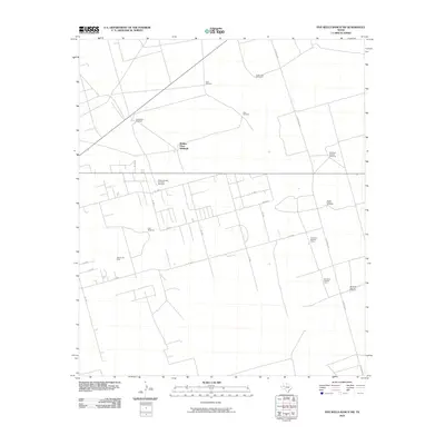
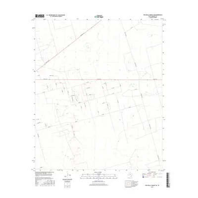
2022 Figure Seven Ranch
Andrews County, TX
2022 Five Wells Ranch
Andrews County, TX
2022 Five Wells Ranch NW
Andrews County, TX
2022 Five Wells Ranch SE
Andrews County, TX
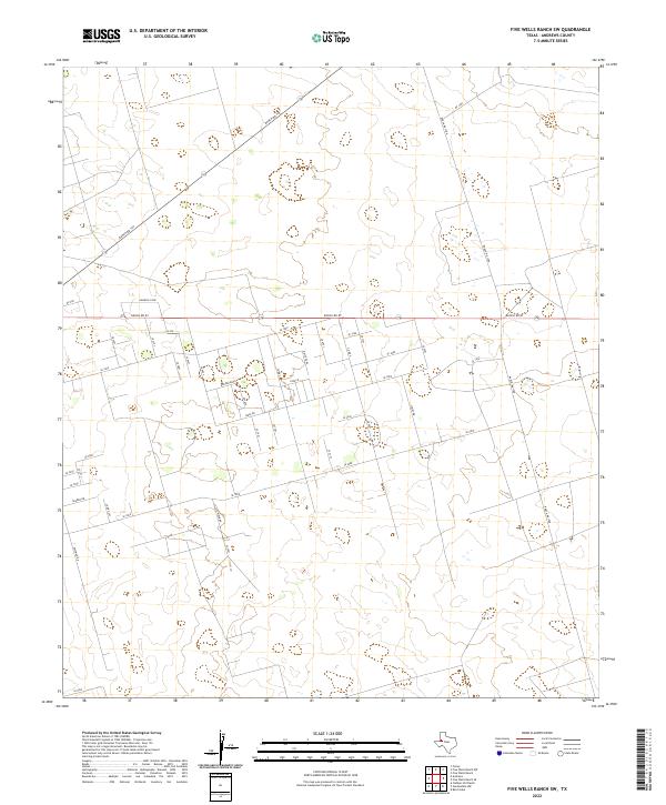
2022 Five Wells Ranch SW
Andrews County, TX
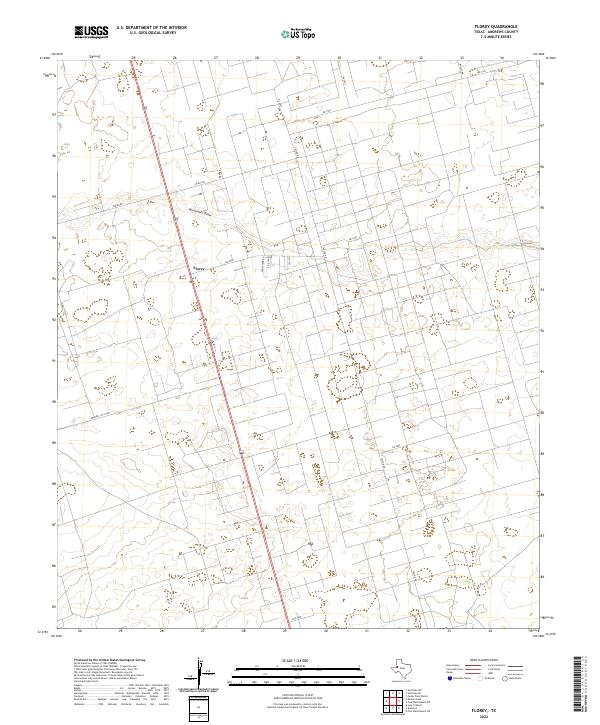
2022 Florey
Andrews County, TX
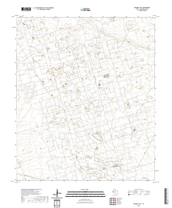
2022 Frankel City
Andrews County, TX
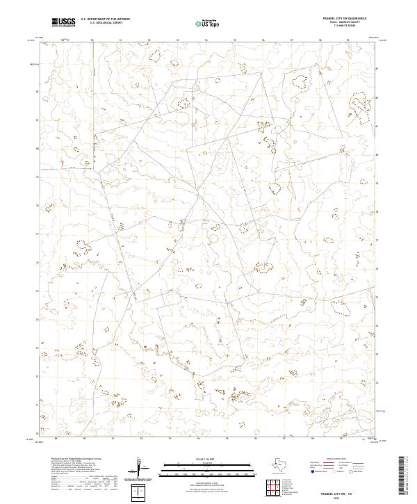
2022 Frankel City SW
Andrews County, TX
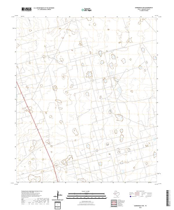
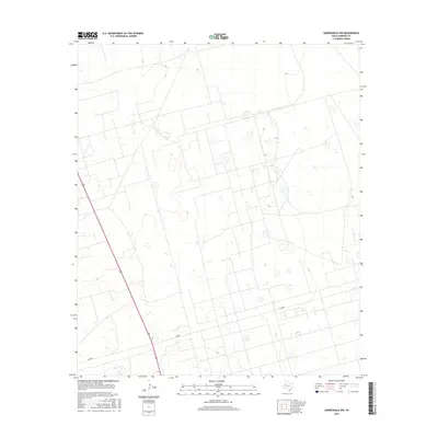
2022 Gardendale NW
Andrews County, TX
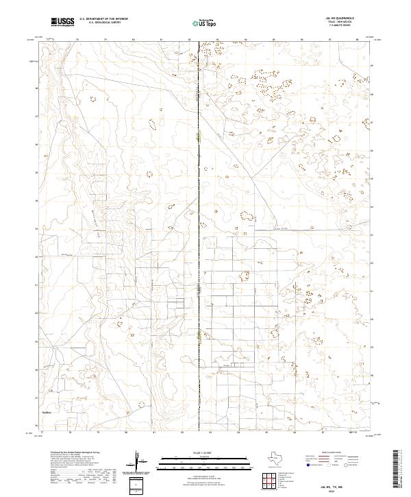
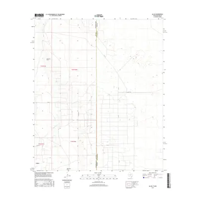
2022 Jal NE
Andrews County, TX
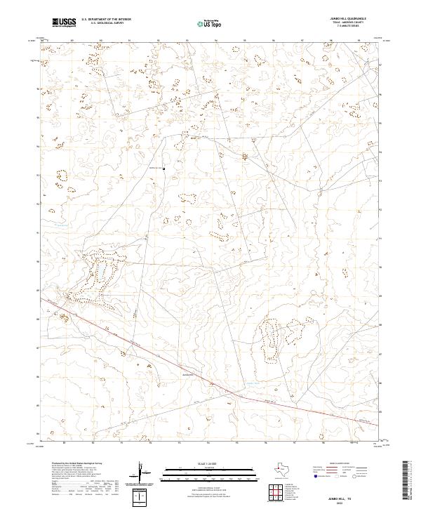
2022 Jumbo Hill
Andrews County, TX
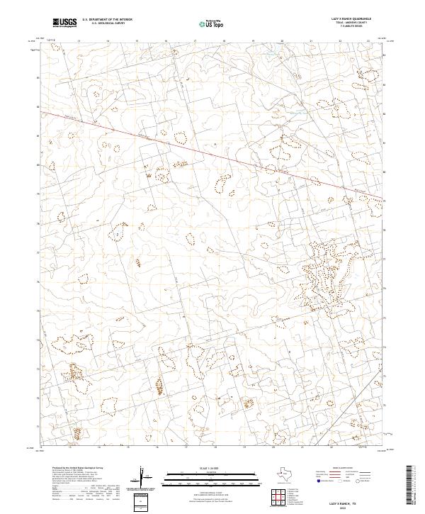
2022 Lazy X Ranch
Andrews County, TX

2022 North Cowden NW
Andrews County, TX
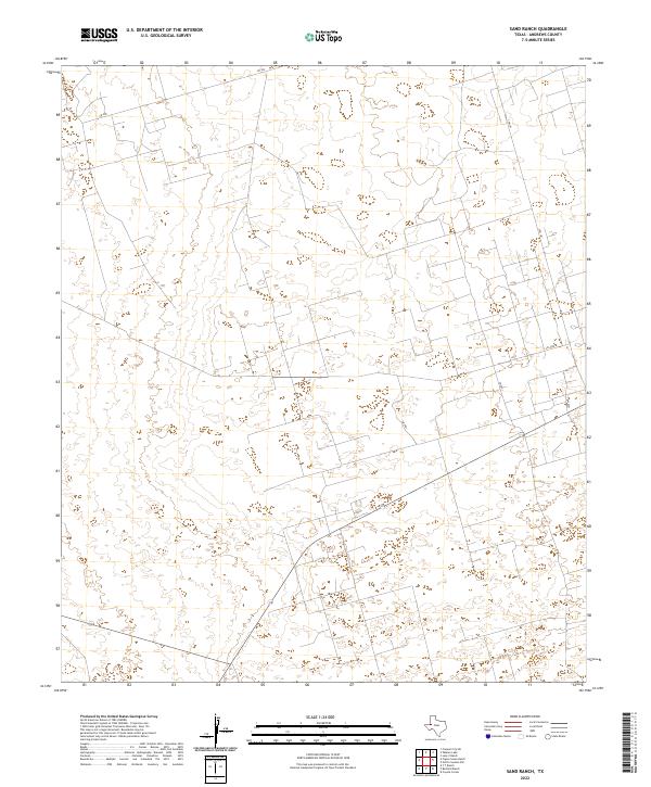
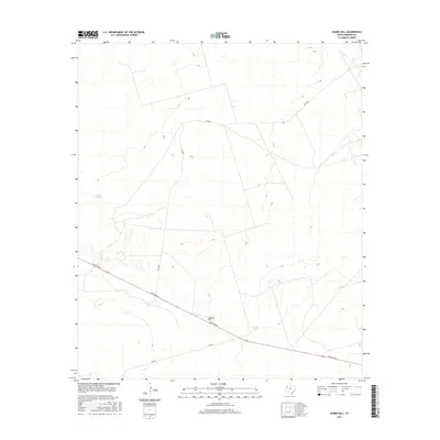
2022 Sand Ranch
Andrews County, TX
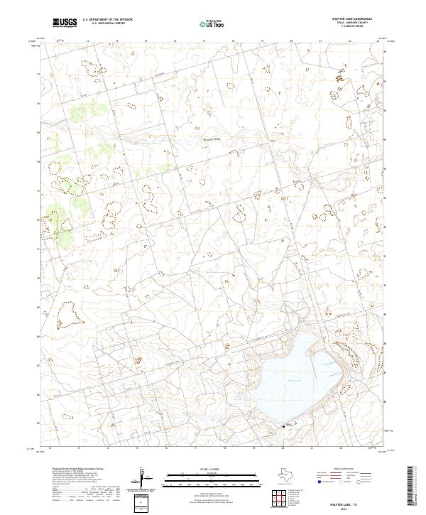
2022 Shafter Lake
Andrews County, TX
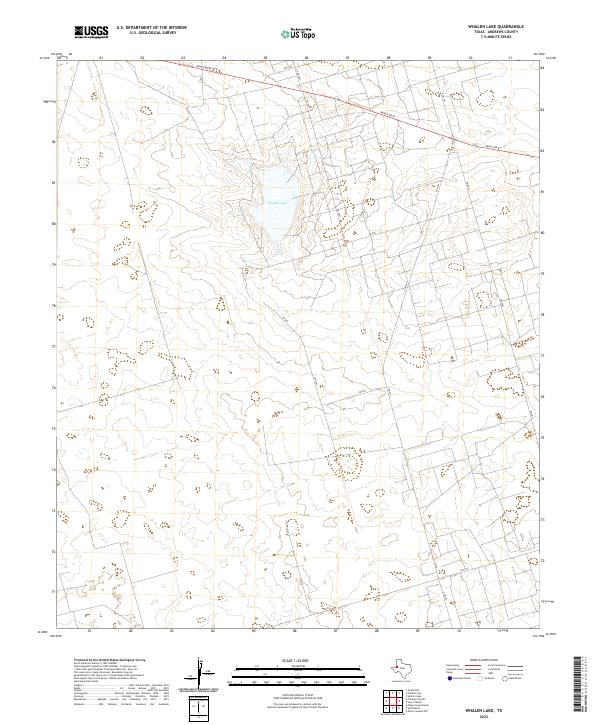
2022 Whalen Lake
Andrews County, TX