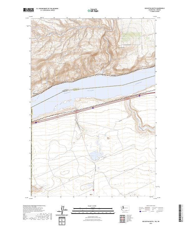
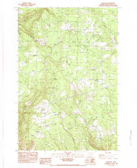
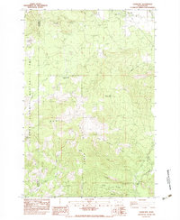
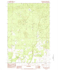
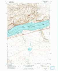
2023 Map of Golgotha Butte
USGS Topo · Published 2023About this map
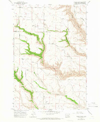
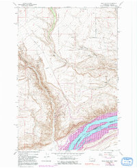
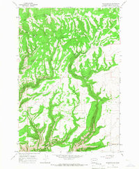
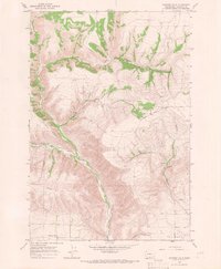
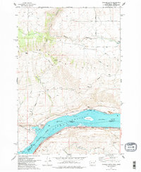
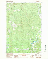
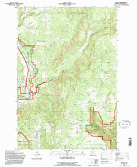
Lake Umatilla dominates the center of this landscape, marking the high-water boundaries of the Columbia River between Klickitat Co, Washington, and Morrow Co, Oregon. The northern bank is defined by the steep elevation of Alder Ridge and the prominent landmark of Golgotha Butte. Long-standing transport corridors follow the river's edge, connecting the settlements of McCredie and Alderdale.
Find a feature on this map
30 named features on this map. Tap any name to fly to it.
Don’t see what you’re looking for? This feature index may not catch every label — zoom into the map to look around manually.
Map Details
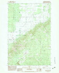
Editions of this 2023 Golgotha Butte Map
This is the sole edition of this map. No revisions or reprints were ever made.
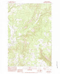
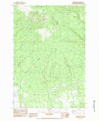
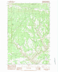
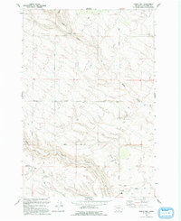
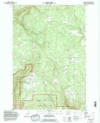
Historical Maps of Klickitat County Through Time
58 maps found
1957 Husum
Klickitat County, WA
1957 Satus Pass
Klickitat County, WA
1962 Alderdale
Klickitat County, WA
1962 Crider Valley
Klickitat County, WA
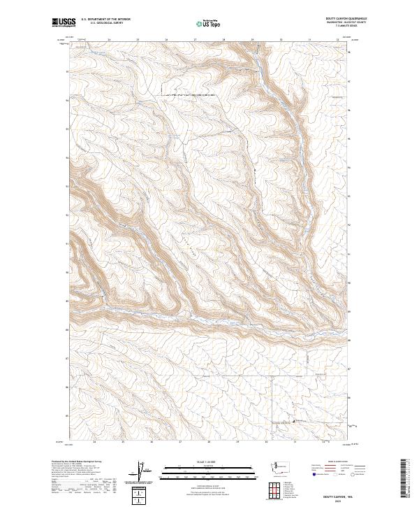
1962 Douty Canyon
Klickitat County, WA
1962 Phinny Hill
Klickitat County, WA
1962 Wood Gulch
Klickitat County, WA
1965 Bickleton NW
Klickitat County, WA
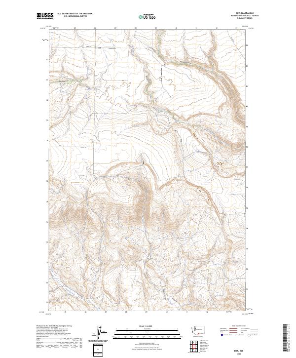
1965 Dot
Klickitat County, WA
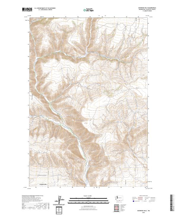
1965 Goodnoe Hills
Klickitat County, WA
1974 Stacker Butte
Klickitat County, WA
1983 Appleton
Klickitat County, WA
1983 Camas Prairie
Klickitat County, WA
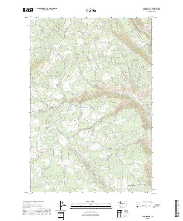
1983 Dead Canyon
Klickitat County, WA
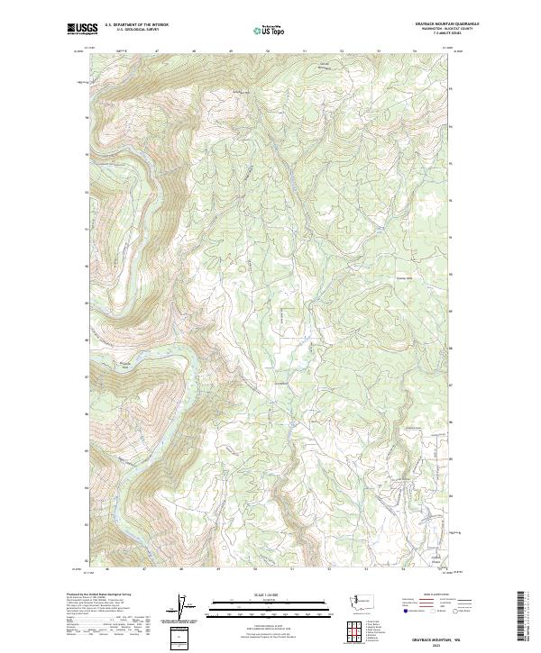
1983 Grayback Mtn
Klickitat County, WA
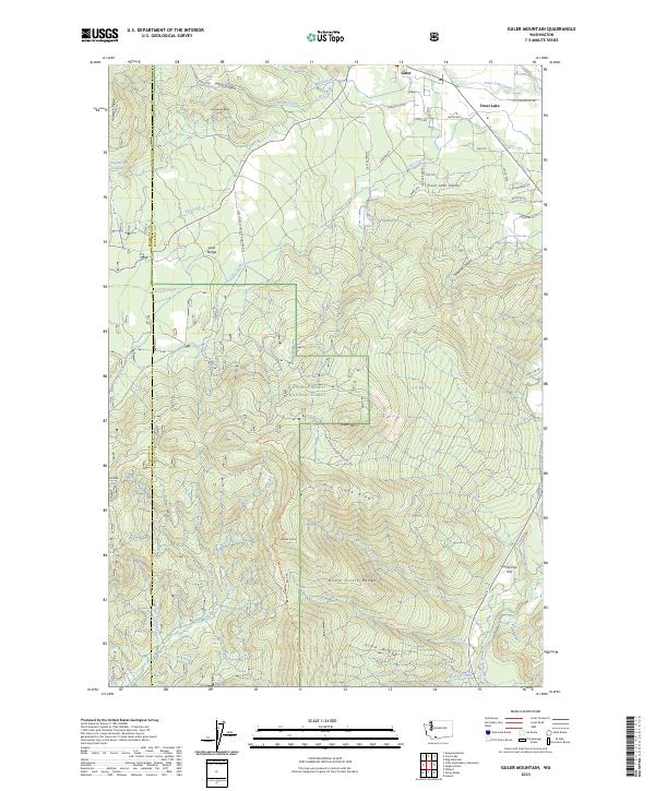
1983 Guler Mtn
Klickitat County, WA
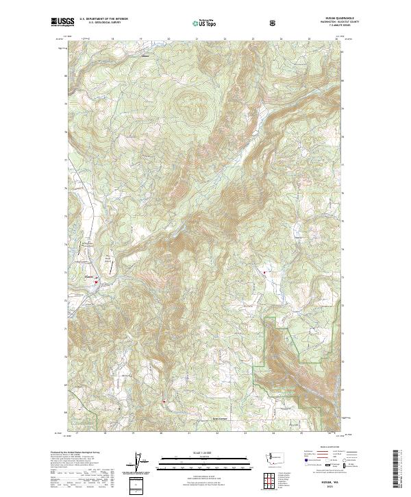
1983 Husum
Klickitat County, WA
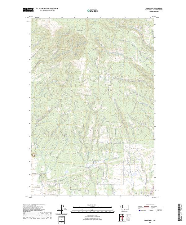
1983 Indian Rock
Klickitat County, WA
1983 Lone Pine Butte
Klickitat County, WA

1983 Luna Butte
Klickitat County, WA

1983 Luna Gulch
Klickitat County, WA
1983 Northwestern Lake
Klickitat County, WA
1983 Quigley Butte
Klickitat County, WA
1983 Satus Pass
Klickitat County, WA
1983 Wahkiacus
Klickitat County, WA
1983 White Pine Buttes
Klickitat County, WA
1993 Golgotha Butte
Klickitat County, WA
1993 Phinny Hill
Klickitat County, WA
1994 Appleton
Klickitat County, WA
1994 Husum
Klickitat County, WA
1994 Northwestern Lake
Klickitat County, WA
1994 Stacker Butte
Klickitat County, WA
1998 Guler Mountain
Klickitat County, WA
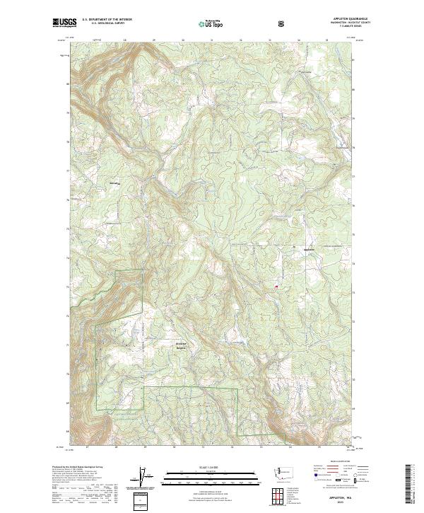
2023 Appleton
Klickitat County, WA
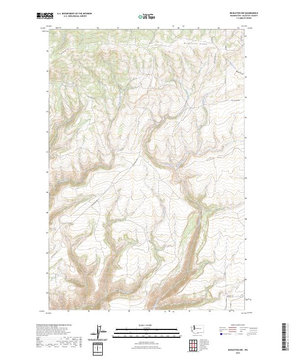
2023 Bickleton NW
Klickitat County, WA
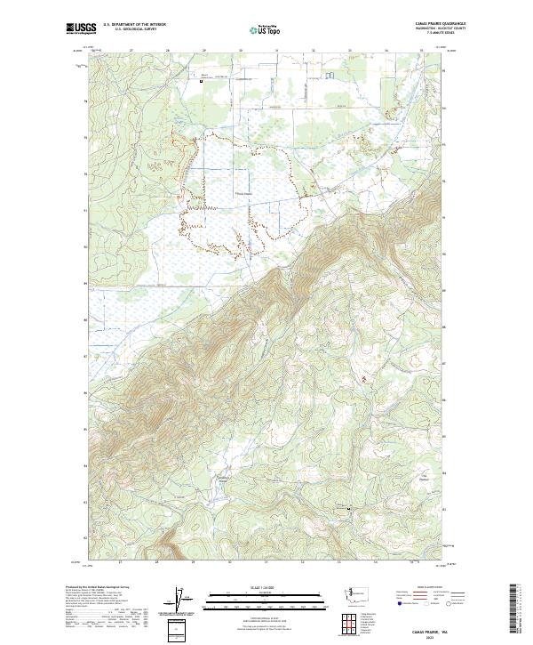
2023 Camas Prairie
Klickitat County, WA
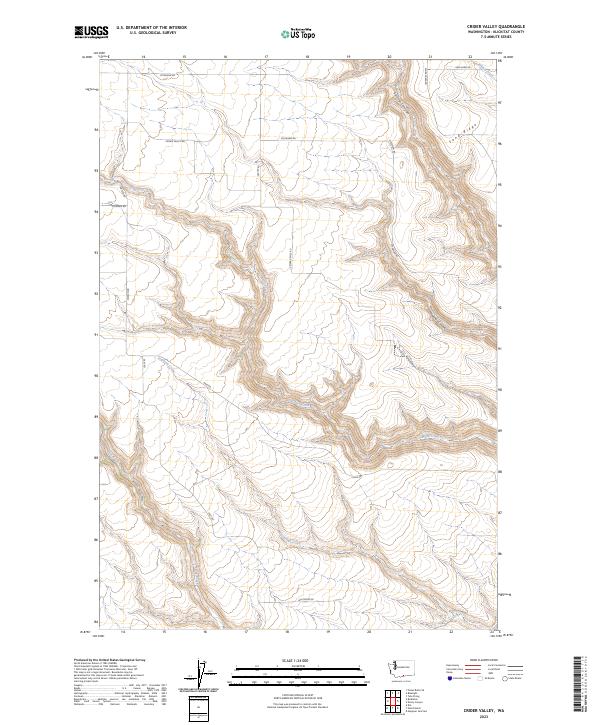
2023 Crider Valley
Klickitat County, WA
2023 Dead Canyon
Klickitat County, WA
2023 Dot
Klickitat County, WA
2023 Douty Canyon
Klickitat County, WA
2023 Golgotha Butte
Klickitat County, WA
2023 Goodnoe Hills
Klickitat County, WA
2023 Grayback Mountain
Klickitat County, WA
2023 Guler Mountain
Klickitat County, WA
2023 Husum
Klickitat County, WA
2023 Indian Rock
Klickitat County, WA
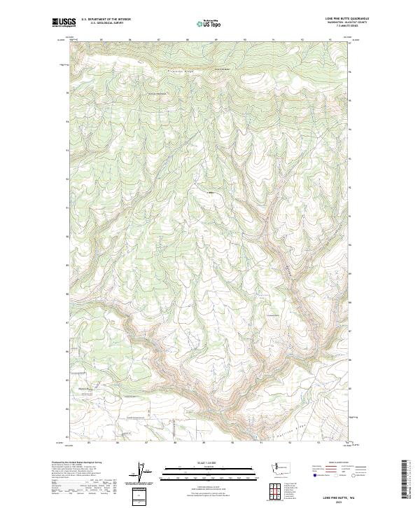
2023 Lone Pine Butte
Klickitat County, WA
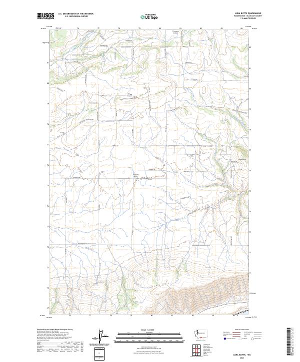
2023 Luna Butte
Klickitat County, WA
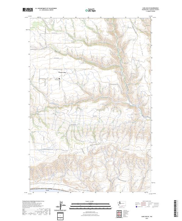
2023 Luna Gulch
Klickitat County, WA
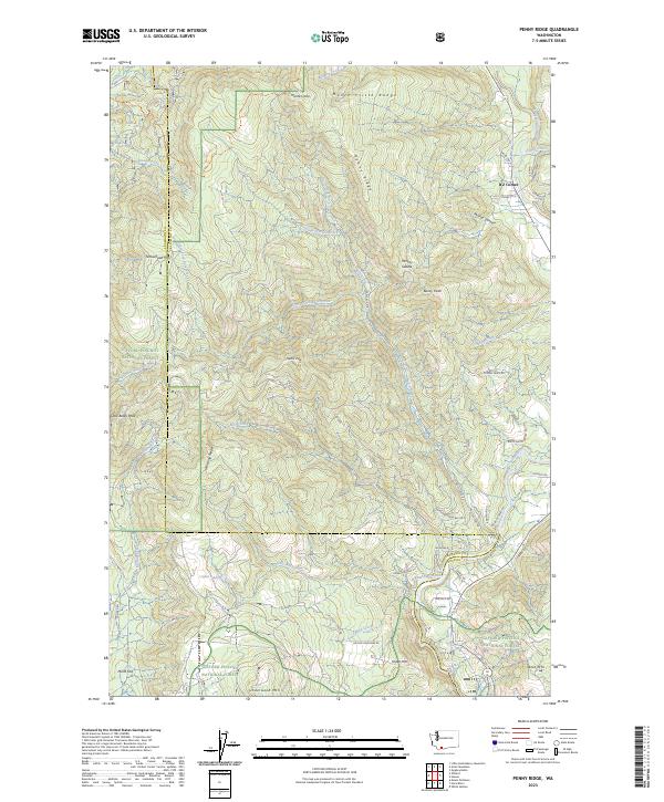
2023 Penny Ridge
Klickitat County, WA
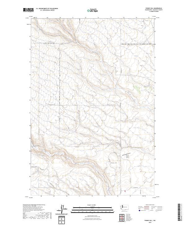
2023 Phinny Hill
Klickitat County, WA
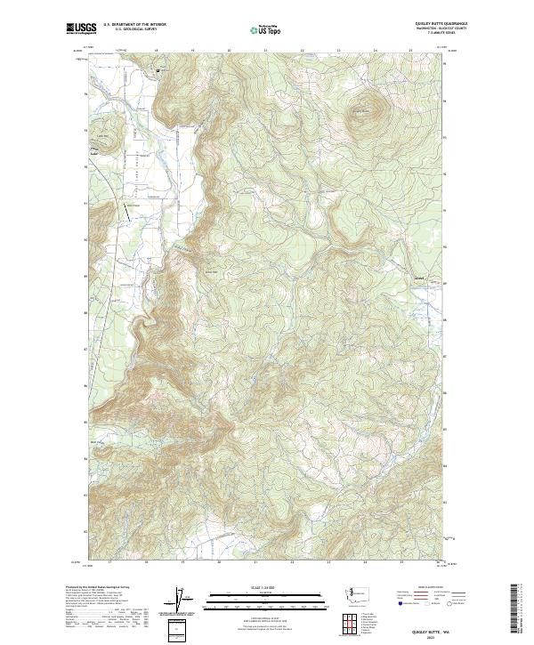
2023 Quigley Butte
Klickitat County, WA
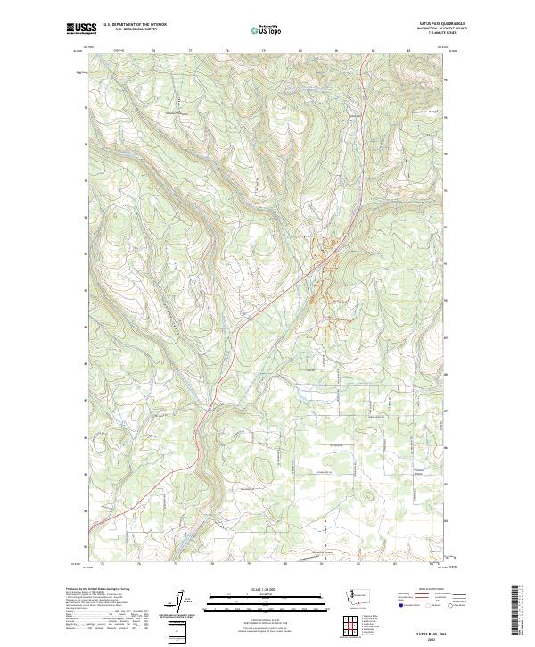
2023 Satus Pass
Klickitat County, WA
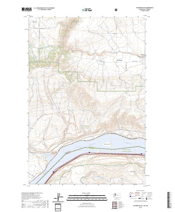
2023 Stacker Butte
Klickitat County, WA
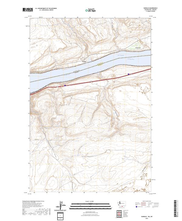
2023 Sundale
Klickitat County, WA
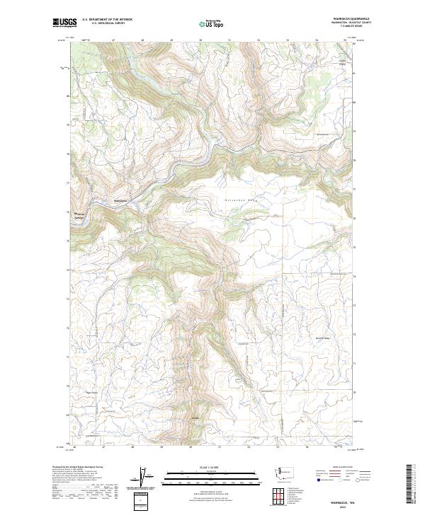
2023 Wahkiacus
Klickitat County, WA
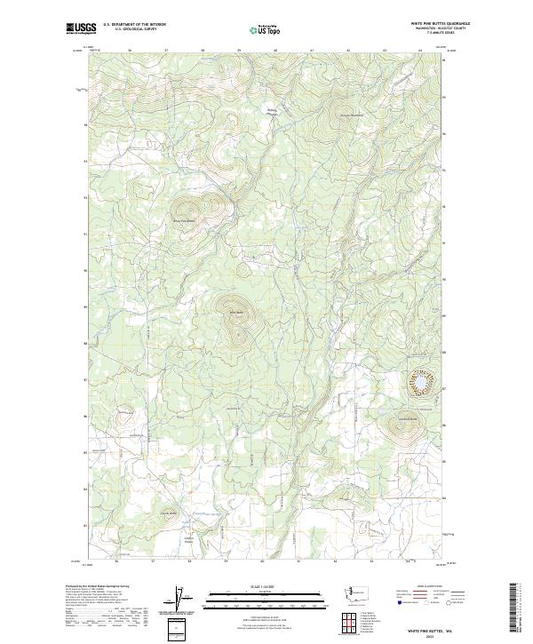
2023 White Pine Buttes
Klickitat County, WA
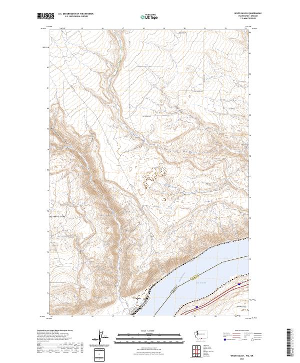
2023 Wood Gulch
Klickitat County, WA