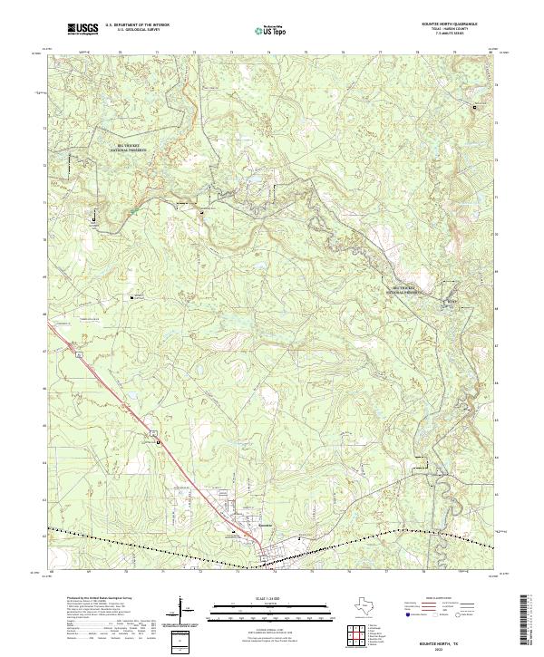
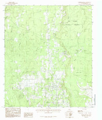
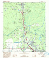
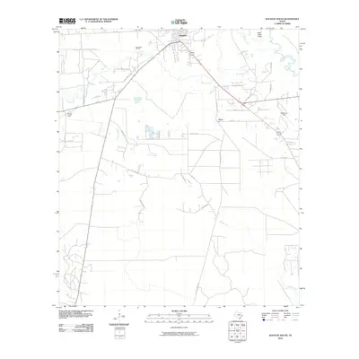
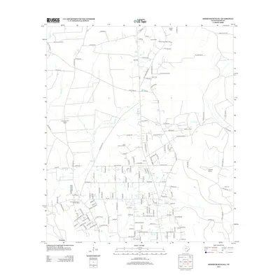
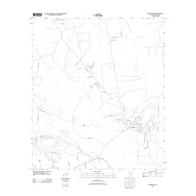
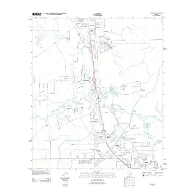
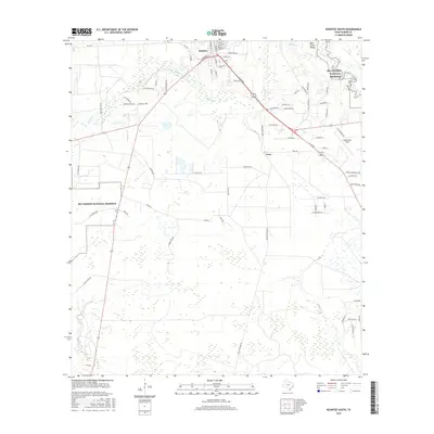
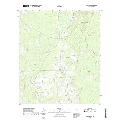
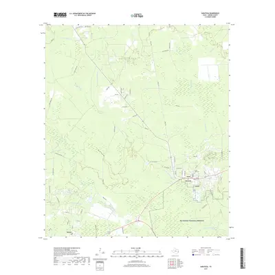
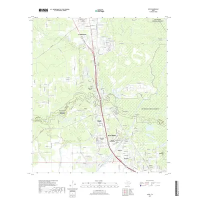
2022 Map of Kountze North
USGS Topo · Published 2022About this map
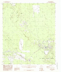
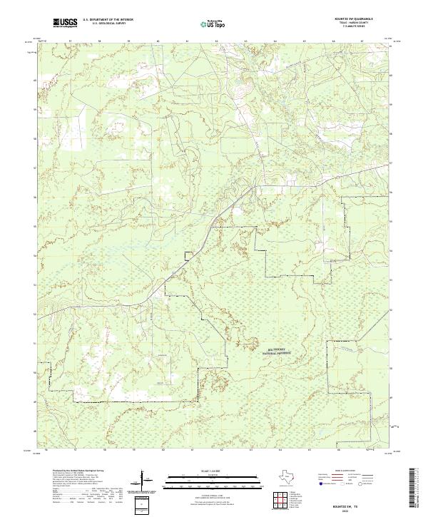
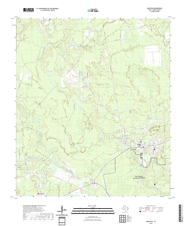
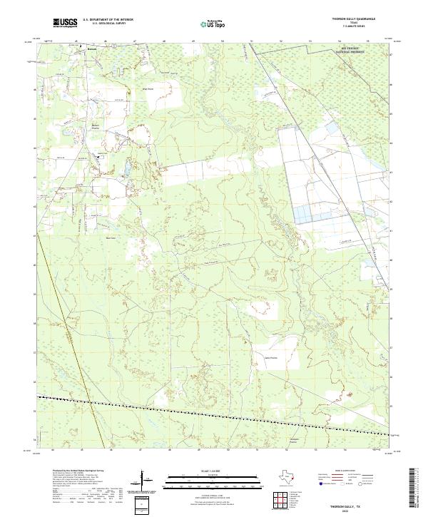
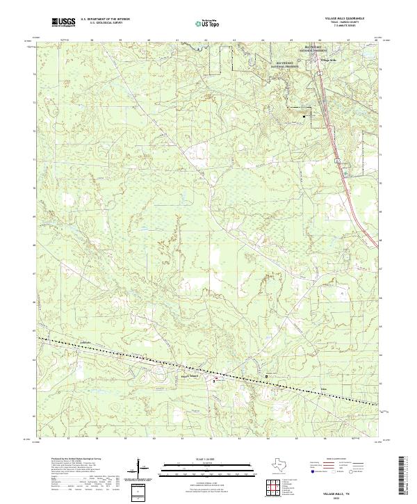
The Big Thicket National Preserve dominates this Hardin County landscape, where dense piney woods are intersected by the winding waters of Village Creek and Turkey Creek. This environment is characterized by a network of drainage basins, including Beaumont Cr and Pinoak Br, alongside several oxbow lakes like Mud Lake. Near the southern boundary, the settlement of Kountze serves as a local hub, with its grid expanding toward the neighboring timberlands.
Find a feature on this map
70 named features on this map. Tap any name to fly to it.
Don’t see what you’re looking for? This feature index may not catch every label — zoom into the map to look around manually.
Map Details
Editions of this 2022 Kountze North Map
This is the sole edition of this map. No revisions or reprints were ever made.
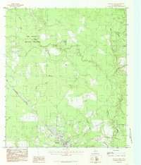
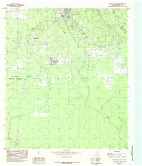
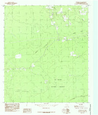
Historical Maps of Kountze Through Time
62 maps found
1955 Saratoga
Hardin County, TX
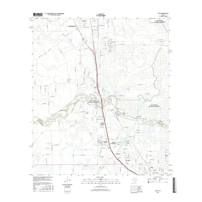
1960 Voth
Hardin County, TX
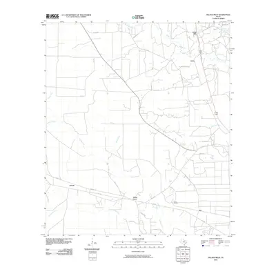
1984 Bragg
Hardin County, TX
1984 Deserter Baygall
Hardin County, TX
1984 Kountze North
Hardin County, TX
1984 Kountze South
Hardin County, TX
1984 Kountze SW
Hardin County, TX
1984 Saratoga
Hardin County, TX
1984 Thorson Gully
Hardin County, TX
1984 Village Mills
Hardin County, TX
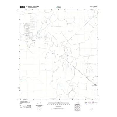
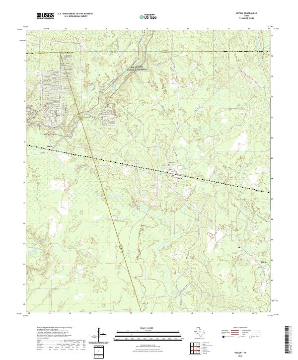
1984 Votaw
Hardin County, TX
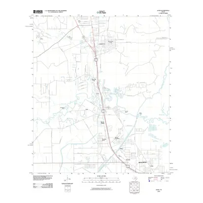
1993 Voth
Hardin County, TX
2010 Bragg
Hardin County, TX
2010 Deserter Baygall
Hardin County, TX
2010 Kountze North
Hardin County, TX
2010 Kountze South
Hardin County, TX
2010 Kountze SW
Hardin County, TX
2010 Saratoga
Hardin County, TX
2010 Thorson Gully
Hardin County, TX
2010 Village Mills
Hardin County, TX
2010 Votaw
Hardin County, TX
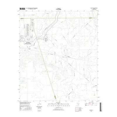
2010 Voth
Hardin County, TX
2013 Bragg
Hardin County, TX
2013 Deserter Baygall
Hardin County, TX
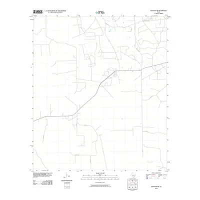
2013 Kountze North
Hardin County, TX
2013 Kountze South
Hardin County, TX
2013 Kountze SW
Hardin County, TX
2013 Saratoga
Hardin County, TX
2013 Thorson Gully
Hardin County, TX
2013 Village Mills
Hardin County, TX
2013 Votaw
Hardin County, TX
2013 Voth
Hardin County, TX
2016 Bragg
Hardin County, TX
2016 Deserter Baygall
Hardin County, TX
2016 Kountze North
Hardin County, TX
2016 Kountze South
Hardin County, TX
2016 Kountze SW
Hardin County, TX
2016 Saratoga
Hardin County, TX
2016 Thorson Gully
Hardin County, TX
2016 Village Mills
Hardin County, TX
2016 Votaw
Hardin County, TX
2016 Voth
Hardin County, TX
2019 Bragg
Hardin County, TX
2019 Deserter Baygall
Hardin County, TX
2019 Kountze North
Hardin County, TX
2019 Kountze South
Hardin County, TX
2019 Kountze SW
Hardin County, TX
2019 Saratoga
Hardin County, TX
2019 Thorson Gully
Hardin County, TX
2019 Village Mills
Hardin County, TX
2019 Votaw
Hardin County, TX
2019 Voth
Hardin County, TX
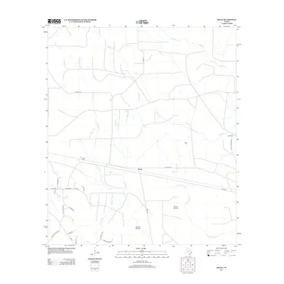
2022 Bragg
Hardin County, TX
2022 Deserter Baygall
Hardin County, TX
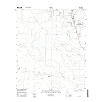
2022 Kountze North
Hardin County, TX
2022 Kountze South
Hardin County, TX
2022 Kountze SW
Hardin County, TX
2022 Saratoga
Hardin County, TX
2022 Thorson Gully
Hardin County, TX
2022 Village Mills
Hardin County, TX
2022 Votaw
Hardin County, TX
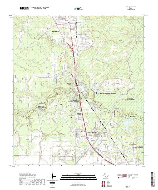
2022 Voth
Hardin County, TX