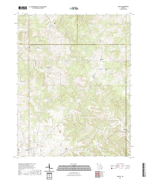
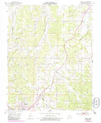
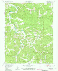
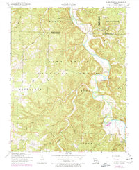
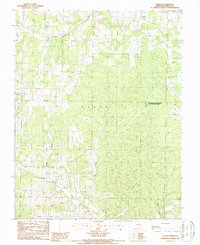
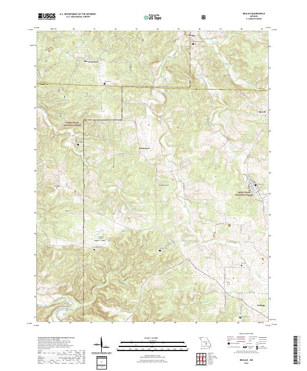
2021 Map of Maples
USGS Topo · Published 2021This historical map portrays the area of Maples in 2021, primarily covering Texas County as well as portions of Phelps County and Dent County. Featuring a scale of 1:24000, this map provides a highly detailed snapshot of the terrain, roads, buildings, counties, and historical landmarks in the Maples region at the time. Published in 2021, it is the sole known edition of this map.
Map Details
Editions of this 2021 Maples Map
This is the sole edition of this map. No revisions or reprints were ever made.
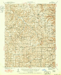
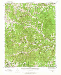
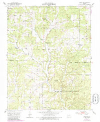
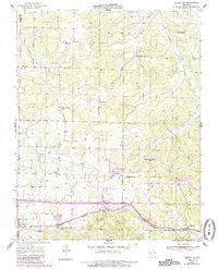
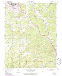
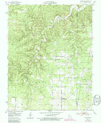
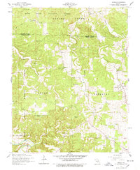
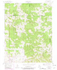
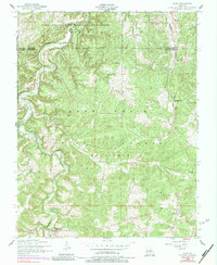
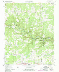
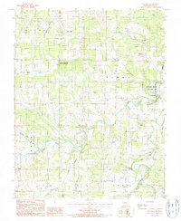
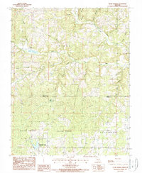
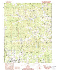
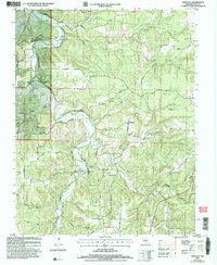
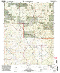
Historical Maps of Licking Through Time
51 maps found

1941 Bado
Texas County, MO
1943 Bado
Texas County, MO
1945 Clear Springs
Texas County, MO

1948 Clear Springs
Texas County, MO
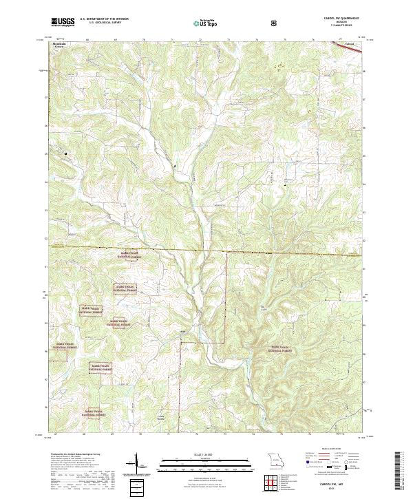
1950 Cabool SW
Texas County, MO
1951 Cabool NE
Texas County, MO
1951 Cabool NW
Texas County, MO
1951 Cabool SE
Texas County, MO
1951 Hartshorn
Texas County, MO
1951 Prescott
Texas County, MO
1954 Beulah
Texas County, MO
1954 Maples
Texas County, MO
1954 Roby
Texas County, MO
1954 Slabtown Spring
Texas County, MO
1968 Pine Crest
Texas County, MO
1987 Bucyrus
Texas County, MO
1987 Clear Springs
Texas County, MO
1987 Elk Creek
Texas County, MO
1987 Eunice
Texas County, MO
1987 Huggins
Texas County, MO

1987 Roubidoux
Texas County, MO
1987 Success
Texas County, MO
1987 Willow Springs North
Texas County, MO

2004 Beulah
Texas County, MO

2004 Cabool SE
Texas County, MO

2004 Cabool SW
Texas County, MO
2004 Prescott
Texas County, MO

2004 Roby
Texas County, MO

2004 Roubidoux
Texas County, MO

2004 Slabtown Spring
Texas County, MO
2004 Success
Texas County, MO

2004 Willow Springs North
Texas County, MO
2021 Beulah
Texas County, MO
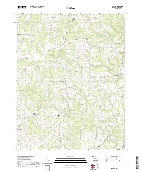
2021 Bucyrus
Texas County, MO
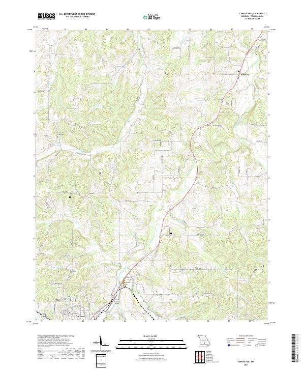
2021 Cabool NE
Texas County, MO
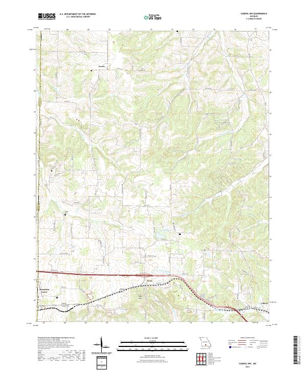
2021 Cabool NW
Texas County, MO
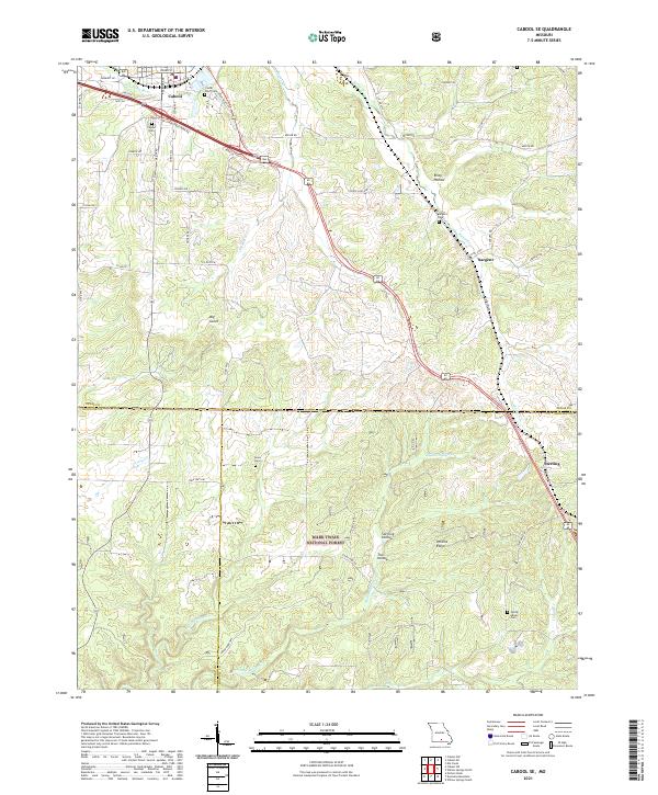
2021 Cabool SE
Texas County, MO
2021 Cabool SW
Texas County, MO
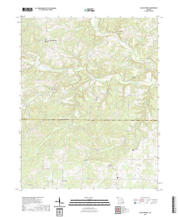
2021 Clear Springs
Texas County, MO
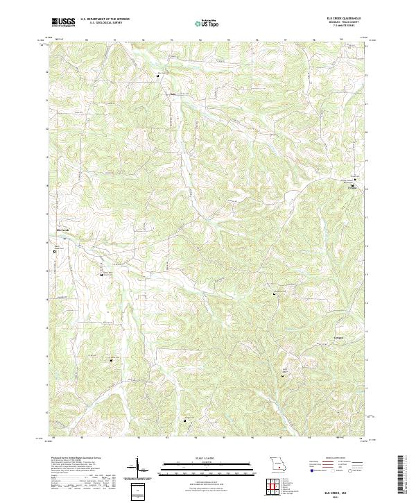
2021 Elk Creek
Texas County, MO
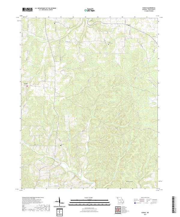
2021 Eunice
Texas County, MO
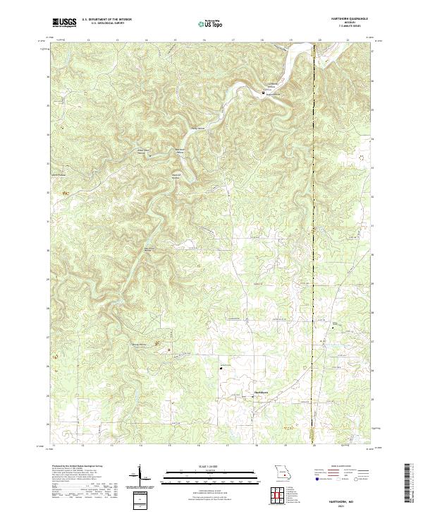
2021 Hartshorn
Texas County, MO
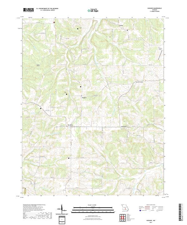
2021 Huggins
Texas County, MO
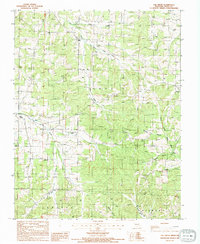
2021 Maples
Texas County, MO
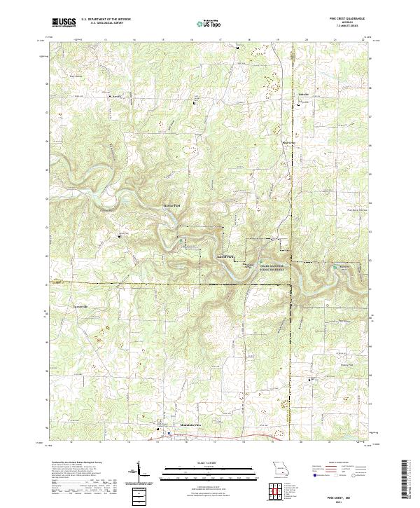
2021 Pine Crest
Texas County, MO
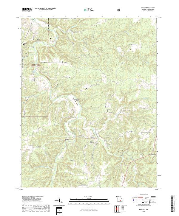
2021 Prescott
Texas County, MO
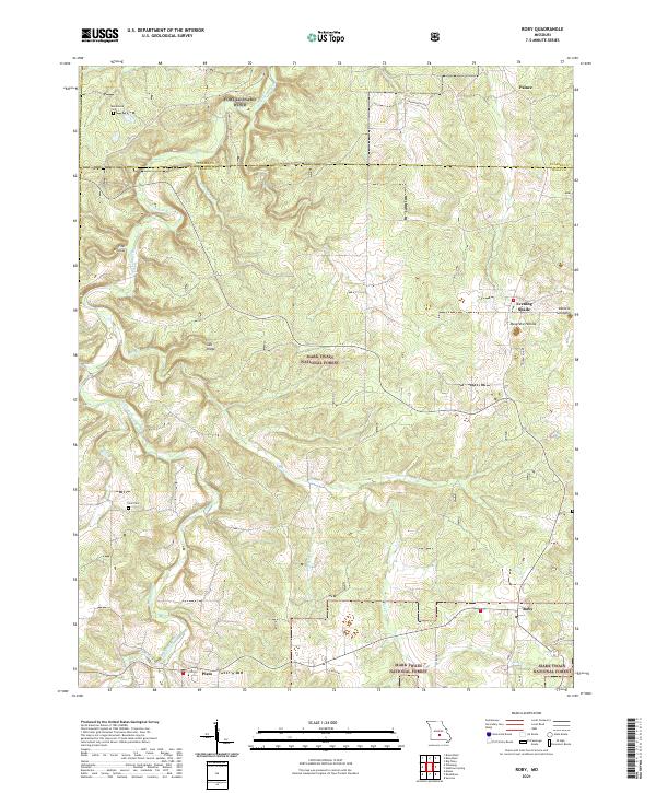
2021 Roby
Texas County, MO
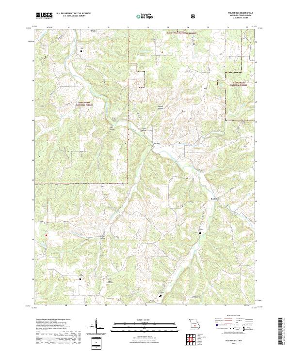
2021 Roubidoux
Texas County, MO
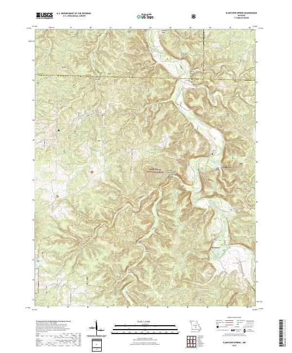
2021 Slabtown Spring
Texas County, MO
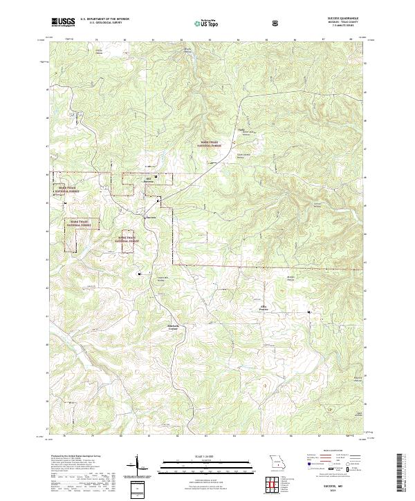
2021 Success
Texas County, MO
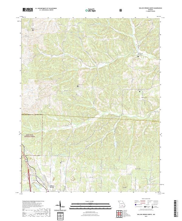
2021 Willow Springs North
Texas County, MO