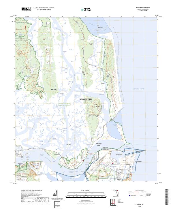
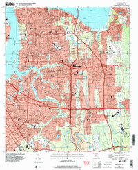
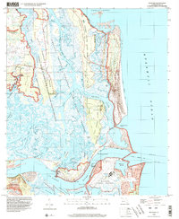
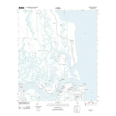
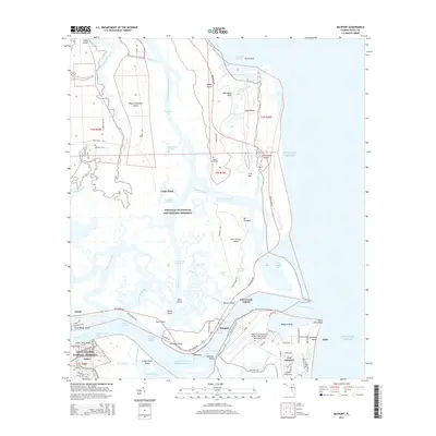
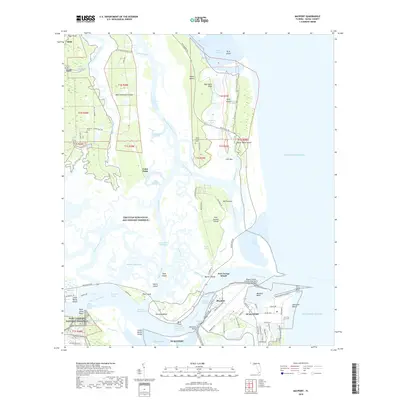
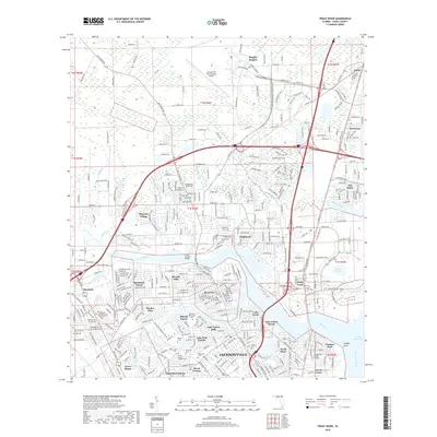
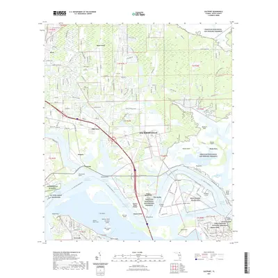
2024 Map of Mayport
USGS Topo · Published 2024About this map
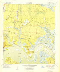
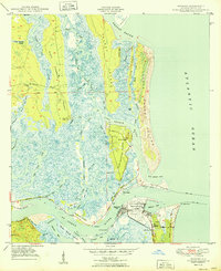
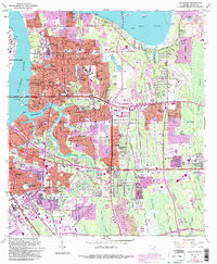
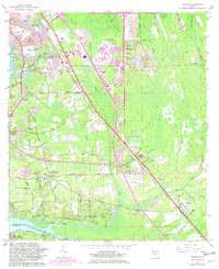
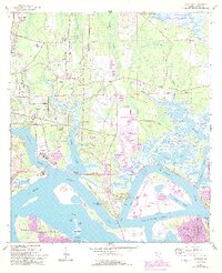
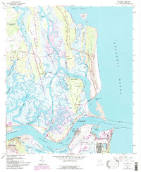
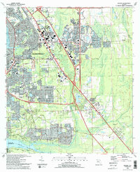
Mayport Naval Station and the sprawling Naval Station Mayport anchor the southern bank of the Saint Johns River, defining the modern maritime character of this coastal landscape. To the north, the terrain transitions into a complex network of marshes and islands protected within the Timucuan Ecological and Historic Preserve. This area, including Black Hammock Island and Talbot Island, preserves a prehistoric and colonial geography where tidal creeks like Sawpit Creek and Simpson Creek thread between high ground such as Mt Cornelia and Saint Johns Bluff.
Find a feature on this map
114 named features on this map. Tap any name to fly to it.
Don’t see what you’re looking for? This feature index may not catch every label — zoom into the map to look around manually.
Map Details
Editions of this 2024 Mayport Map
This is the sole edition of this map. No revisions or reprints were ever made.
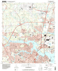
Historical Maps of Jacksonville Through Time
64 maps found
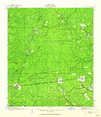
1917 Cambon
Duval County, FL
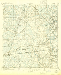
1918 Cambon
Duval County, FL

1918 Mayport
Duval County, FL

1948 Eastport
Duval County, FL
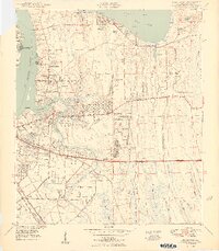
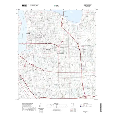
1950 Arlington
Duval County, FL
1950 Eastport
Duval County, FL
1950 Mayport
Duval County, FL

1950 Trout River
Duval County, FL
1952 Bayard
Duval County, FL
1958 Italia
Duval County, FL
1963 Arlington
Duval County, FL
1964 Bayard
Duval County, FL
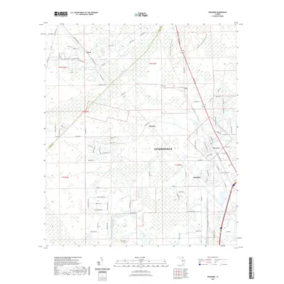
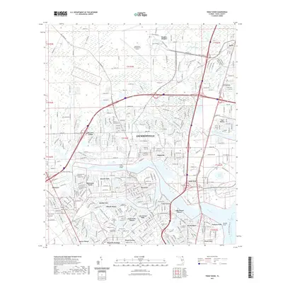
1964 Dinsmore
Duval County, FL
1964 Eastport
Duval County, FL
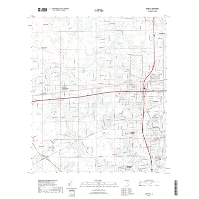
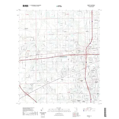
1964 Marietta
Duval County, FL
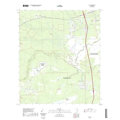
1964 Mayport
Duval County, FL
1964 Trout River
Duval County, FL
1993 Bayard
Duval County, FL
1994 Arlington
Duval County, FL
1994 Bayard
Duval County, FL
1994 Eastport
Duval County, FL
1994 Marietta
Duval County, FL
1994 Mayport
Duval County, FL
1994 Trout River
Duval County, FL
2012 Arlington
Duval County, FL
2012 Bayard
Duval County, FL
2012 Dinsmore
Duval County, FL
2012 Eastport
Duval County, FL
2012 Italia
Duval County, FL
2012 Marietta
Duval County, FL
2012 Mayport
Duval County, FL
2012 Trout River
Duval County, FL
2015 Arlington
Duval County, FL
2015 Bayard
Duval County, FL
2015 Dinsmore
Duval County, FL
2015 Eastport
Duval County, FL
2015 Italia
Duval County, FL
2015 Marietta
Duval County, FL
2015 Mayport
Duval County, FL
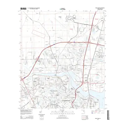
2015 Trout River
Duval County, FL
2018 Arlington
Duval County, FL
2018 Bayard
Duval County, FL
2018 Dinsmore
Duval County, FL

2018 Eastport
Duval County, FL
2018 Italia
Duval County, FL
2018 Marietta
Duval County, FL
2018 Mayport
Duval County, FL
2018 Trout River
Duval County, FL
2021 Arlington
Duval County, FL
2021 Bayard
Duval County, FL
2021 Dinsmore
Duval County, FL
2021 Eastport
Duval County, FL
2021 Italia
Duval County, FL
2021 Marietta
Duval County, FL
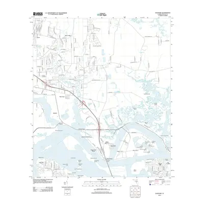
2021 Mayport
Duval County, FL
2021 Trout River
Duval County, FL
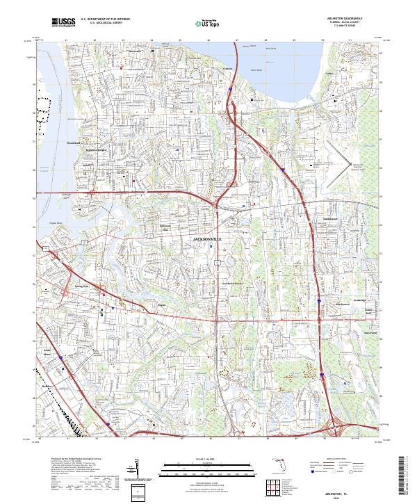
2024 Arlington
Duval County, FL
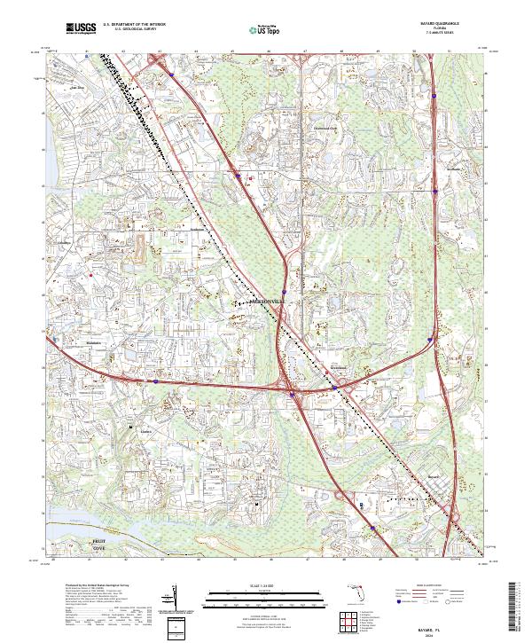
2024 Bayard
Duval County, FL
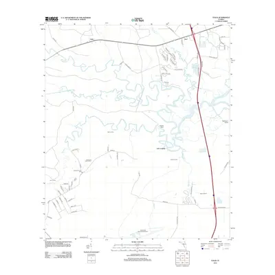
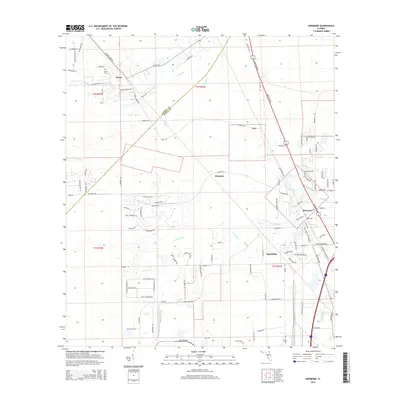
2024 Dinsmore
Duval County, FL
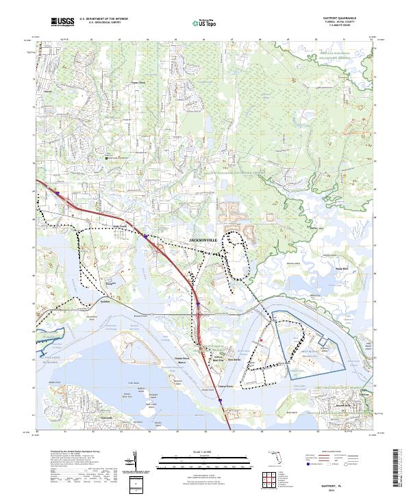
2024 Eastport
Duval County, FL
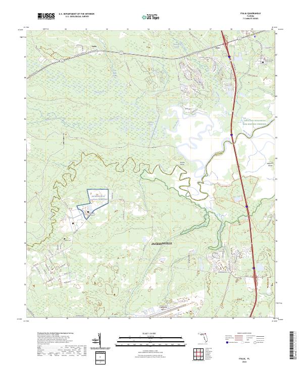
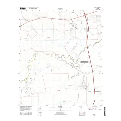
2024 Italia
Duval County, FL
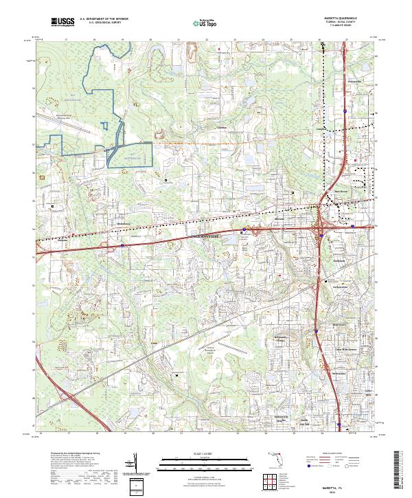
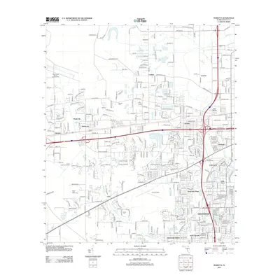
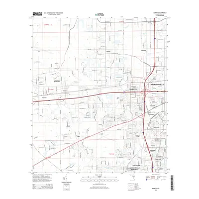
2024 Marietta
Duval County, FL
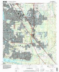
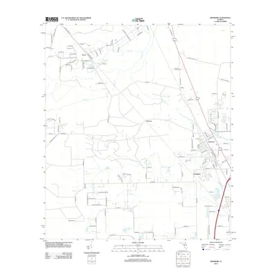
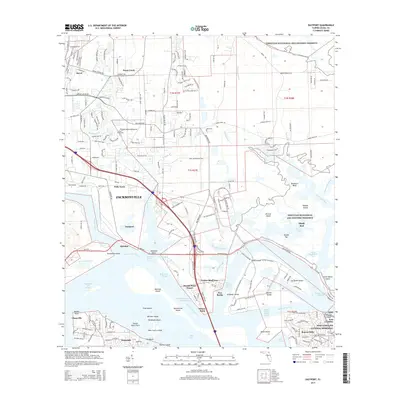
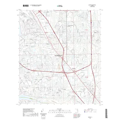
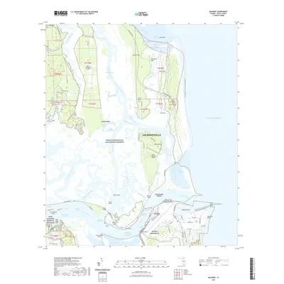
2024 Mayport
Duval County, FL
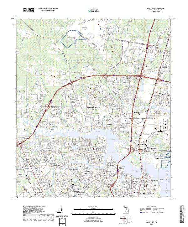
2024 Trout River
Duval County, FL
Featured Locations
- Duval County, FL
- Jacksonville, FL
- Fort George Island, Jacksonville
- East Mayport, Jacksonville
- Mayport, Jacksonville