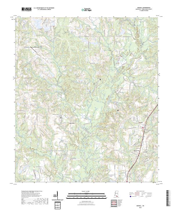
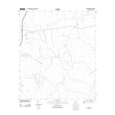
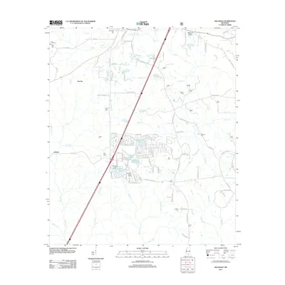
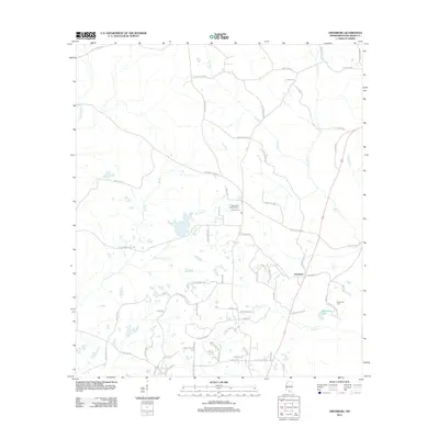
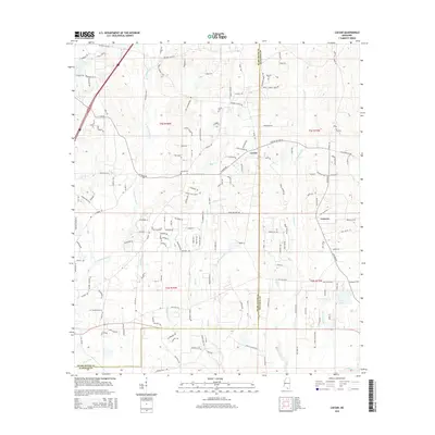
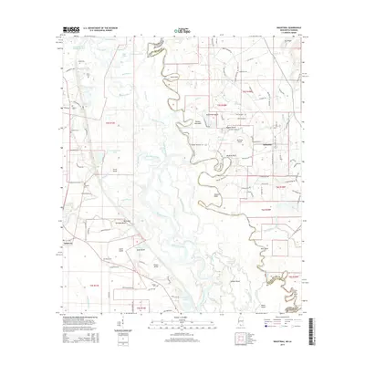
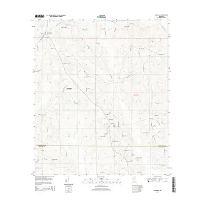
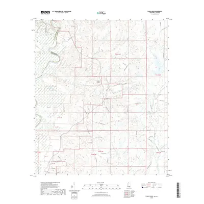
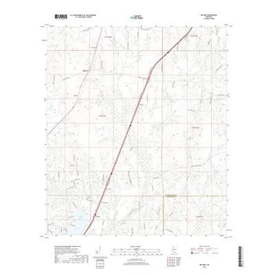
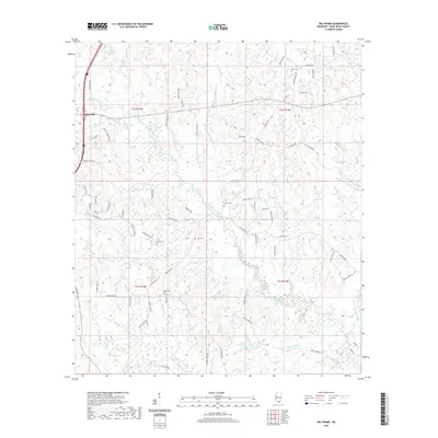
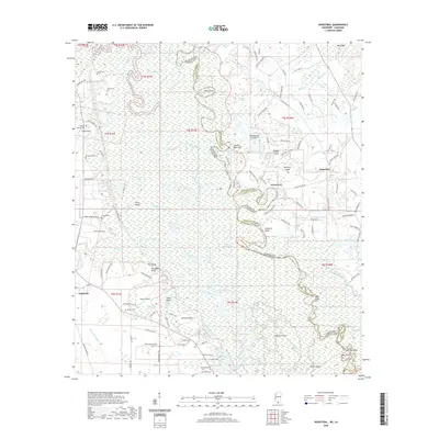
2024 Map of McNeill
USGS Topo · Published 2024About this map
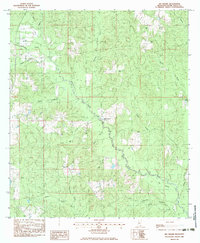
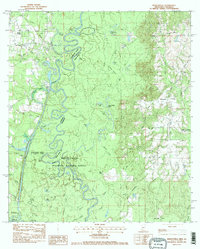
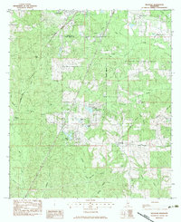
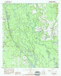
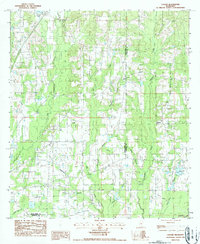
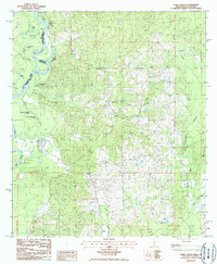
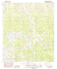
West Hobolochitto Creek and its many tributaries, including Mill Branch and Pondorous Creek, define the landscape of this portion of Pearl River County. The settlement of McNeill serves as a primary hub, situated along the rail corridor in the east, while smaller communities like Hawthorne and Mill Creek are nestled among the drainage basins. For genealogists and local historians, the presence of Hollman Cem, Smith Cem, and Whitehead Cem provides critical points for family research.
Find a feature on this map
147 named features on this map. Tap any name to fly to it.
Don’t see what you’re looking for? This feature index may not catch every label — zoom into the map to look around manually.
Map Details
Editions of this 2024 McNeill Map
This is the sole edition of this map. No revisions or reprints were ever made.
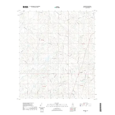
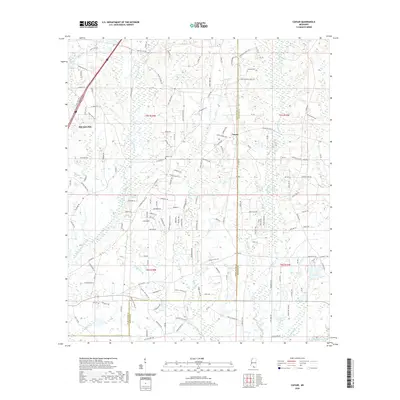
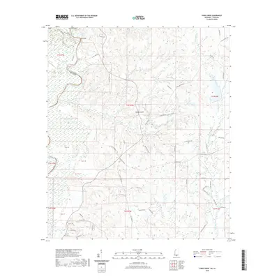
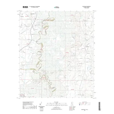
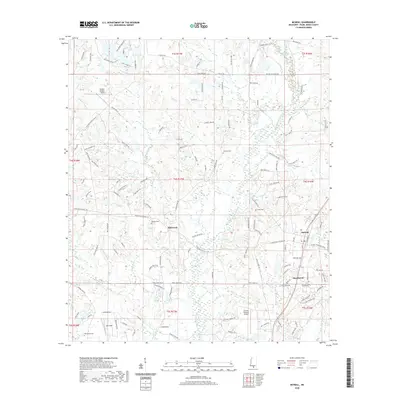
Historical Maps of Hawthorne Through Time
70 maps found
1958 Carnes
Pearl River County, MS
1976 Sun NE
Pearl River County, MS
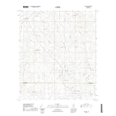
1982 Savannah
Pearl River County, MS
1983 Big Swamp
Pearl River County, MS
1983 Henleyfield
Pearl River County, MS
1983 Hillsdale
Pearl River County, MS
1983 Industrial
Pearl River County, MS
1986 Caesar
Pearl River County, MS
1986 Fords Creek
Pearl River County, MS
1986 McNeill
Pearl River County, MS
1986 Millard
Pearl River County, MS
1986 Orvisburg
Pearl River County, MS
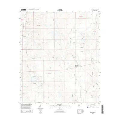
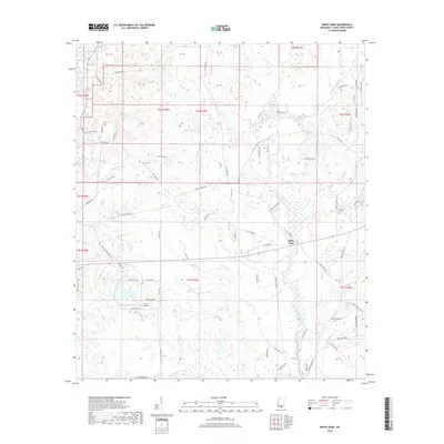
1986 White Sand
Pearl River County, MS
1997 Industrial
Pearl River County, MS
2000 Hillsdale
Pearl River County, MS
2012 Big Swamp
Pearl River County, MS
2012 Caesar
Pearl River County, MS
2012 Fords Creek
Pearl River County, MS
2012 Henleyfield
Pearl River County, MS
2012 Hillsdale
Pearl River County, MS
2012 Industrial
Pearl River County, MS
2012 McNeill
Pearl River County, MS
2012 Millard
Pearl River County, MS
2012 Orvisburg
Pearl River County, MS
2012 Savannah
Pearl River County, MS
2012 White Sand
Pearl River County, MS
2015 Big Swamp
Pearl River County, MS
2015 Caesar
Pearl River County, MS
2015 Fords Creek
Pearl River County, MS
2015 Henleyfield
Pearl River County, MS
2015 Hillsdale
Pearl River County, MS
2015 Industrial
Pearl River County, MS
2015 McNeill
Pearl River County, MS
2015 Millard
Pearl River County, MS
2015 Orvisburg
Pearl River County, MS
2015 Savannah
Pearl River County, MS
2015 White Sand
Pearl River County, MS
2018 Big Swamp
Pearl River County, MS
2018 Caesar
Pearl River County, MS
2018 Fords Creek
Pearl River County, MS

2018 Henleyfield
Pearl River County, MS
2018 Hillsdale
Pearl River County, MS
2018 Industrial
Pearl River County, MS
2018 McNeill
Pearl River County, MS
2018 Millard
Pearl River County, MS
2018 Orvisburg
Pearl River County, MS
2018 Savannah
Pearl River County, MS
2018 White Sand
Pearl River County, MS
2020 Big Swamp
Pearl River County, MS
2020 Caesar
Pearl River County, MS
2020 Fords Creek
Pearl River County, MS
2020 Henleyfield
Pearl River County, MS
2020 Industrial
Pearl River County, MS
2020 McNeill
Pearl River County, MS
2020 Orvisburg
Pearl River County, MS
2020 Savannah
Pearl River County, MS
2020 White Sand
Pearl River County, MS
2021 Hillsdale
Pearl River County, MS
2021 Millard
Pearl River County, MS
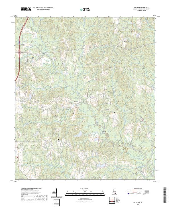
2024 Big Swamp
Pearl River County, MS
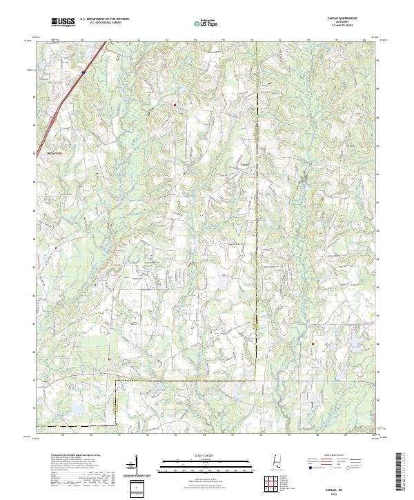
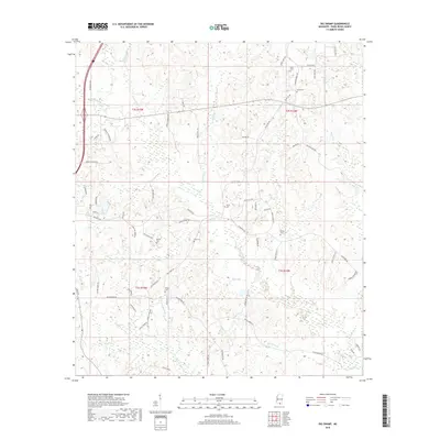
2024 Caesar
Pearl River County, MS
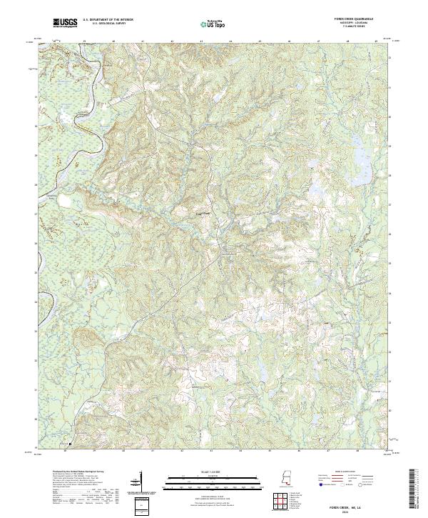
2024 Fords Creek
Pearl River County, MS
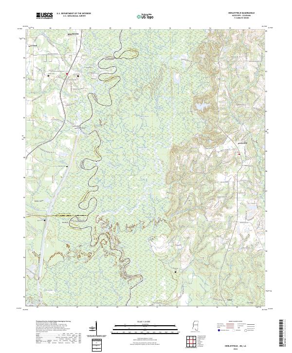
2024 Henleyfield
Pearl River County, MS
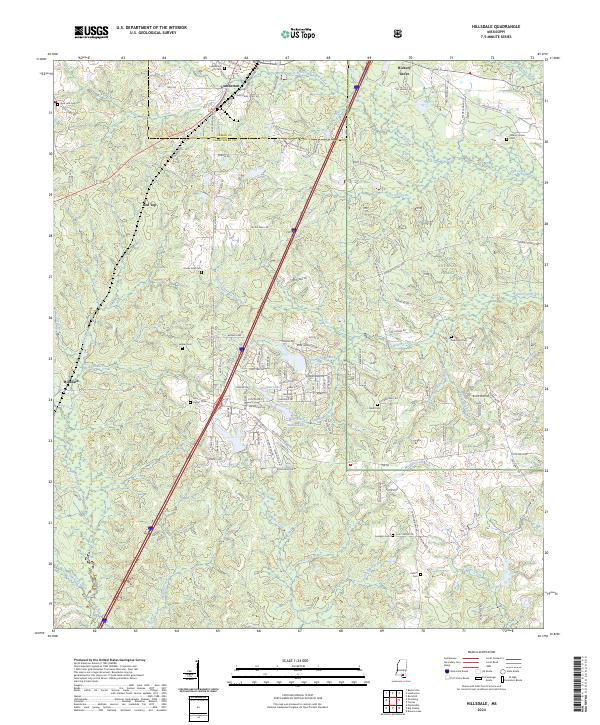
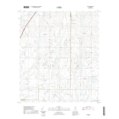
2024 Hillsdale
Pearl River County, MS
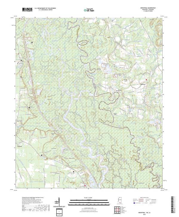
2024 Industrial
Pearl River County, MS
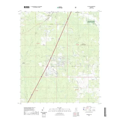
2024 McNeill
Pearl River County, MS
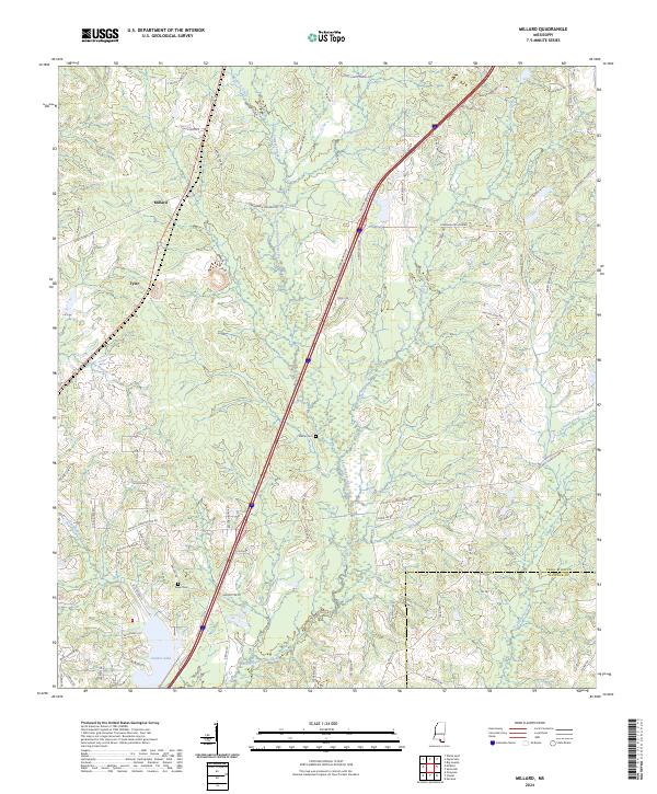
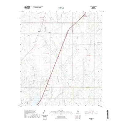
2024 Millard
Pearl River County, MS
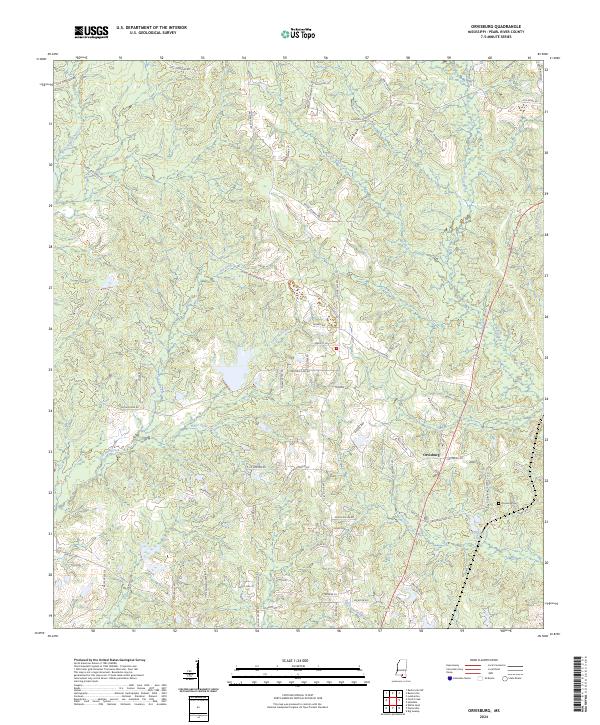
2024 Orvisburg
Pearl River County, MS
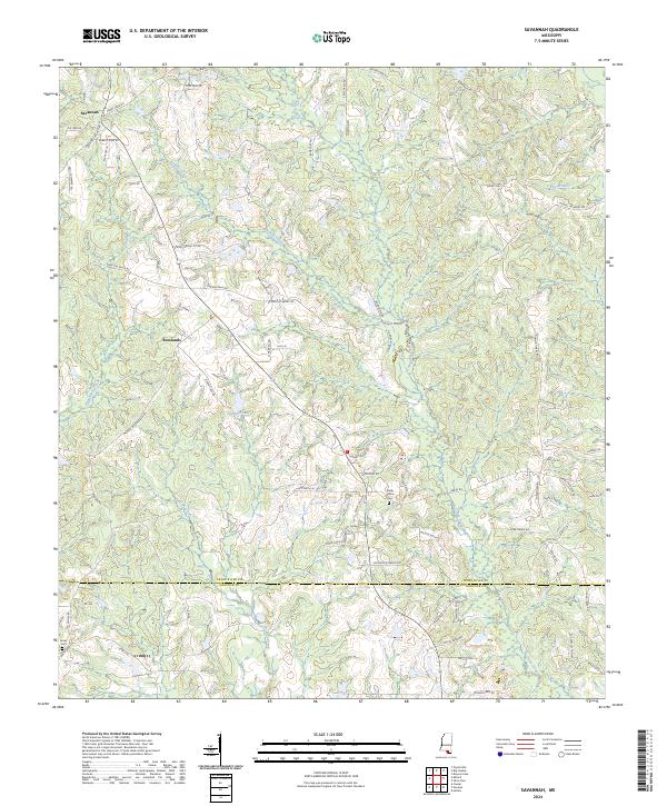
2024 Savannah
Pearl River County, MS
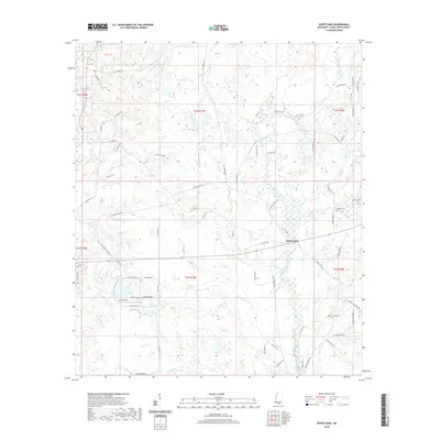
2024 White Sand
Pearl River County, MS