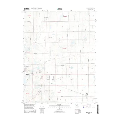
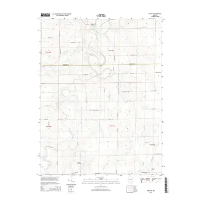
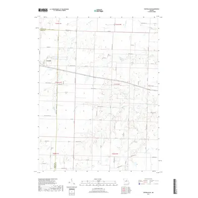
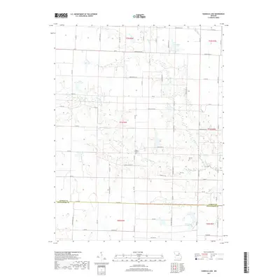
1972 Map of Mexico West
USGS Topo · Published 1985About this map
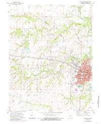
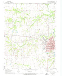
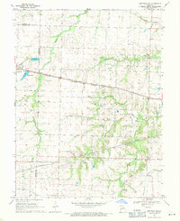
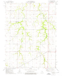
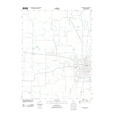
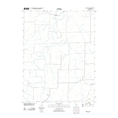
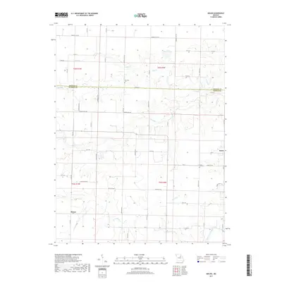
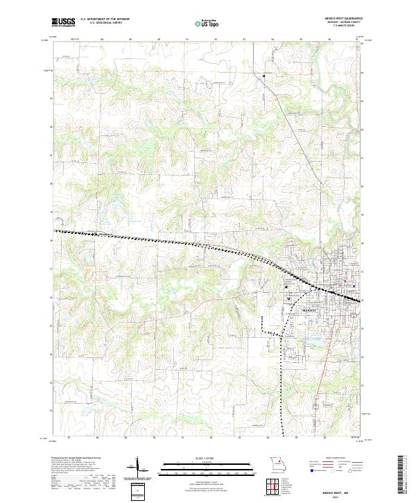
The city of Mexico serves as the focal point for this survey of central Audrain County, showcasing the intersection of agricultural land and early industrial growth. The western outskirts of the city are defined by institutional landmarks such as the County Farm, the Fairground, and several educational facilities including Hawthorne Sch and a Vocational Sch. To the northwest, the settlement of Thompson sits along the dual rail lines of the Norfolk and Western and the Illinois Central Gulf, reflecting the region's historical reliance on these transport corridors.
Find a feature on this map
33 named features on this map. Tap any name to fly to it.
Don’t see what you’re looking for? This feature index may not catch every label — zoom into the map to look around manually.
Map Details
Editions of this 1972 Mexico West Map
2 editions found
Historical Maps of Mexico Through Time
45 maps found
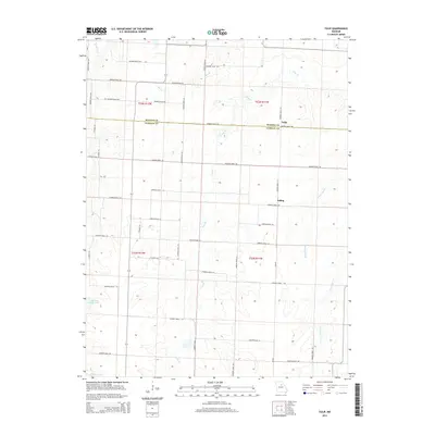
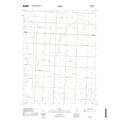
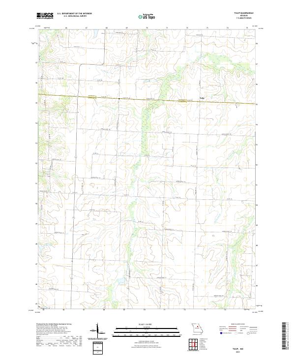
1958 Tulip
Audrain County, MO
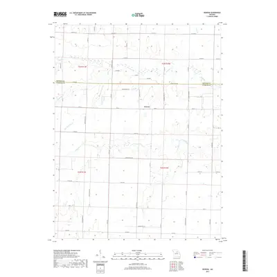
1960 Rowena
Audrain County, MO
1969 Centralia NE
Audrain County, MO
1972 Mexico East
Audrain County, MO
1972 Mexico West
Audrain County, MO
1972 Molino
Audrain County, MO
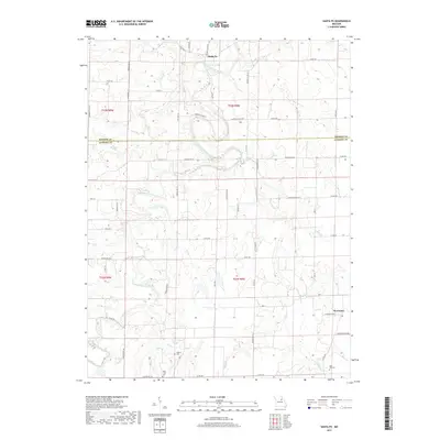
1972 Santa Fe
Audrain County, MO
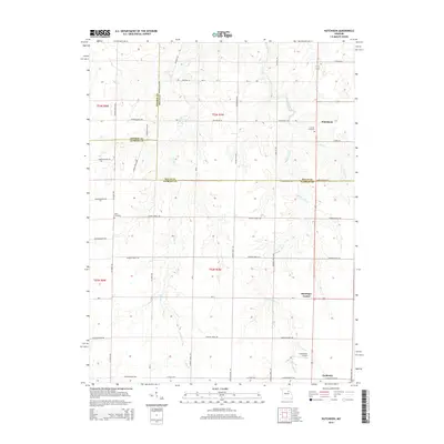
1973 Hutchison
Audrain County, MO
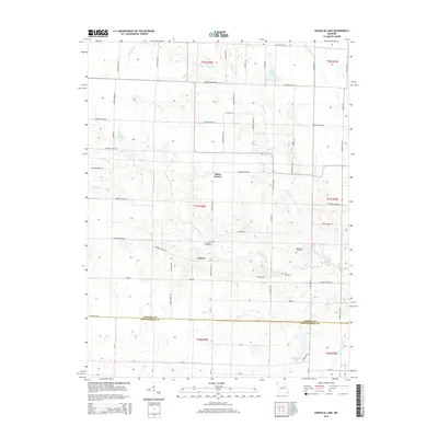
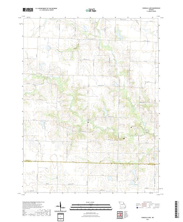
1973 Vandalia Lake
Audrain County, MO
2012 Centralia NE
Audrain County, MO
2012 Hutchison
Audrain County, MO
2012 Mexico East
Audrain County, MO
2012 Mexico West
Audrain County, MO
2012 Molino
Audrain County, MO
2012 Rowena
Audrain County, MO
2012 Santa Fe
Audrain County, MO
2012 Tulip
Audrain County, MO
2012 Vandalia Lake
Audrain County, MO
2014 Centralia NE
Audrain County, MO
2014 Mexico East
Audrain County, MO
2014 Mexico West
Audrain County, MO
2014 Molino
Audrain County, MO
2014 Rowena
Audrain County, MO
2014 Santa Fe
Audrain County, MO
2014 Tulip
Audrain County, MO
2014 Vandalia Lake
Audrain County, MO
2015 Hutchison
Audrain County, MO
2017 Centralia NE
Audrain County, MO
2017 Hutchison
Audrain County, MO
2017 Mexico East
Audrain County, MO
2017 Mexico West
Audrain County, MO
2017 Molino
Audrain County, MO
2017 Rowena
Audrain County, MO
2017 Santa Fe
Audrain County, MO
2017 Tulip
Audrain County, MO
2017 Vandalia Lake
Audrain County, MO
2021 Centralia NE
Audrain County, MO
2021 Hutchison
Audrain County, MO
2021 Mexico East
Audrain County, MO
2021 Mexico West
Audrain County, MO
2021 Molino
Audrain County, MO
2021 Rowena
Audrain County, MO
2021 Santa Fe
Audrain County, MO
2021 Tulip
Audrain County, MO
2021 Vandalia Lake
Audrain County, MO