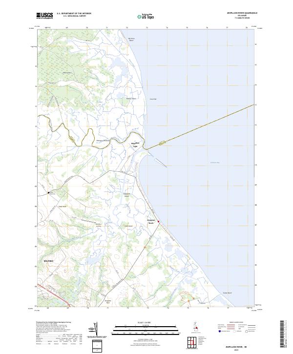
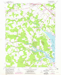
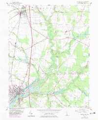
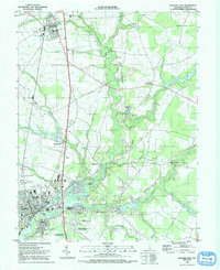
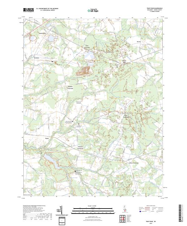
2023 Map of Mispillion River
USGS Topo · Published 2023About this map
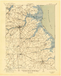
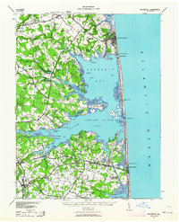
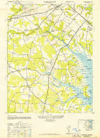
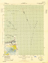
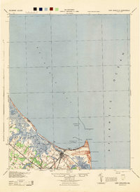
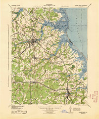
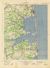
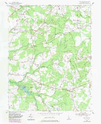
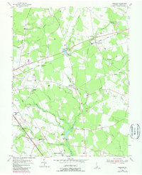
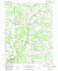
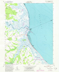
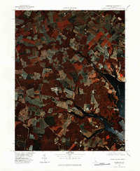
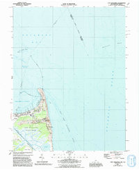
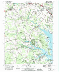
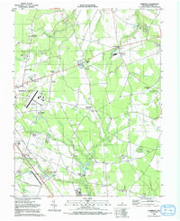
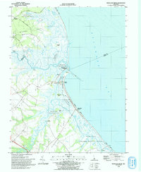
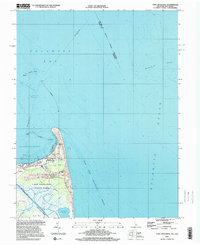
Mispillion Light stands as a sentinel at the mouth of the Mispillion River, marking the critical junction where inland waterways meet the Delaware Bay. This coastal landscape is defined by the tidal rhythms of the Delmarva Peninsula, where a complex network of channels like Crooked Gut and Grecos Canal weave through the marshy expanse of Milford Neck. The map documents the persistent human presence on these low-lying lands, from the established community at Slaughter Beach to the more isolated reaches of Big Stone Beach and Fowler Beach. Local history is anchored by the Cedar Neck Cem and the residential clusters near Murphy's Landing, illustrating how settlement patterns have adapted to the water-dominated geography of Sussex Co and Kent Co. The presence of features like Draper-Bennet Ditch suggests a long history of water management and land drainage essential for life in the coastal wetlands.
Find a feature on this map
46 named features on this map. Tap any name to fly to it.
Don’t see what you’re looking for? This feature index may not catch every label — zoom into the map to look around manually.
Map Details
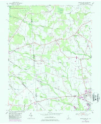
Editions of this 2023 Mispillion River Map
This is the sole edition of this map. No revisions or reprints were ever made.
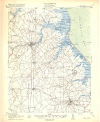
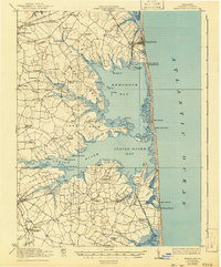
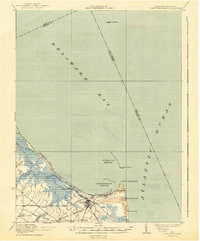
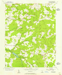
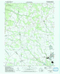
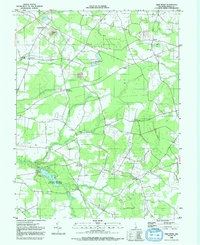
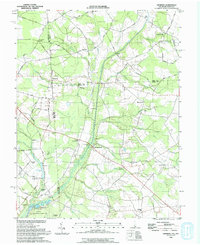
Historical Maps of Fort Saulsbury Through Time
43 maps found

1918 Cape Henlopen
Sussex County, DE
1918 Cedar Creek
Sussex County, DE
1918 Rehoboth
Sussex County, DE

1919 Cedar Creek
Sussex County, DE
1937 Cape Henlopen
Sussex County, DE
1938 Cedar Creek
Sussex County, DE
1938 Rehoboth
Sussex County, DE
1943 Fairmount
Sussex County, DE
1944 Cape Henlopen
Sussex County, DE
1944 Cape Henlopen
Sussex County, DE
1944 Cedar Creek
Sussex County, DE
1944 Harbeson
Sussex County, DE
1944 Rehoboth
Sussex County, DE
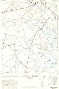
1948 Fairmount
Sussex County, DE
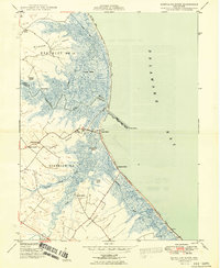
1949 Mispillion River
Sussex County, DE
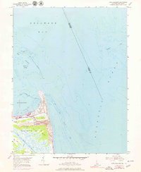
1954 Cape Henlopen
Sussex County, DE
1954 Fairmount
Sussex County, DE
1954 Trap Pond
Sussex County, DE
1955 Harbeson
Sussex County, DE
1955 Hickman
Sussex County, DE
1955 Mispillion River
Sussex County, DE
1955 Seaford East
Sussex County, DE
1955 Seaford West
Sussex County, DE
1955 Trap Pond
Sussex County, DE
1980 Cape Henlopen
Sussex County, DE
1980 Fairmount
Sussex County, DE
1984 Cape Henlopen
Sussex County, DE
1984 Fairmount
Sussex County, DE
1992 Harbeson
Sussex County, DE
1992 Seaford East
Sussex County, DE
1992 Seaford West
Sussex County, DE
1992 Trap Pond
Sussex County, DE
1993 Hickman
Sussex County, DE
1993 Mispillion River
Sussex County, DE
1997 Cape Henlopen
Sussex County, DE
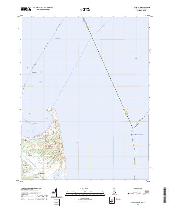
2023 Cape Henlopen
Sussex County, DE
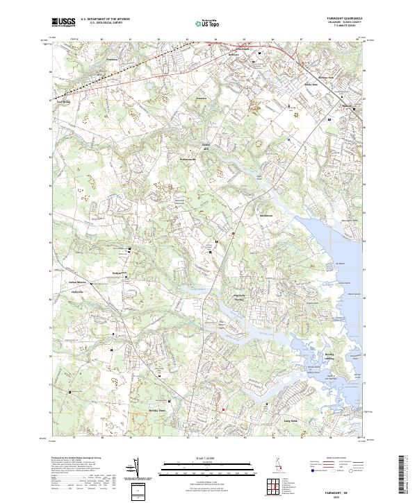
2023 Fairmount
Sussex County, DE
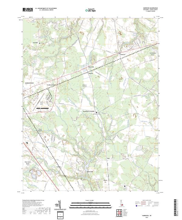
2023 Harbeson
Sussex County, DE
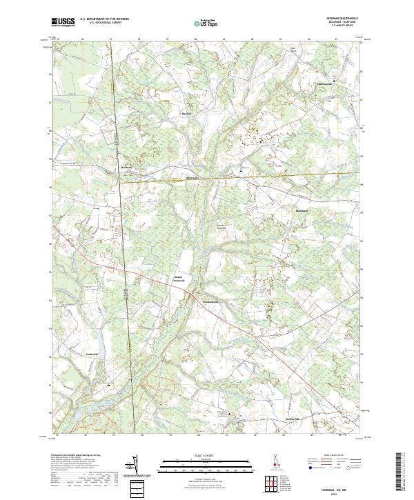
2023 Hickman
Sussex County, DE
2023 Mispillion River
Sussex County, DE
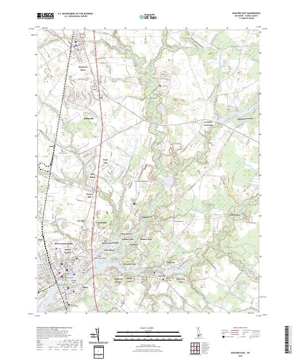
2023 Seaford East
Sussex County, DE
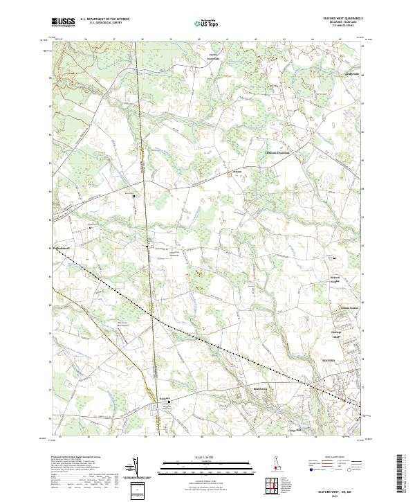
2023 Seaford West
Sussex County, DE
2023 Trap Pond
Sussex County, DE