
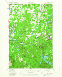
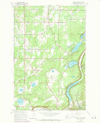
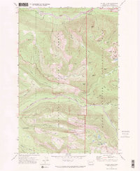
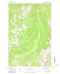
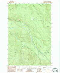
1997 Map of Nisqually
USGS Topo · Published 2003About this map
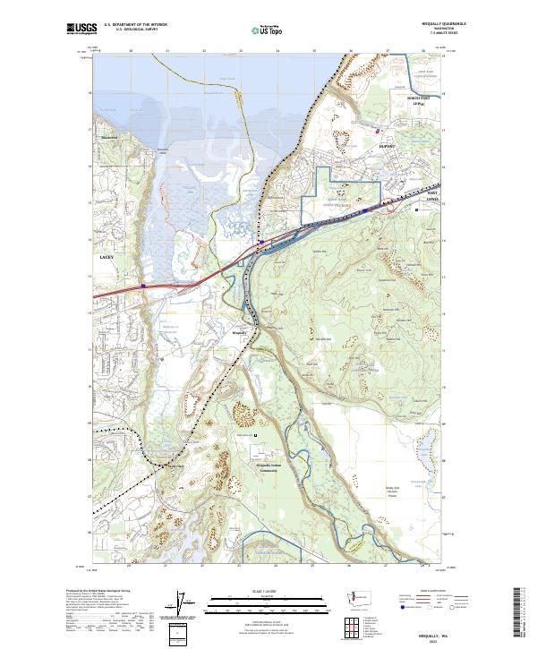
The Nisqually River delta defines this landscape at the turn of the millennium, where the river meets the Nisqually Reach of Puget Sound. Large portions of the terrain are dedicated to conservation and military use, specifically the Nisqually National Wildlife Refuge and the sprawling Fort Lewis Military Reservation. For the local historian, the map preserves the locations of two distinct early trading outposts: the Fort Nisqually 1833 Historical Site near the DuPont Wharf and the Fort Nisqually 1843 Historical Site further inland. The transition from industrial and military history to modern environmental stewardship is visible across the Nisqually Flats. Settlement patterns are concentrated near Beachcrest and the village of Nisqually, while the inland area is marked by numerous named peaks like Monette Hill and Atkins Hill within the Argonne Forest.
Find a feature on this map
68 named features on this map. Tap any name to fly to it.
Don’t see what you’re looking for? This feature index may not catch every label — zoom into the map to look around manually.
Map Details
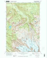
Editions of this 1997 Nisqually Map
This is the sole edition of this map. No revisions or reprints were ever made.
Historical Maps of Lacey Through Time
58 maps found

1941 Tacoma South
Pierce County, WA

1941 Tanwax Lake
Pierce County, WA

1944 Ohop Valley
Pierce County, WA

1944 Tacoma South
Pierce County, WA

1948 Nisqually
Pierce County, WA
1949 Ohop Valley
Pierce County, WA

1949 Tacoma North
Pierce County, WA
1959 Harts Lake
Pierce County, WA
1959 Mc Neil Island
Pierce County, WA
1959 Nisqually
Pierce County, WA

1959 Ohop Valley
Pierce County, WA
1959 Tanwax Lake
Pierce County, WA
1961 Tacoma North
Pierce County, WA

1961 Tacoma South
Pierce County, WA
1961 Tacoma South
Pierce County, WA
1971 Chinook Pass
Pierce County, WA
1971 Golden Lakes
Pierce County, WA

1971 Mount Wow
Pierce County, WA
1971 Mowich Lake
Pierce County, WA
1971 Mt Rainier East
Pierce County, WA
1971 Mt Rainier West
Pierce County, WA

1971 Sunrise
Pierce County, WA
1971 White River Park
Pierce County, WA

1986 Bearhead Mtn
Pierce County, WA
1986 Clear West Peak
Pierce County, WA
1986 Old Baldy Mtn.
Pierce County, WA

1986 Sun Top
Pierce County, WA
1987 Lake Kapowsin
Pierce County, WA
1987 Le Dout Creek
Pierce County, WA

1989 Noble Knob
Pierce County, WA
1990 Harts Lake
Pierce County, WA

1990 Tanwax Lake
Pierce County, WA

1997 Mc Neil Island
Pierce County, WA
1997 Nisqually
Pierce County, WA

1997 Tacoma North
Pierce County, WA

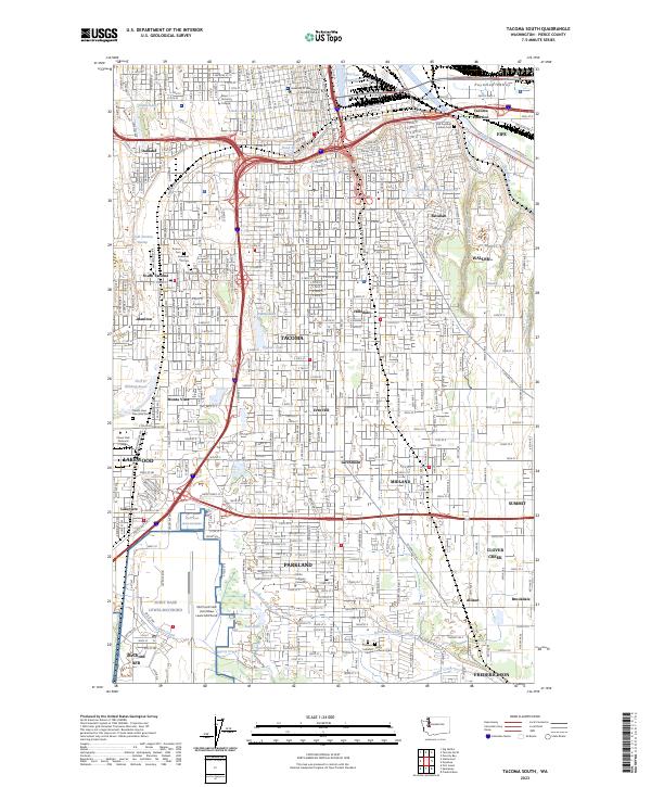
1997 Tacoma South
Pierce County, WA
2000 Mount Wow
Pierce County, WA
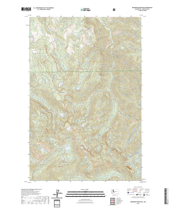
2023 Bearhead Mountain
Pierce County, WA

2023 Chinook Pass
Pierce County, WA
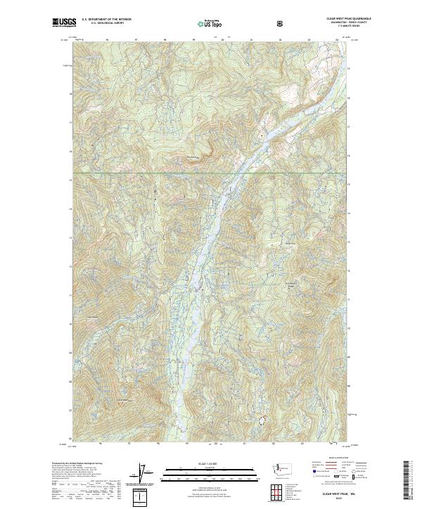
2023 Clear West Peak
Pierce County, WA
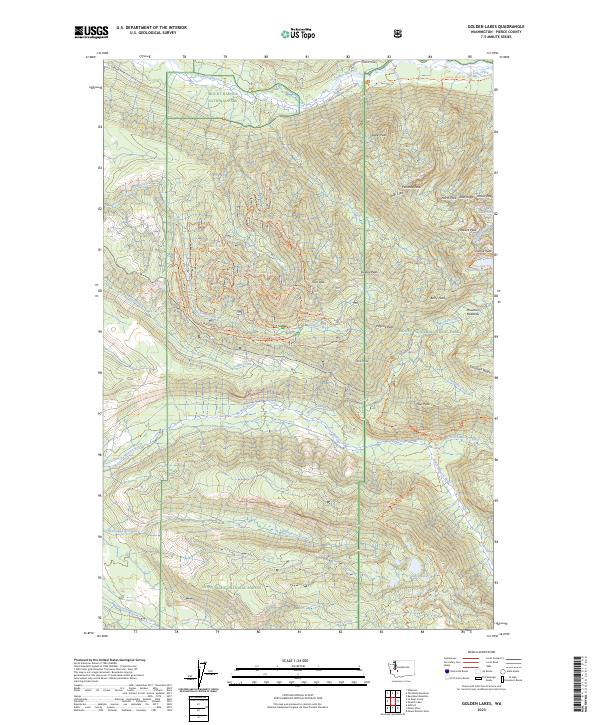
2023 Golden Lakes
Pierce County, WA
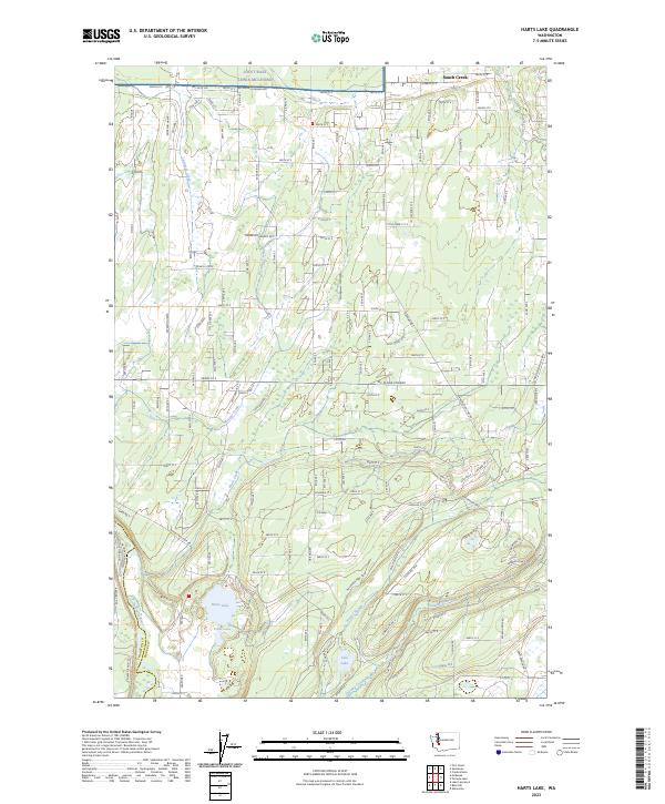
2023 Harts Lake
Pierce County, WA
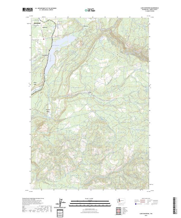
2023 Lake Kapowsin
Pierce County, WA
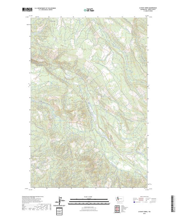
2023 Le Dout Creek
Pierce County, WA
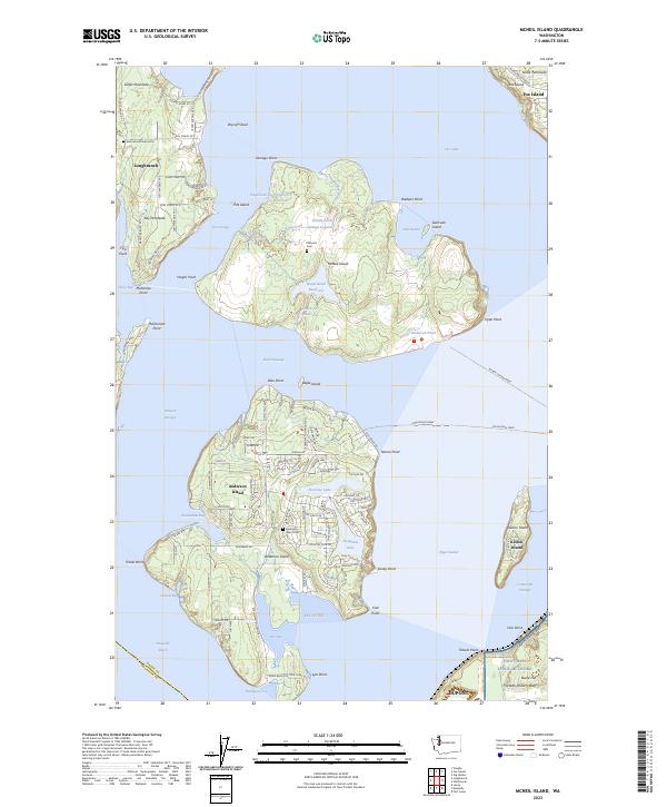
2023 McNeil Island
Pierce County, WA
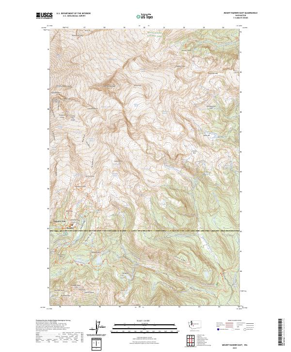
2023 Mount Rainier East
Pierce County, WA
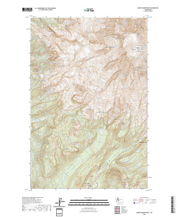
2023 Mount Rainier West
Pierce County, WA
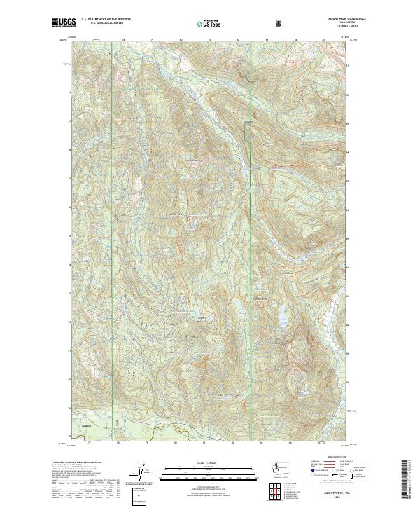
2023 Mount Wow
Pierce County, WA
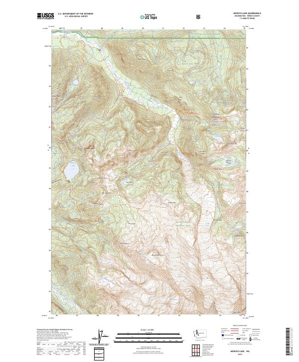
2023 Mowich Lake
Pierce County, WA
2023 Nisqually
Pierce County, WA
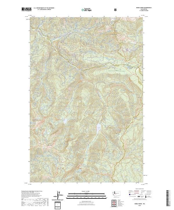
2023 Noble Knob
Pierce County, WA
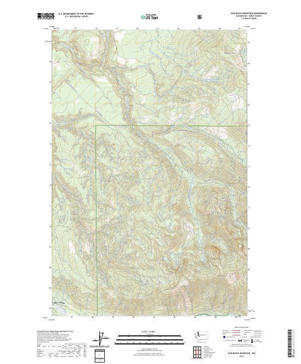
2023 Old Baldy Mountain
Pierce County, WA
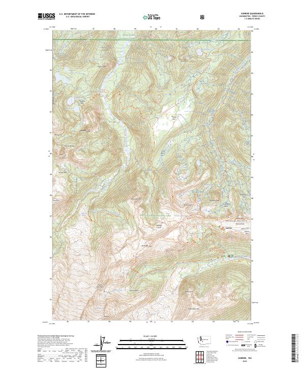
2023 Sunrise
Pierce County, WA
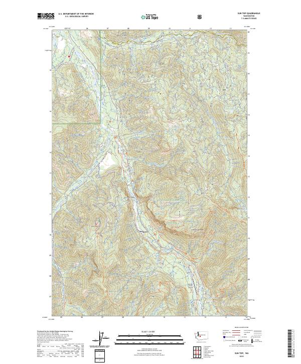
2023 Sun Top
Pierce County, WA
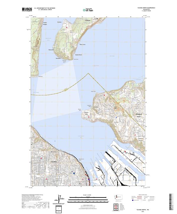
2023 Tacoma North
Pierce County, WA
2023 Tacoma South
Pierce County, WA
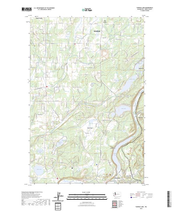
2023 Tanwax Lake
Pierce County, WA
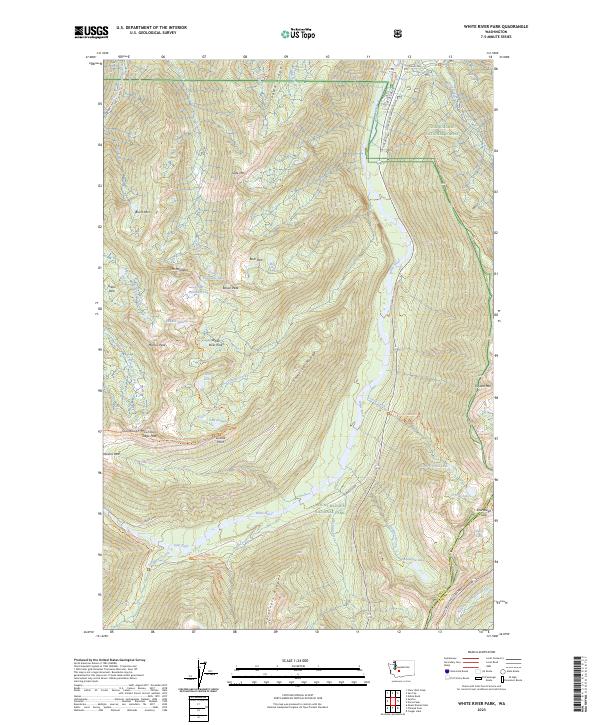
2023 White River Park
Pierce County, WA