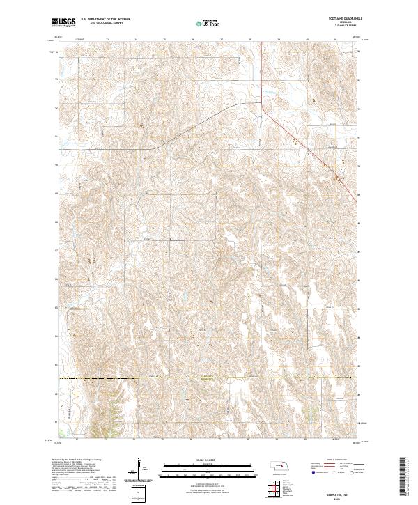
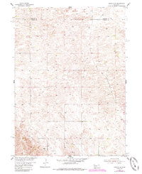
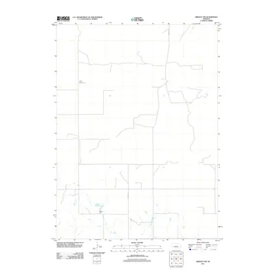
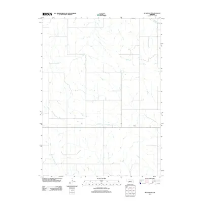
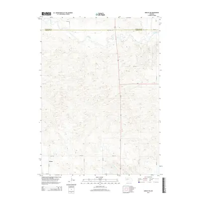
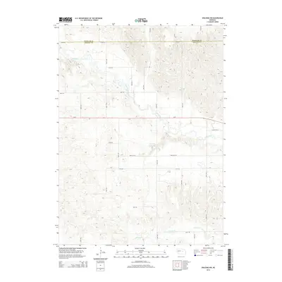
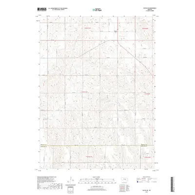
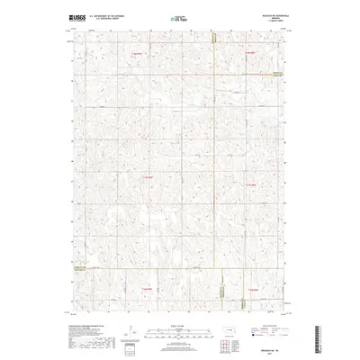
2021 Map of Scotia NE
USGS Topo · Published 2021About this map
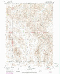
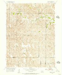
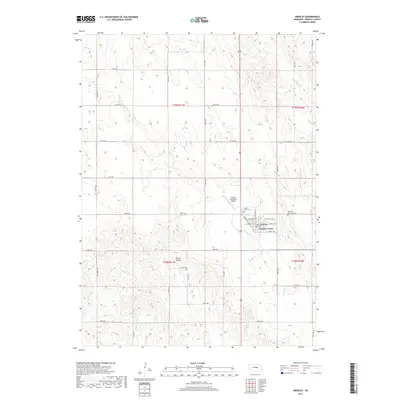
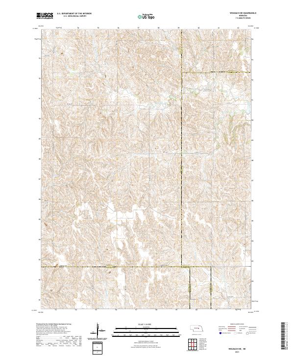
The rolling loess hills of central Nebraska define the landscape of this contemporary survey, where the boundary between Greeley and Howard Counties follows the section lines through high agricultural terrain. Water courses like Munson Creek and Cedar Creek carve deep drainage patterns across the terrain, illustrating the intricate hydrology of the Loup River watershed. The map reveals a structured grid of rural infrastructure, from Salem Road to Brayton Road, which supports the region's ranching and farming operations.
Find a feature on this map
36 named features on this map. Tap any name to fly to it.
Don’t see what you’re looking for? This feature index may not catch every label — zoom into the map to look around manually.
Map Details
Editions of this 2021 Scotia NE Map
This is the sole edition of this map. No revisions or reprints were ever made.
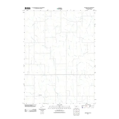
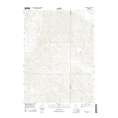
Historical Maps of Greeley County Through Time
45 maps found
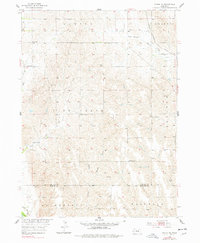
1953 Scotia NE
Greeley County, NE
1954 Greeley
Greeley County, NE
1954 Greeley NE
Greeley County, NE
1954 Greeley NW
Greeley County, NE
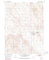
1954 Horace
Greeley County, NE
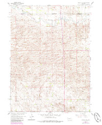
1954 Spalding NW
Greeley County, NE
1954 Spalding SE
Greeley County, NE
1954 Spalding SW
Greeley County, NE
1954 Wolbach NE
Greeley County, NE
2011 Greeley
Greeley County, NE
2011 Greeley NE
Greeley County, NE
2011 Greeley NW
Greeley County, NE
2011 Horace
Greeley County, NE
2011 Scotia NE
Greeley County, NE
2011 Spalding NW
Greeley County, NE
2011 Spalding SE
Greeley County, NE
2011 Spalding SW
Greeley County, NE
2011 Wolbach NE
Greeley County, NE
2014 Greeley
Greeley County, NE
2014 Greeley NE
Greeley County, NE
2014 Greeley NW
Greeley County, NE
2014 Horace
Greeley County, NE
2014 Scotia NE
Greeley County, NE
2014 Spalding NW
Greeley County, NE
2014 Spalding SE
Greeley County, NE
2014 Spalding SW
Greeley County, NE
2014 Wolbach NE
Greeley County, NE
2017 Greeley
Greeley County, NE
2017 Greeley NE
Greeley County, NE
2017 Greeley NW
Greeley County, NE
2017 Horace
Greeley County, NE
2017 Scotia NE
Greeley County, NE
2017 Spalding NW
Greeley County, NE
2017 Spalding SE
Greeley County, NE
2017 Spalding SW
Greeley County, NE
2017 Wolbach NE
Greeley County, NE
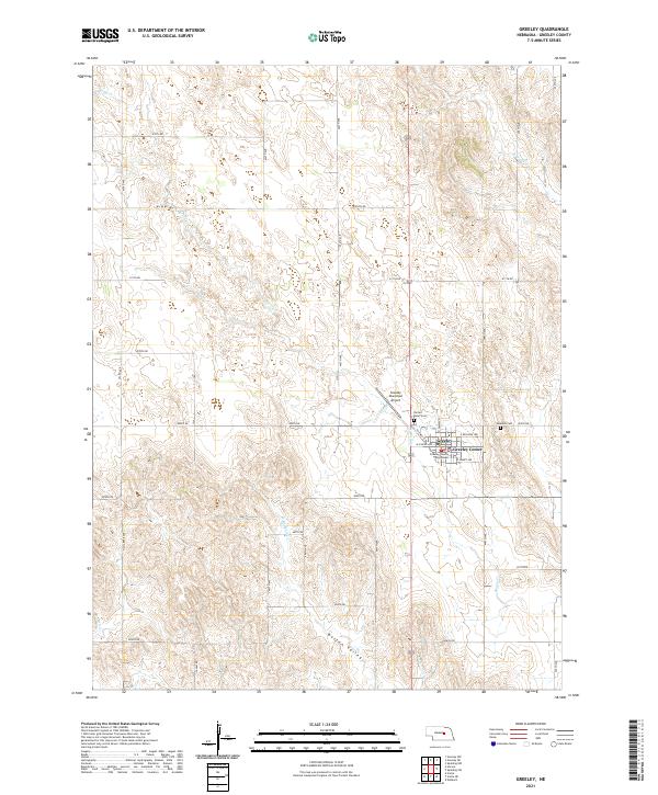
2021 Greeley
Greeley County, NE
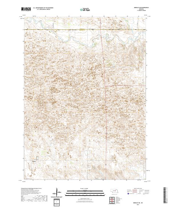
2021 Greeley NE
Greeley County, NE
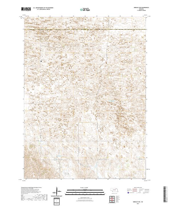
2021 Greeley NW
Greeley County, NE
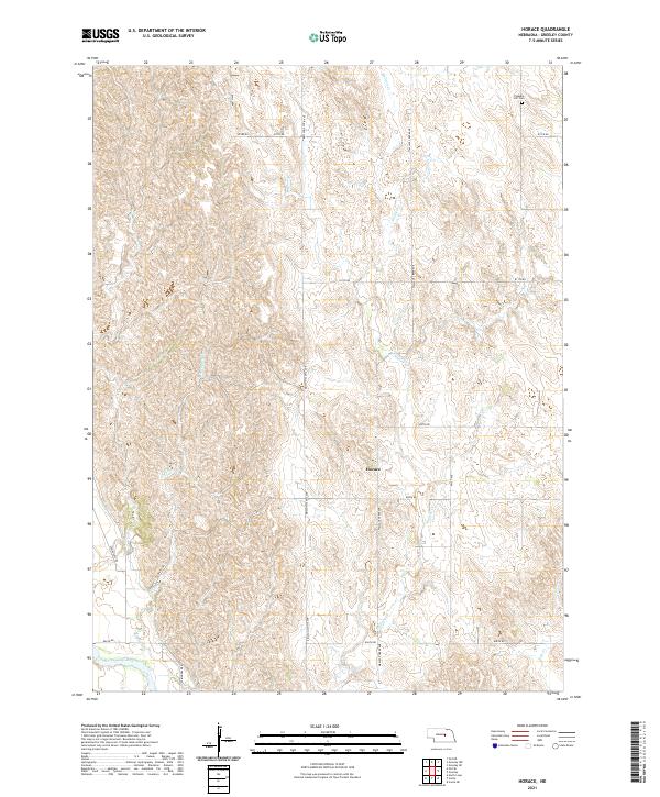
2021 Horace
Greeley County, NE
2021 Scotia NE
Greeley County, NE
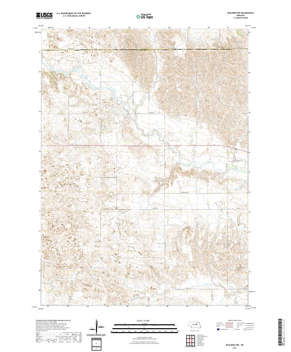
2021 Spalding NW
Greeley County, NE
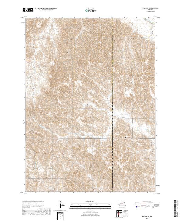
2021 Spalding SE
Greeley County, NE
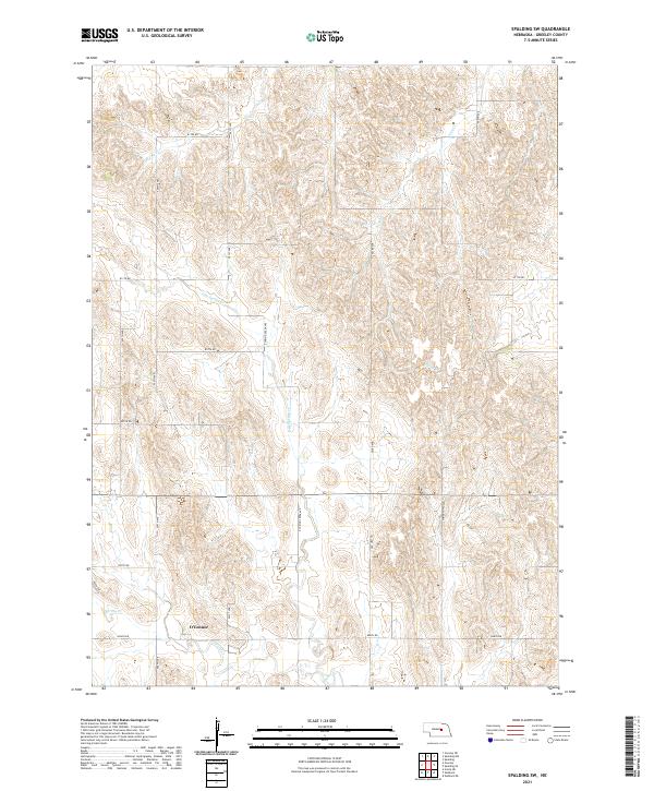
2021 Spalding SW
Greeley County, NE
2021 Wolbach NE
Greeley County, NE