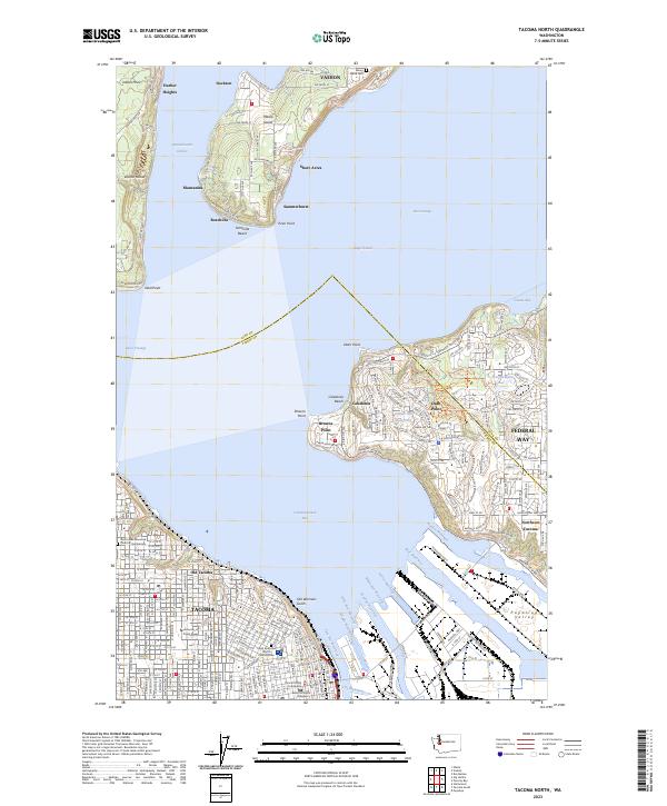
2023 Map of Tacoma North
USGS Topo · Published 2023About this map
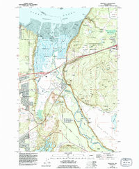
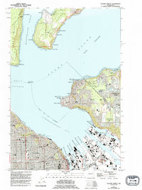
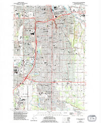
The industrialized waterfront of Commencement Bay meets the southern tip of the Vashon-Maury landmass in this detailed mapping of the South Sound. The city of Tacoma is defined by its intricate network of maritime infrastructure, including the Thea Foss Waterway, Blair Waterway, and Hylebos Waterway, which carve deep into the Puyallup Valley. On the high ground, the University of Puget Sound and the Pierce County Courthouse anchor the urban core, while Old Tacoma and Northeast Tacoma show the residential expansion along the coast. To the north, across the Dalco Passage, the rural character of Vashon Island is preserved in settlements like Dockton and Manzanita. This layout illustrates the distinct separation between the intensive industrial shipping lanes of the harbor and the isolated residential enclaves of the islands.
Find a feature on this map
92 named features on this map. Tap any name to fly to it.
Don’t see what you’re looking for? This feature index may not catch every label — zoom into the map to look around manually.
Map Details
Editions of this 2023 Tacoma North Map
This is the sole edition of this map. No revisions or reprints were ever made.
Historical Maps of Harbor Heights Through Time
58 maps found

1941 Tacoma South
Pierce County, WA

1941 Tanwax Lake
Pierce County, WA

1944 Ohop Valley
Pierce County, WA

1944 Tacoma South
Pierce County, WA

1948 Nisqually
Pierce County, WA
1949 Ohop Valley
Pierce County, WA

1949 Tacoma North
Pierce County, WA
1959 Harts Lake
Pierce County, WA
1959 Mc Neil Island
Pierce County, WA
1959 Nisqually
Pierce County, WA

1959 Ohop Valley
Pierce County, WA
1959 Tanwax Lake
Pierce County, WA
1961 Tacoma North
Pierce County, WA

1961 Tacoma South
Pierce County, WA
1961 Tacoma South
Pierce County, WA
1971 Chinook Pass
Pierce County, WA
1971 Golden Lakes
Pierce County, WA

1971 Mount Wow
Pierce County, WA
1971 Mowich Lake
Pierce County, WA
1971 Mt Rainier East
Pierce County, WA
1971 Mt Rainier West
Pierce County, WA

1971 Sunrise
Pierce County, WA
1971 White River Park
Pierce County, WA

1986 Bearhead Mtn
Pierce County, WA
1986 Clear West Peak
Pierce County, WA
1986 Old Baldy Mtn.
Pierce County, WA

1986 Sun Top
Pierce County, WA
1987 Lake Kapowsin
Pierce County, WA
1987 Le Dout Creek
Pierce County, WA

1989 Noble Knob
Pierce County, WA
1990 Harts Lake
Pierce County, WA

1990 Tanwax Lake
Pierce County, WA

1997 Mc Neil Island
Pierce County, WA

1997 Nisqually
Pierce County, WA

1997 Tacoma North
Pierce County, WA

1997 Tacoma South
Pierce County, WA
2000 Mount Wow
Pierce County, WA
2023 Bearhead Mountain
Pierce County, WA

2023 Chinook Pass
Pierce County, WA
2023 Clear West Peak
Pierce County, WA
2023 Golden Lakes
Pierce County, WA
2023 Harts Lake
Pierce County, WA
2023 Lake Kapowsin
Pierce County, WA
2023 Le Dout Creek
Pierce County, WA
2023 McNeil Island
Pierce County, WA
2023 Mount Rainier East
Pierce County, WA
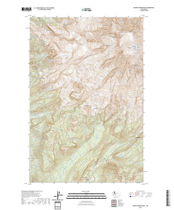
2023 Mount Rainier West
Pierce County, WA
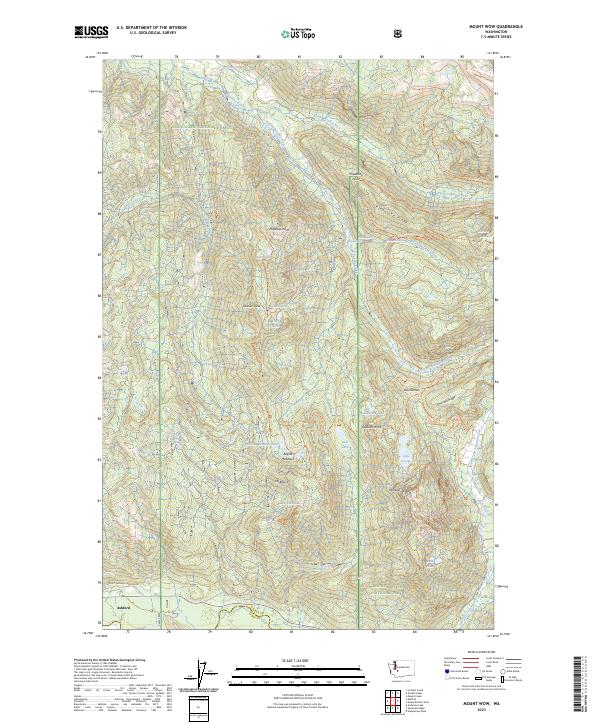
2023 Mount Wow
Pierce County, WA
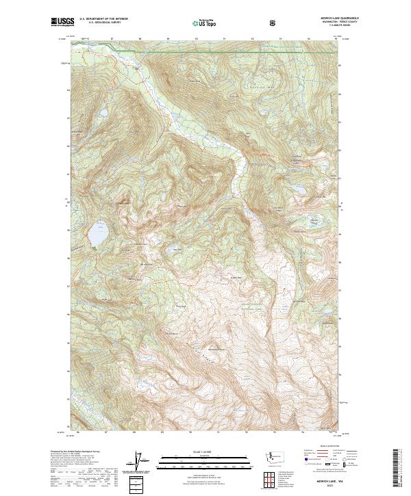
2023 Mowich Lake
Pierce County, WA
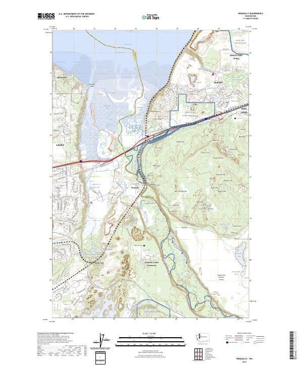
2023 Nisqually
Pierce County, WA
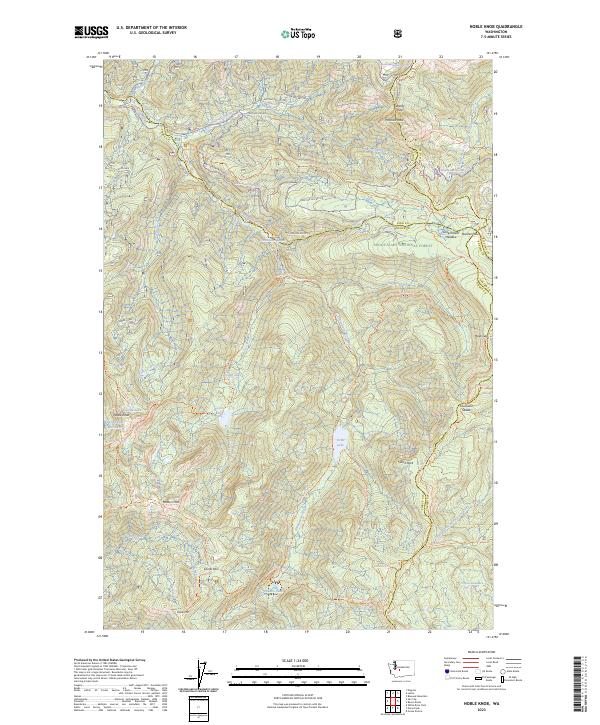
2023 Noble Knob
Pierce County, WA
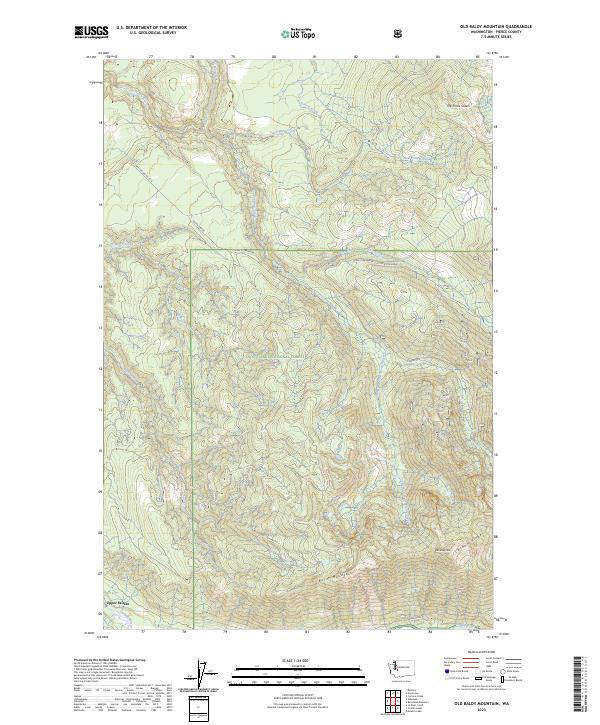
2023 Old Baldy Mountain
Pierce County, WA
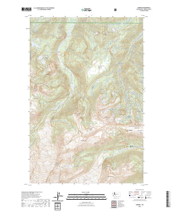
2023 Sunrise
Pierce County, WA
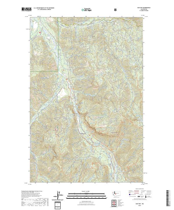
2023 Sun Top
Pierce County, WA
2023 Tacoma North
Pierce County, WA
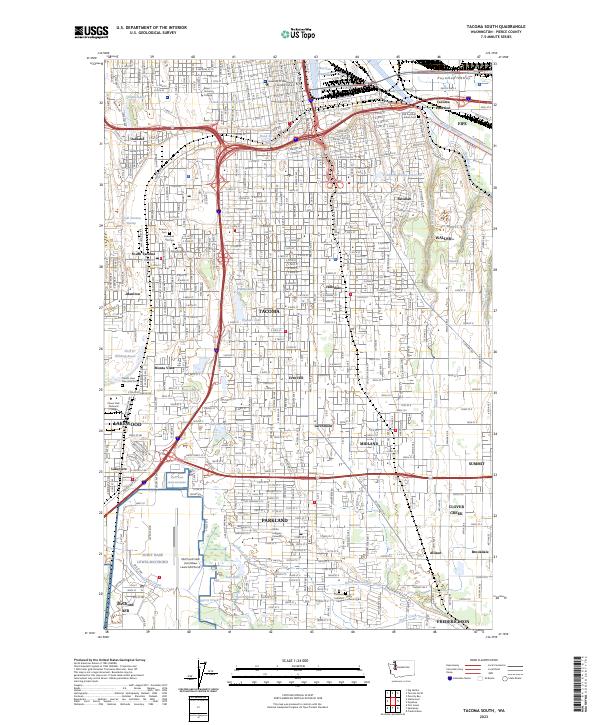
2023 Tacoma South
Pierce County, WA
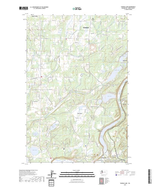
2023 Tanwax Lake
Pierce County, WA
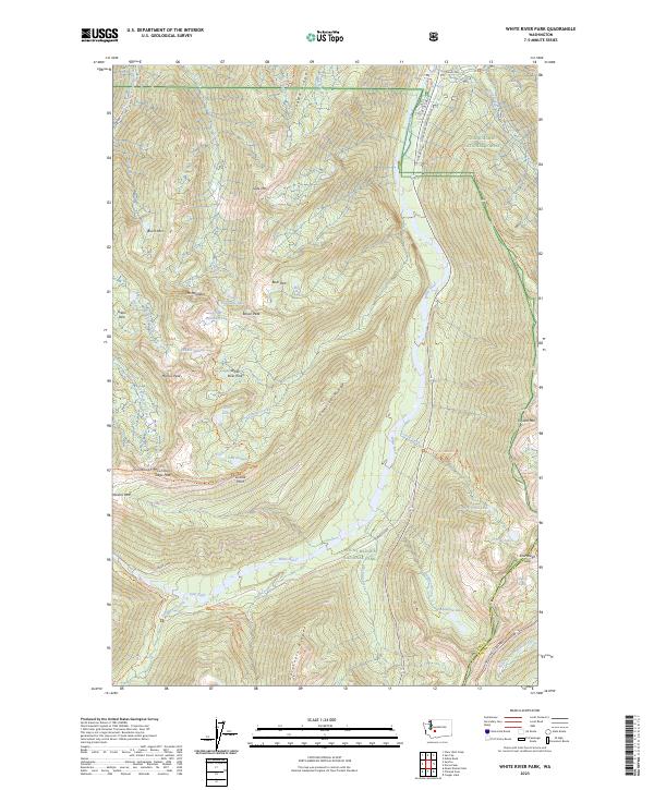
2023 White River Park
Pierce County, WA