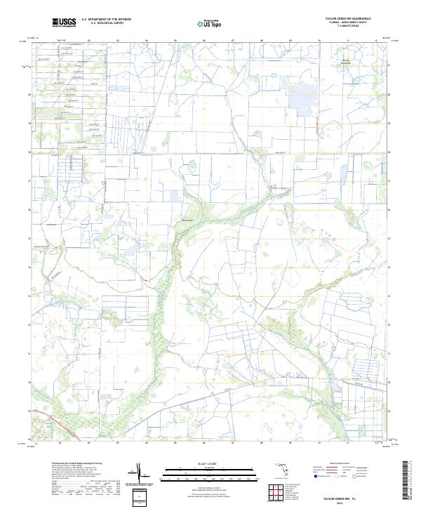
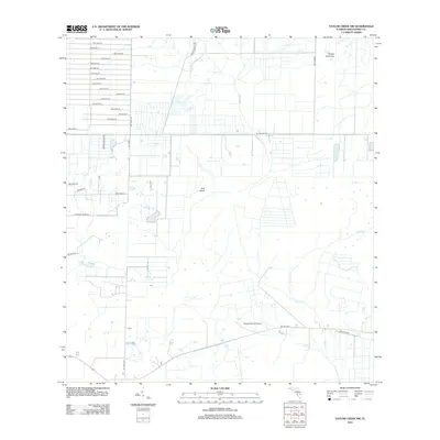
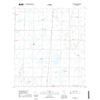
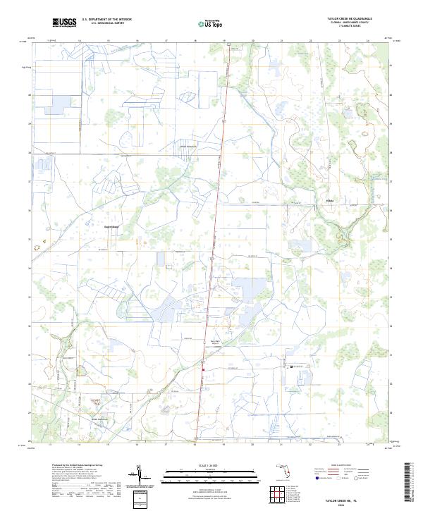
2024 Map of Taylor Creek NW
USGS Topo · Published 2024About this map
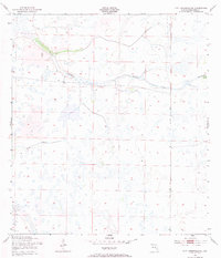
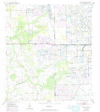
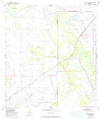
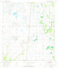
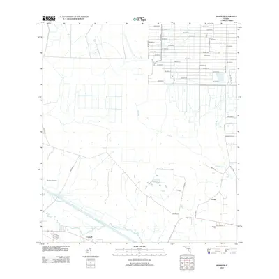
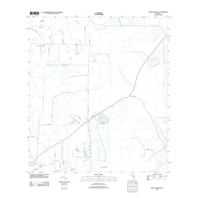
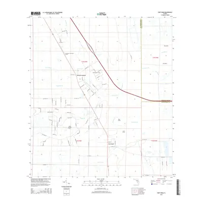
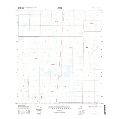
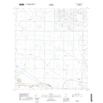
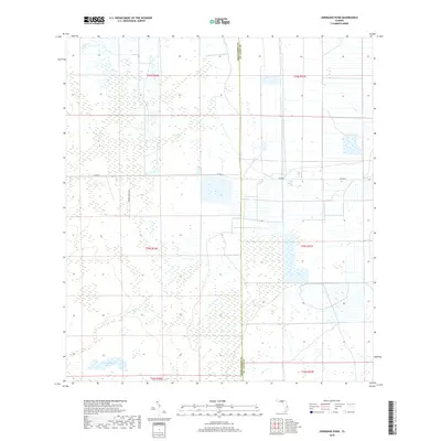
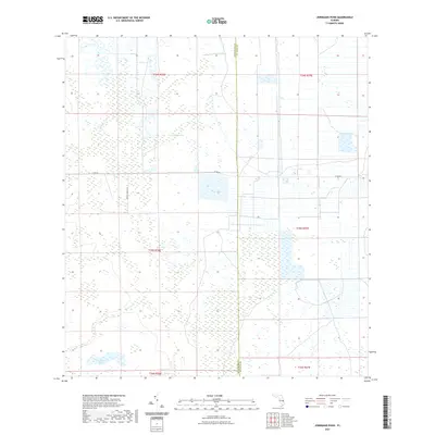
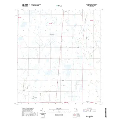
Cypress Slough and Fish Slough dominate this section of Okeechobee County, illustrating the intricate drainage patterns of south-central Florida. The landscape is a network of sloughs and hammocks, where slight variations in elevation create distinct ecological zones like Dinner Hammock and Dad Island. While much of the area is defined by these natural watercourses, a rigid grid of rural roads, including NW 240th ST and NW 144th Ave, indicates the late-century transition toward organized agricultural and ranching plots. The southern reaches of the map show the headwaters of Taylor Creek and the meandering path of Chandler Slough, features vital to the regional watershed. Local land use is further anchored by named thoroughfares such as Sherman Ranch Rd and Potter Rd, which provide access to the dispersed homesteads and ranch lands characteristic of the Florida interior.
Find a feature on this map
46 named features on this map. Tap any name to fly to it.
Don’t see what you’re looking for? This feature index may not catch every label — zoom into the map to look around manually.
Map Details
Editions of this 2024 Taylor Creek NW Map
This is the sole edition of this map. No revisions or reprints were ever made.
Historical Maps of Okeechobee County Through Time
72 maps found
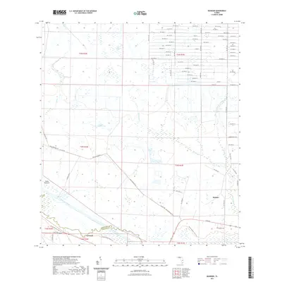
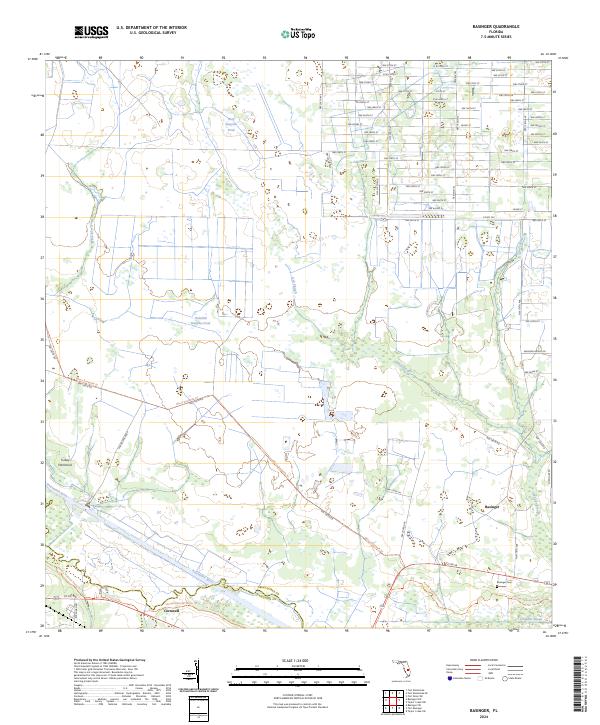
1953 Basinger
Okeechobee County, FL
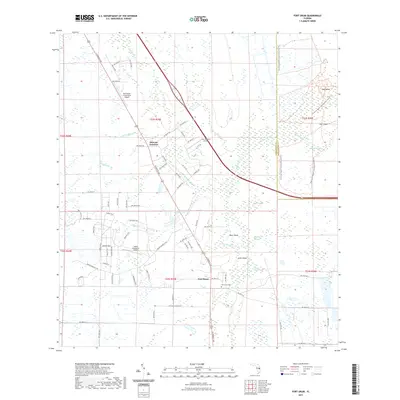
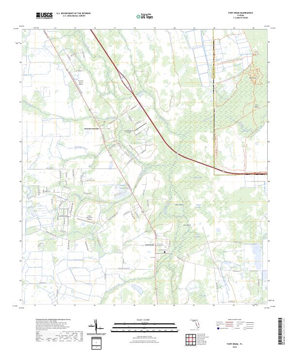
1953 Fort Drum
Okeechobee County, FL
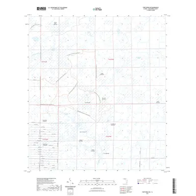
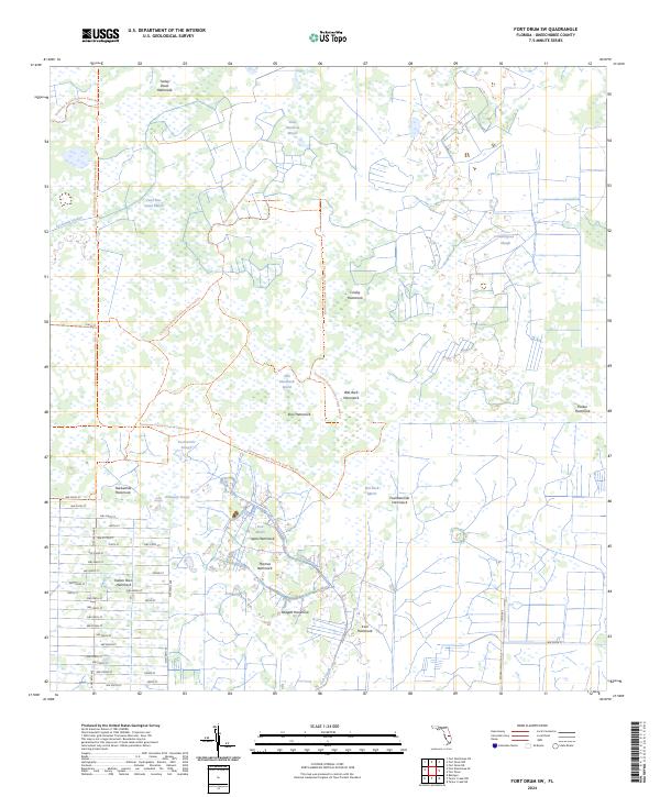
1953 Fort Drum SW
Okeechobee County, FL
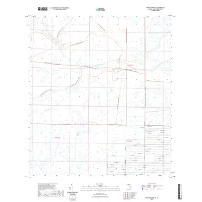
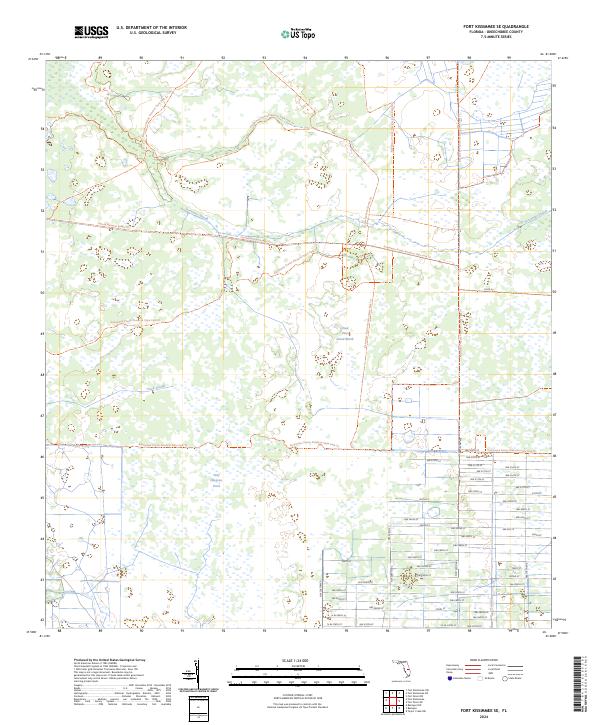
1953 Fort Kissimmee SE
Okeechobee County, FL
1953 Jernigans Pond
Okeechobee County, FL
1953 Jones Hammock
Okeechobee County, FL
1953 Marcy
Okeechobee County, FL
1953 Taylor Creek NE
Okeechobee County, FL
1953 Taylor Creek NW
Okeechobee County, FL
1953 Taylor Creek SE
Okeechobee County, FL
1953 Taylor Creek SW
Okeechobee County, FL

1971 Okeechobee SE
Okeechobee County, FL
2012 Basinger
Okeechobee County, FL

2012 Fort Drum
Okeechobee County, FL
2012 Fort Drum SW
Okeechobee County, FL
2012 Fort Kissimmee SE
Okeechobee County, FL
2012 Jernigans Pond
Okeechobee County, FL
2012 Jones Hammock
Okeechobee County, FL
2012 Marcy
Okeechobee County, FL
2012 Okeechobee SE
Okeechobee County, FL
2012 Taylor Creek NE
Okeechobee County, FL
2012 Taylor Creek NW
Okeechobee County, FL
2012 Taylor Creek SE
Okeechobee County, FL
2012 Taylor Creek SW
Okeechobee County, FL
2015 Basinger
Okeechobee County, FL
2015 Fort Drum
Okeechobee County, FL
2015 Fort Drum SW
Okeechobee County, FL
2015 Fort Kissimmee SE
Okeechobee County, FL

2015 Jernigans Pond
Okeechobee County, FL
2015 Jones Hammock
Okeechobee County, FL

2015 Marcy
Okeechobee County, FL

2015 Okeechobee SE
Okeechobee County, FL
2015 Taylor Creek NE
Okeechobee County, FL
2015 Taylor Creek NW
Okeechobee County, FL
2015 Taylor Creek SE
Okeechobee County, FL
2015 Taylor Creek SW
Okeechobee County, FL
2018 Basinger
Okeechobee County, FL
2018 Fort Drum
Okeechobee County, FL
2018 Fort Drum SW
Okeechobee County, FL
2018 Fort Kissimmee SE
Okeechobee County, FL
2018 Jernigans Pond
Okeechobee County, FL
2018 Jones Hammock
Okeechobee County, FL
2018 Marcy
Okeechobee County, FL
2018 Okeechobee SE
Okeechobee County, FL
2018 Taylor Creek NE
Okeechobee County, FL
2018 Taylor Creek NW
Okeechobee County, FL
2018 Taylor Creek SE
Okeechobee County, FL
2018 Taylor Creek SW
Okeechobee County, FL
2021 Basinger
Okeechobee County, FL
2021 Fort Drum
Okeechobee County, FL
2021 Fort Drum SW
Okeechobee County, FL
2021 Fort Kissimmee SE
Okeechobee County, FL
2021 Jernigans Pond
Okeechobee County, FL
2021 Jones Hammock
Okeechobee County, FL
2021 Marcy
Okeechobee County, FL
2021 Okeechobee SE
Okeechobee County, FL
2021 Taylor Creek NE
Okeechobee County, FL
2021 Taylor Creek NW
Okeechobee County, FL
2021 Taylor Creek SE
Okeechobee County, FL
2021 Taylor Creek SW
Okeechobee County, FL
2024 Basinger
Okeechobee County, FL
2024 Fort Drum
Okeechobee County, FL
2024 Fort Drum SW
Okeechobee County, FL
2024 Fort Kissimmee SE
Okeechobee County, FL
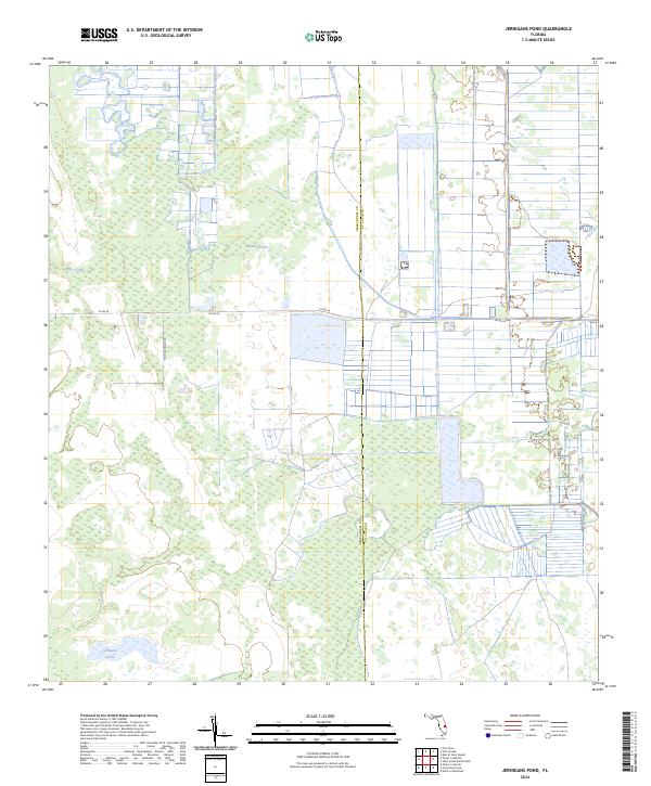
2024 Jernigans Pond
Okeechobee County, FL
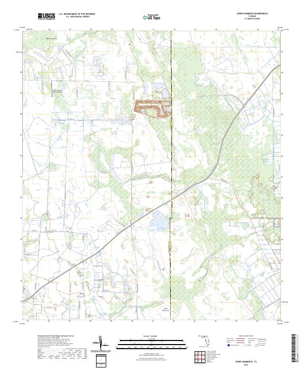
2024 Jones Hammock
Okeechobee County, FL
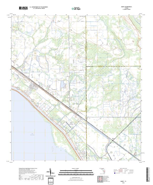
2024 Marcy
Okeechobee County, FL
2024 Okeechobee SE
Okeechobee County, FL
2024 Taylor Creek NE
Okeechobee County, FL
2024 Taylor Creek NW
Okeechobee County, FL
2024 Taylor Creek SE
Okeechobee County, FL
2024 Taylor Creek SW
Okeechobee County, FL