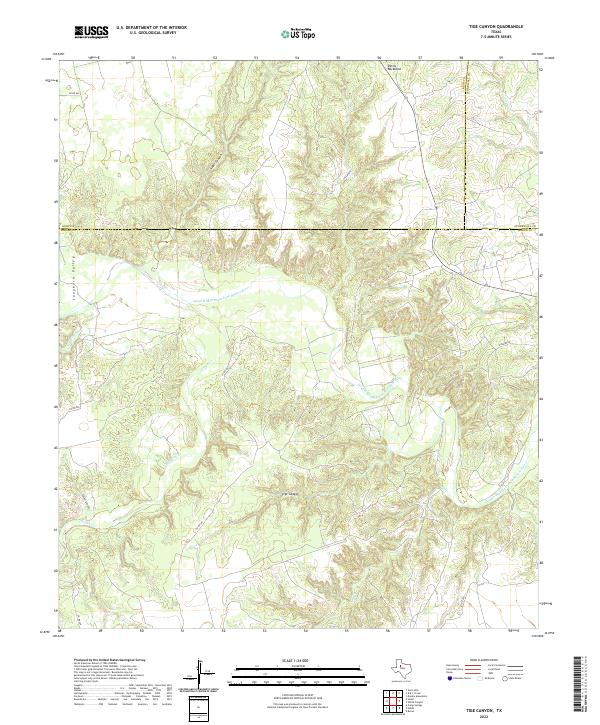
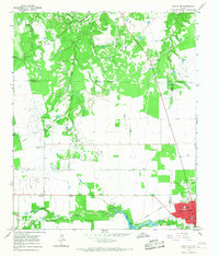
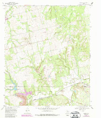
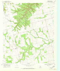
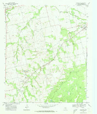
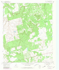
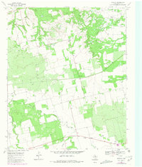
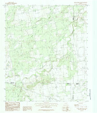
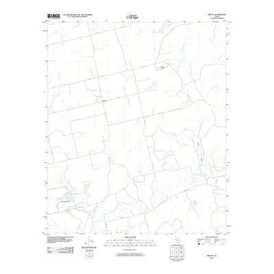
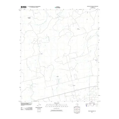
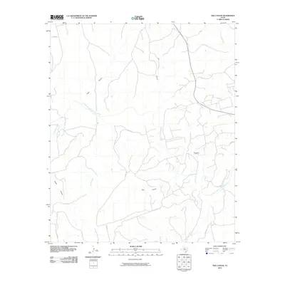
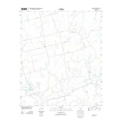
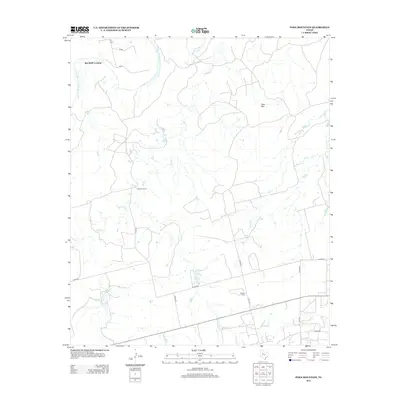
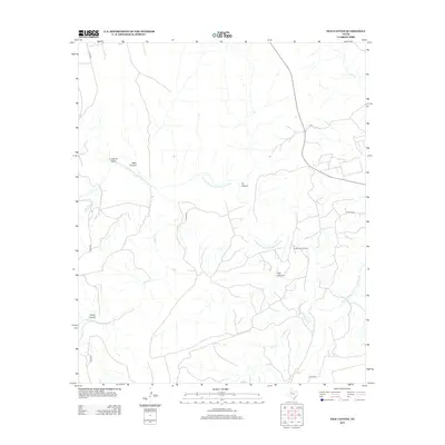
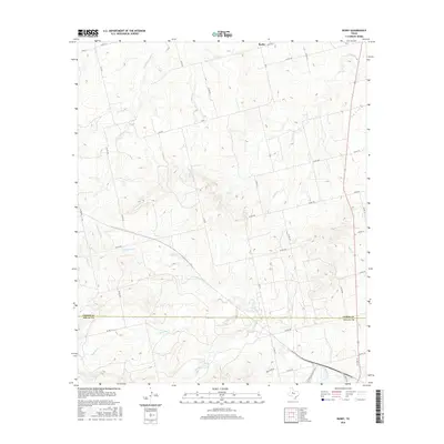
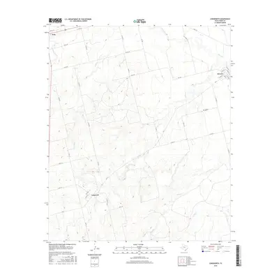
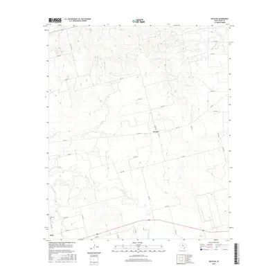
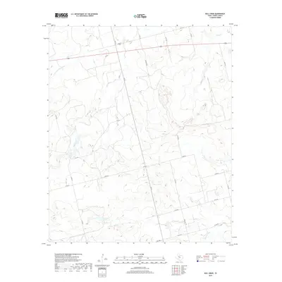
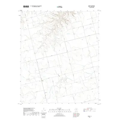
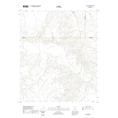
2022 Map of Tige Canyon
USGS Topo · Published 2022About this map
The Double Mountain Fork Brazos River winds through this West Texas landscape, cutting a path through the tri-county junction of Fisher, Kent, and Stonewall. The terrain is characterized by a series of significant drainage systems and landforms, including the eponymous Tige Canyon and the prominent ridge known as Devils Backbone. These natural features dictate the sparse modern infrastructure, where county roads like Co RD 346 and Co RD 440 navigate the breaks and valleys.
Find a feature on this map
20 named features on this map. Tap any name to fly to it.
Don’t see what you’re looking for? This feature index may not catch every label — zoom into the map to look around manually.
Map Details
Editions of this 2022 Tige Canyon Map
This is the sole edition of this map. No revisions or reprints were ever made.
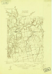
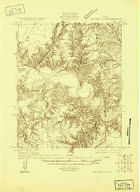
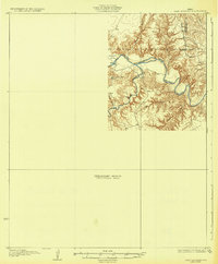
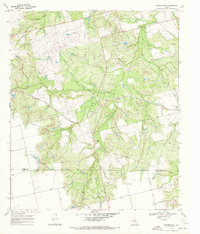
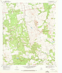
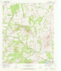
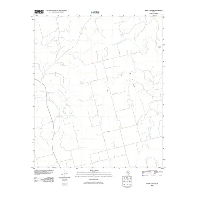
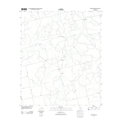
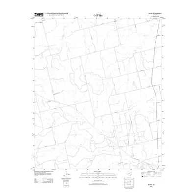
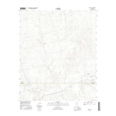
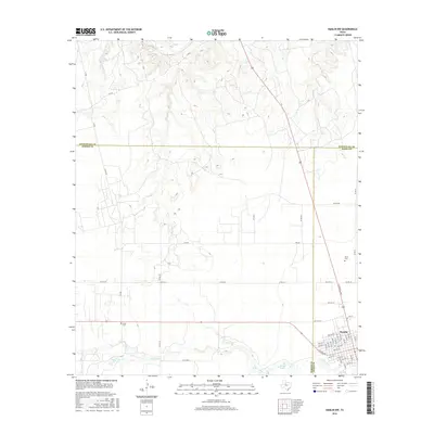
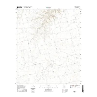
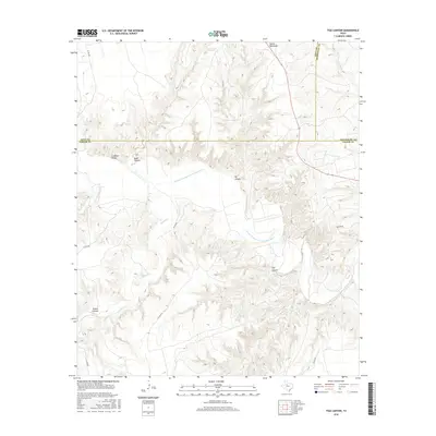
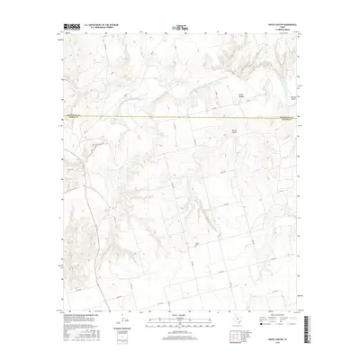
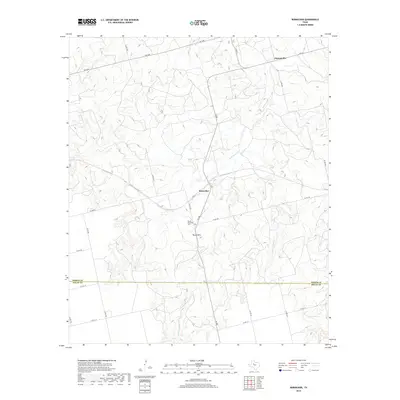
Historical Maps of Kent County Through Time
81 maps found
1926 Roby 2-b
Fisher County, TX
1926 Snyder 1-a
Fisher County, TX
1932 Camp Springs
Fisher County, TX
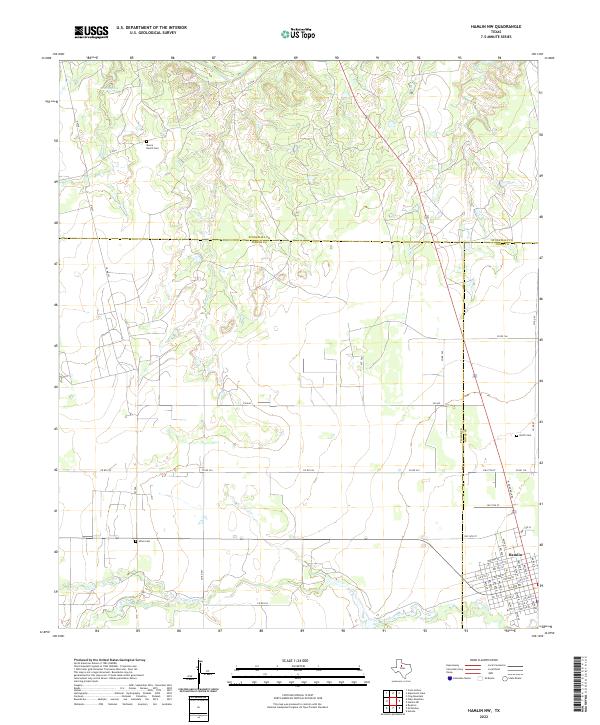
1965 Hamlin NW
Fisher County, TX
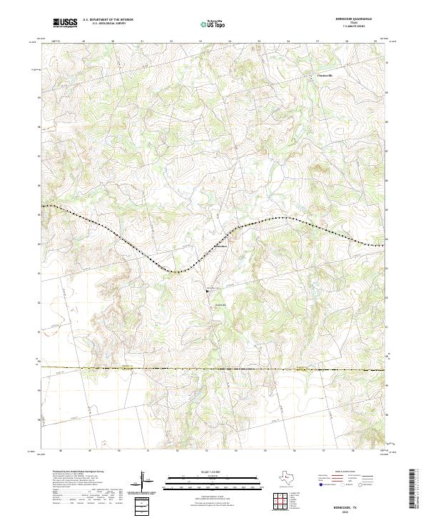
1969 Bernecker
Fisher County, TX
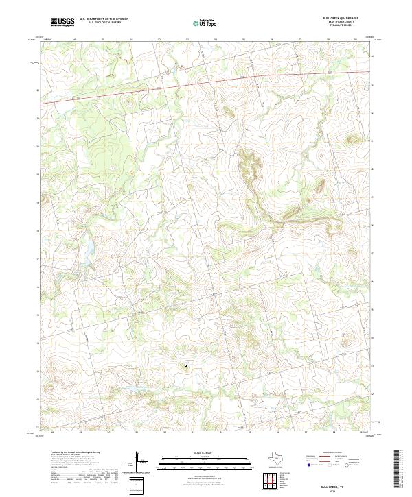
1969 Bull Creek
Fisher County, TX
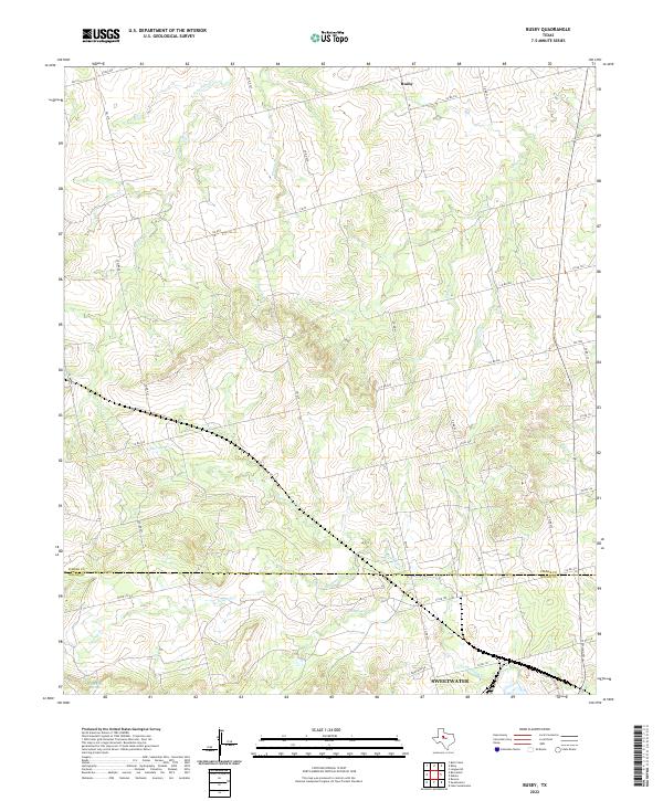
1969 Busby
Fisher County, TX
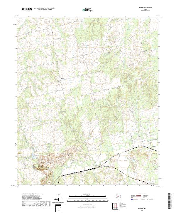
1969 Eskota
Fisher County, TX
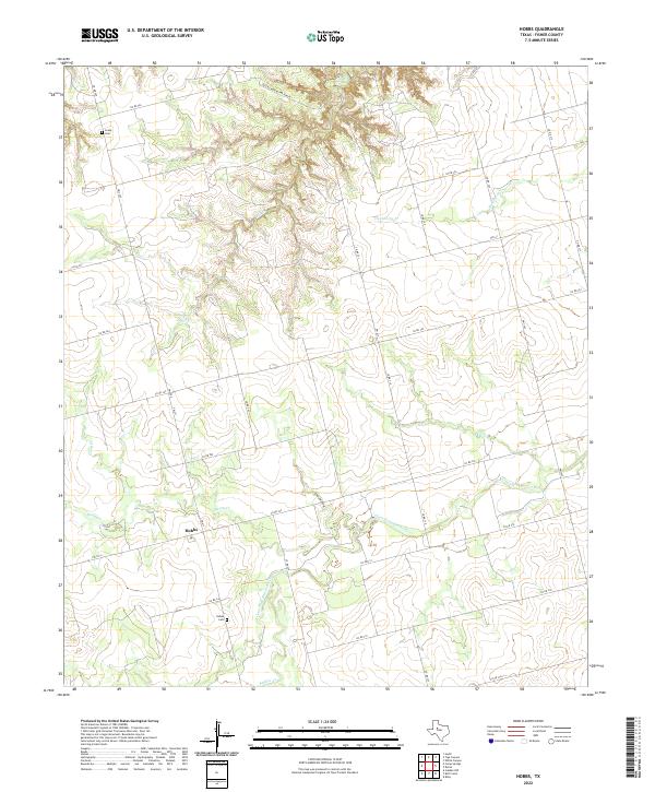
1969 Hobbs
Fisher County, TX
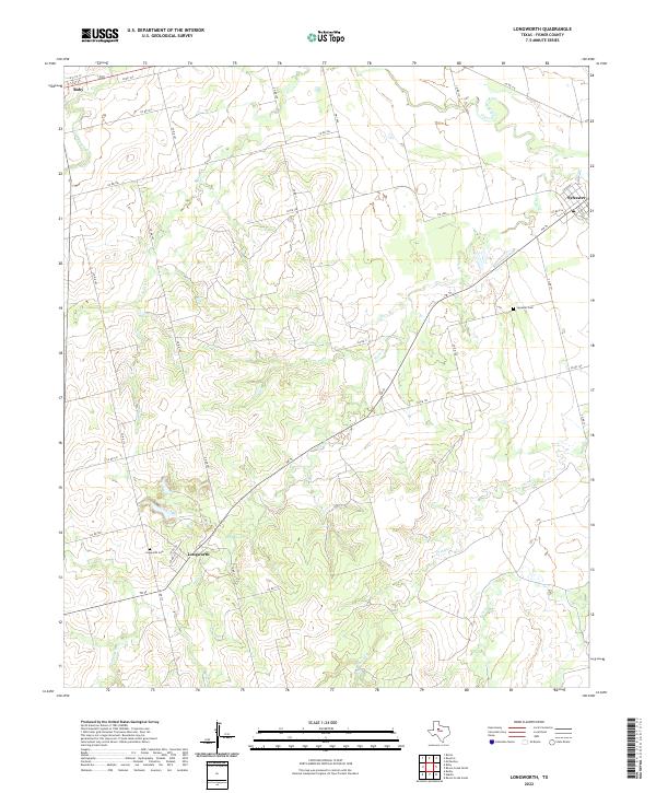
1969 Longworth
Fisher County, TX
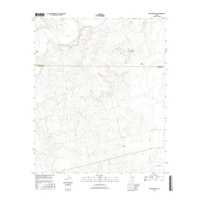
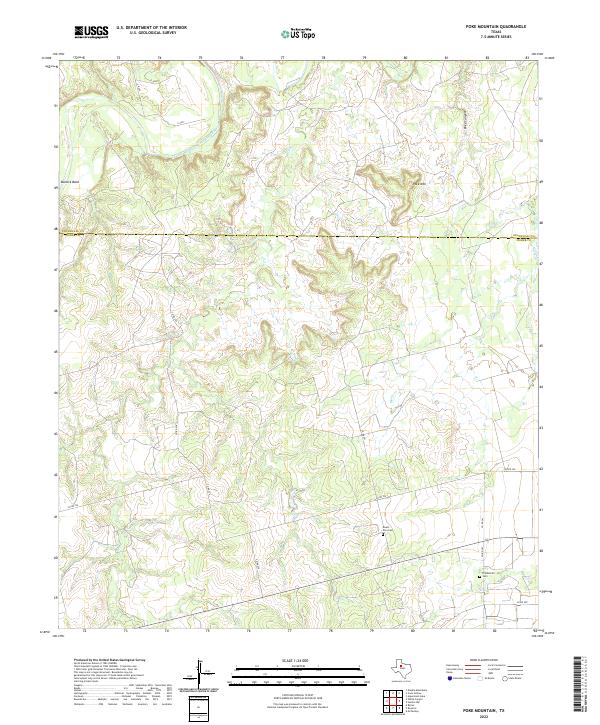
1969 Poke Mountain
Fisher County, TX
1969 Royston
Fisher County, TX
1969 Tige Canyon
Fisher County, TX
1969 White Canyon
Fisher County, TX
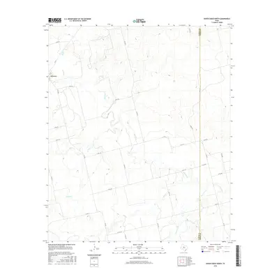
1984 Raven Creek North
Fisher County, TX
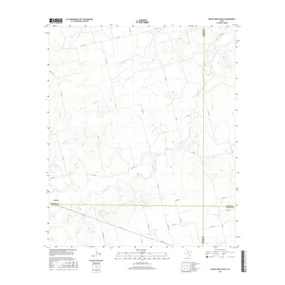
1984 Raven Creek South
Fisher County, TX
2010 Bernecker
Fisher County, TX
2010 Bull Creek
Fisher County, TX
2010 Busby
Fisher County, TX
2010 Eskota
Fisher County, TX
2010 Hamlin NW
Fisher County, TX
2010 Hobbs
Fisher County, TX
2010 Longworth
Fisher County, TX
2010 Poke Mountain
Fisher County, TX
2010 Raven Creek North
Fisher County, TX
2010 Raven Creek South
Fisher County, TX
2010 Royston
Fisher County, TX
2010 Tige Canyon
Fisher County, TX
2010 White Canyon
Fisher County, TX
2012 Bernecker
Fisher County, TX

2012 Bull Creek
Fisher County, TX
2012 Busby
Fisher County, TX
2012 Eskota
Fisher County, TX
2012 Hamlin NW
Fisher County, TX
2012 Hobbs
Fisher County, TX
2012 Longworth
Fisher County, TX
2012 Poke Mountain
Fisher County, TX
2012 Raven Creek North
Fisher County, TX
2012 Raven Creek South
Fisher County, TX
2012 Royston
Fisher County, TX
2012 Tige Canyon
Fisher County, TX
2012 White Canyon
Fisher County, TX
2016 Bernecker
Fisher County, TX
2016 Bull Creek
Fisher County, TX
2016 Busby
Fisher County, TX
2016 Eskota
Fisher County, TX
2016 Hamlin NW
Fisher County, TX
2016 Hobbs
Fisher County, TX
2016 Longworth
Fisher County, TX
2016 Poke Mountain
Fisher County, TX
2016 Raven Creek North
Fisher County, TX
2016 Raven Creek South
Fisher County, TX
2016 Royston
Fisher County, TX
2016 Tige Canyon
Fisher County, TX
2016 White Canyon
Fisher County, TX
2019 Bernecker
Fisher County, TX
2019 Bull Creek
Fisher County, TX
2019 Busby
Fisher County, TX
2019 Eskota
Fisher County, TX
2019 Hamlin NW
Fisher County, TX
2019 Hobbs
Fisher County, TX
2019 Longworth
Fisher County, TX
2019 Poke Mountain
Fisher County, TX
2019 Raven Creek North
Fisher County, TX
2019 Raven Creek South
Fisher County, TX
2019 Royston
Fisher County, TX
2019 Tige Canyon
Fisher County, TX
2019 White Canyon
Fisher County, TX
2022 Bernecker
Fisher County, TX
2022 Bull Creek
Fisher County, TX
2022 Busby
Fisher County, TX
2022 Eskota
Fisher County, TX
2022 Hamlin NW
Fisher County, TX
2022 Hobbs
Fisher County, TX
2022 Longworth
Fisher County, TX
2022 Poke Mountain
Fisher County, TX
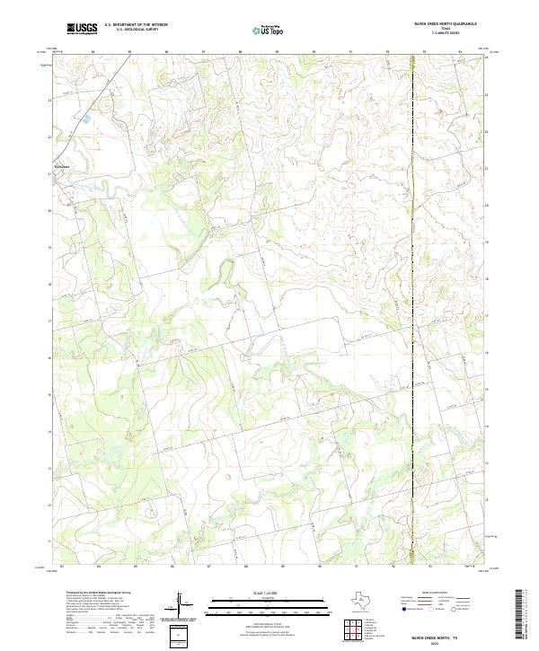
2022 Raven Creek North
Fisher County, TX
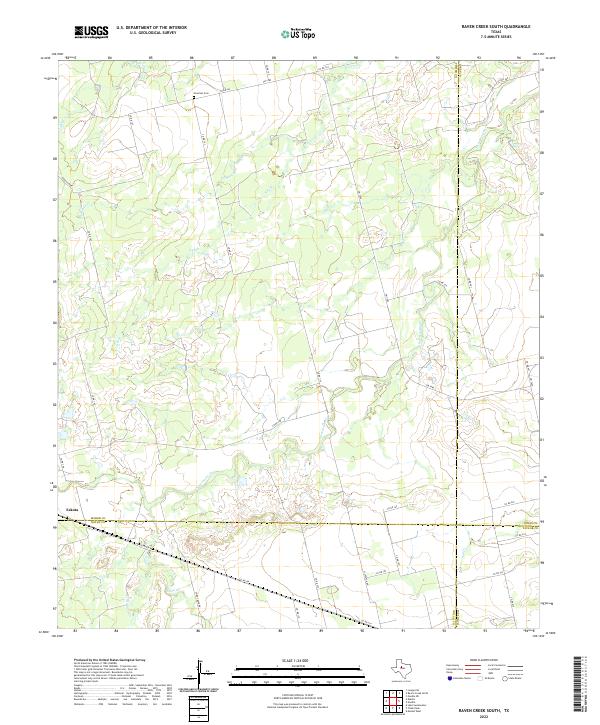
2022 Raven Creek South
Fisher County, TX
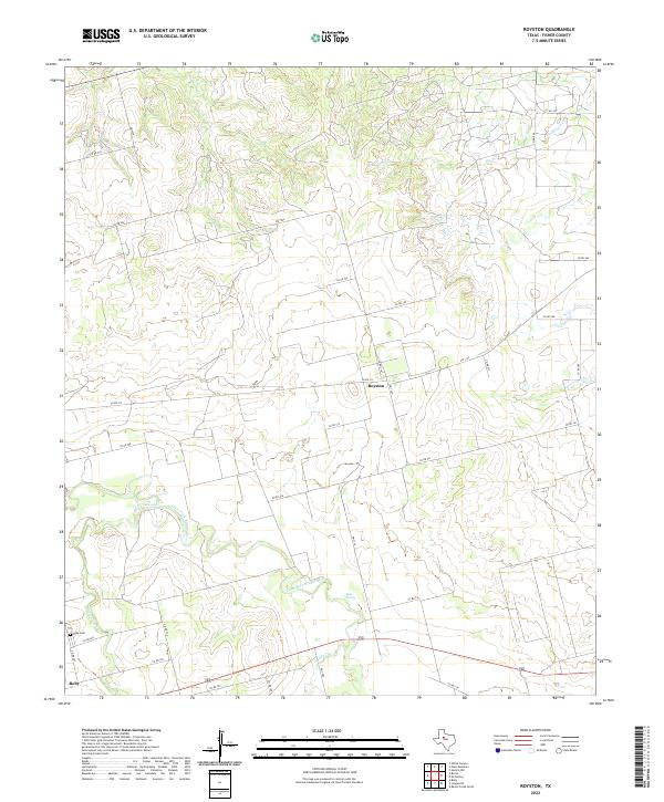
2022 Royston
Fisher County, TX
2022 Tige Canyon
Fisher County, TX
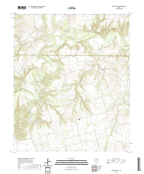
2022 White Canyon
Fisher County, TX