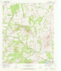
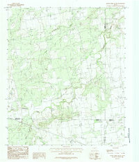
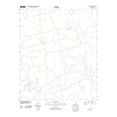
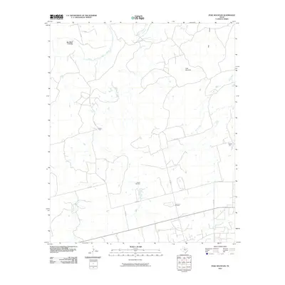
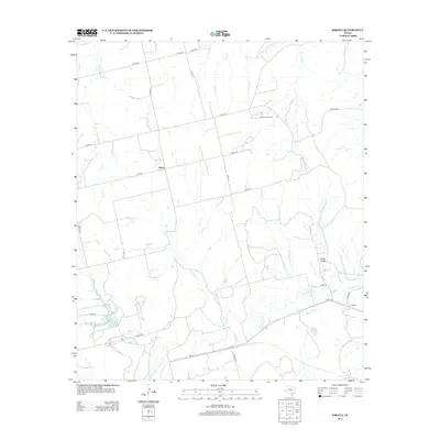
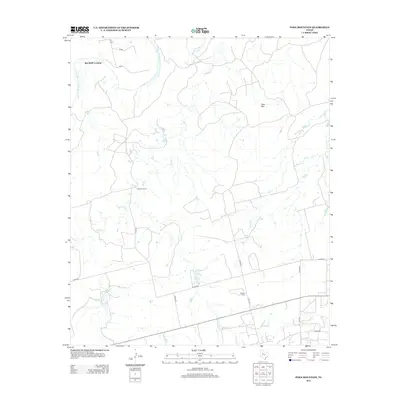
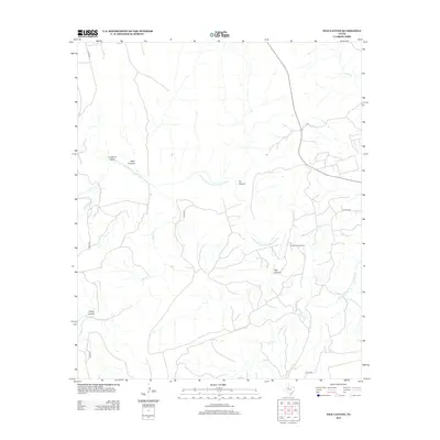
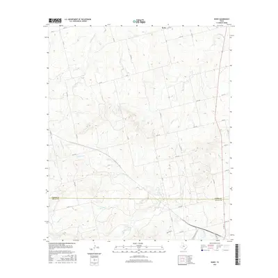
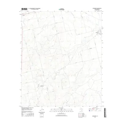
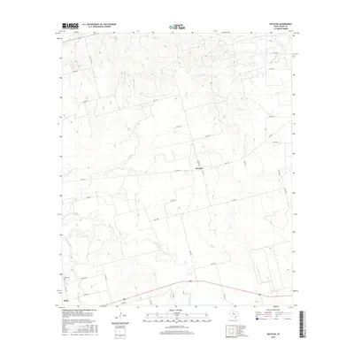
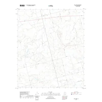
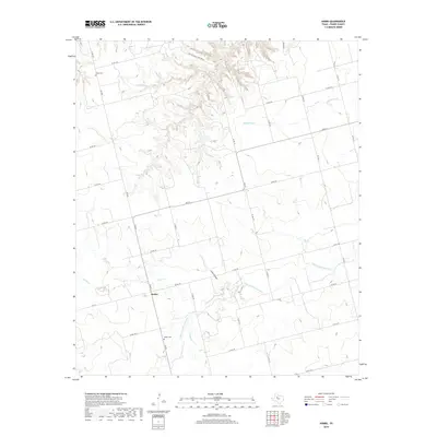
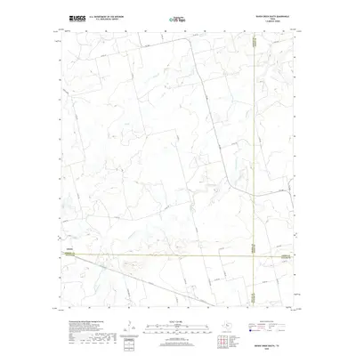
1969 Map of Royston
USGS Topo · Published 1981About this map
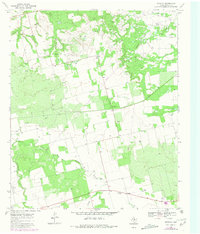
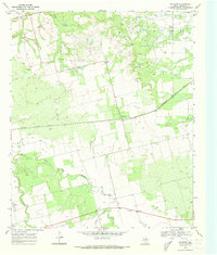
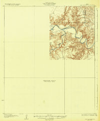
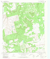
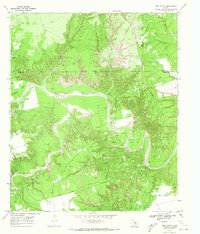
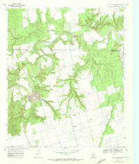
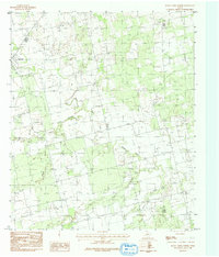
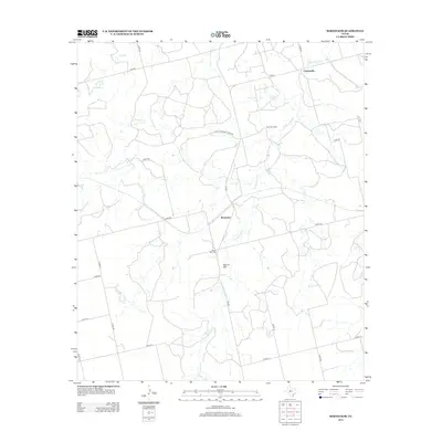
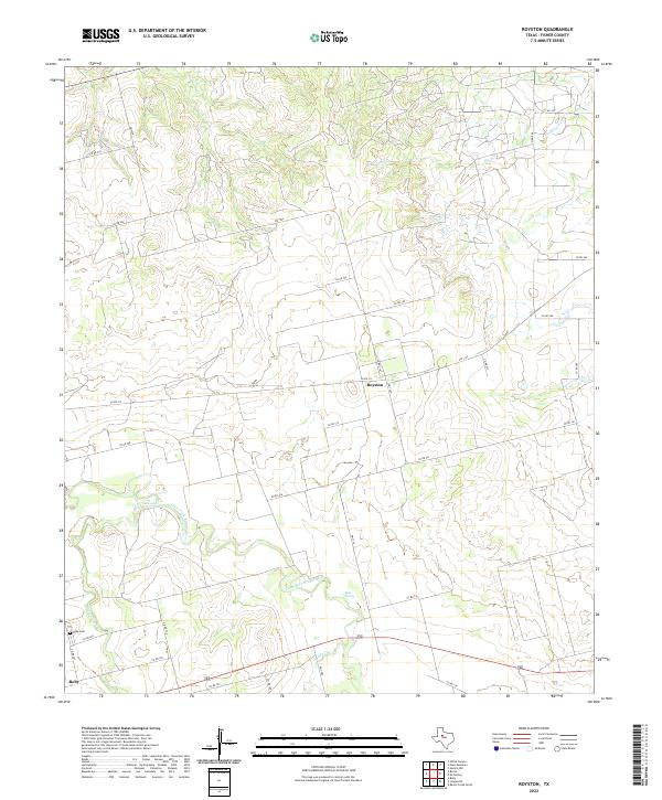
The community of Royston serves as the focal point for this section of West Texas, appearing as a modest junction during a period of significant regional energy development. Surveyed in the late 1960s with updates reaching into the early 1980s, the landscape is defined by the heavy presence of oil fields, where numerous wells and pipelines crisscross the terrain. This industrial infrastructure is superimposed over an older agricultural and ranching grid, indicated by the fine red dashed lines that delineate selected fence lines throughout the quadrangle. The intersection of these two economies—traditional ranching and modern petroleum extraction—characterizes the area's development during this era. Rural life remains anchored by scattered roadside features and local landmarks that provide essential orientation for researchers tracing the mid-century evolution of Fisher County.
Find a feature on this map
1 named feature on this map. Tap any name to fly to it.
Don’t see what you’re looking for? This feature index may not catch every label — zoom into the map to look around manually.
Map Details
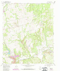
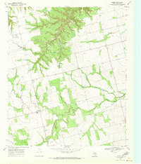
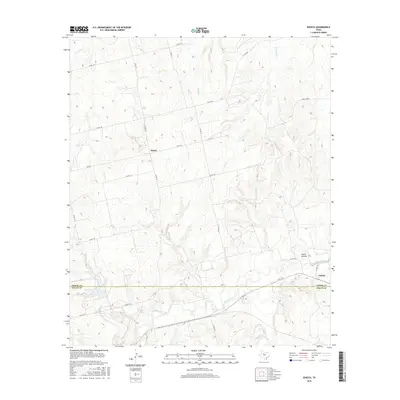
Editions of this 1969 Royston Map
2 editions found
Historical Maps of Roby Through Time
81 maps found
1926 Roby 2-b
Fisher County, TX
1926 Snyder 1-a
Fisher County, TX
1932 Camp Springs
Fisher County, TX
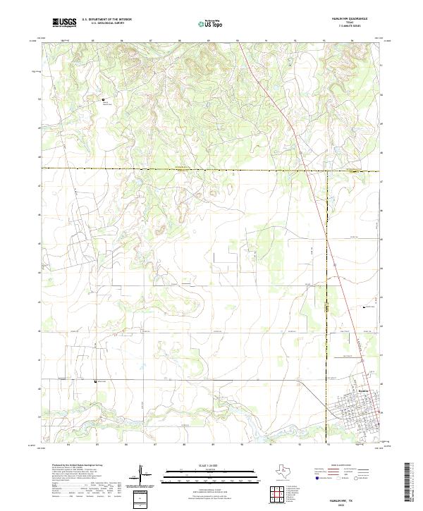
1965 Hamlin NW
Fisher County, TX
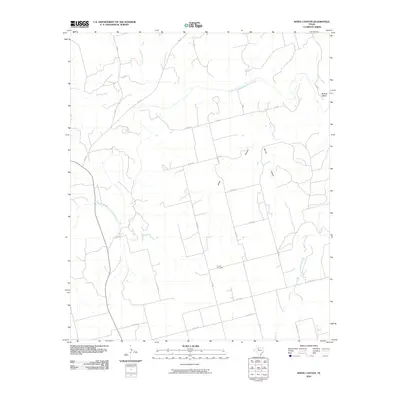
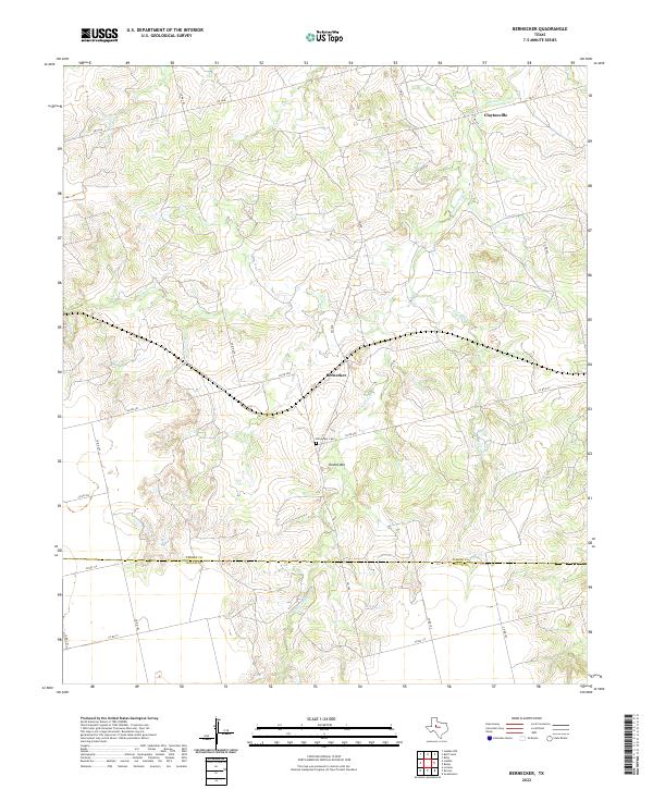
1969 Bernecker
Fisher County, TX
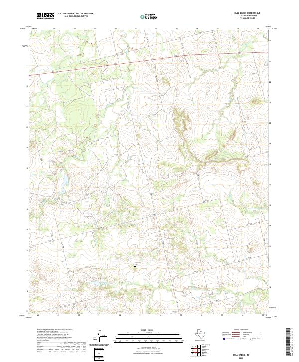
1969 Bull Creek
Fisher County, TX
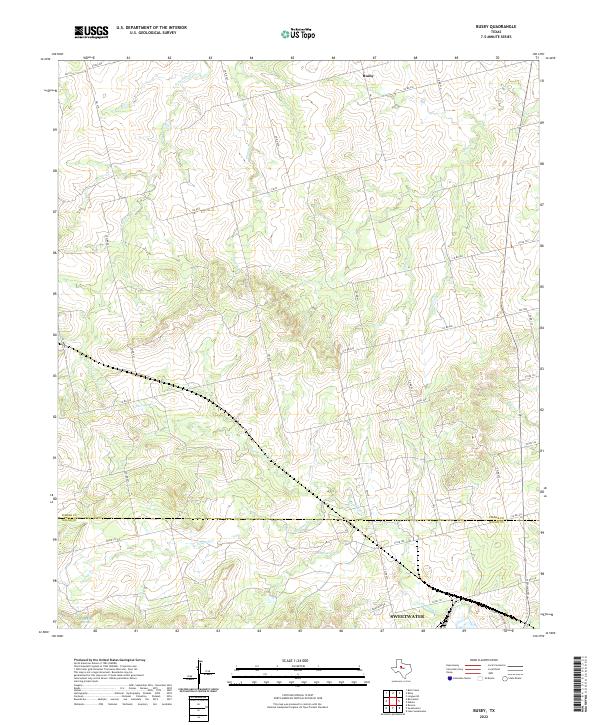
1969 Busby
Fisher County, TX
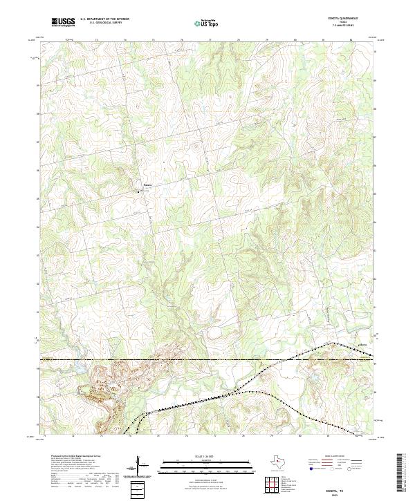
1969 Eskota
Fisher County, TX
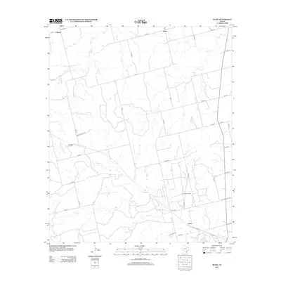
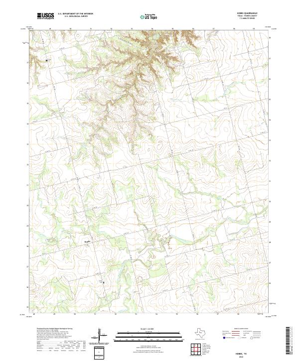
1969 Hobbs
Fisher County, TX
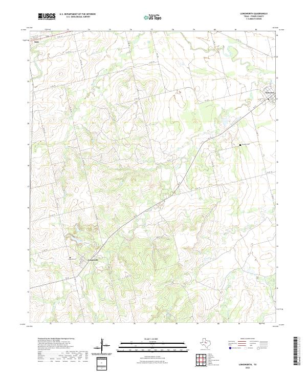
1969 Longworth
Fisher County, TX
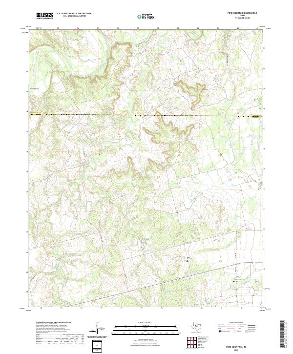
1969 Poke Mountain
Fisher County, TX
1969 Royston
Fisher County, TX
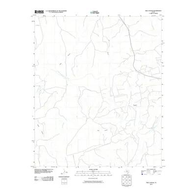
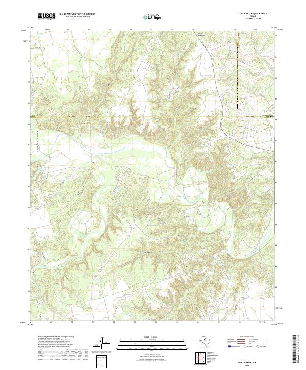
1969 Tige Canyon
Fisher County, TX
1969 White Canyon
Fisher County, TX
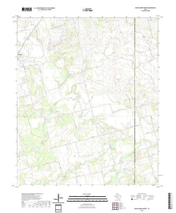
1984 Raven Creek North
Fisher County, TX
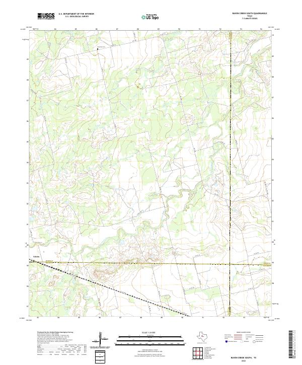
1984 Raven Creek South
Fisher County, TX
2010 Bernecker
Fisher County, TX
2010 Bull Creek
Fisher County, TX
2010 Busby
Fisher County, TX
2010 Eskota
Fisher County, TX
2010 Hamlin NW
Fisher County, TX
2010 Hobbs
Fisher County, TX
2010 Longworth
Fisher County, TX
2010 Poke Mountain
Fisher County, TX
2010 Raven Creek North
Fisher County, TX
2010 Raven Creek South
Fisher County, TX
2010 Royston
Fisher County, TX
2010 Tige Canyon
Fisher County, TX
2010 White Canyon
Fisher County, TX
2012 Bernecker
Fisher County, TX

2012 Bull Creek
Fisher County, TX
2012 Busby
Fisher County, TX
2012 Eskota
Fisher County, TX
2012 Hamlin NW
Fisher County, TX
2012 Hobbs
Fisher County, TX
2012 Longworth
Fisher County, TX
2012 Poke Mountain
Fisher County, TX
2012 Raven Creek North
Fisher County, TX
2012 Raven Creek South
Fisher County, TX
2012 Royston
Fisher County, TX
2012 Tige Canyon
Fisher County, TX
2012 White Canyon
Fisher County, TX
2016 Bernecker
Fisher County, TX
2016 Bull Creek
Fisher County, TX
2016 Busby
Fisher County, TX
2016 Eskota
Fisher County, TX
2016 Hamlin NW
Fisher County, TX
2016 Hobbs
Fisher County, TX
2016 Longworth
Fisher County, TX
2016 Poke Mountain
Fisher County, TX
2016 Raven Creek North
Fisher County, TX
2016 Raven Creek South
Fisher County, TX
2016 Royston
Fisher County, TX
2016 Tige Canyon
Fisher County, TX
2016 White Canyon
Fisher County, TX
2019 Bernecker
Fisher County, TX
2019 Bull Creek
Fisher County, TX
2019 Busby
Fisher County, TX
2019 Eskota
Fisher County, TX
2019 Hamlin NW
Fisher County, TX
2019 Hobbs
Fisher County, TX
2019 Longworth
Fisher County, TX
2019 Poke Mountain
Fisher County, TX
2019 Raven Creek North
Fisher County, TX
2019 Raven Creek South
Fisher County, TX
2019 Royston
Fisher County, TX
2019 Tige Canyon
Fisher County, TX
2019 White Canyon
Fisher County, TX
2022 Bernecker
Fisher County, TX
2022 Bull Creek
Fisher County, TX
2022 Busby
Fisher County, TX
2022 Eskota
Fisher County, TX
2022 Hamlin NW
Fisher County, TX
2022 Hobbs
Fisher County, TX
2022 Longworth
Fisher County, TX
2022 Poke Mountain
Fisher County, TX
2022 Raven Creek North
Fisher County, TX
2022 Raven Creek South
Fisher County, TX
2022 Royston
Fisher County, TX
2022 Tige Canyon
Fisher County, TX
2022 White Canyon
Fisher County, TX