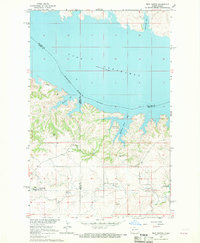
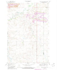
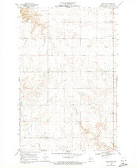
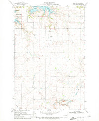
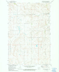
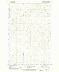
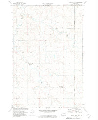
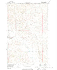
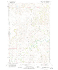
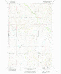
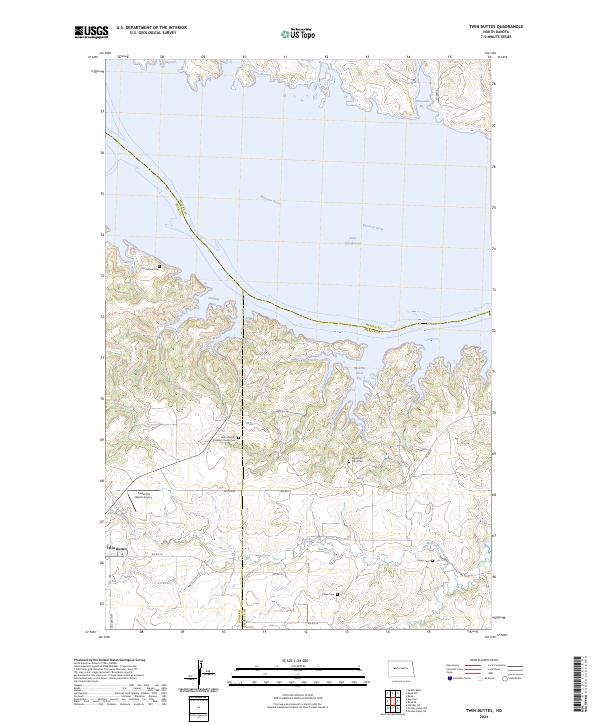
1967 Map of Twin Buttes
USGS Topo · Published 1969This historical map portrays the area of Twin Buttes in 1967, primarily covering Mercer County as well as portions of McLean County and Dunn County. Featuring a scale of 1:24000, this map provides a highly detailed snapshot of the terrain, roads, buildings, counties, and historical landmarks in the Twin Buttes region at the time. Published in 1969, it is the sole known edition of this map.
Find a feature on this map
23 named features on this map. Tap any name to fly to it.
Don’t see what you’re looking for? This feature index may not catch every label — zoom into the map to look around manually.
Map Details
Editions of this 1967 Twin Buttes Map
This is the sole edition of this map. No revisions or reprints were ever made.
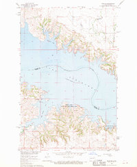
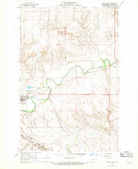
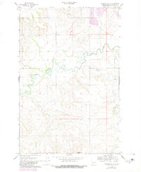
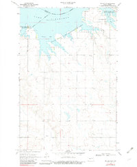
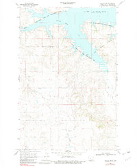
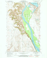
Historical Maps of Dunn County Through Time
34 maps found
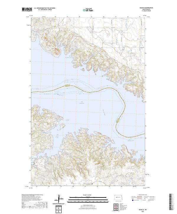
1967 Raub SE
Mercer County, ND
1967 Twin Buttes
Mercer County, ND
1968 Hazen East
Mercer County, ND

1968 Hazen West
Mercer County, ND
1968 Medicine Butte
Mercer County, ND
1968 Medicine Butte NE
Mercer County, ND
1969 Beulah NE
Mercer County, ND
1969 Beulah NW
Mercer County, ND
1969 Garrison Dam South
Mercer County, ND
1969 Hazen NE
Mercer County, ND
1969 Hazen NW
Mercer County, ND
1970 Golden Valley NE
Mercer County, ND
1970 Golden Valley NW
Mercer County, ND
1972 Medicine Butte SE
Mercer County, ND
1972 Medicine Butte SW
Mercer County, ND
1973 Schaffner Creek NE
Mercer County, ND
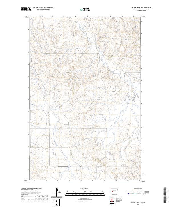
1973 Willow Creek East
Mercer County, ND
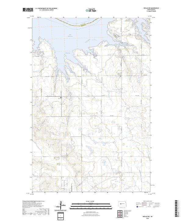
2024 Beulah NE
Mercer County, ND
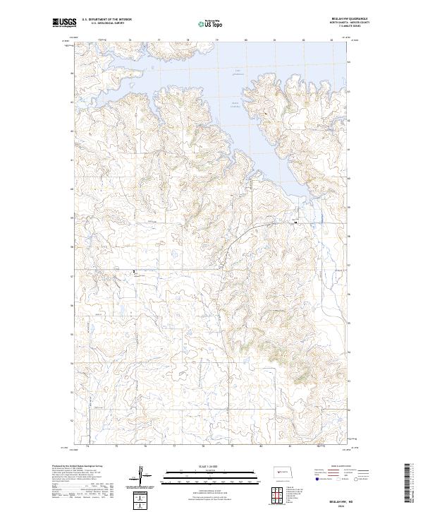
2024 Beulah NW
Mercer County, ND
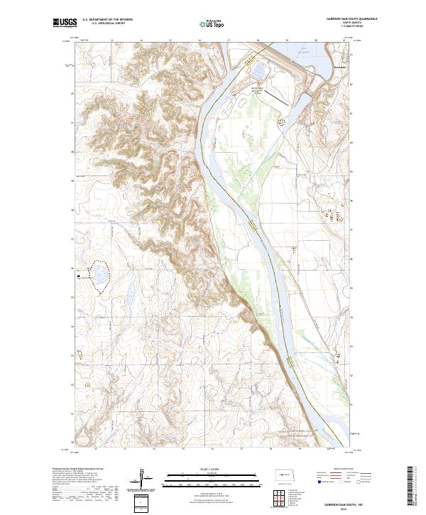
2024 Garrison Dam South
Mercer County, ND
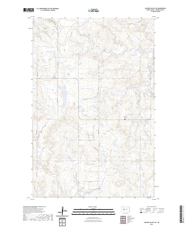
2024 Golden Valley NE
Mercer County, ND
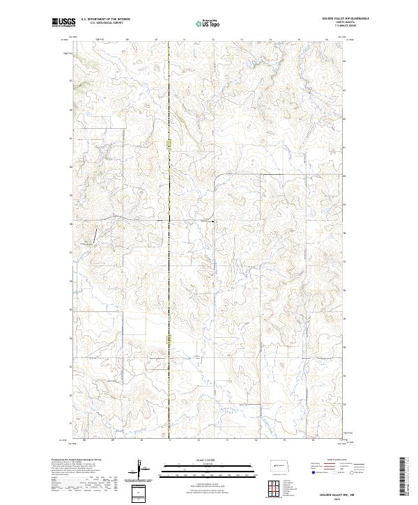
2024 Golden Valley NW
Mercer County, ND
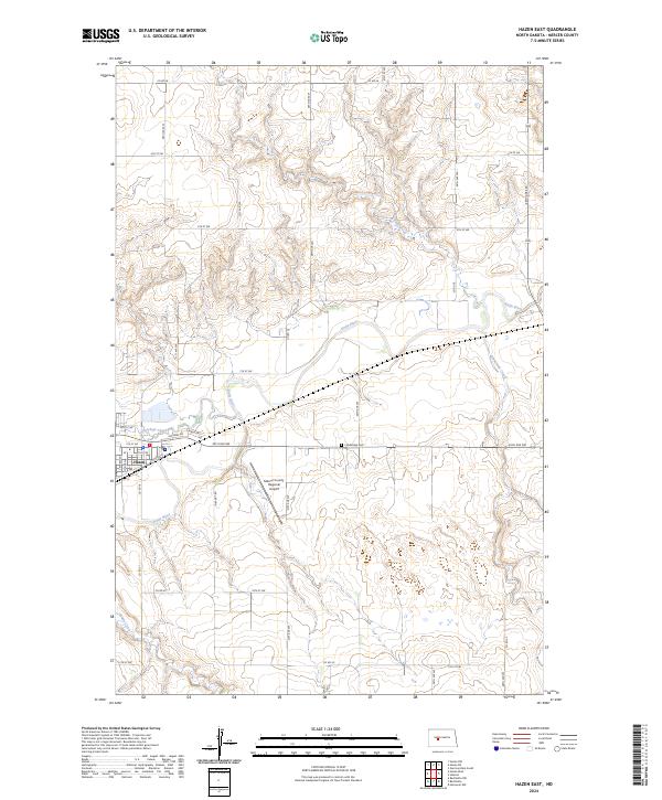
2024 Hazen East
Mercer County, ND
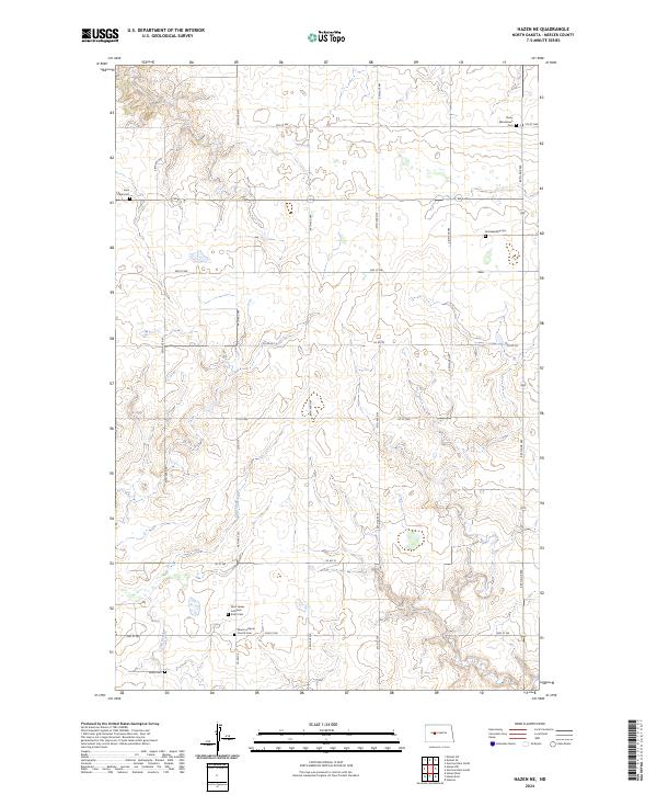
2024 Hazen NE
Mercer County, ND
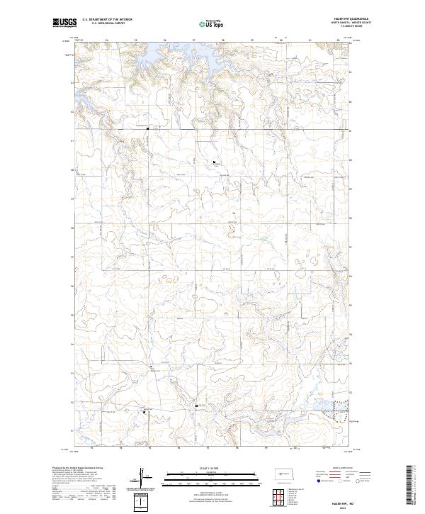
2024 Hazen NW
Mercer County, ND
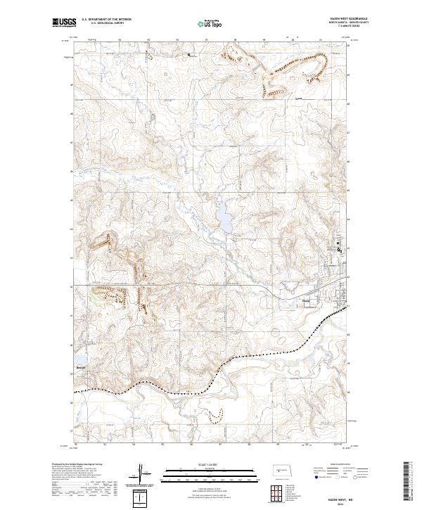
2024 Hazen West
Mercer County, ND
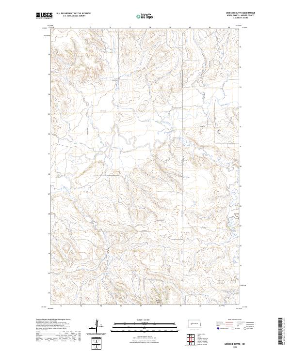
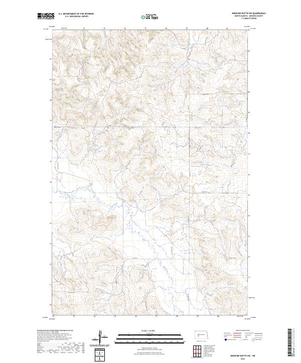
2024 Medicine Butte
Mercer County, ND
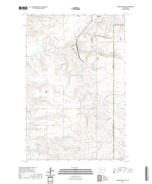
2024 Medicine Butte NE
Mercer County, ND
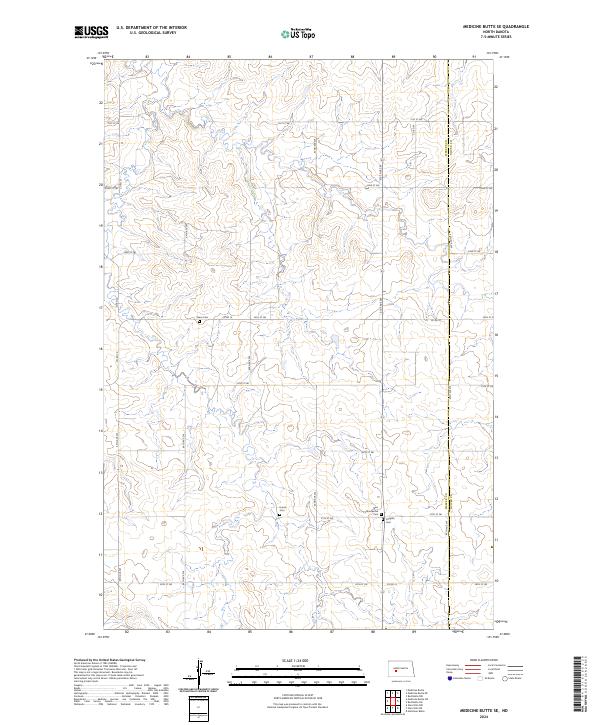
2024 Medicine Butte SE
Mercer County, ND
2024 Medicine Butte SW
Mercer County, ND
2024 Raub SE
Mercer County, ND
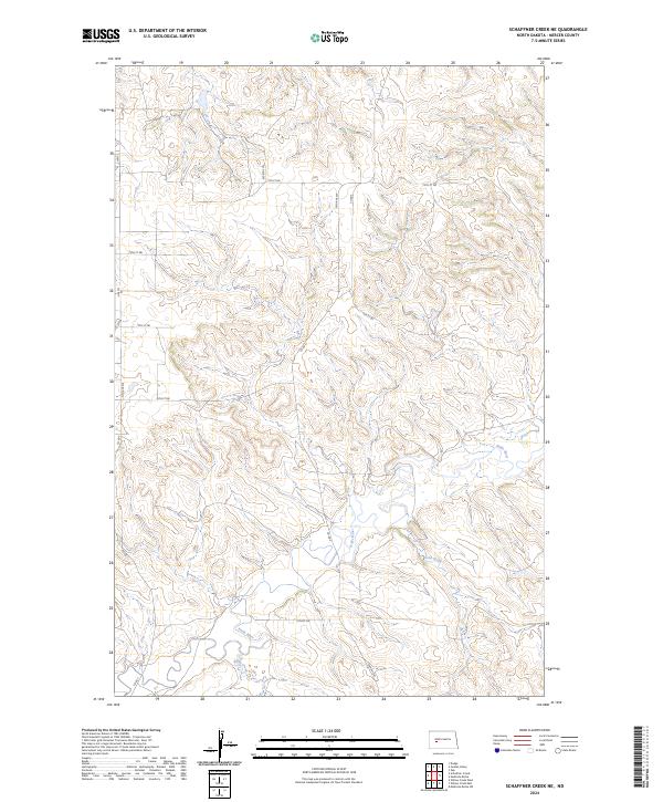
2024 Schaffner Creek NE
Mercer County, ND
2024 Twin Buttes
Mercer County, ND
2024 Willow Creek East
Mercer County, ND