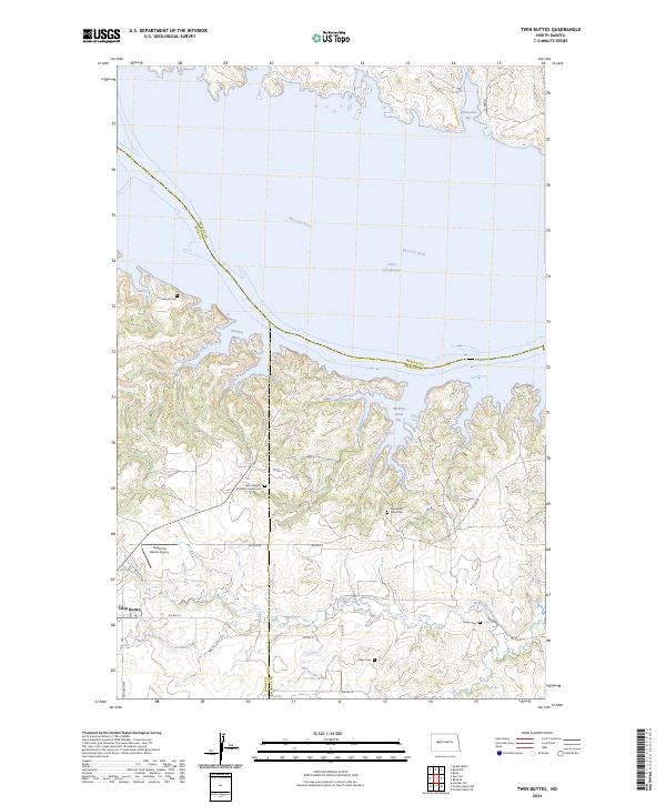
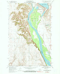
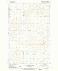
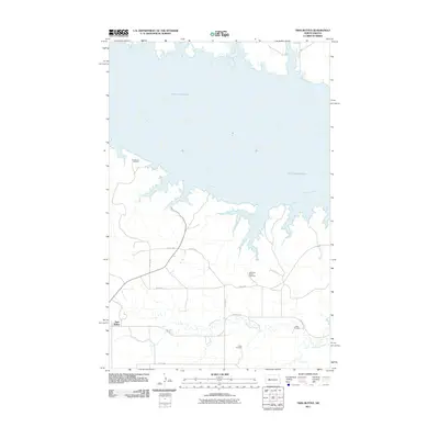
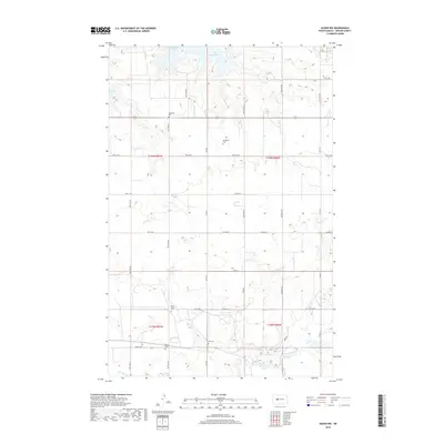
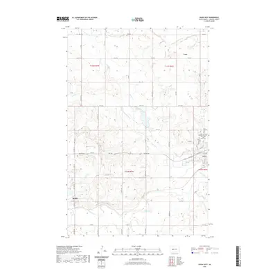
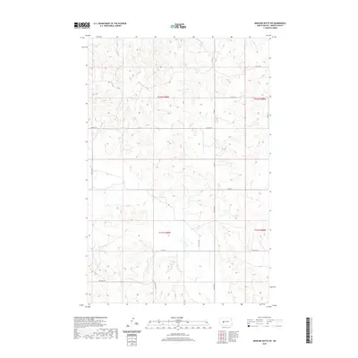
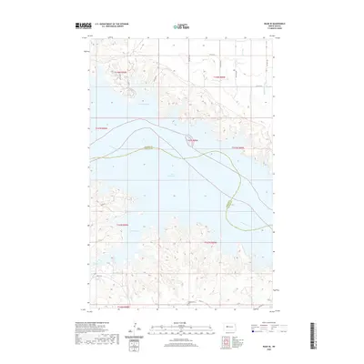
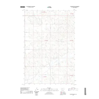
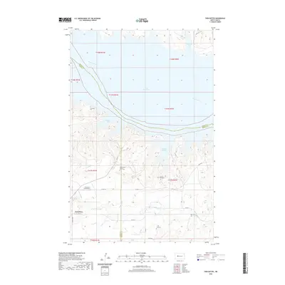
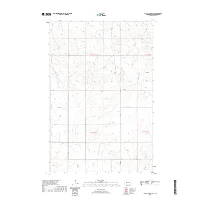
2024 Map of Twin Buttes
USGS Topo · Published 2024About this map
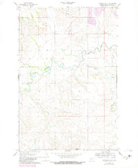
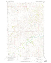
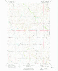
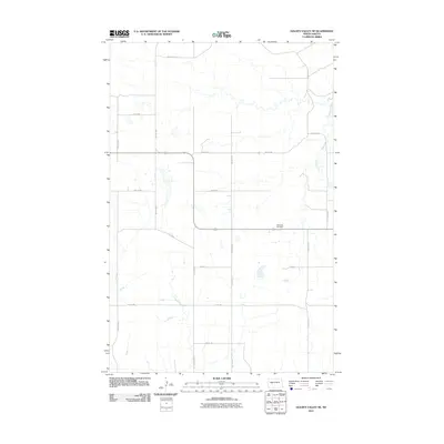
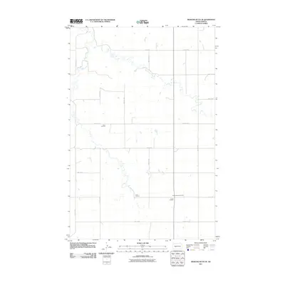
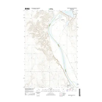
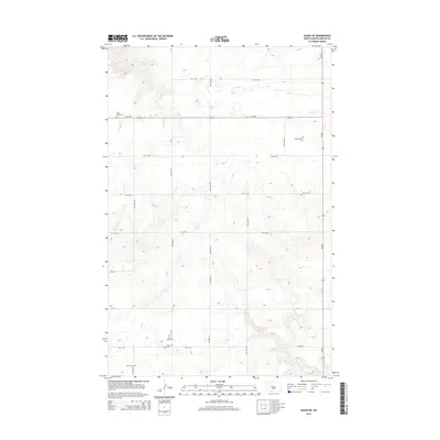
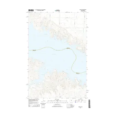
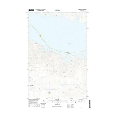
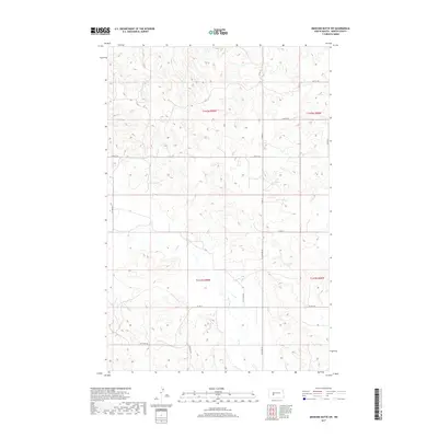
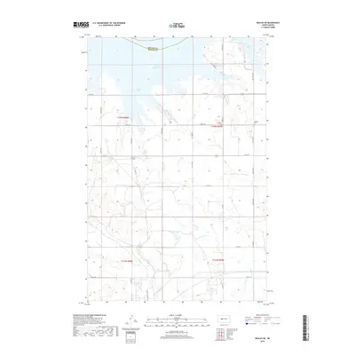
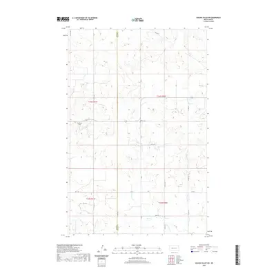
Lake Sakakawea and the Missouri River dominate this modern landscape where the waters meeting the shoreline of the Mandan and Fort Berthold areas create a complex network of bays and inlets. The settlement of Twin Buttes sits on the high ground south of the water, positioned near the intersection of several Bureau of Indian Affairs routes including Bia Rte 22 and Bia Rte 20.
Find a feature on this map
32 named features on this map. Tap any name to fly to it.
Don’t see what you’re looking for? This feature index may not catch every label — zoom into the map to look around manually.
Map Details
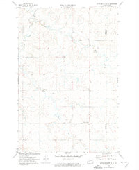
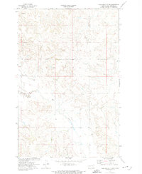
Editions of this 2024 Twin Buttes Map
This is the sole edition of this map. No revisions or reprints were ever made.
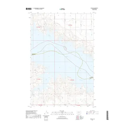
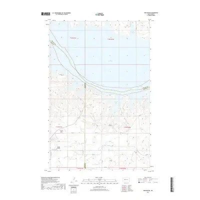
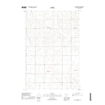
Historical Maps of Twin Buttes Through Time
102 maps found
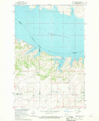
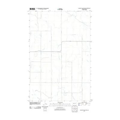
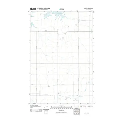
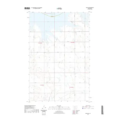
1967 Raub SE
Mercer County, ND
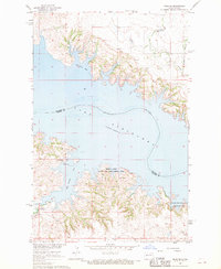
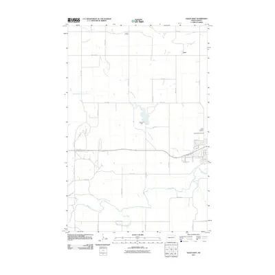
1967 Twin Buttes
Mercer County, ND
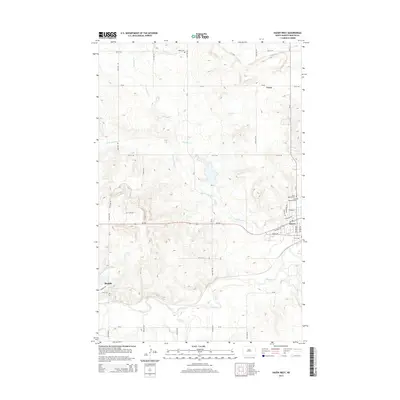
1968 Hazen East
Mercer County, ND

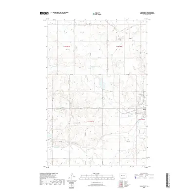
1968 Hazen West
Mercer County, ND
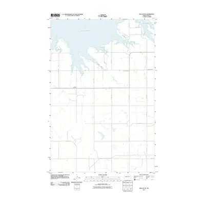
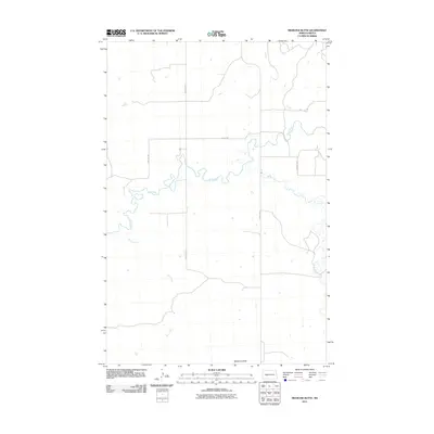
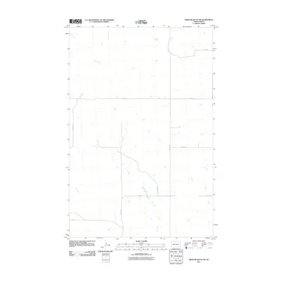
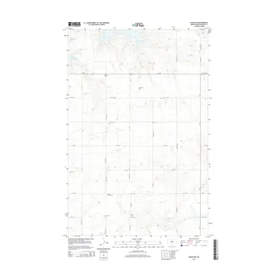
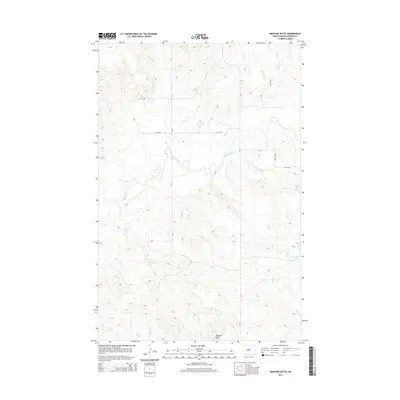
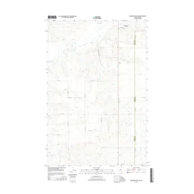
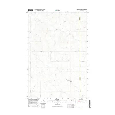
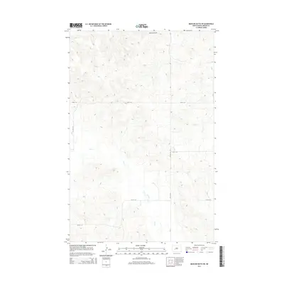
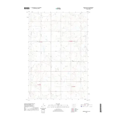
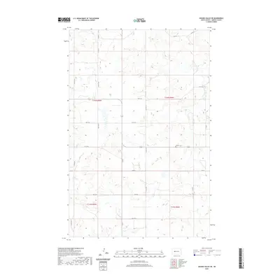
1968 Medicine Butte
Mercer County, ND
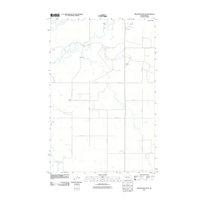
1968 Medicine Butte NE
Mercer County, ND
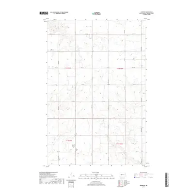
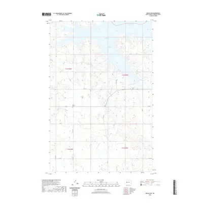
1969 Beulah NE
Mercer County, ND
1969 Beulah NW
Mercer County, ND
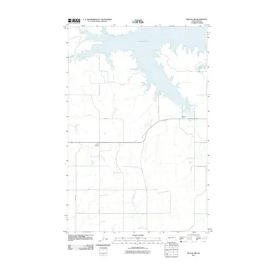
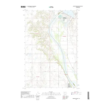
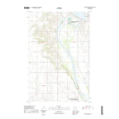
1969 Garrison Dam South
Mercer County, ND
1969 Hazen NE
Mercer County, ND
1969 Hazen NW
Mercer County, ND
1970 Golden Valley NE
Mercer County, ND
1970 Golden Valley NW
Mercer County, ND
1972 Medicine Butte SE
Mercer County, ND
1972 Medicine Butte SW
Mercer County, ND
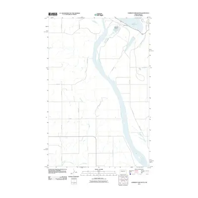
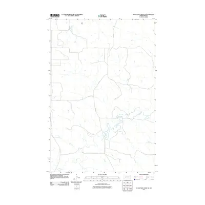
1973 Schaffner Creek NE
Mercer County, ND
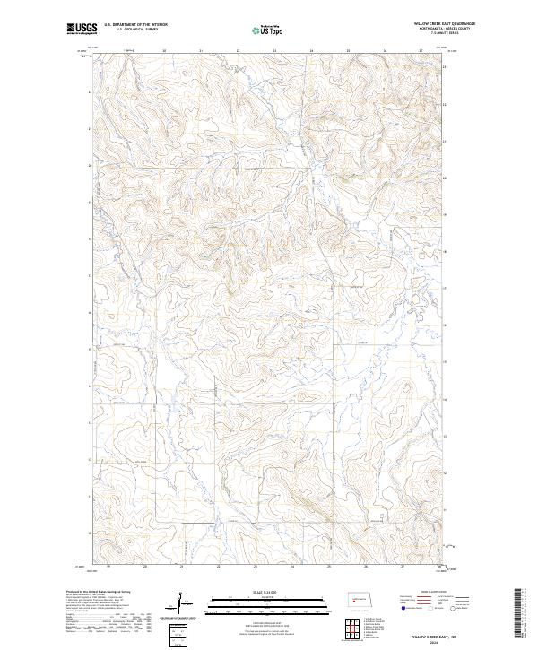
1973 Willow Creek East
Mercer County, ND
2011 Beulah NE
Mercer County, ND
2011 Beulah NW
Mercer County, ND
2011 Garrison Dam South
Mercer County, ND
2011 Golden Valley NE
Mercer County, ND
2011 Golden Valley NW
Mercer County, ND
2011 Hazen East
Mercer County, ND
2011 Hazen NE
Mercer County, ND
2011 Hazen NW
Mercer County, ND
2011 Hazen West
Mercer County, ND
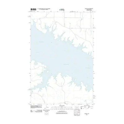
2011 Medicine Butte
Mercer County, ND
2011 Medicine Butte NE
Mercer County, ND
2011 Medicine Butte SE
Mercer County, ND
2011 Medicine Butte SW
Mercer County, ND
2011 Raub SE
Mercer County, ND
2011 Schaffner Creek NE
Mercer County, ND
2011 Twin Buttes
Mercer County, ND
2011 Willow Creek East
Mercer County, ND
2014 Beulah NE
Mercer County, ND
2014 Beulah NW
Mercer County, ND
2014 Garrison Dam South
Mercer County, ND
2014 Golden Valley NE
Mercer County, ND
2014 Golden Valley NW
Mercer County, ND
2014 Hazen East
Mercer County, ND
2014 Hazen NE
Mercer County, ND
2014 Hazen NW
Mercer County, ND
2014 Hazen West
Mercer County, ND
2014 Medicine Butte
Mercer County, ND
2014 Medicine Butte NE
Mercer County, ND
2014 Medicine Butte SE
Mercer County, ND
2014 Medicine Butte SW
Mercer County, ND
2014 Raub SE
Mercer County, ND
2014 Schaffner Creek NE
Mercer County, ND
2014 Twin Buttes
Mercer County, ND
2014 Willow Creek East
Mercer County, ND
2017 Beulah NW
Mercer County, ND
2017 Golden Valley NW
Mercer County, ND
2017 Hazen East
Mercer County, ND
2017 Medicine Butte
Mercer County, ND
2017 Medicine Butte NE
Mercer County, ND
2017 Medicine Butte SW
Mercer County, ND
2017 Raub SE
Mercer County, ND
2017 Twin Buttes
Mercer County, ND
2017 Willow Creek East
Mercer County, ND
2018 Beulah NE
Mercer County, ND
2018 Garrison Dam South
Mercer County, ND
2018 Golden Valley NE
Mercer County, ND
2018 Hazen NE
Mercer County, ND
2018 Hazen NW
Mercer County, ND
2018 Hazen West
Mercer County, ND
2018 Medicine Butte SE
Mercer County, ND
2018 Schaffner Creek NE
Mercer County, ND
2020 Beulah NE
Mercer County, ND
2020 Beulah NW
Mercer County, ND
2020 Garrison Dam South
Mercer County, ND
2020 Golden Valley NE
Mercer County, ND
2020 Golden Valley NW
Mercer County, ND
2020 Hazen East
Mercer County, ND
2020 Hazen NE
Mercer County, ND
2020 Hazen NW
Mercer County, ND
2020 Hazen West
Mercer County, ND
2020 Medicine Butte
Mercer County, ND
2020 Medicine Butte NE
Mercer County, ND
2020 Medicine Butte SE
Mercer County, ND
2020 Medicine Butte SW
Mercer County, ND
2020 Raub SE
Mercer County, ND
2020 Schaffner Creek NE
Mercer County, ND
2020 Twin Buttes
Mercer County, ND
2020 Willow Creek East
Mercer County, ND
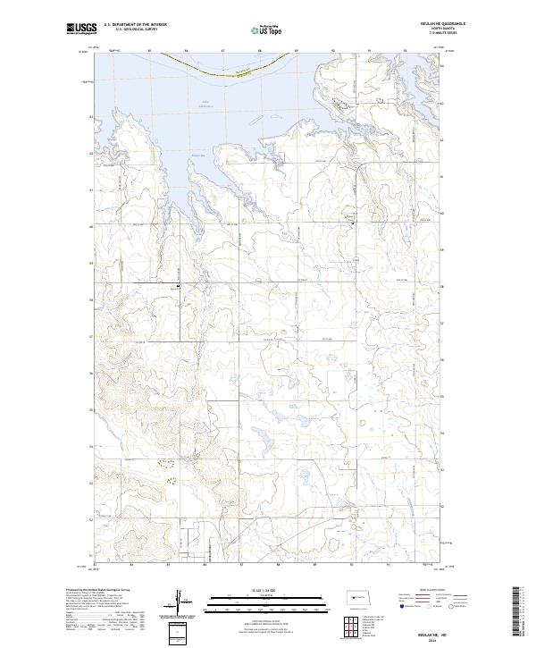
2024 Beulah NE
Mercer County, ND
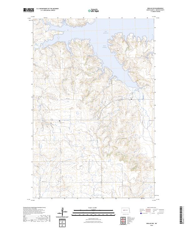
2024 Beulah NW
Mercer County, ND
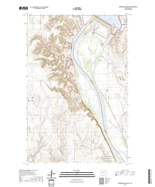
2024 Garrison Dam South
Mercer County, ND
2024 Golden Valley NE
Mercer County, ND
2024 Golden Valley NW
Mercer County, ND
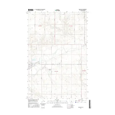
2024 Hazen East
Mercer County, ND
2024 Hazen NE
Mercer County, ND
2024 Hazen NW
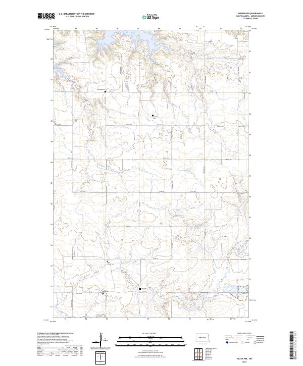
Mercer County, ND
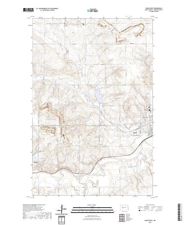
2024 Hazen West
Mercer County, ND
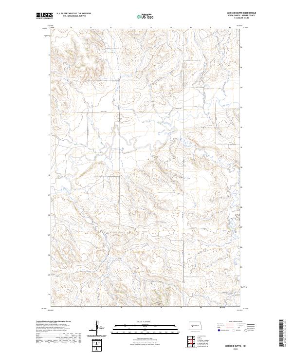
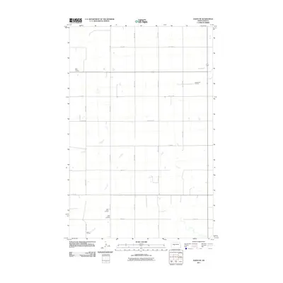
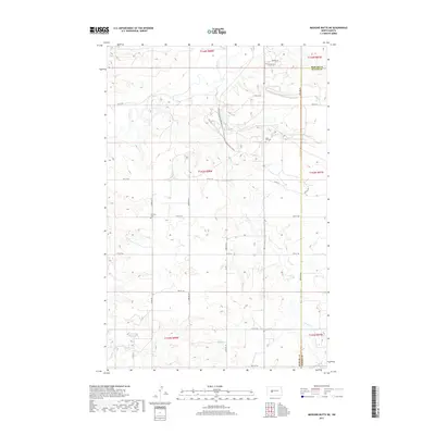
2024 Medicine Butte
Mercer County, ND
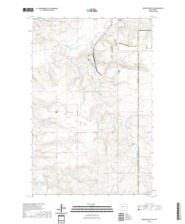
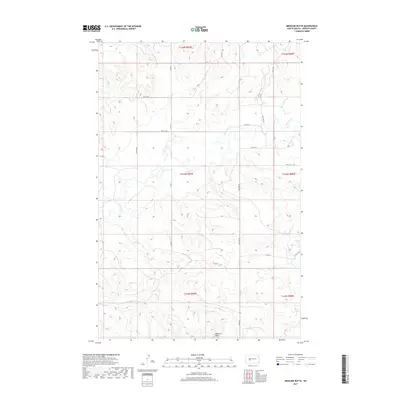
2024 Medicine Butte NE
Mercer County, ND
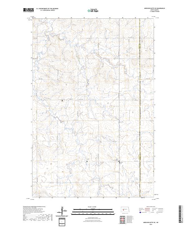
2024 Medicine Butte SE
Mercer County, ND
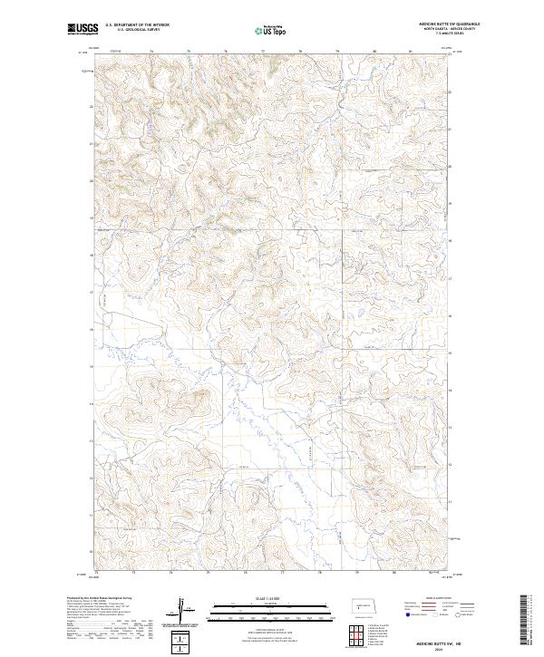
2024 Medicine Butte SW
Mercer County, ND
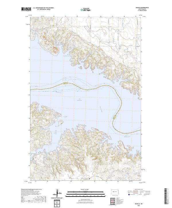
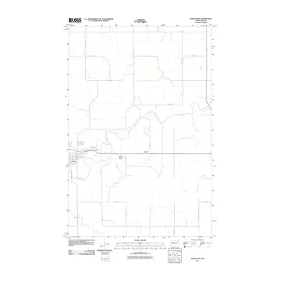
2024 Raub SE
Mercer County, ND
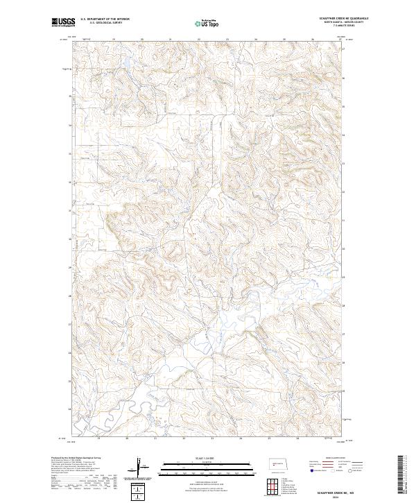
2024 Schaffner Creek NE
Mercer County, ND
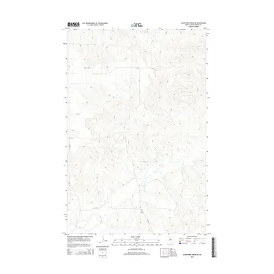
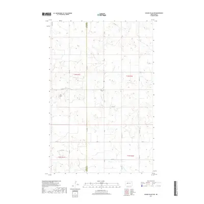
2024 Twin Buttes
Mercer County, ND
2024 Willow Creek East
Mercer County, ND