2022 Map of Arlington
USGS Topo · Published 2022About this map
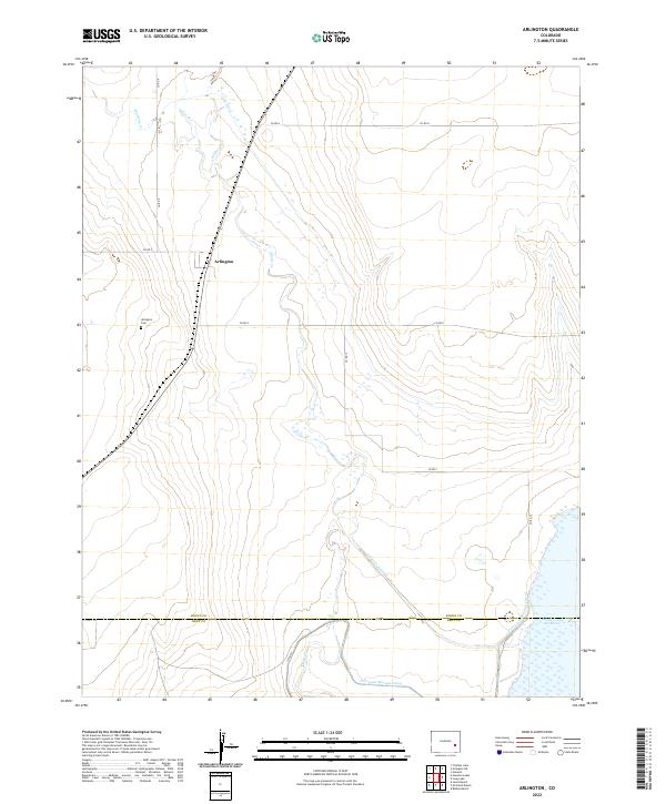
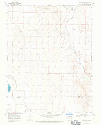
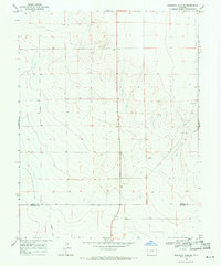
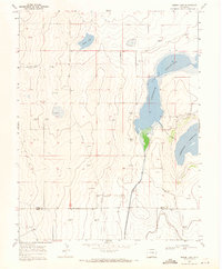
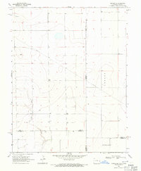
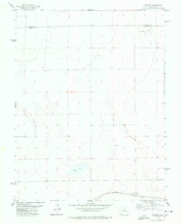
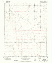
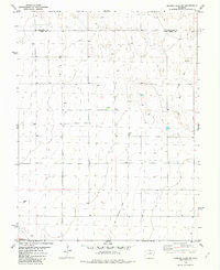
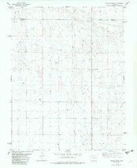
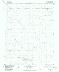
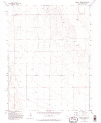
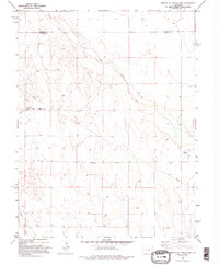
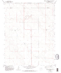
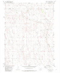
Arlington sits in the heart of this high plains landscape, a small community defined by its proximity to vital water management infrastructure. The map documents the critical water systems of southeastern Colorado, including the Colt Ditch and the substantial Fort Lyon Storage Canal which feeds into the Adobe Creek Reservoir at the southern edge. The drainage patterns of Mustang Cr, Johns Cr, and Adobe Cr converge here, illustrating how the natural geography of the Kiowa-Bent county line has been adapted for agricultural irrigation. For local historians, the Arlington Cem provides a specific point of genealogical interest just west of the town site. The presence of the Adobe Cr Inlet and numerous unnamed marshes near the reservoir suggests a landscape where the line between natural prairie and engineered wetland is constantly shifting.
Find a feature on this map
24 named features on this map. Tap any name to fly to it.
Don’t see what you’re looking for? This feature index may not catch every label — zoom into the map to look around manually.
Map Details
Editions of this 2022 Arlington Map
This is the sole edition of this map. No revisions or reprints were ever made.
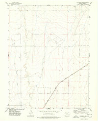
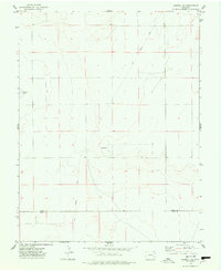
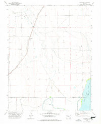
Historical Maps of Arlington Through Time
54 maps found
1967 Neenoshe Reservoir
Kiowa County, CO
1968 Alkali Lake
Kiowa County, CO
1968 Chivington
Kiowa County, CO
1968 Chivington SE
Kiowa County, CO
1968 Hawkins
Kiowa County, CO
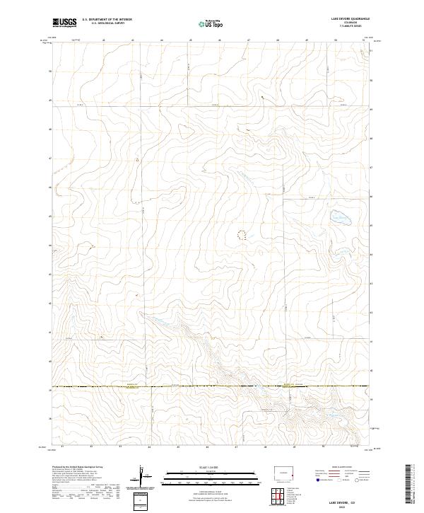
1968 Lake Devore
Kiowa County, CO
1968 Rose Ranch
Kiowa County, CO
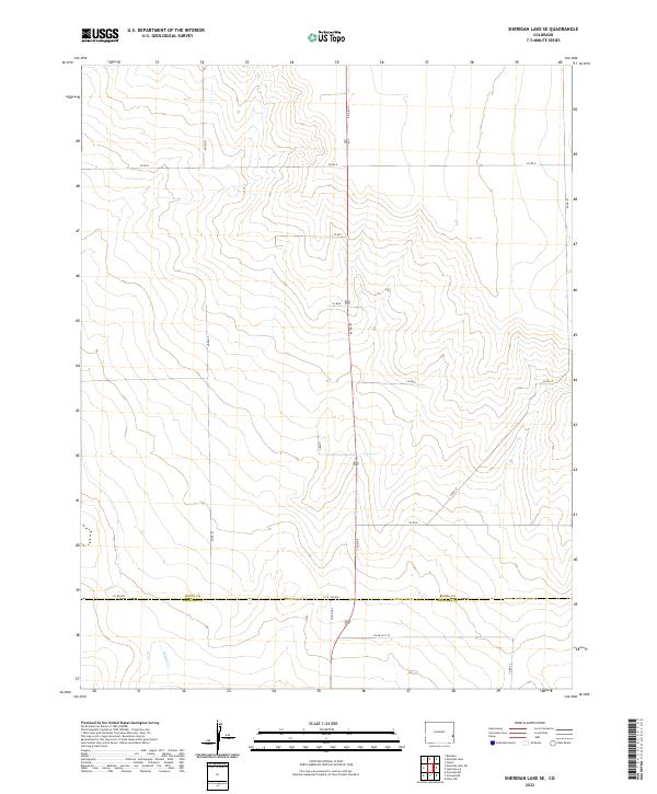
1968 Sheridan Lake SE
Kiowa County, CO
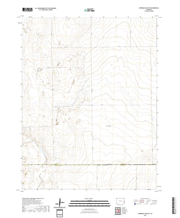
1968 Sheridan Lake SW
Kiowa County, CO
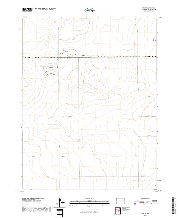
1968 Stuart
Kiowa County, CO
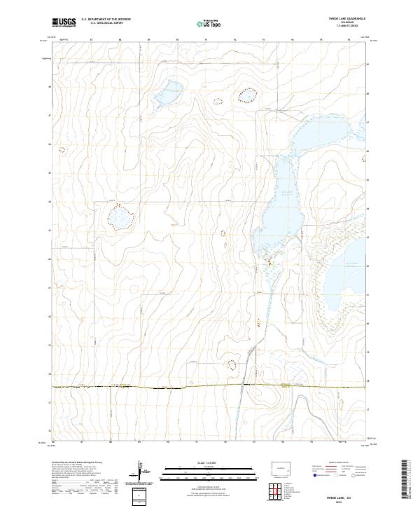
1968 Swede Lake
Kiowa County, CO
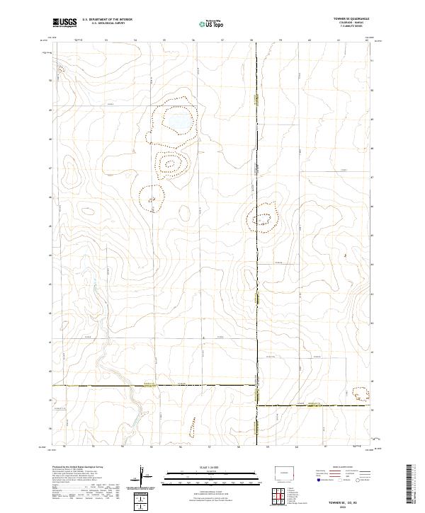
1968 Towner SE
Kiowa County, CO
1974 Arlington NE
Kiowa County, CO
1974 Haswell SE
Kiowa County, CO
1978 Arlington
Kiowa County, CO
1978 Galatea
Kiowa County, CO
1978 Haswell NE
Kiowa County, CO
1978 Houston Lakes
Kiowa County, CO
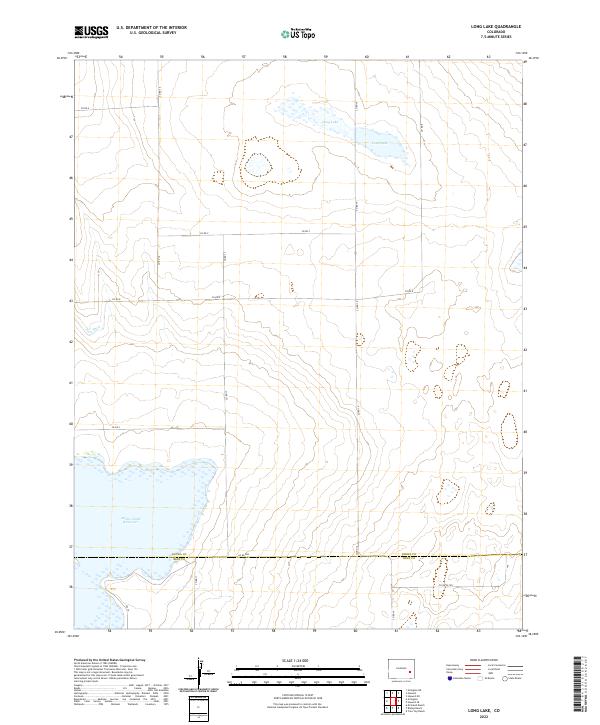
1978 Long Lake
Kiowa County, CO
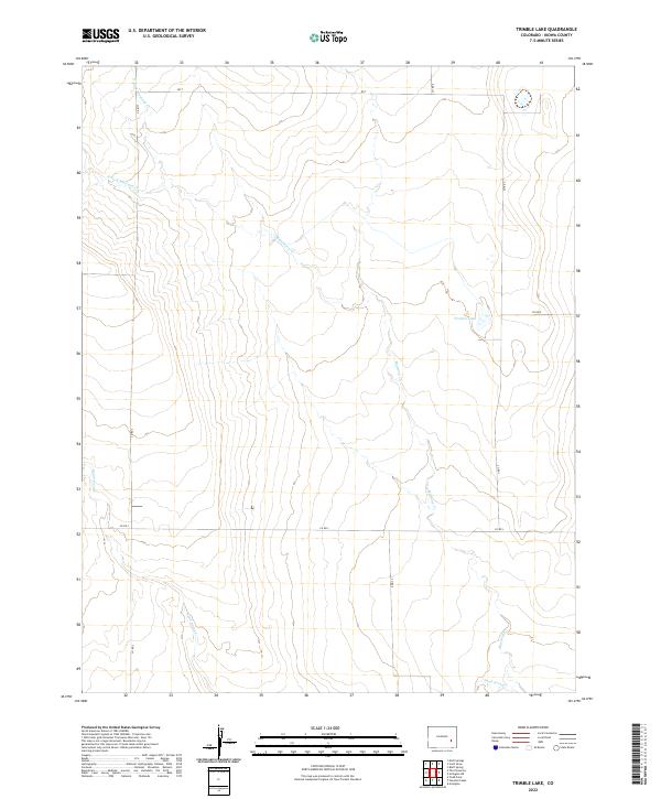
1978 Trimble Lake
Kiowa County, CO
1982 Arsenic Lake SW
Kiowa County, CO
1982 Dunlap Ranch
Kiowa County, CO
1982 Lake Albert
Kiowa County, CO
1982 North Of Brandon
Kiowa County, CO
1982 North Of Chivington
Kiowa County, CO
1982 North Of Sheridan Lake
Kiowa County, CO
1982 Oswald Ranch
Kiowa County, CO
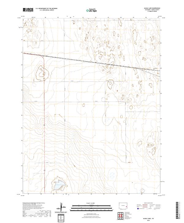
2022 Alkali Lake
Kiowa County, CO
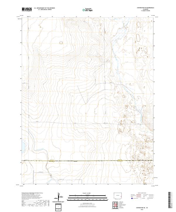
2022 Arlington
Kiowa County, CO
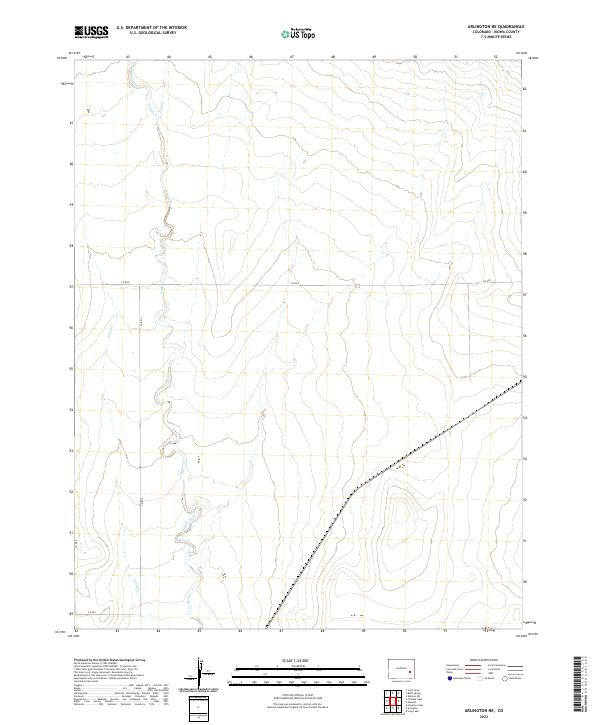
2022 Arlington NE
Kiowa County, CO
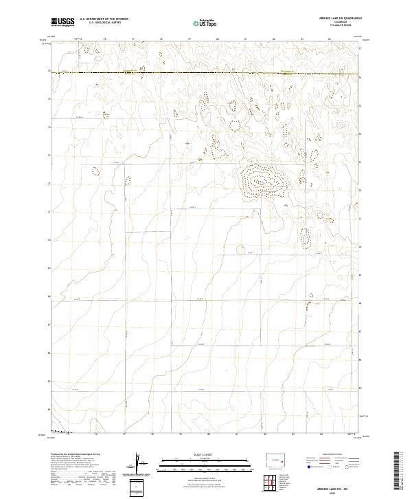
2022 Arsenic Lake SW
Kiowa County, CO
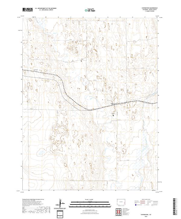
2022 Chivington
Kiowa County, CO
2022 Chivington SE
Kiowa County, CO
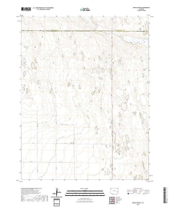
2022 Dunlap Ranch
Kiowa County, CO
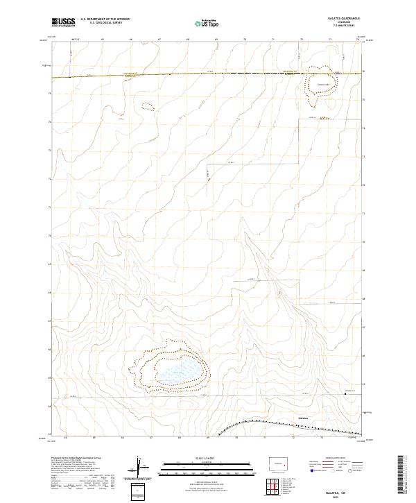
2022 Galatea
Kiowa County, CO
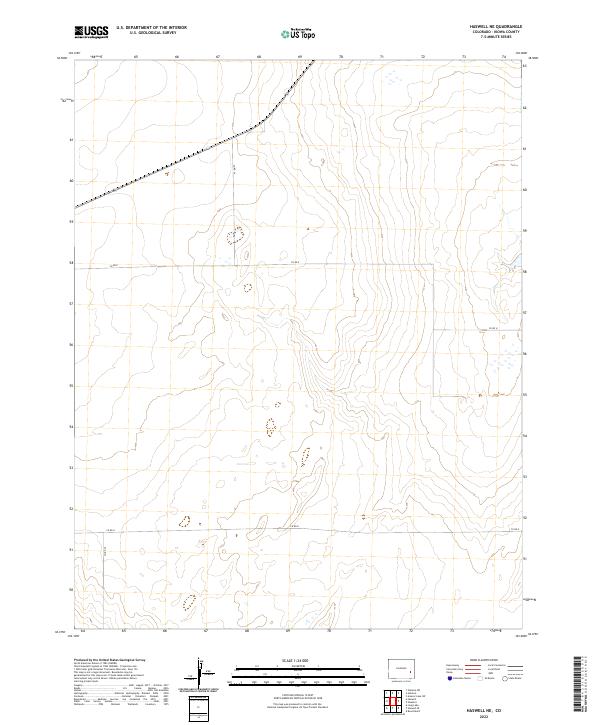
2022 Haswell NE
Kiowa County, CO
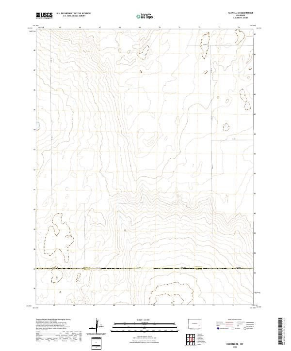
2022 Haswell SE
Kiowa County, CO
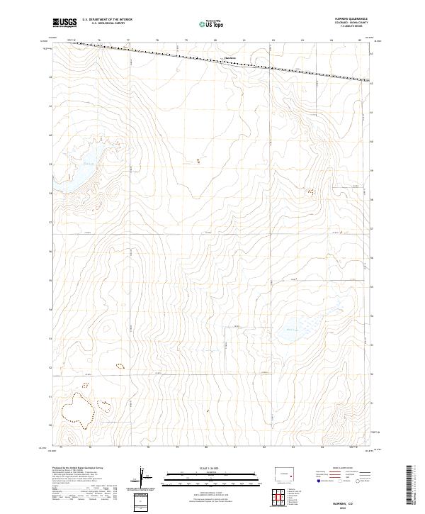
2022 Hawkins
Kiowa County, CO
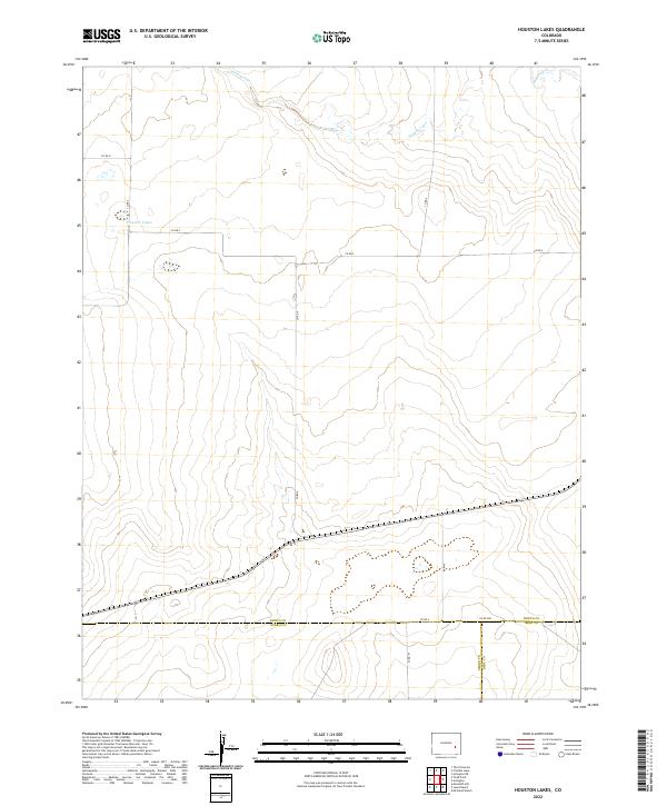
2022 Houston Lakes
Kiowa County, CO
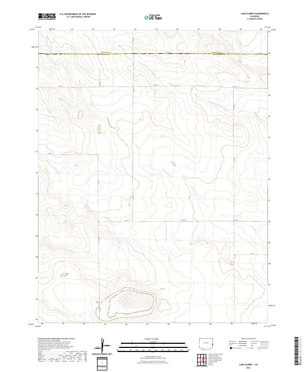
2022 Lake Albert
Kiowa County, CO
2022 Lake Devore
Kiowa County, CO
2022 Long Lake
Kiowa County, CO
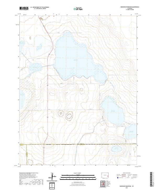
2022 Neenoshe Reservoir
Kiowa County, CO
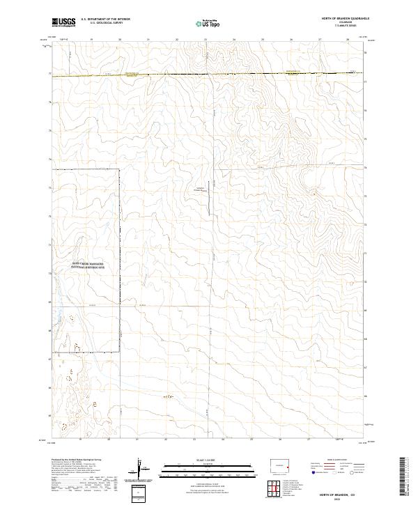
2022 North of Brandon
Kiowa County, CO
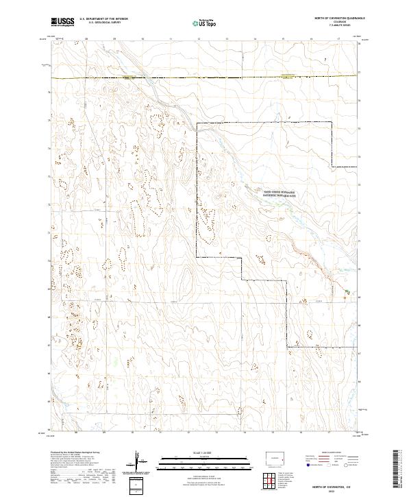
2022 North of Chivington
Kiowa County, CO
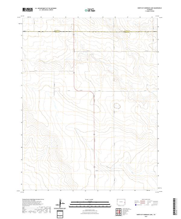
2022 North of Sheridan Lake
Kiowa County, CO
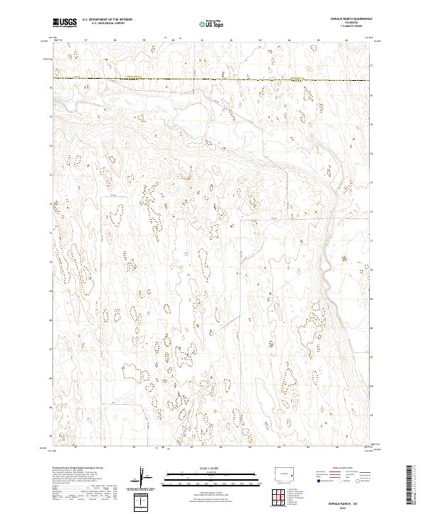
2022 Oswald Ranch
Kiowa County, CO
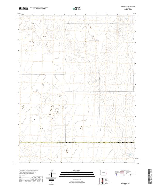
2022 Rose Ranch
Kiowa County, CO
2022 Sheridan Lake SE
Kiowa County, CO
2022 Sheridan Lake SW
Kiowa County, CO
2022 Stuart
Kiowa County, CO
2022 Swede Lake
Kiowa County, CO
2022 Towner SE
Kiowa County, CO
2022 Trimble Lake
Kiowa County, CO