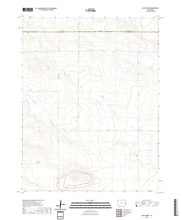
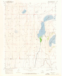
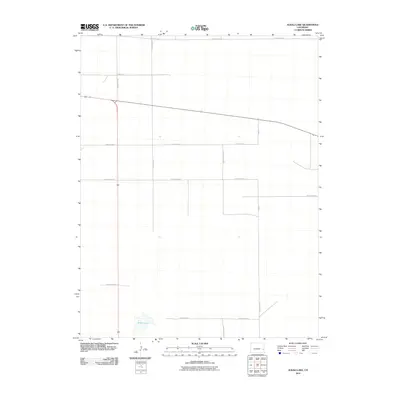
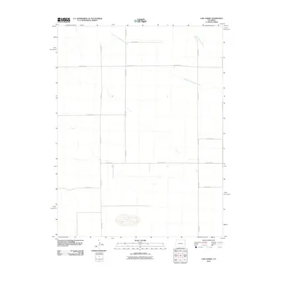
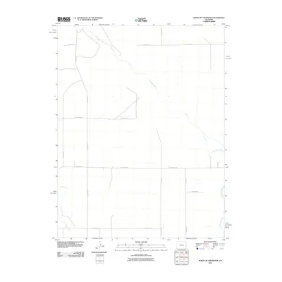
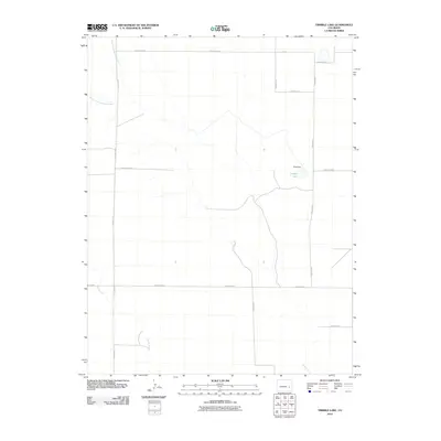
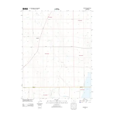
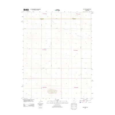
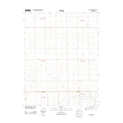
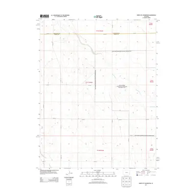
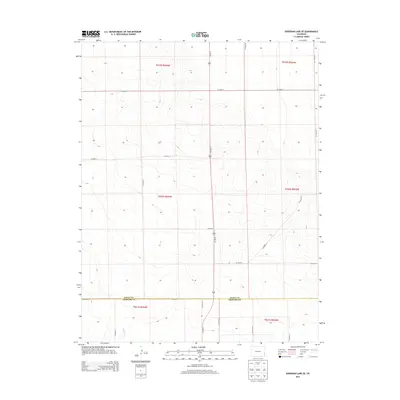
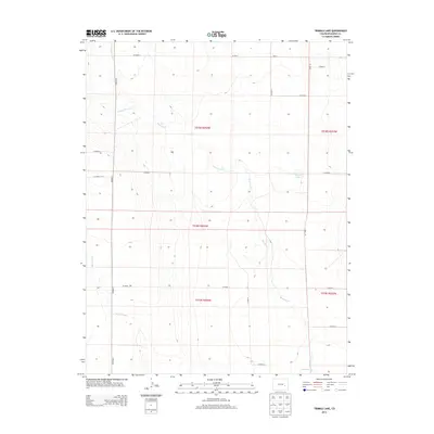
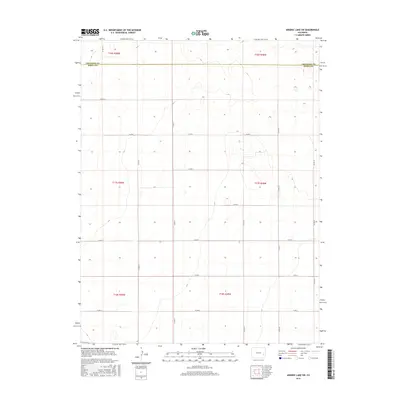
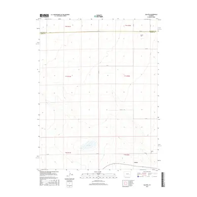
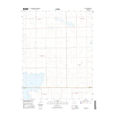
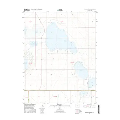
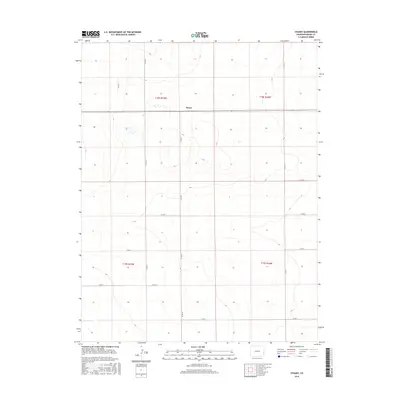
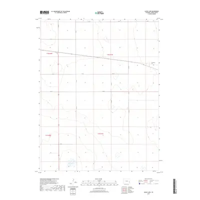
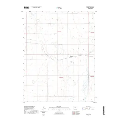
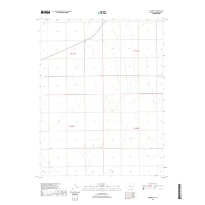
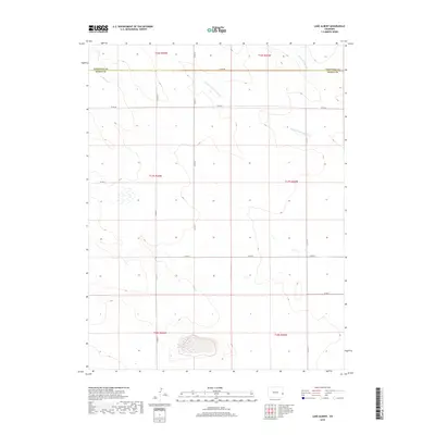
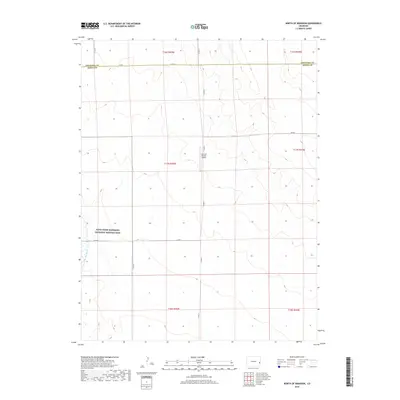
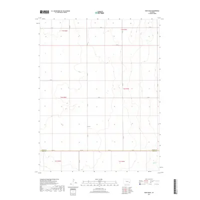
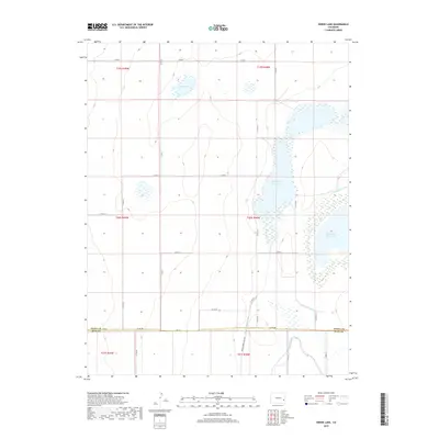
2022 Map of Lake Albert
USGS Topo · Published 2022About this map
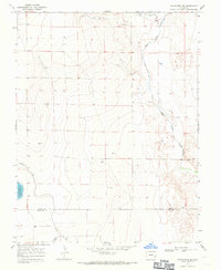
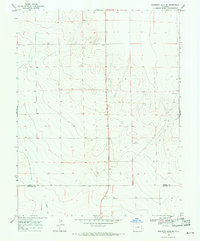
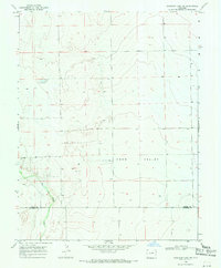
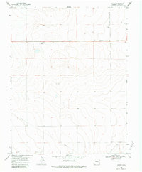
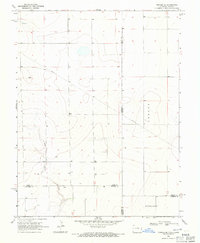
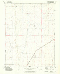
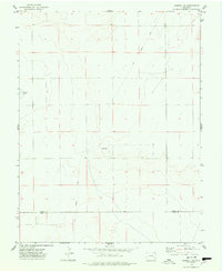
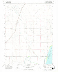
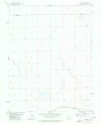
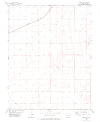
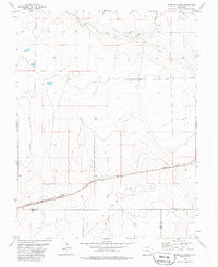
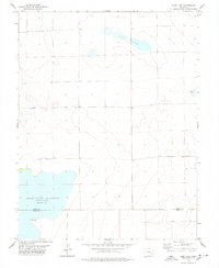
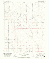
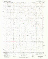
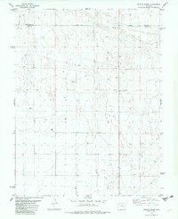
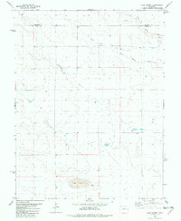
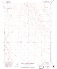
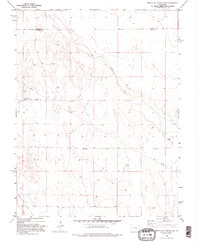
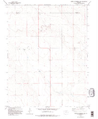
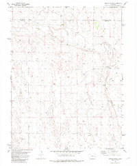
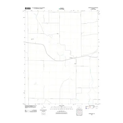
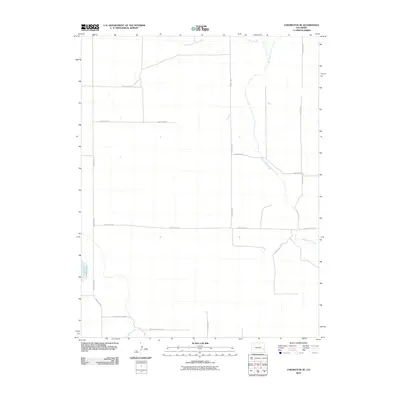
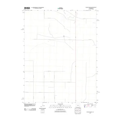
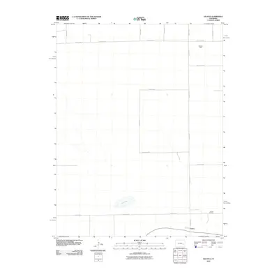
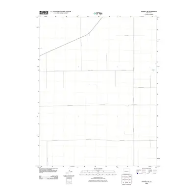
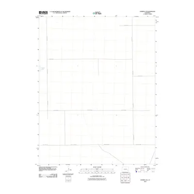
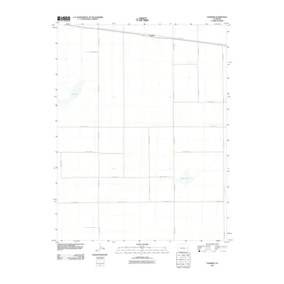
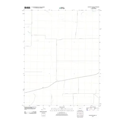
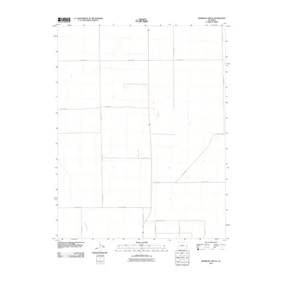
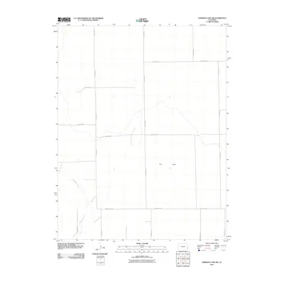
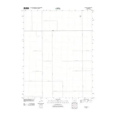
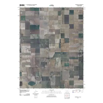
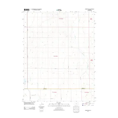
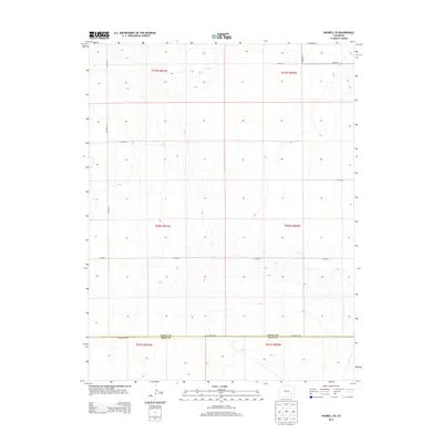
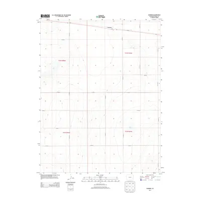
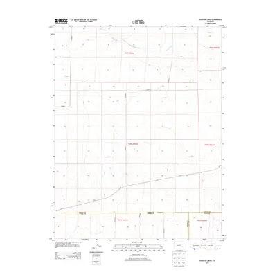
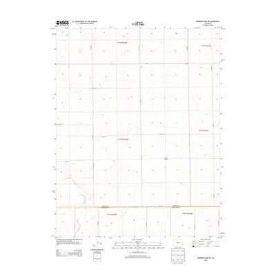
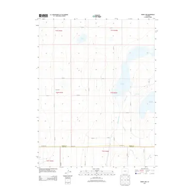
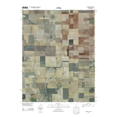
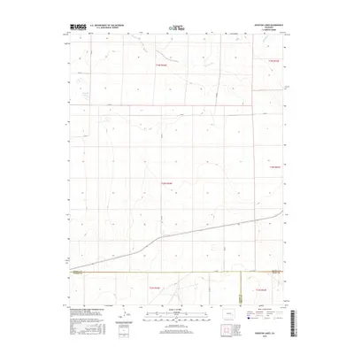
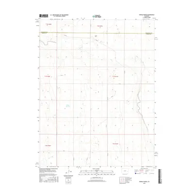
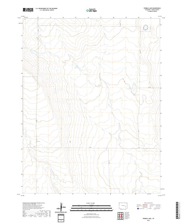
The High Plains landscape of eastern Colorado is defined by a rhythmic grid of section lines and county roads, as documented in this survey of the borderlands between Cheyenne and Kiowa counties. The intermittent drainage of White Woman Cr and its tributary, the S Fork White Woman Cr, carve shallow depressions across the terrain, illustrating the ephemeral hydrology of this arid agricultural region. A dense network of gravel and dirt routes, including Co Rd 88, Co Rd Aa, and Co Rd 71, provides the primary structure for the local land use, reflecting the systematic Public Land Survey System that governs the division of these wide-open spaces. This topographic study captures the fundamental geometry of the Colorado prairie, where transportation and water are the primary markers of human and natural history.
Find a feature on this map
18 named features on this map. Tap any name to fly to it.
Don’t see what you’re looking for? This feature index may not catch every label — zoom into the map to look around manually.
Map Details
Editions of this 2022 Lake Albert Map
This is the sole edition of this map. No revisions or reprints were ever made.
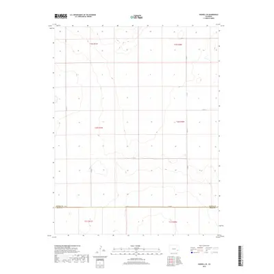
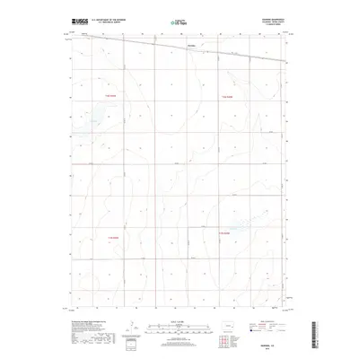
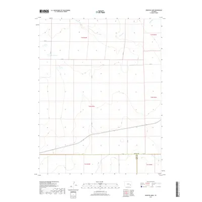
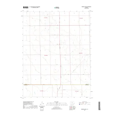
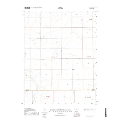
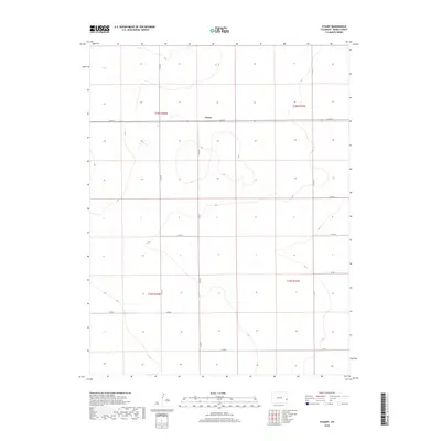
Historical Maps of Cheyenne County Through Time
162 maps found
1967 Neenoshe Reservoir
Kiowa County, CO
1968 Alkali Lake
Kiowa County, CO
1968 Chivington
Kiowa County, CO
1968 Chivington SE
Kiowa County, CO
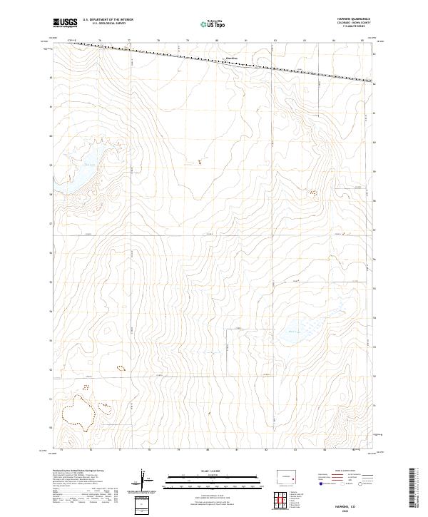
1968 Hawkins
Kiowa County, CO
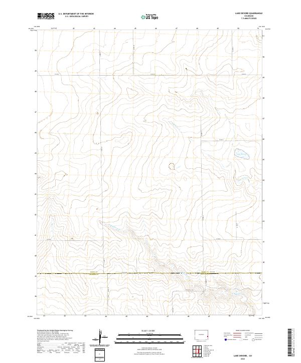
1968 Lake Devore
Kiowa County, CO
1968 Rose Ranch
Kiowa County, CO
1968 Sheridan Lake SE
Kiowa County, CO
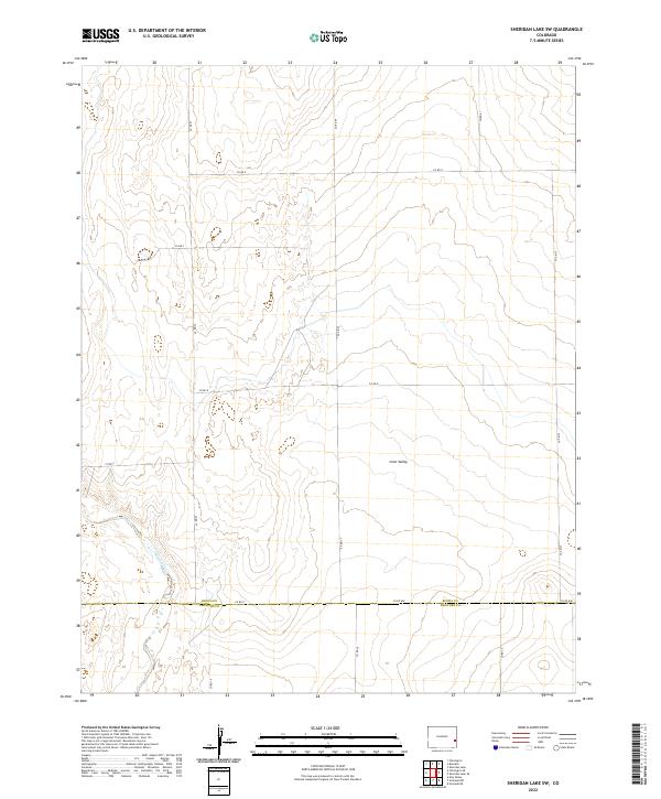
1968 Sheridan Lake SW
Kiowa County, CO
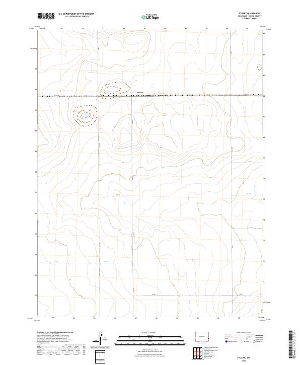
1968 Stuart
Kiowa County, CO
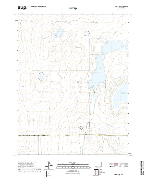
1968 Swede Lake
Kiowa County, CO
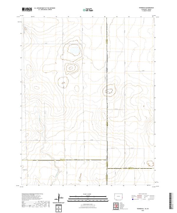
1968 Towner SE
Kiowa County, CO
1974 Arlington NE
Kiowa County, CO
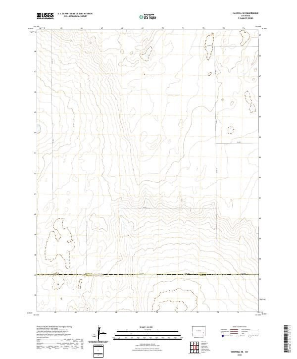
1974 Haswell SE
Kiowa County, CO
1978 Arlington
Kiowa County, CO
1978 Galatea
Kiowa County, CO
1978 Haswell NE
Kiowa County, CO
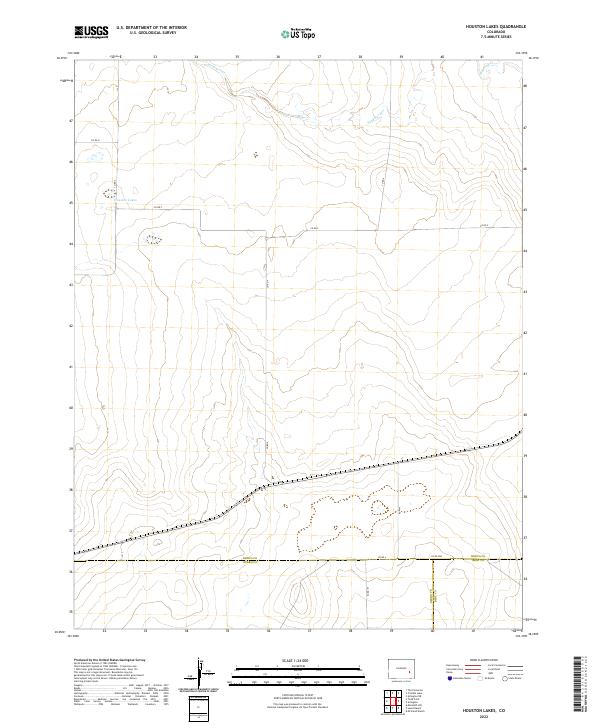
1978 Houston Lakes
Kiowa County, CO
1978 Long Lake
Kiowa County, CO
1978 Trimble Lake
Kiowa County, CO
1982 Arsenic Lake SW
Kiowa County, CO
1982 Dunlap Ranch
Kiowa County, CO
1982 Lake Albert
Kiowa County, CO
1982 North Of Brandon
Kiowa County, CO
1982 North Of Chivington
Kiowa County, CO
1982 North Of Sheridan Lake
Kiowa County, CO
1982 Oswald Ranch
Kiowa County, CO
2010 Alkali Lake
Kiowa County, CO
2010 Arlington
Kiowa County, CO
2010 Arlington NE
Kiowa County, CO
2010 Arsenic Lake SW
Kiowa County, CO
2010 Chivington
Kiowa County, CO
2010 Chivington SE
Kiowa County, CO
2010 Dunlap Ranch
Kiowa County, CO
2010 Galatea
Kiowa County, CO
2010 Haswell NE
Kiowa County, CO
2010 Haswell SE
Kiowa County, CO
2010 Hawkins
Kiowa County, CO
2010 Houston Lakes
Kiowa County, CO
2010 Lake Albert
Kiowa County, CO
2010 Lake Devore
Kiowa County, CO
2010 Long Lake
Kiowa County, CO
2010 North of Brandon
Kiowa County, CO
2010 North of Chivington
Kiowa County, CO
2010 North of Sheridan Lake
Kiowa County, CO
2010 Oswald Ranch
Kiowa County, CO
2010 Rose Ranch
Kiowa County, CO
2010 Sheridan Lake SE
Kiowa County, CO
2010 Sheridan Lake SW
Kiowa County, CO
2010 Stuart
Kiowa County, CO
2010 Towner SE
Kiowa County, CO
2010 Trimble Lake
Kiowa County, CO
2011 Neenoshe Reservoir
Kiowa County, CO
2011 Swede Lake
Kiowa County, CO
2013 Alkali Lake
Kiowa County, CO
2013 Arlington
Kiowa County, CO
2013 Arlington NE
Kiowa County, CO
2013 Arsenic Lake SW
Kiowa County, CO
2013 Chivington
Kiowa County, CO
2013 Chivington SE
Kiowa County, CO
2013 Dunlap Ranch
Kiowa County, CO
2013 Galatea
Kiowa County, CO
2013 Haswell NE
Kiowa County, CO
2013 Haswell SE
Kiowa County, CO
2013 Hawkins
Kiowa County, CO
2013 Houston Lakes
Kiowa County, CO
2013 Lake Albert
Kiowa County, CO
2013 Lake Devore
Kiowa County, CO
2013 Long Lake
Kiowa County, CO
2013 Neenoshe Reservoir
Kiowa County, CO
2013 North of Brandon
Kiowa County, CO
2013 North of Chivington
Kiowa County, CO
2013 North of Sheridan Lake
Kiowa County, CO
2013 Oswald Ranch
Kiowa County, CO
2013 Rose Ranch
Kiowa County, CO
2013 Sheridan Lake SE
Kiowa County, CO
2013 Sheridan Lake SW
Kiowa County, CO

2013 Stuart
Kiowa County, CO
2013 Swede Lake
Kiowa County, CO
2013 Towner SE
Kiowa County, CO
2013 Trimble Lake
Kiowa County, CO
2016 Alkali Lake
Kiowa County, CO
2016 Arlington
Kiowa County, CO
2016 Arlington NE
Kiowa County, CO
2016 Arsenic Lake SW
Kiowa County, CO
2016 Chivington
Kiowa County, CO
2016 Chivington SE
Kiowa County, CO
2016 Dunlap Ranch
Kiowa County, CO
2016 Galatea
Kiowa County, CO
2016 Haswell NE
Kiowa County, CO
2016 Haswell SE
Kiowa County, CO
2016 Hawkins
Kiowa County, CO
2016 Houston Lakes
Kiowa County, CO
2016 Lake Albert
Kiowa County, CO
2016 Lake Devore
Kiowa County, CO
2016 Long Lake
Kiowa County, CO
2016 Neenoshe Reservoir
Kiowa County, CO
2016 North of Brandon
Kiowa County, CO
2016 North of Chivington
Kiowa County, CO
2016 North of Sheridan Lake
Kiowa County, CO
2016 Oswald Ranch
Kiowa County, CO
2016 Rose Ranch
Kiowa County, CO
2016 Sheridan Lake SE
Kiowa County, CO
2016 Sheridan Lake SW
Kiowa County, CO
2016 Stuart
Kiowa County, CO
2016 Swede Lake
Kiowa County, CO
2016 Towner SE
Kiowa County, CO
2016 Trimble Lake
Kiowa County, CO
2019 Alkali Lake
Kiowa County, CO
2019 Arlington
Kiowa County, CO
2019 Arlington NE
Kiowa County, CO
2019 Arsenic Lake SW
Kiowa County, CO
2019 Chivington
Kiowa County, CO
2019 Chivington SE
Kiowa County, CO
2019 Dunlap Ranch
Kiowa County, CO
2019 Galatea
Kiowa County, CO
2019 Haswell NE
Kiowa County, CO
2019 Haswell SE
Kiowa County, CO
2019 Hawkins
Kiowa County, CO
2019 Houston Lakes
Kiowa County, CO
2019 Lake Albert
Kiowa County, CO
2019 Lake Devore
Kiowa County, CO
2019 Long Lake
Kiowa County, CO
2019 Neenoshe Reservoir
Kiowa County, CO
2019 North of Brandon
Kiowa County, CO
2019 North of Chivington
Kiowa County, CO
2019 North of Sheridan Lake
Kiowa County, CO
2019 Oswald Ranch
Kiowa County, CO
2019 Rose Ranch
Kiowa County, CO
2019 Sheridan Lake SE
Kiowa County, CO
2019 Sheridan Lake SW
Kiowa County, CO
2019 Stuart
Kiowa County, CO
2019 Swede Lake
Kiowa County, CO
2019 Towner SE
Kiowa County, CO
2019 Trimble Lake
Kiowa County, CO
2022 Alkali Lake
Kiowa County, CO
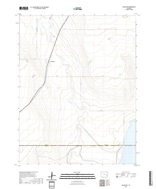
2022 Arlington
Kiowa County, CO
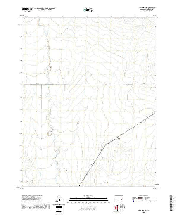
2022 Arlington NE
Kiowa County, CO
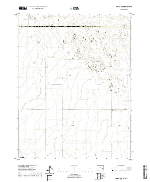
2022 Arsenic Lake SW
Kiowa County, CO
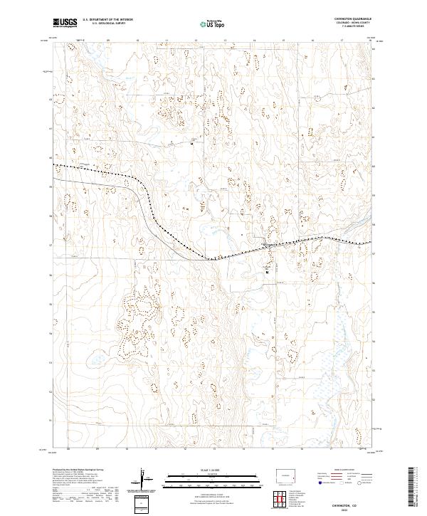
2022 Chivington
Kiowa County, CO
2022 Chivington SE
Kiowa County, CO
2022 Dunlap Ranch
Kiowa County, CO
2022 Galatea
Kiowa County, CO
2022 Haswell NE
Kiowa County, CO
2022 Haswell SE
Kiowa County, CO
2022 Hawkins
Kiowa County, CO
2022 Houston Lakes
Kiowa County, CO
2022 Lake Albert
Kiowa County, CO
2022 Lake Devore
Kiowa County, CO
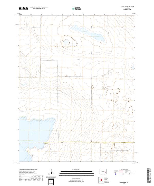
2022 Long Lake
Kiowa County, CO
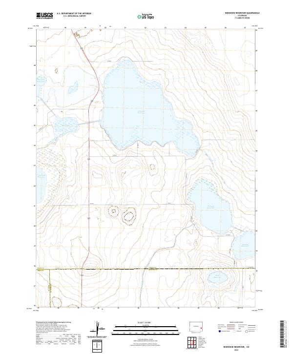
2022 Neenoshe Reservoir
Kiowa County, CO
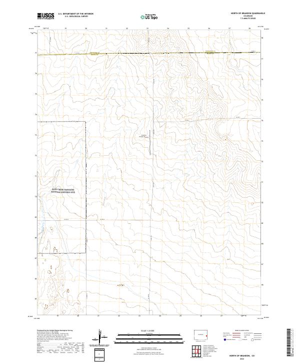
2022 North of Brandon
Kiowa County, CO
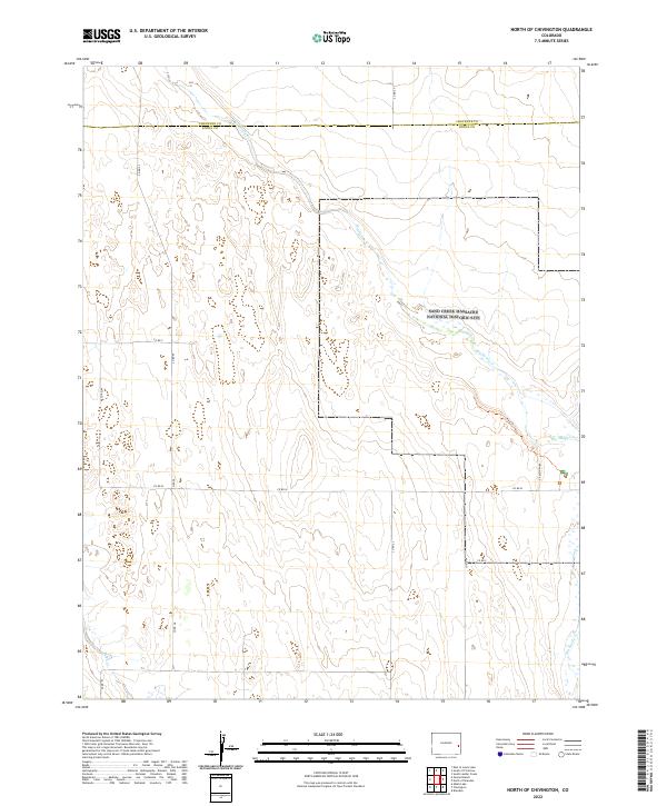
2022 North of Chivington
Kiowa County, CO
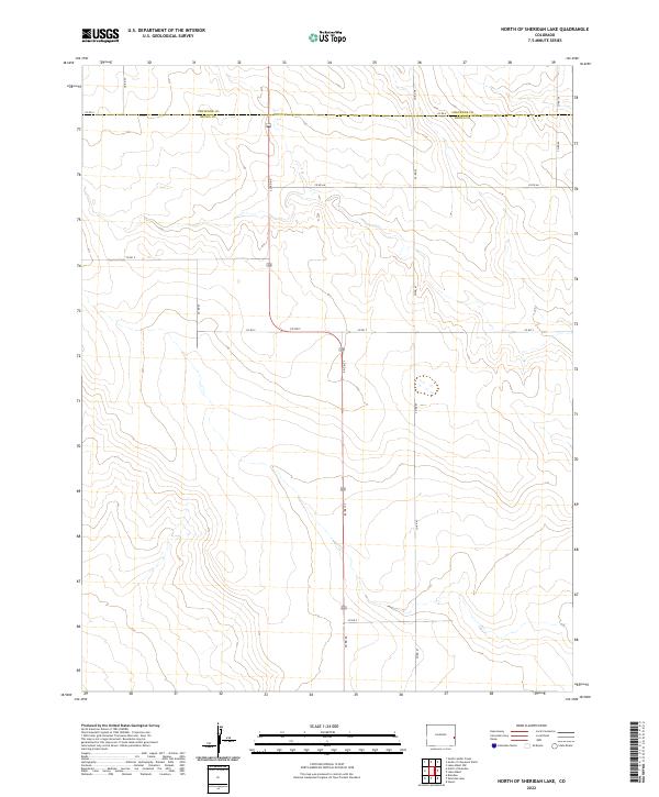
2022 North of Sheridan Lake
Kiowa County, CO
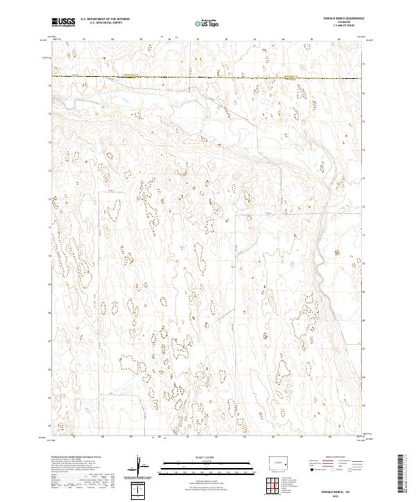
2022 Oswald Ranch
Kiowa County, CO
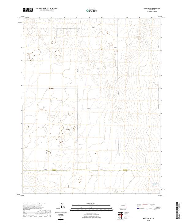
2022 Rose Ranch
Kiowa County, CO
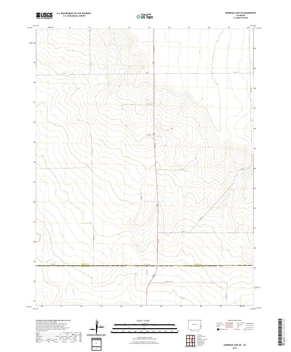
2022 Sheridan Lake SE
Kiowa County, CO
2022 Sheridan Lake SW
Kiowa County, CO
2022 Stuart
Kiowa County, CO
2022 Swede Lake
Kiowa County, CO
2022 Towner SE
Kiowa County, CO
2022 Trimble Lake
Kiowa County, CO