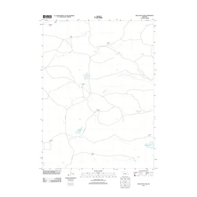
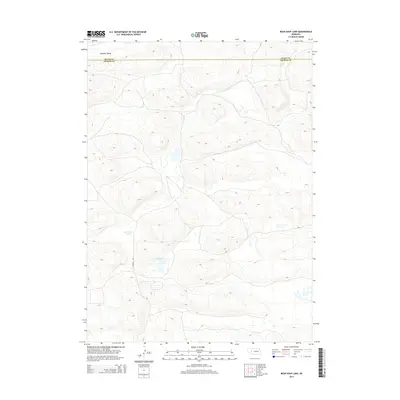
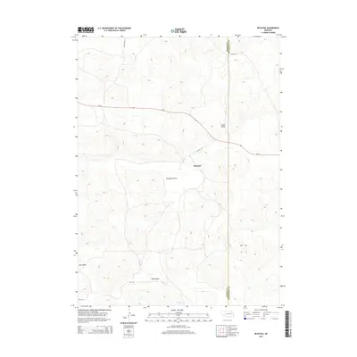
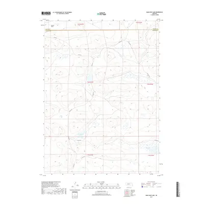
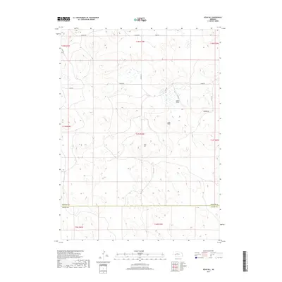
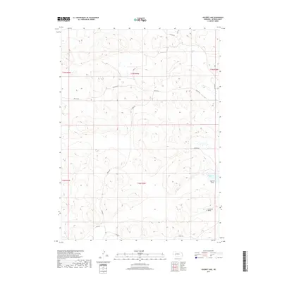
2021 Map of Bean Soup Lake
USGS Topo · Published 2021About this map
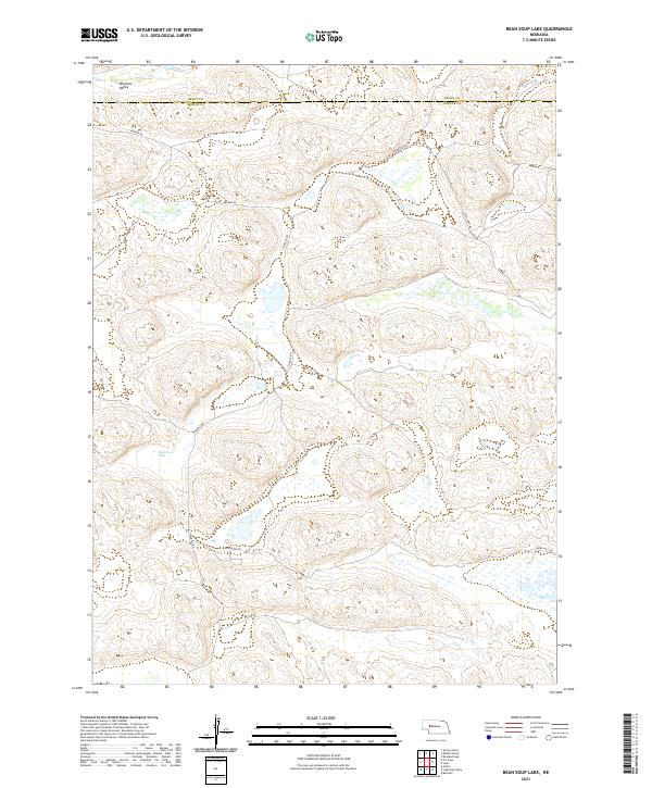
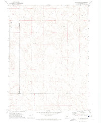
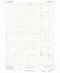
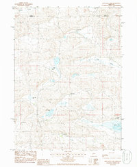
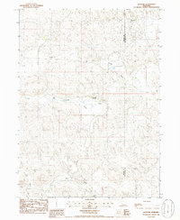
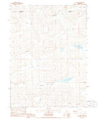
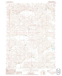
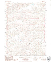
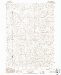
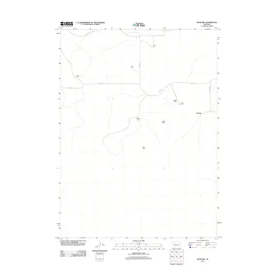
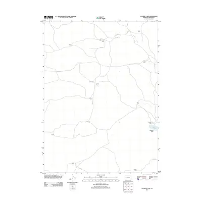
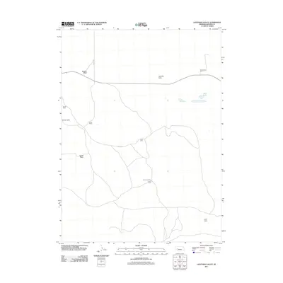
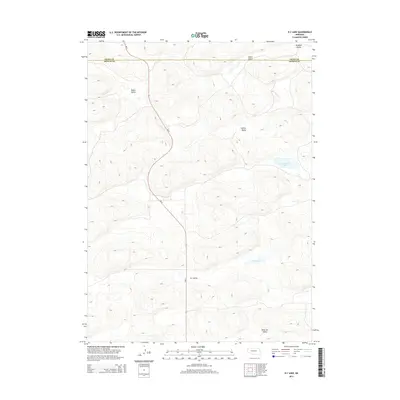
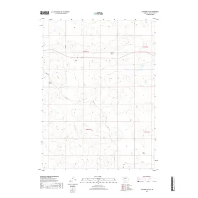
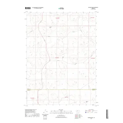
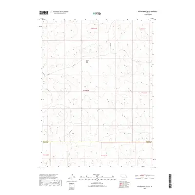
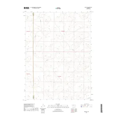
Winslow Valley dominates the northern reaches of this western Nebraska landscape, crossing the boundary between Grant and Arthur Counties. The terrain is characterized by the complex wetland and dune systems of the Sandhills, where ephemeral water bodies and localized depressions define the land use. Centrally located, Bean Soup Lake serves as a primary geographic anchor amidst a network of rural routes including Triangle Rd and Kramer Rd. These roads often follow the natural contours of the valley floors, skirting the numerous unnamed marshes and ponds that dot the region. The map reveals a sparse, ranch-oriented infrastructure where long-established property lines and section boundaries, such as those in t20n r37w, dictate the placement of local connectors like Ellingrod Dr and Dykes Camp Rd.
Find a feature on this map
15 named features on this map. Tap any name to fly to it.
Don’t see what you’re looking for? This feature index may not catch every label — zoom into the map to look around manually.
Map Details
Editions of this 2021 Bean Soup Lake Map
This is the sole edition of this map. No revisions or reprints were ever made.
Historical Maps of Arthur County Through Time
71 maps found
1950 Velma
Arthur County, NE
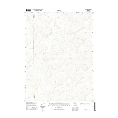
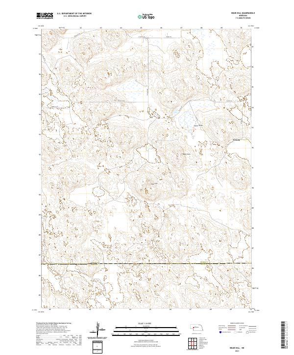
1971 Bear Hill
Arthur County, NE

1971 Packard Ranch
Arthur County, NE
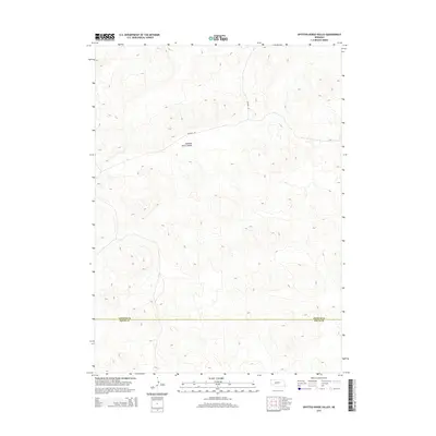
1971 Spotted Horse Valley
Arthur County, NE
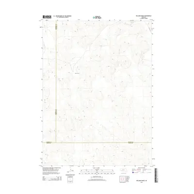
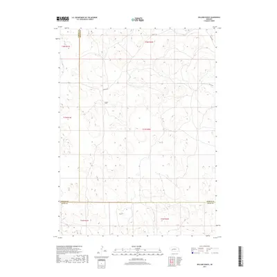
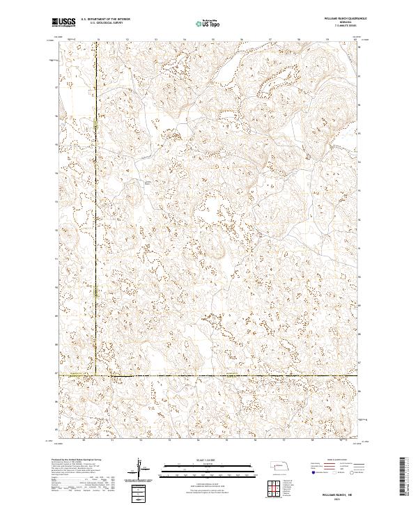
1971 Williams Ranch
Arthur County, NE
1972 Bucktail Lake
Arthur County, NE
1985 Bean Soup Lake
Arthur County, NE
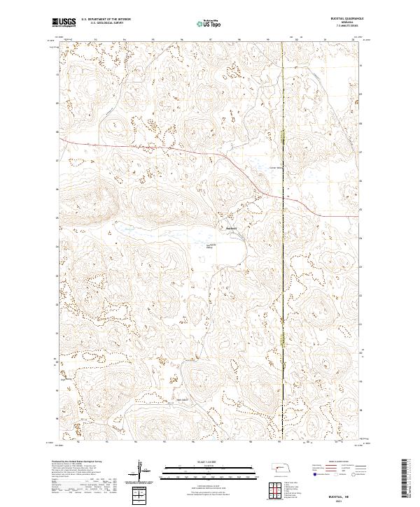
1985 Bucktail
Arthur County, NE
1985 K C Lake
Arthur County, NE
1985 Lena
Arthur County, NE
1985 Lightning Valley
Arthur County, NE
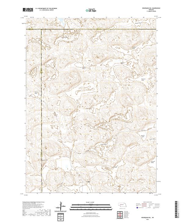
1986 Bourquim Hill
Arthur County, NE
1986 Hulbert Lake
Arthur County, NE
1986 Jensen Lake
Arthur County, NE
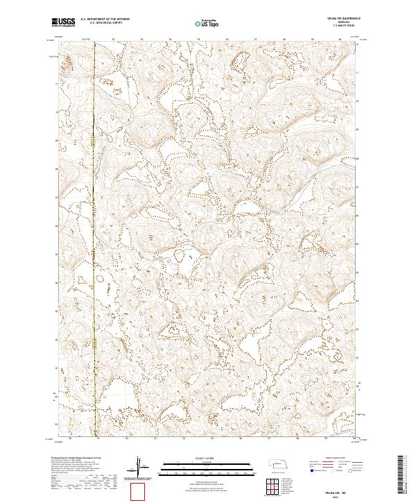
1986 Velma SW
Arthur County, NE
2011 Bean Soup Lake
Arthur County, NE
2011 Bear Hill
Arthur County, NE
2011 Bourquim Hill
Arthur County, NE
2011 Bucktail
Arthur County, NE
2011 Bucktail Lake
Arthur County, NE
2011 Hulbert Lake
Arthur County, NE
2011 Jensen Lake
Arthur County, NE
2011 K C Lake
Arthur County, NE
2011 Lena
Arthur County, NE
2011 Lightning Valley
Arthur County, NE
2011 Packard Ranch
Arthur County, NE
2011 Spotted Horse Valley
Arthur County, NE
2011 Velma SW
Arthur County, NE
2011 Williams Ranch
Arthur County, NE
2014 Bean Soup Lake
Arthur County, NE
2014 Bear Hill
Arthur County, NE
2014 Bourquim Hill
Arthur County, NE
2014 Bucktail
Arthur County, NE
2014 Bucktail Lake
Arthur County, NE
2014 Hulbert Lake
Arthur County, NE
2014 Jensen Lake
Arthur County, NE
2014 K C Lake
Arthur County, NE
2014 Lena
Arthur County, NE
2014 Lightning Valley
Arthur County, NE
2014 Packard Ranch
Arthur County, NE
2014 Spotted Horse Valley
Arthur County, NE
2014 Velma SW
Arthur County, NE
2014 Williams Ranch
Arthur County, NE
2017 Bean Soup Lake
Arthur County, NE
2017 Bear Hill
Arthur County, NE
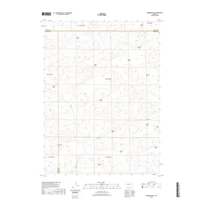
2017 Bourquim Hill
Arthur County, NE
2017 Bucktail
Arthur County, NE
2017 Bucktail Lake
Arthur County, NE
2017 Hulbert Lake
Arthur County, NE
2017 Jensen Lake
Arthur County, NE
2017 K C Lake
Arthur County, NE
2017 Lena
Arthur County, NE
2017 Lightning Valley
Arthur County, NE
2017 Packard Ranch
Arthur County, NE
2017 Spotted Horse Valley
Arthur County, NE
2017 Velma SW
Arthur County, NE
2017 Williams Ranch
Arthur County, NE
2021 Bean Soup Lake
Arthur County, NE
2021 Bear Hill
Arthur County, NE
2021 Bourquim Hill
Arthur County, NE
2021 Bucktail
Arthur County, NE
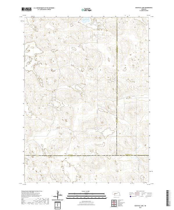
2021 Bucktail Lake
Arthur County, NE
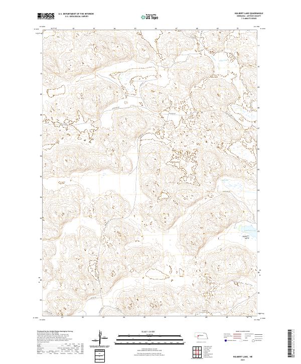
2021 Hulbert Lake
Arthur County, NE
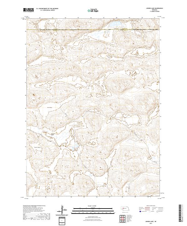
2021 Jensen Lake
Arthur County, NE
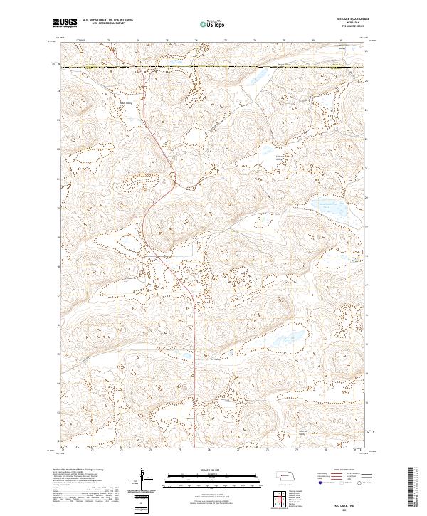
2021 K C Lake
Arthur County, NE
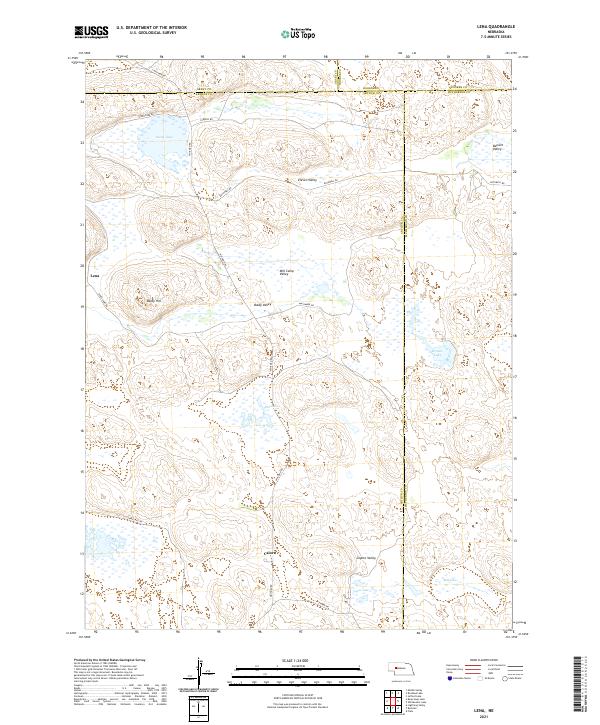
2021 Lena
Arthur County, NE
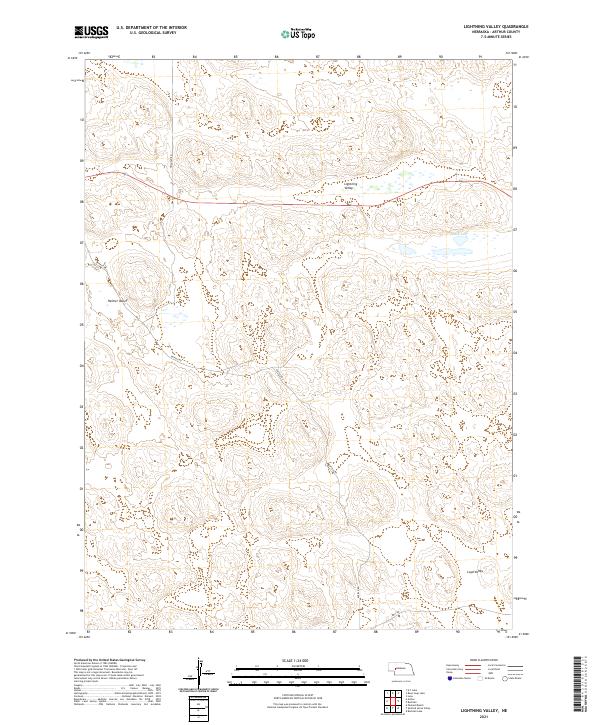
2021 Lightning Valley
Arthur County, NE
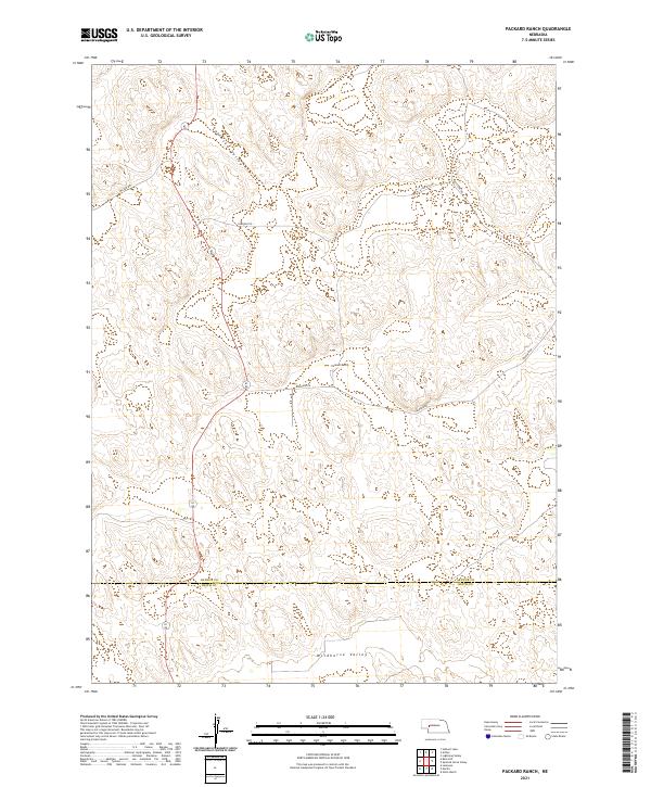
2021 Packard Ranch
Arthur County, NE
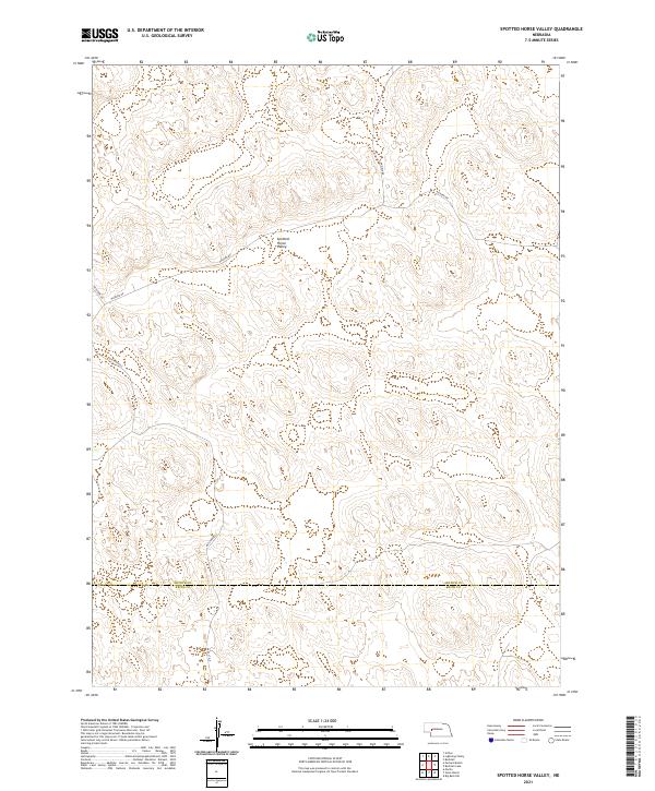
2021 Spotted Horse Valley
Arthur County, NE
2021 Velma SW
Arthur County, NE
2021 Williams Ranch
Arthur County, NE