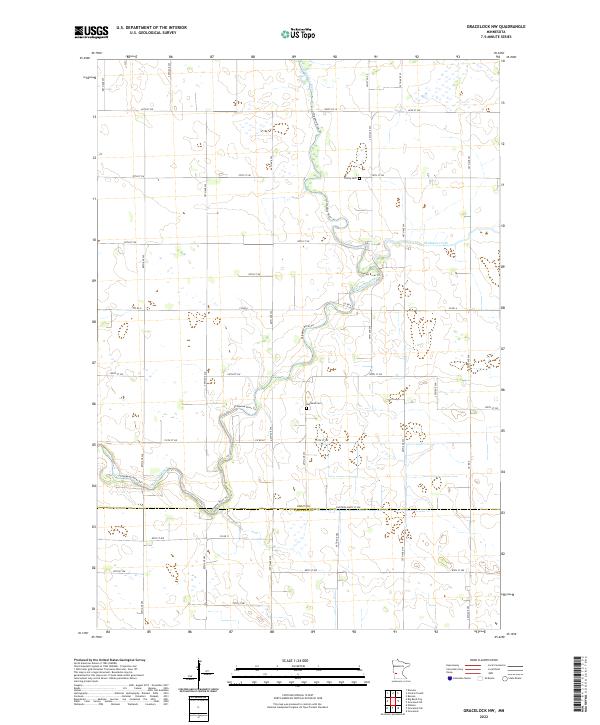
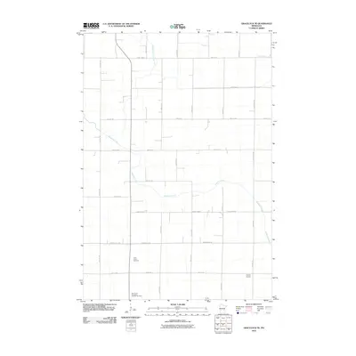
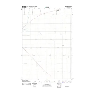
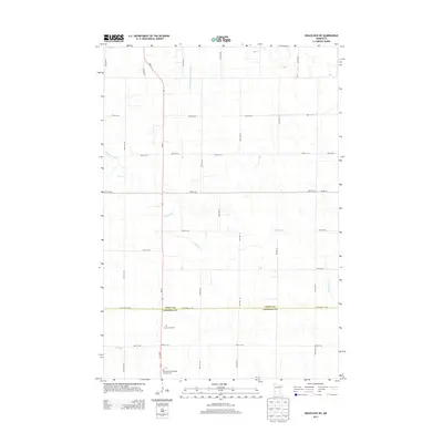
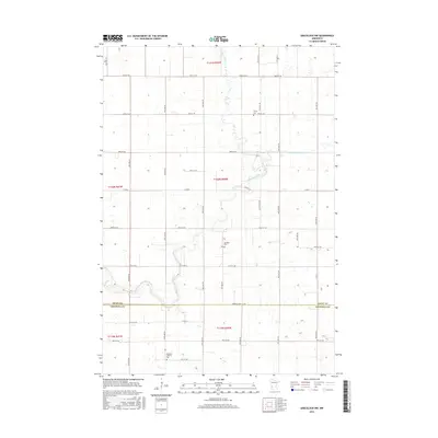
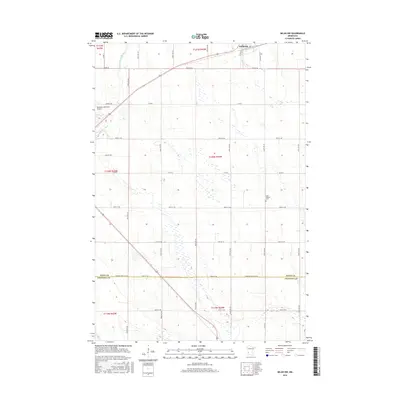
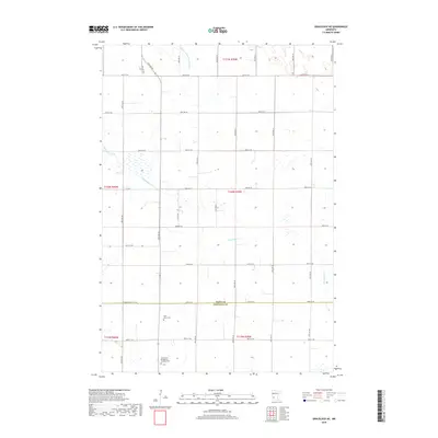
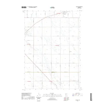
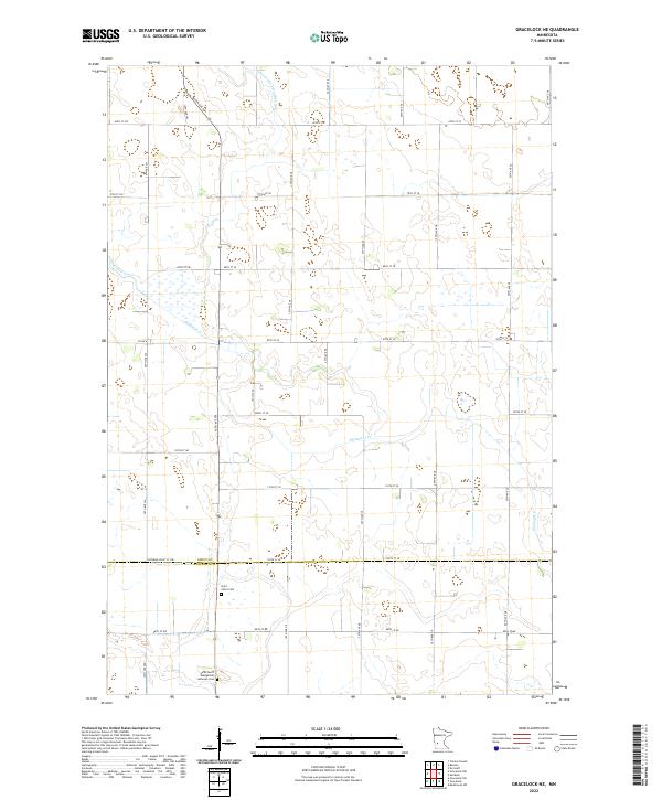
2022 Map of Gracelock NW
USGS Topo · Published 2022About this map
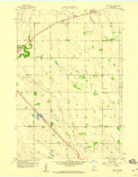
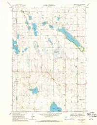
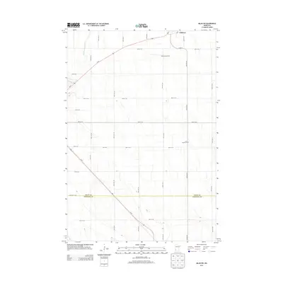
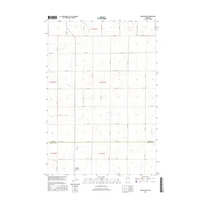
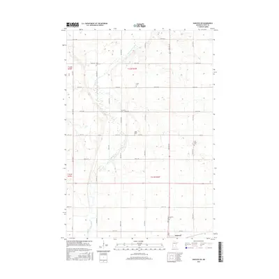
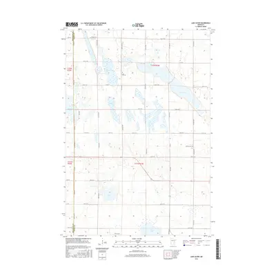
The Chippewa River meanders through this agricultural landscape, marking a prominent natural boundary in the southern portion of the quadrangle. As it flows through the prairie, the river is joined by various tributaries and is neighbored by the Shakopee Creek to the east. The terrain is characterized by a precise grid of rural roads, such as 80th Ave SW and 70th St SW, which define the section lines of the Public Land Survey System. These roads connect isolated rural homesteads and provide access to the area's small community landmarks.
Find a feature on this map
42 named features on this map. Tap any name to fly to it.
Don’t see what you’re looking for? This feature index may not catch every label — zoom into the map to look around manually.
Map Details
Editions of this 2022 Gracelock NW Map
This is the sole edition of this map. No revisions or reprints were ever made.
Historical Maps of Chippewa County Through Time
48 maps found
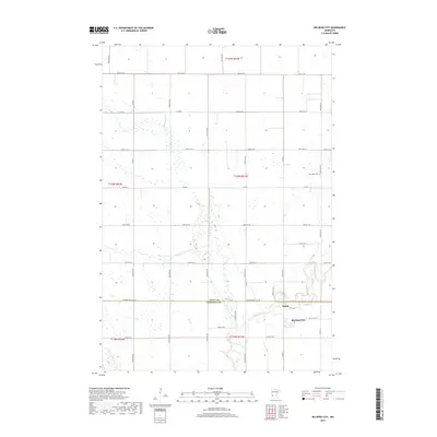
1958 Big Bend City
Swift County, MN
1958 Gracelock NE
Swift County, MN
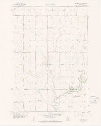
1958 Gracelock NW
Swift County, MN
1958 Milan NW
Swift County, MN
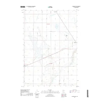
1968 Clontarf South
Swift County, MN
1968 De Graff SE
Swift County, MN
1968 Hancock SW
Swift County, MN
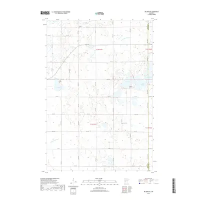
1968 Lake Oliver
Swift County, MN
2010 Big Bend City
Swift County, MN
2010 Clontarf South
Swift County, MN
2010 De Graff SE
Swift County, MN
2010 Gracelock NE
Swift County, MN
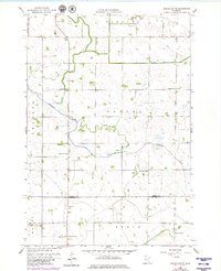
2010 Gracelock NW
Swift County, MN
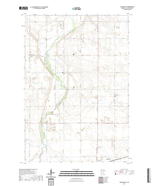
2010 Hancock SW
Swift County, MN
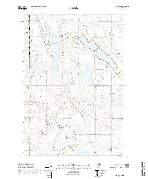
2010 Lake Oliver
Swift County, MN
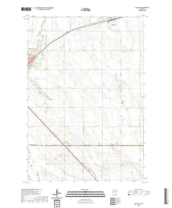
2010 Milan NW
Swift County, MN
2013 Big Bend City
Swift County, MN
2013 Clontarf South
Swift County, MN
2013 De Graff SE
Swift County, MN
2013 Gracelock NE
Swift County, MN
2013 Gracelock NW
Swift County, MN
2013 Hancock SW
Swift County, MN
2013 Lake Oliver
Swift County, MN
2013 Milan NW
Swift County, MN
2016 Big Bend City
Swift County, MN
2016 Clontarf South
Swift County, MN
2016 De Graff SE
Swift County, MN
2016 Gracelock NE
Swift County, MN
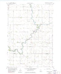
2016 Gracelock NW
Swift County, MN
2016 Hancock SW
Swift County, MN
2016 Lake Oliver
Swift County, MN
2016 Milan NW
Swift County, MN
2019 Big Bend City
Swift County, MN
2019 Clontarf South
Swift County, MN
2019 De Graff SE
Swift County, MN
2019 Gracelock NE
Swift County, MN
2019 Gracelock NW
Swift County, MN
2019 Hancock SW
Swift County, MN
2019 Lake Oliver
Swift County, MN
2019 Milan NW
Swift County, MN
2022 Big Bend City
Swift County, MN
2022 Clontarf South
Swift County, MN
2022 De Graff SE
Swift County, MN
2022 Gracelock NE
Swift County, MN
2022 Gracelock NW
Swift County, MN
2022 Hancock SW
Swift County, MN
2022 Lake Oliver
Swift County, MN
2022 Milan NW
Swift County, MN