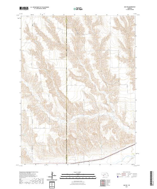
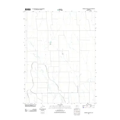
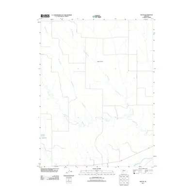
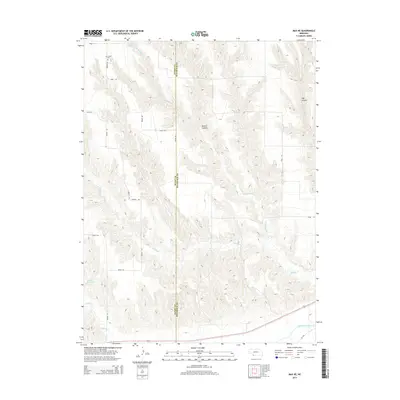
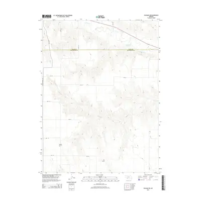
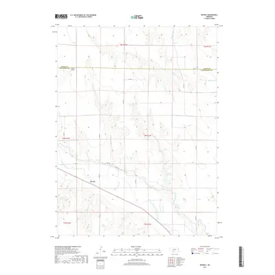
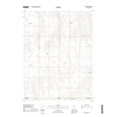
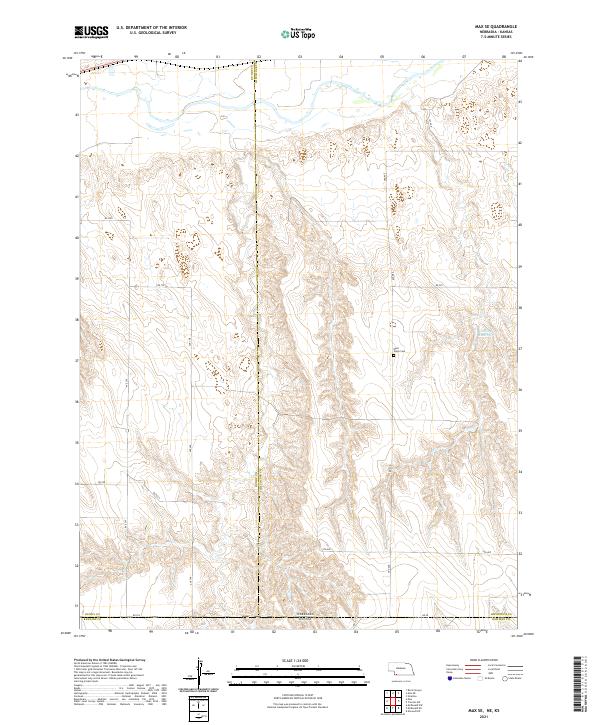
2021 Map of Max NE
USGS Topo · Published 2021About this map
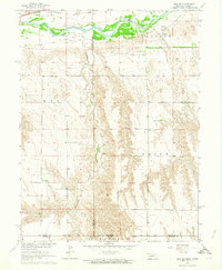
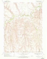
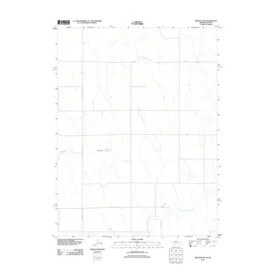
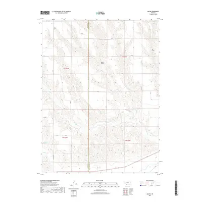
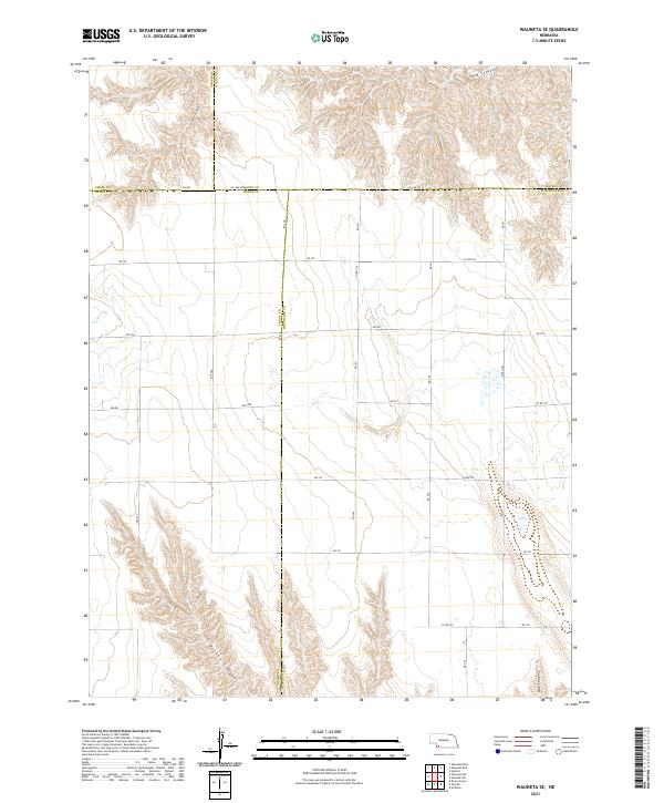
Ash Grove Cem sits on the high plains north of the Republican River valley, marking a focal point for genealogy in this corner of the Nebraska panhandle. The landscape is defined by the deep incisions of Milken Canyon and Hay Canyon, which drain toward the south. Water management and drainage are central to the geography here, evidenced by the courses of E Muddy Cr and Spring Br, alongside the presence of Gardner Reservoir. A grid of rural section roads, including the descriptively named Wash Board Rd, 348 Ave, and 717 Rd, facilitates access across the undulating terrain. This map captures the agricultural and topographical character of the Dundy and Hitchcock county line during the early twenty-first century.
Find a feature on this map
25 named features on this map. Tap any name to fly to it.
Don’t see what you’re looking for? This feature index may not catch every label — zoom into the map to look around manually.
Map Details
Editions of this 2021 Max NE Map
This is the sole edition of this map. No revisions or reprints were ever made.
Historical Maps of Dundy County Through Time
55 maps found
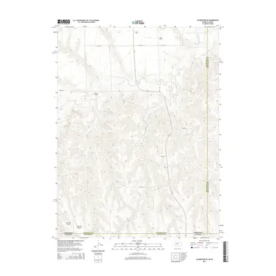
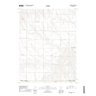
1962 Culbertson NW
Hitchcock County, NE
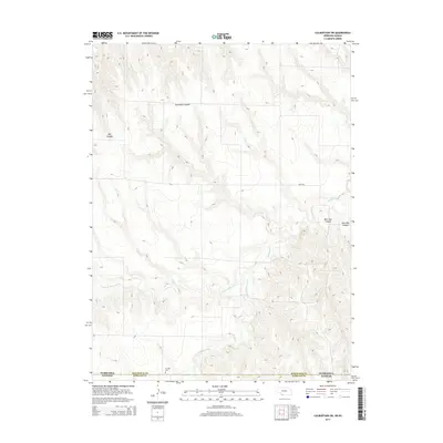
1962 Culbertson SW
Hitchcock County, NE
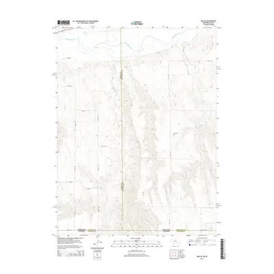
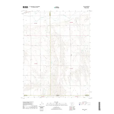
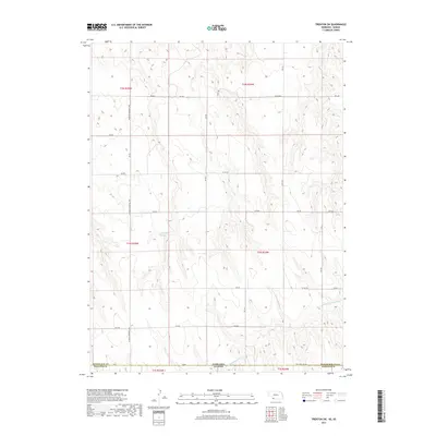
1962 Max NE
Hitchcock County, NE
1962 Max SE
Hitchcock County, NE
1962 Trenton SE
Hitchcock County, NE
1962 Trenton SW
Hitchcock County, NE
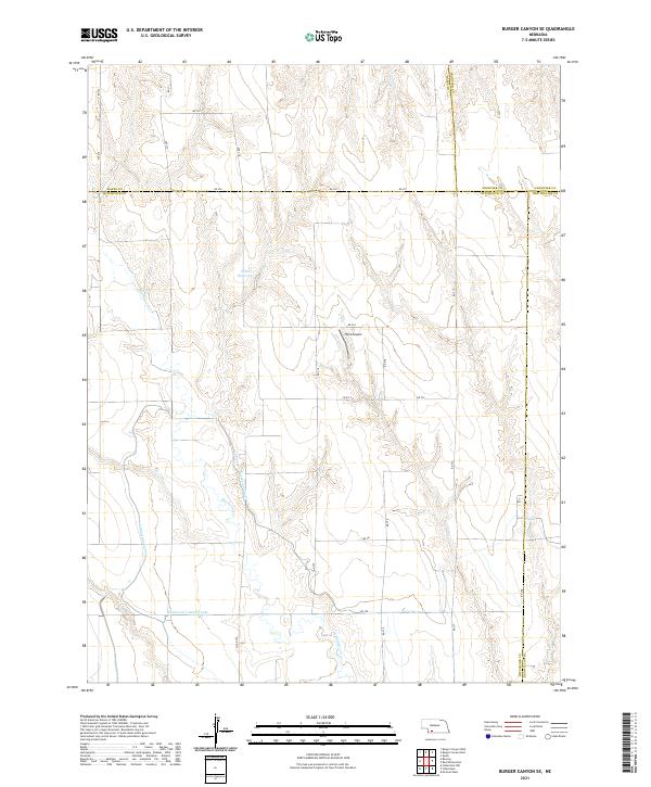
1970 Burger Canyon SE
Hitchcock County, NE
1970 Culbertson SE
Hitchcock County, NE
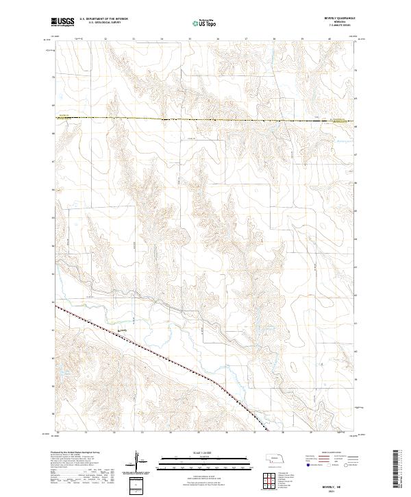
1973 Beverly
Hitchcock County, NE
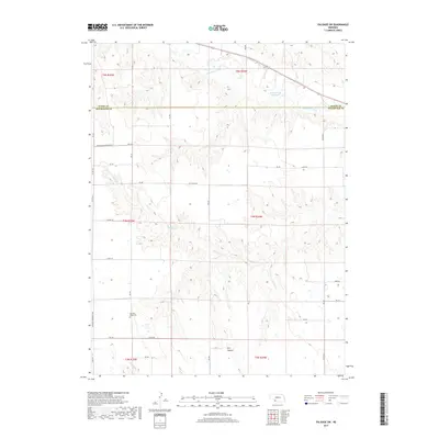
1973 Palisade SW
Hitchcock County, NE

1973 Wauneta SE
Hitchcock County, NE
2011 Beverly
Hitchcock County, NE
2011 Burger Canyon SE
Hitchcock County, NE
2011 Culbertson NW
Hitchcock County, NE
2011 Culbertson SE
Hitchcock County, NE
2011 Culbertson SW
Hitchcock County, NE
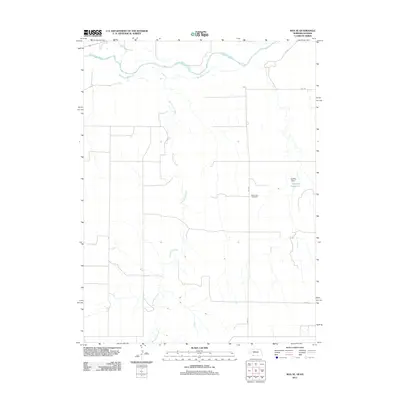
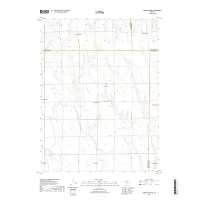
2011 Max NE
Hitchcock County, NE
2011 Max SE
Hitchcock County, NE
2011 Palisade SW
Hitchcock County, NE
2011 Trenton SE
Hitchcock County, NE
2011 Trenton SW
Hitchcock County, NE
2011 Wauneta SE
Hitchcock County, NE
2014 Beverly
Hitchcock County, NE
2014 Burger Canyon SE
Hitchcock County, NE

2014 Culbertson NW
Hitchcock County, NE
2014 Culbertson SE
Hitchcock County, NE
2014 Culbertson SW
Hitchcock County, NE
2014 Max NE
Hitchcock County, NE
2014 Max SE
Hitchcock County, NE
2014 Palisade SW
Hitchcock County, NE
2014 Trenton SE
Hitchcock County, NE
2014 Trenton SW
Hitchcock County, NE
2014 Wauneta SE
Hitchcock County, NE
2017 Beverly
Hitchcock County, NE
2017 Burger Canyon SE
Hitchcock County, NE
2017 Culbertson NW
Hitchcock County, NE
2017 Culbertson SE
Hitchcock County, NE
2017 Culbertson SW
Hitchcock County, NE
2017 Max NE
Hitchcock County, NE
2017 Max SE
Hitchcock County, NE
2017 Palisade SW
Hitchcock County, NE
2017 Trenton SE
Hitchcock County, NE
2017 Trenton SW
Hitchcock County, NE
2017 Wauneta SE
Hitchcock County, NE
2021 Beverly
Hitchcock County, NE
2021 Burger Canyon SE
Hitchcock County, NE
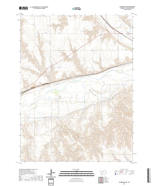
2021 Culbertson NW
Hitchcock County, NE
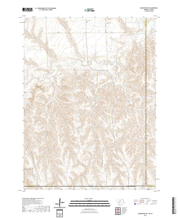
2021 Culbertson SE
Hitchcock County, NE
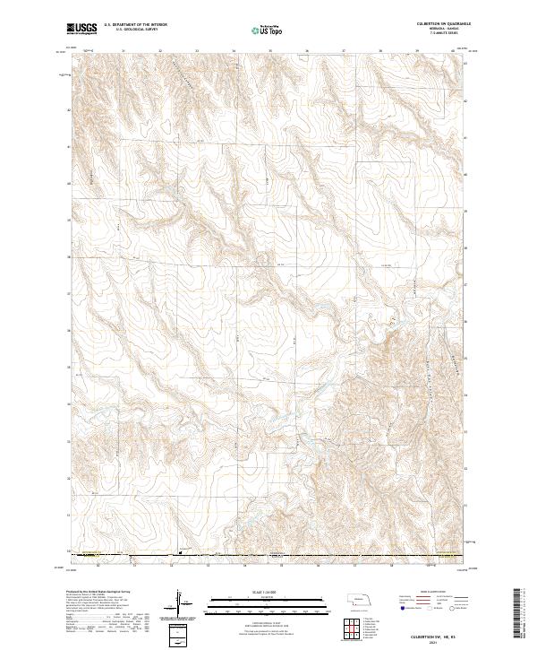
2021 Culbertson SW
Hitchcock County, NE
2021 Max NE
Hitchcock County, NE
2021 Max SE
Hitchcock County, NE
2021 Palisade SW
Hitchcock County, NE
2021 Trenton SE
Hitchcock County, NE
2021 Trenton SW
Hitchcock County, NE
2021 Wauneta SE
Hitchcock County, NE