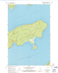
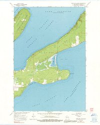
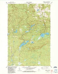
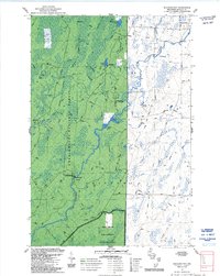
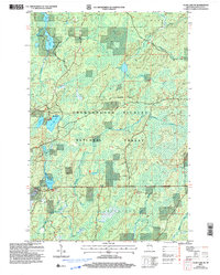
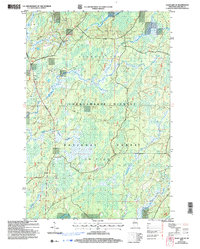
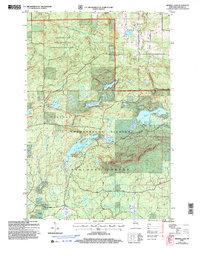
2022 Map of Mineral Lake
USGS Topo · Published 2022About this map
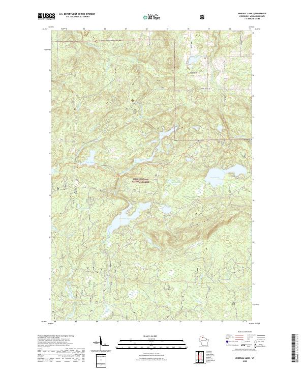
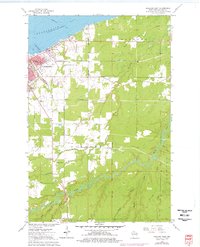
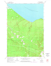
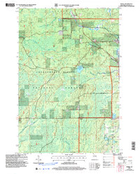
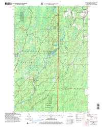
Chequamegon National Forest dominates this northern Wisconsin landscape, characterized by a complex network of glacial lakes and waterways within the Gogebic Range. The Brunsweiler River snakes through the northern sections, while the long-distance North Country National Scenic Trl provides a pedestrian corridor through the timberland. Notable water bodies such as Mineral Lake, English Lake, and Lake Three are connected by numerous small creeks including Hell Hole Cr and Toskis Cr. The mapping of these drainages, like Comp Six Cr and Edies Cr, reveals the intricate hydrologic patterns of the Ashland County forest. A sparse network of forest roads, including Bass Lake Rd and N York Rd, provides the only vehicular access to these remote wetlands and secluded basins.
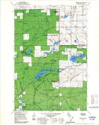
Find a feature on this map
35 named features on this map. Tap any name to fly to it.
Don’t see what you’re looking for? This feature index may not catch every label — zoom into the map to look around manually.
Map Details
Editions of this 2022 Mineral Lake Map
This is the sole edition of this map. No revisions or reprints were ever made.
Historical Maps of Marengo Through Time
59 maps found
1956 Mt. Whittlesey
Ashland County, WI
1963 Bear Island
Ashland County, WI
1963 Cat Island
Ashland County, WI
1963 Michigan Island
Ashland County, WI
1963 Oak Island
Ashland County, WI
1963 Outer Island
Ashland County, WI
1963 Outer Island
Ashland County, WI
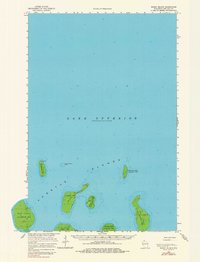
1963 Rocky Island
Ashland County, WI
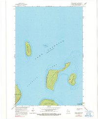
1963 Rocky Island
Ashland County, WI
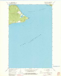
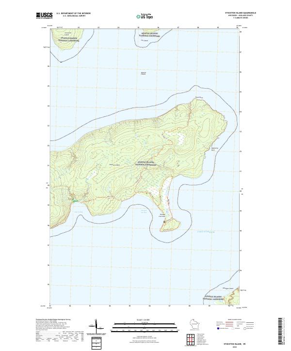
1963 Stockton Island
Ashland County, WI
1964 Amnicon Point
Ashland County, WI
1964 Ashland East
Ashland County, WI
1964 Cedar
Ashland County, WI
1964 Chequamegon Point
Ashland County, WI
1964 Madeline Island
Ashland County, WI
1964 Madeline Island
Ashland County, WI
1967 Marengo SE
Ashland County, WI
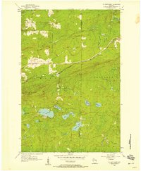
1967 Mt. Whittlesey
Ashland County, WI

1971 Clam Lake NE
Ashland County, WI
1971 Clam Lake SE
Ashland County, WI

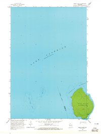
1978 Outer Island
Ashland County, WI

1984 Augustine Lake
Ashland County, WI

1984 Gurney
Ashland County, WI

1984 Hay Creek Flowage
Ashland County, WI

1984 High Bridge
Ashland County, WI
1984 Mineral Lake
Ashland County, WI

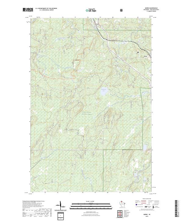
1984 Morse
Ashland County, WI

1984 Peeksville
Ashland County, WI
1984 Shanagolden
Ashland County, WI

1990 Outer Island
Ashland County, WI
2005 Clam Lake NE
Ashland County, WI
2005 Clam Lake SE
Ashland County, WI
2005 Mineral Lake
Ashland County, WI
2005 Morse
Ashland County, WI
2005 Shanagolden
Ashland County, WI
2022 Amnicon Point
Ashland County, WI
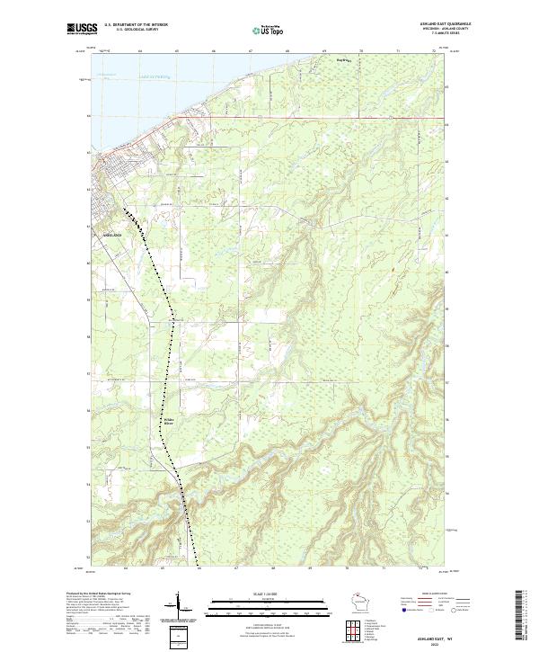
2022 Ashland East
Ashland County, WI
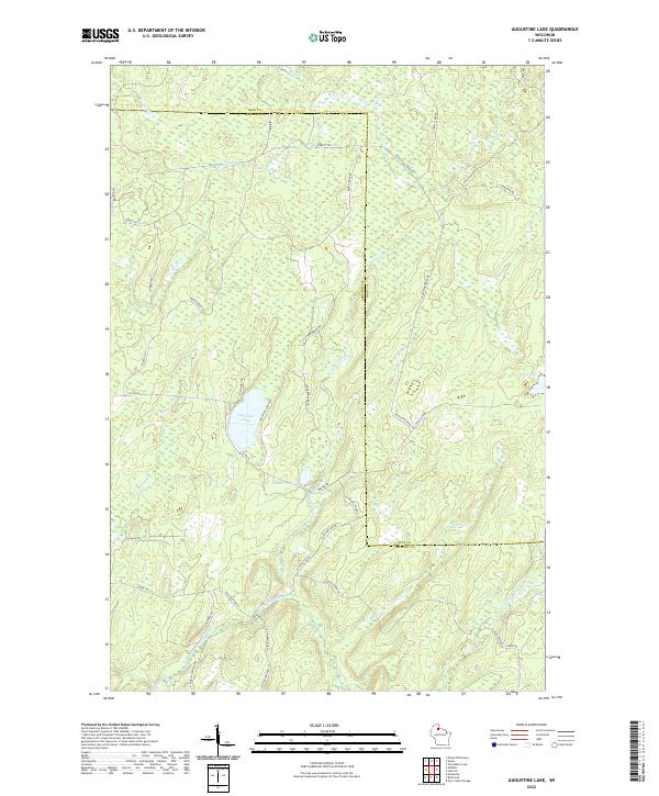
2022 Augustine Lake
Ashland County, WI
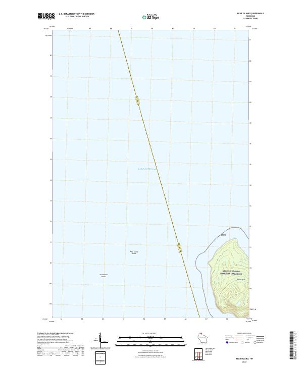
2022 Bear Island
Ashland County, WI
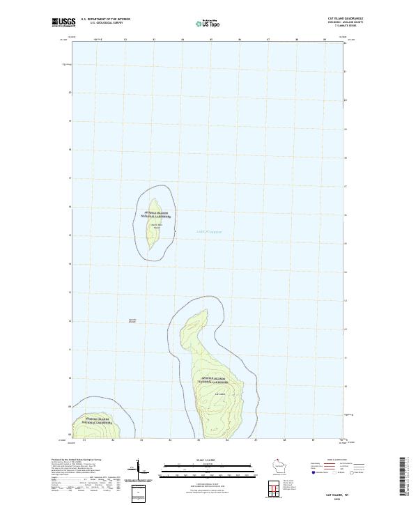
2022 Cat Island
Ashland County, WI
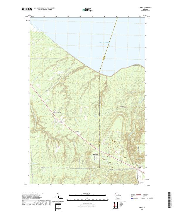
2022 Cedar
Ashland County, WI
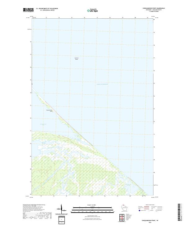
2022 Chequamegon Point
Ashland County, WI
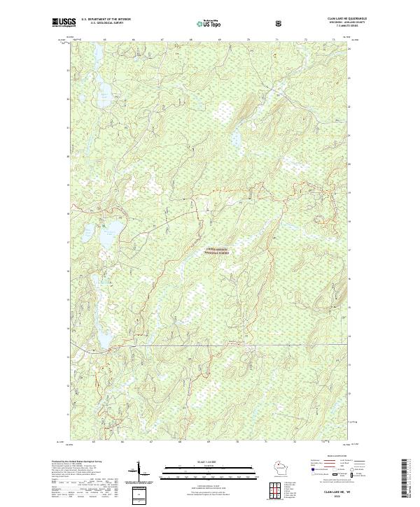
2022 Clam Lake NE
Ashland County, WI
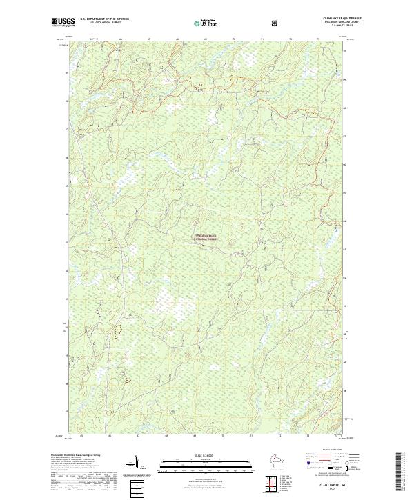
2022 Clam Lake SE
Ashland County, WI
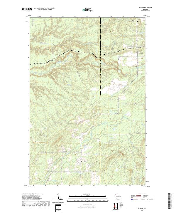
2022 Gurney
Ashland County, WI
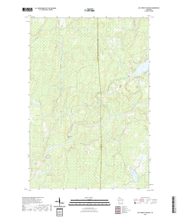
2022 Hay Creek Flowage
Ashland County, WI
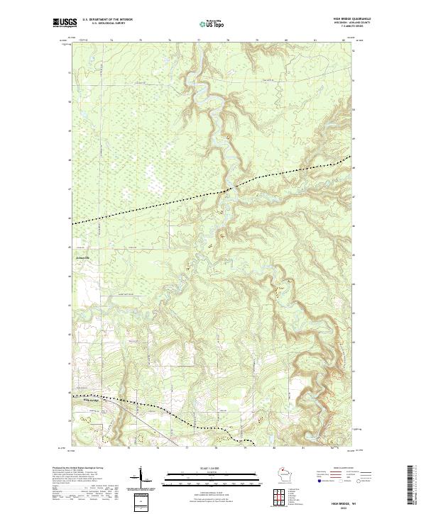
2022 High Bridge
Ashland County, WI
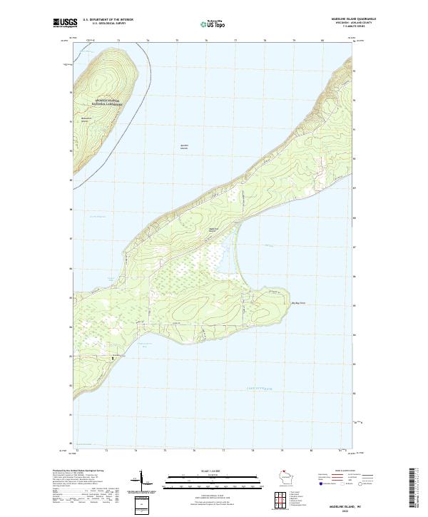
2022 Madeline Island
Ashland County, WI
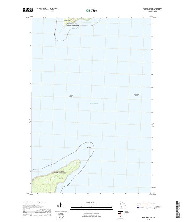
2022 Michigan Island
Ashland County, WI
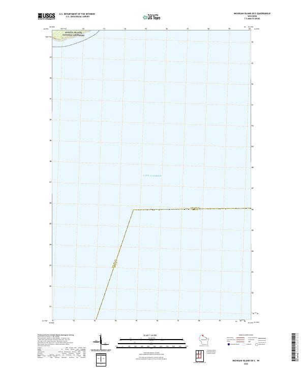
2022 Michigan Island OE S
Ashland County, WI
2022 Mineral Lake
Ashland County, WI
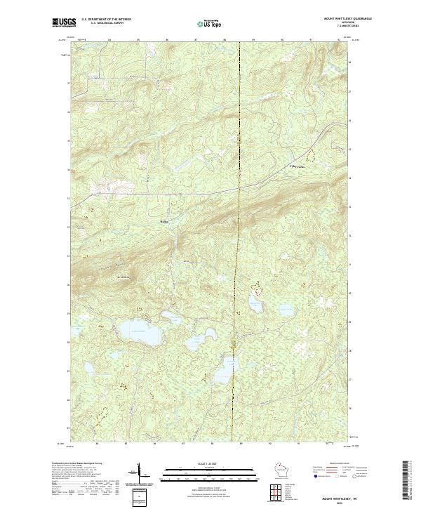
2022 Mount Whittlesey
Ashland County, WI
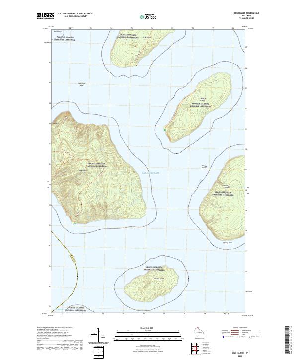
2022 Oak Island
Ashland County, WI
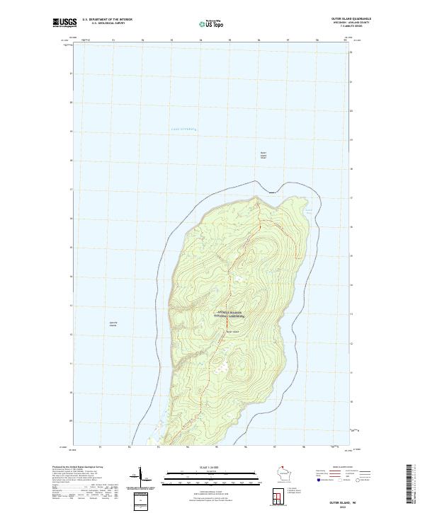
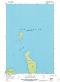
2022 Outer Island
Ashland County, WI
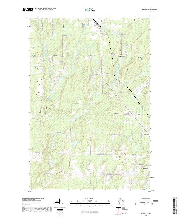
2022 Peeksville
Ashland County, WI
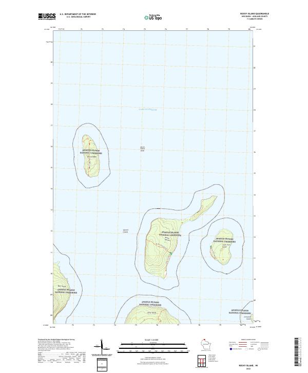
2022 Rocky Island
Ashland County, WI
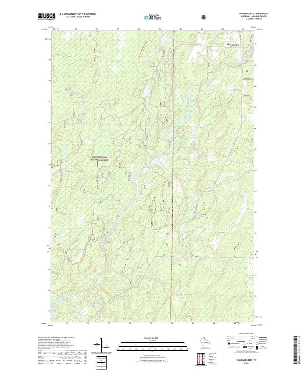
2022 Shanagolden
Ashland County, WI
2022 Stockton Island
Ashland County, WI
2023 Morse
Ashland County, WI