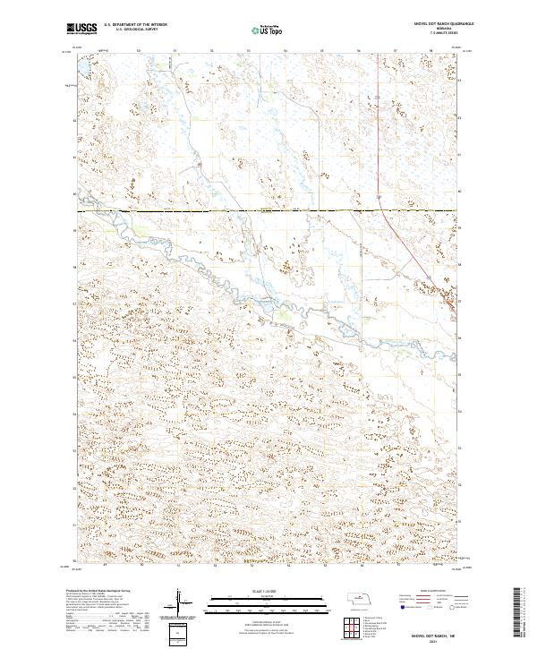
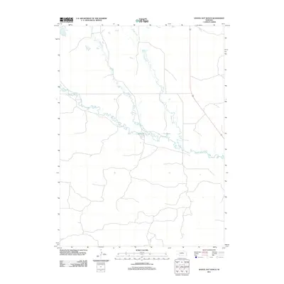
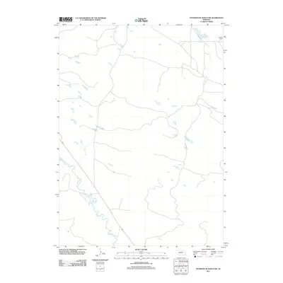
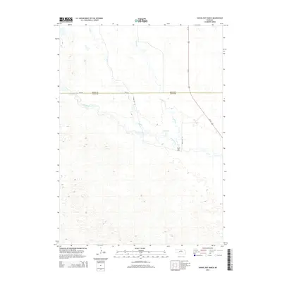
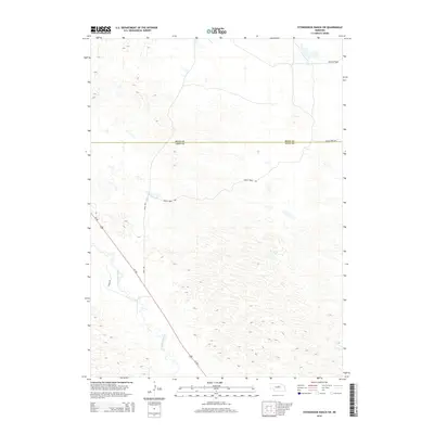
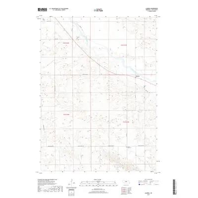
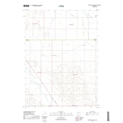
2021 Map of Shovel Dot Ranch
USGS Topo · Published 2021About this map
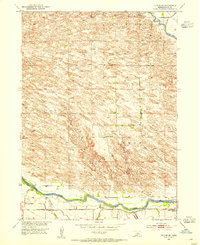
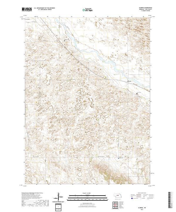
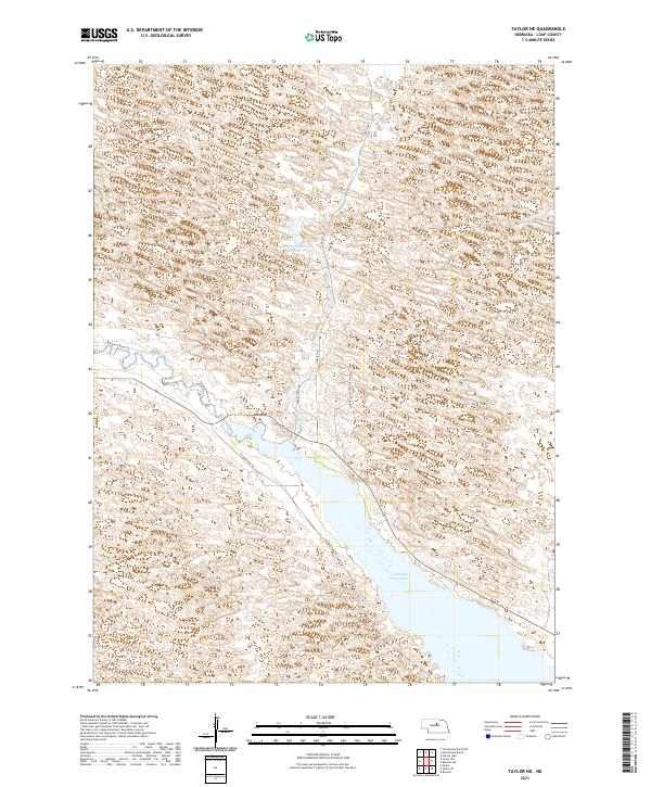
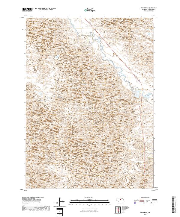
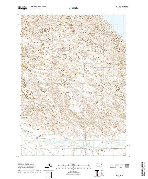
The Calamus River meanders across this landscape in Loup County, defining a riparian corridor marked by wetland features like Fox Bayou. This contemporary survey shows a transition in terrain from the river valley into the surrounding hills, where smaller watercourses such as Skull Cr and Bloody Cr drain the uplands. The road network is sparse, consisting of rural routes like 846 Rd and Freedom Ave, which follow the township and range lines typical of Nebraska's public land survey system. The presence of the Calamus River Trl and Shovel Dot Rd highlights the ranching character of the region, providing access through the expansive Sandhills environment. This map illustrates the intersection of Rock County and Loup County, where historical land divisions continue to shape the modern cattle-ranching landscape.
Find a feature on this map
15 named features on this map. Tap any name to fly to it.
Don’t see what you’re looking for? This feature index may not catch every label — zoom into the map to look around manually.
Map Details
Editions of this 2021 Shovel Dot Ranch Map
This is the sole edition of this map. No revisions or reprints were ever made.
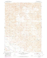
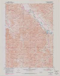
Historical Maps of Rock County Through Time
40 maps found
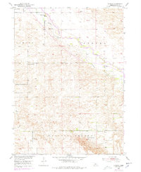
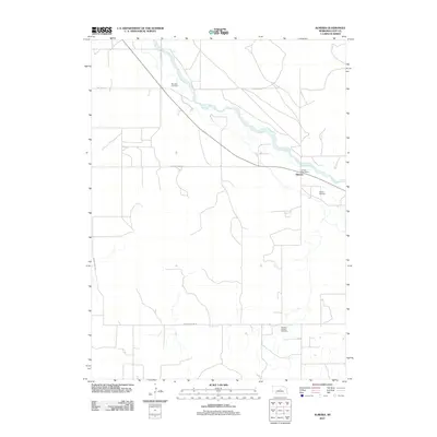
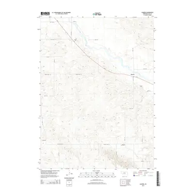
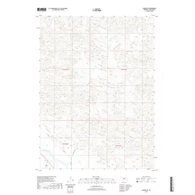
1952 Almeria
Loup County, NE
1952 Almeria NE
Loup County, NE

1952 Taylor NE
Loup County, NE
1952 Taylor NW
Loup County, NE
1952 Taylor SE
Loup County, NE
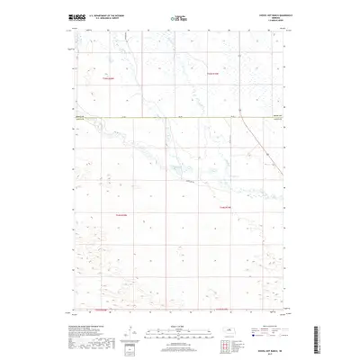
1981 Shovel Dot Ranch
Loup County, NE
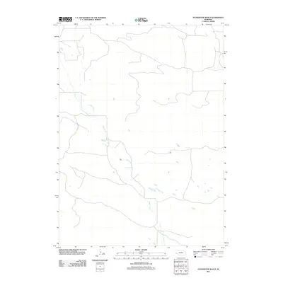
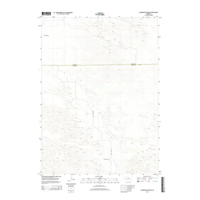
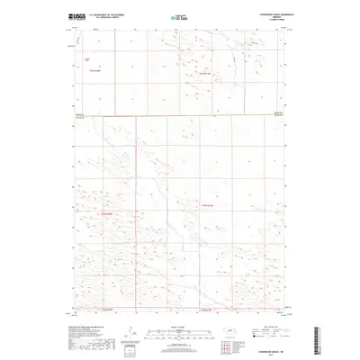
1981 Stonehouse Ranch
Loup County, NE
1981 Stonehouse Ranch SW
Loup County, NE
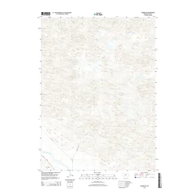
2011 Almeria
Loup County, NE
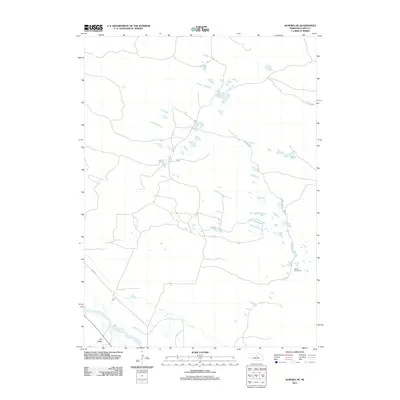
2011 Almeria NE
Loup County, NE
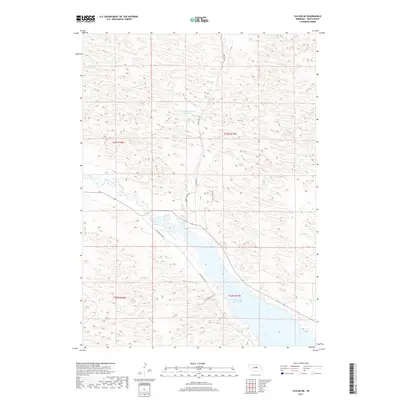
2011 Shovel Dot Ranch
Loup County, NE
2011 Stonehouse Ranch
Loup County, NE
2011 Stonehouse Ranch SW
Loup County, NE
2011 Taylor NE
Loup County, NE
2011 Taylor NW
Loup County, NE
2011 Taylor SE
Loup County, NE
2014 Almeria
Loup County, NE
2014 Almeria NE
Loup County, NE
2014 Shovel Dot Ranch
Loup County, NE
2014 Stonehouse Ranch
Loup County, NE
2014 Stonehouse Ranch SW
Loup County, NE
2014 Taylor NE
Loup County, NE
2014 Taylor NW
Loup County, NE
2014 Taylor SE
Loup County, NE
2017 Almeria
Loup County, NE
2017 Almeria NE
Loup County, NE
2017 Shovel Dot Ranch
Loup County, NE
2017 Stonehouse Ranch
Loup County, NE
2017 Stonehouse Ranch SW
Loup County, NE
2017 Taylor NE
Loup County, NE
2017 Taylor NW
Loup County, NE
2017 Taylor SE
Loup County, NE
2021 Almeria
Loup County, NE
2021 Almeria NE
Loup County, NE
2021 Shovel Dot Ranch
Loup County, NE
2021 Stonehouse Ranch
Loup County, NE
2021 Stonehouse Ranch SW
Loup County, NE
2021 Taylor NE
Loup County, NE
2021 Taylor NW
Loup County, NE
2021 Taylor SE
Loup County, NE