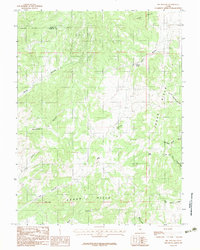
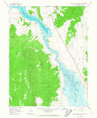
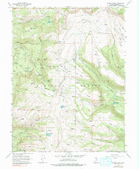
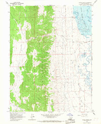
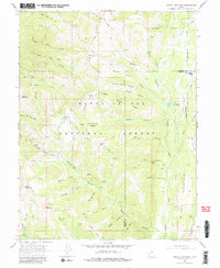
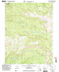
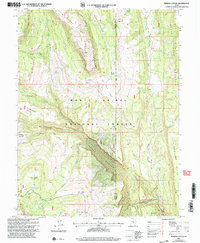
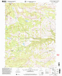
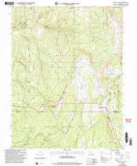
1983 Map of Big Hollow
USGS Topo · Published 1983This historical map portrays the area of Big Hollow in 1983, primarily covering Sanpete County as well as portions of Juab County. Featuring a scale of 1:24000, this map provides a highly detailed snapshot of the terrain, roads, buildings, counties, and historical landmarks in the Big Hollow region at the time. Published in 1983, it is one of 2 known editions of this map due to revisions or reprints.
Find a feature on this map
17 named features on this map. Tap any name to fly to it.
Don’t see what you’re looking for? This feature index may not catch every label — zoom into the map to look around manually.
Map Details
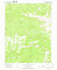
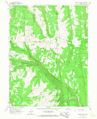
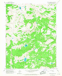
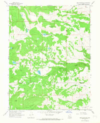
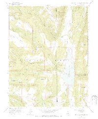
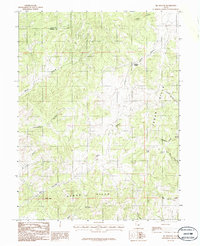
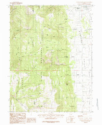
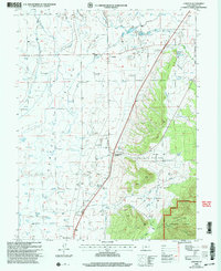
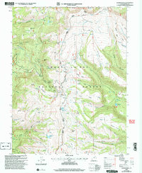
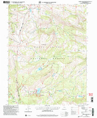
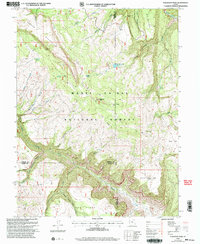
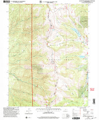
Editions of this 1983 Big Hollow Map
2 editions found
Historical Maps of Juab County Through Time
33 maps found

1922 Wasatch
Sanpete County, UT
1965 Black Mountain
Sanpete County, UT
1965 Fairview Lakes
Sanpete County, UT
1965 Hells Kitchen Canyon SE
Sanpete County, UT
1965 Hells Kitchen Canyon SW
Sanpete County, UT
1965 Huntington Reservoir
Sanpete County, UT
1965 Woods Lake
Sanpete County, UT
1966 Chester
Sanpete County, UT
1966 Danish Knoll
Sanpete County, UT
1966 Ferron Canyon
Sanpete County, UT
1966 Ferron Reservoir
Sanpete County, UT
1966 Flagstaff Peak
Sanpete County, UT
1966 Hayes Canyon
Sanpete County, UT
1966 Heliotrope Mtn
Sanpete County, UT
1966 Joes Valley Reservoir
Sanpete County, UT
1966 Redmond Canyon
Sanpete County, UT
1966 South Tent Mountain
Sanpete County, UT
1983 Big Hollow
Sanpete County, UT
1983 Fountain Green South
Sanpete County, UT
1983 Moroni Gap
Sanpete County, UT
2001 Black Mountain
Sanpete County, UT
2001 Chester
Sanpete County, UT
2001 Danish Knoll
Sanpete County, UT
2001 Fairview Lakes
Sanpete County, UT
2001 Ferron Canyon
Sanpete County, UT
2001 Ferron Reservoir
Sanpete County, UT
2001 Flagstaff Peak
Sanpete County, UT
2001 Fountain Green South
Sanpete County, UT
2001 Heliotrope Mountain
Sanpete County, UT
2001 Huntington Reservoir
Sanpete County, UT
2001 Joes Valley Reservoir
Sanpete County, UT
2001 South Tent Mountain
Sanpete County, UT
2001 Woods Lake
Sanpete County, UT