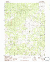
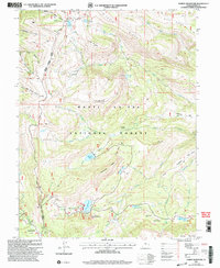
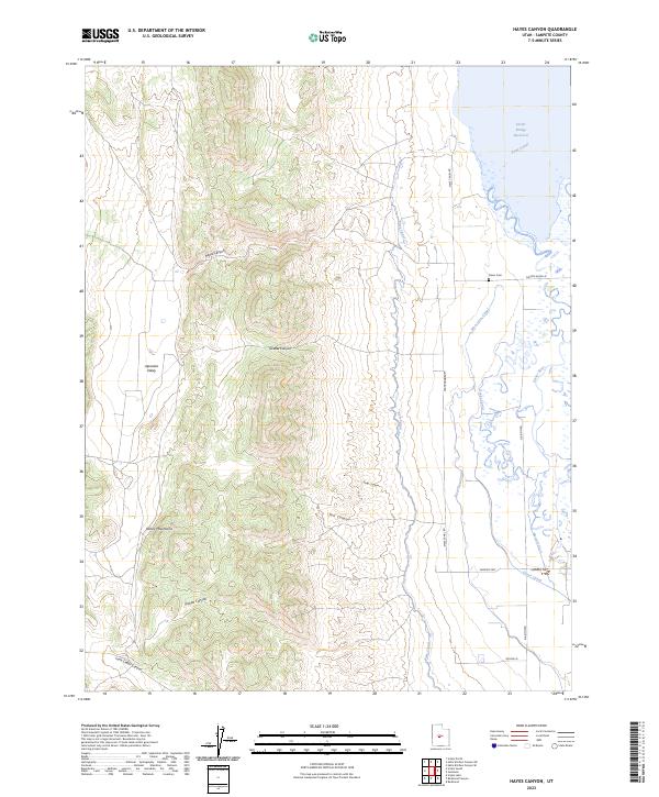
1966 Map of Hayes Canyon
USGS Topo · Published 1968About this map
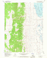
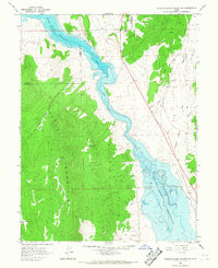
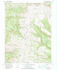
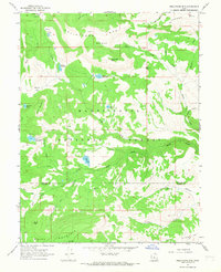
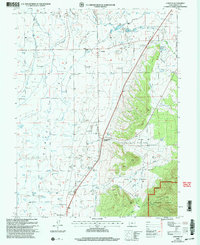
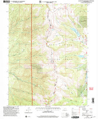
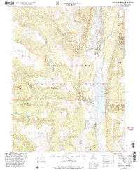
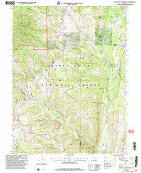
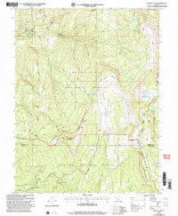
The Sevier Bridge Reservoir dominates the northeastern corner of this Sanpete County landscape, where the Sevier River meanders through a complex network of irrigation infrastructure. This 1960s survey captures a transition point between the steep western terrain of Japanese Valley and the agricultural flats to the east. A dense system of waterways, including the Piute Canal, Dover Canal, and Metcalf Ditch, illustrates the intensive water management required for regional ranching and farming.
Find a feature on this map
26 named features on this map. Tap any name to fly to it.
Don’t see what you’re looking for? This feature index may not catch every label — zoom into the map to look around manually.
Map Details
Editions of this 1966 Hayes Canyon Map
This is the sole edition of this map. No revisions or reprints were ever made.
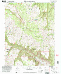
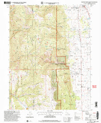
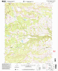
Historical Maps of Sanpete County Through Time
51 maps found

1922 Wasatch
Sanpete County, UT
1965 Black Mountain
Sanpete County, UT
1965 Fairview Lakes
Sanpete County, UT
1965 Hells Kitchen Canyon SE
Sanpete County, UT
1965 Hells Kitchen Canyon SW
Sanpete County, UT
1965 Huntington Reservoir
Sanpete County, UT
1965 Woods Lake
Sanpete County, UT
1966 Chester
Sanpete County, UT
1966 Danish Knoll
Sanpete County, UT
1966 Ferron Canyon
Sanpete County, UT
1966 Ferron Reservoir
Sanpete County, UT
1966 Flagstaff Peak
Sanpete County, UT
1966 Hayes Canyon
Sanpete County, UT
1966 Heliotrope Mtn
Sanpete County, UT
1966 Joes Valley Reservoir
Sanpete County, UT
1966 Redmond Canyon
Sanpete County, UT
1966 South Tent Mountain
Sanpete County, UT
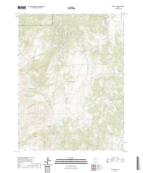
1983 Big Hollow
Sanpete County, UT
1983 Fountain Green South
Sanpete County, UT
1983 Moroni Gap
Sanpete County, UT
2001 Black Mountain
Sanpete County, UT
2001 Chester
Sanpete County, UT
2001 Danish Knoll
Sanpete County, UT
2001 Fairview Lakes
Sanpete County, UT
2001 Ferron Canyon
Sanpete County, UT
2001 Ferron Reservoir
Sanpete County, UT
2001 Flagstaff Peak
Sanpete County, UT
2001 Fountain Green South
Sanpete County, UT
2001 Heliotrope Mountain
Sanpete County, UT
2001 Huntington Reservoir
Sanpete County, UT
2001 Joes Valley Reservoir
Sanpete County, UT
2001 South Tent Mountain
Sanpete County, UT
2001 Woods Lake
Sanpete County, UT
2023 Big Hollow
Sanpete County, UT
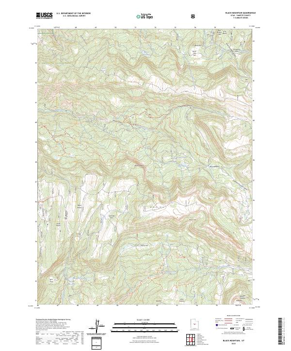
2023 Black Mountain
Sanpete County, UT
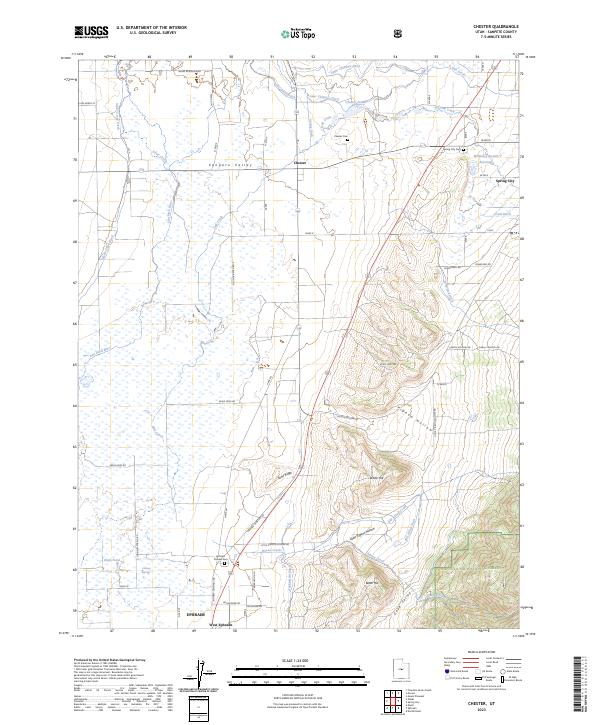
2023 Chester
Sanpete County, UT
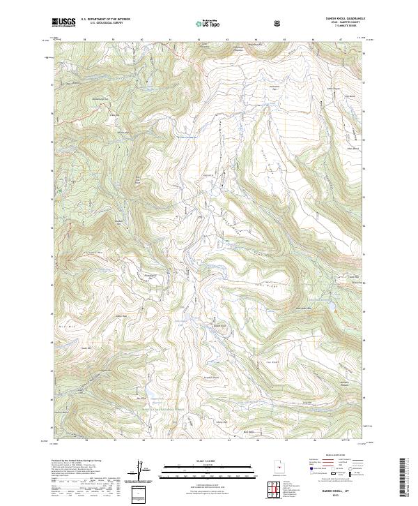
2023 Danish Knoll
Sanpete County, UT
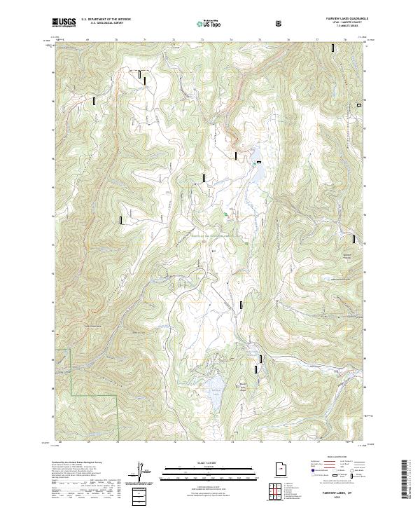
2023 Fairview Lakes
Sanpete County, UT
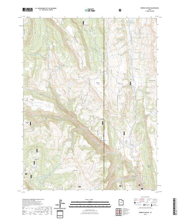
2023 Ferron Canyon
Sanpete County, UT
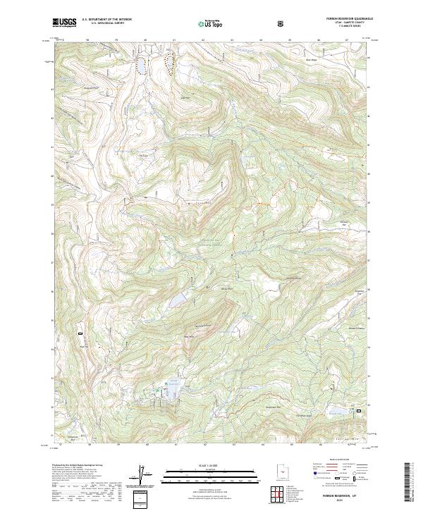
2023 Ferron Reservoir
Sanpete County, UT
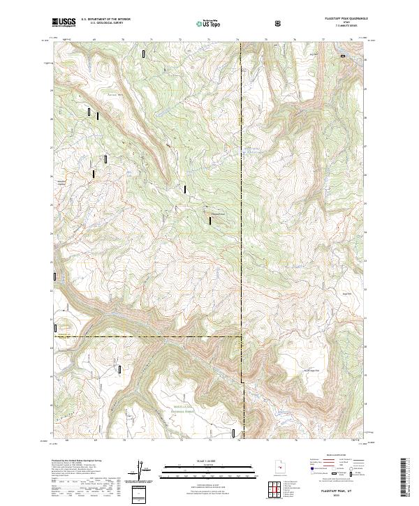
2023 Flagstaff Peak
Sanpete County, UT
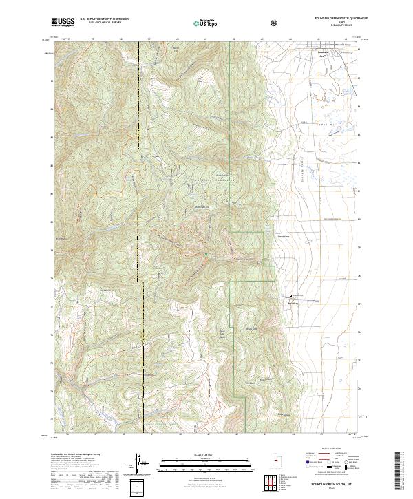
2023 Fountain Green South
Sanpete County, UT
2023 Hayes Canyon
Sanpete County, UT
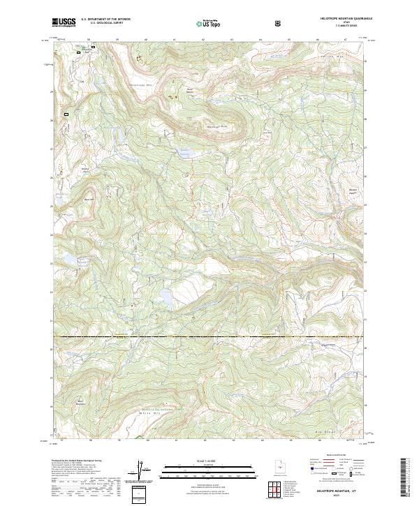
2023 Heliotrope Mountain
Sanpete County, UT
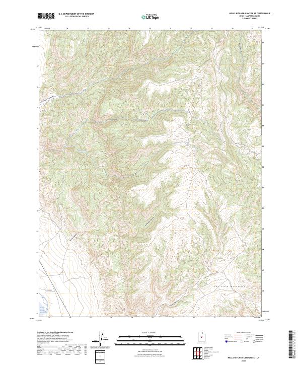
2023 Hells Kitchen Canyon SE
Sanpete County, UT
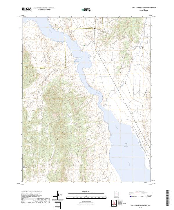
2023 Hells Kitchen Canyon SW
Sanpete County, UT
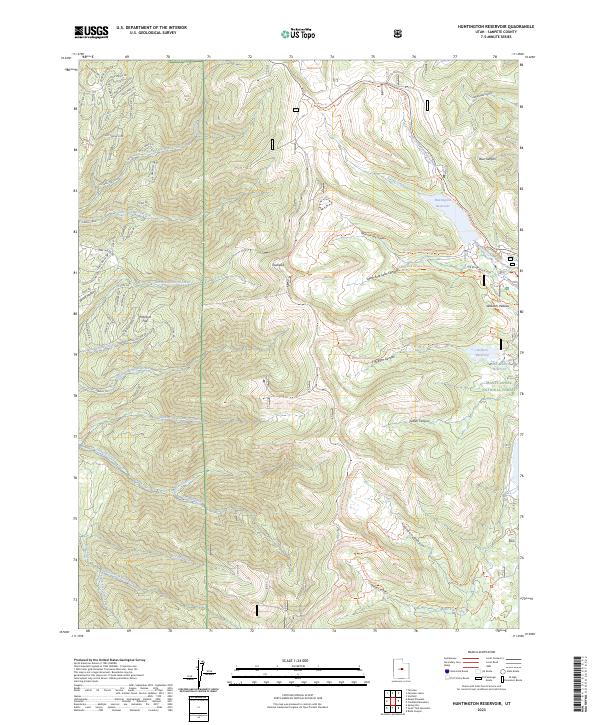
2023 Huntington Reservoir
Sanpete County, UT
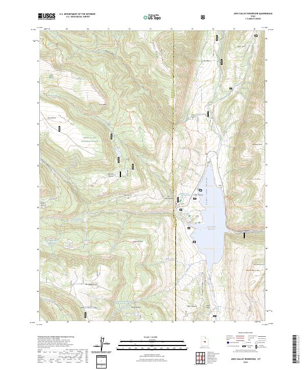
2023 Joes Valley Reservoir
Sanpete County, UT
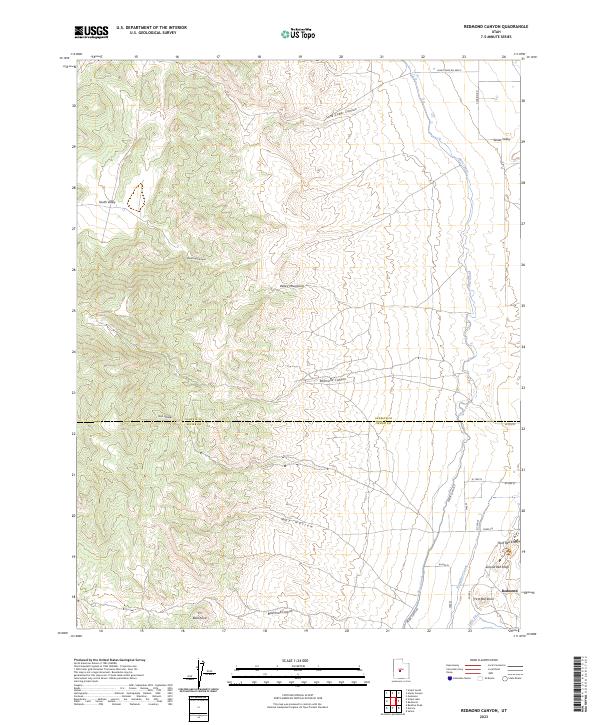
2023 Redmond Canyon
Sanpete County, UT
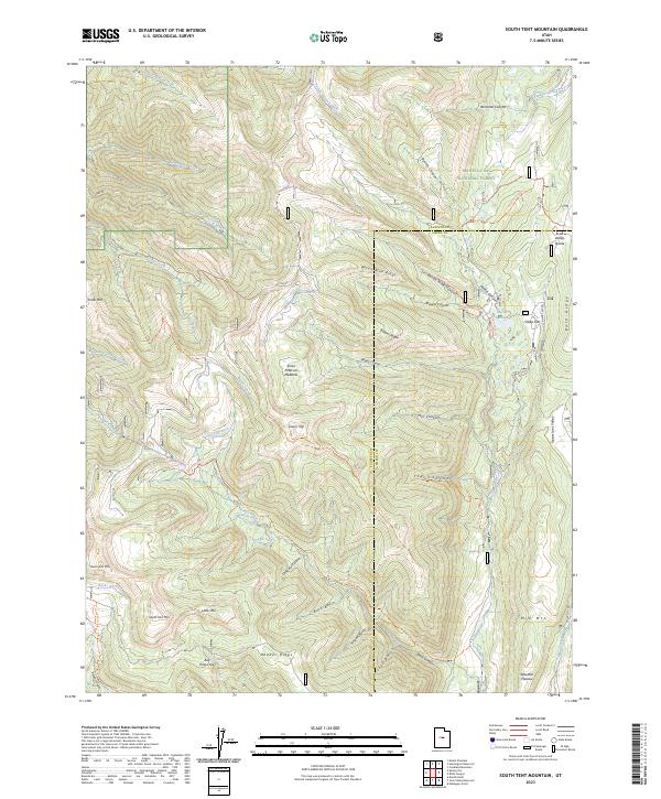
2023 South Tent Mountain
Sanpete County, UT
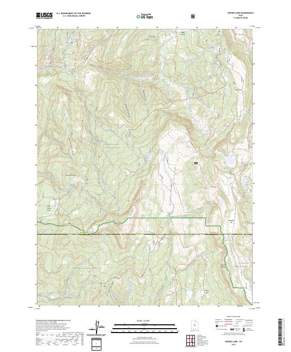
2023 Woods Lake
Sanpete County, UT