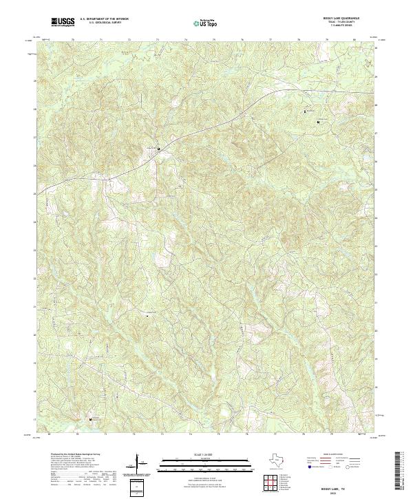
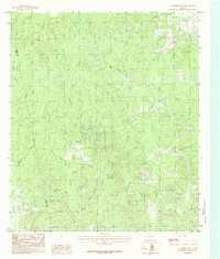
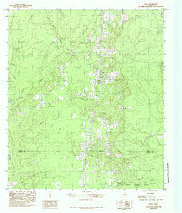
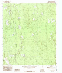
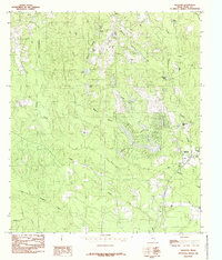
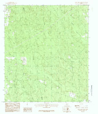
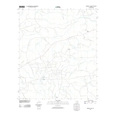
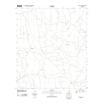
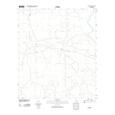
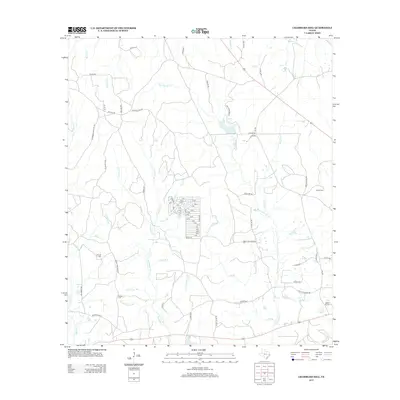
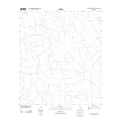
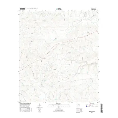
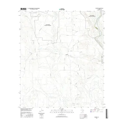
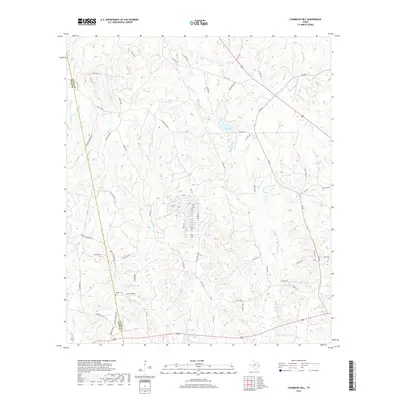
2022 Map of Boggy Lake
USGS Topo · Published 2022About this map
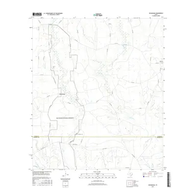
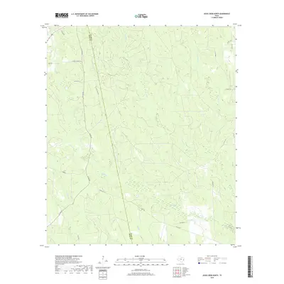
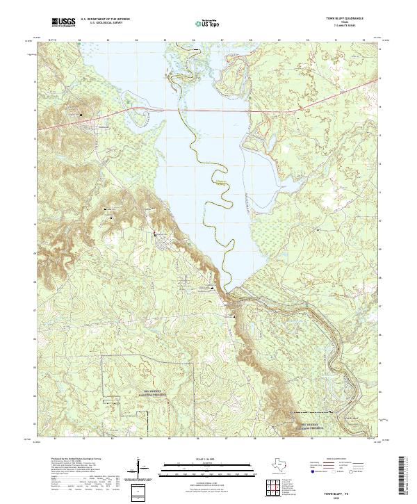
The dense creek networks of East Texas define the landscape of Tyler County, where narrow waterways like Tompkins Mill Creek and Boggy Br carve through the wooded terrain. This 2022 survey captures a rural landscape characterized by legacy family landholdings and small cemeteries, such as Gregory Cem and Davis Cem, which remain as quiet indicators of the area's ancestral roots.
Find a feature on this map
66 named features on this map. Tap any name to fly to it.
Don’t see what you’re looking for? This feature index may not catch every label — zoom into the map to look around manually.
Map Details
Editions of this 2022 Boggy Lake Map
This is the sole edition of this map. No revisions or reprints were ever made.
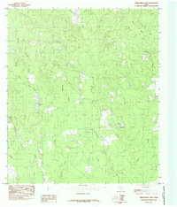
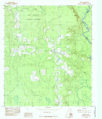
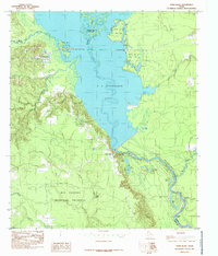
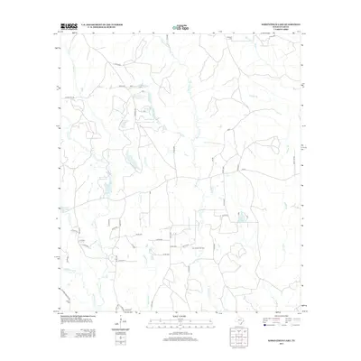
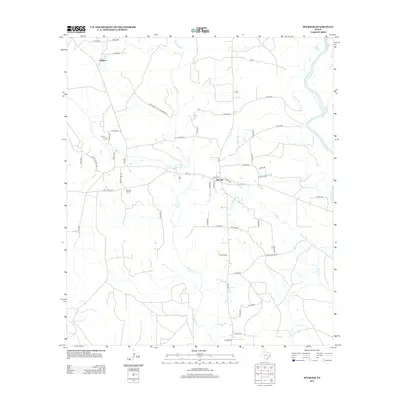
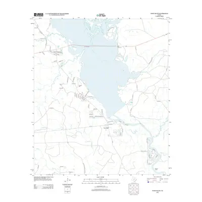
Historical Maps of Tyler County Through Time
61 maps found
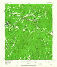
1955 Camden
Tyler County, TX
1958 Spurger
Tyler County, TX
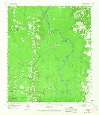
1984 Boggy Lake
Tyler County, TX
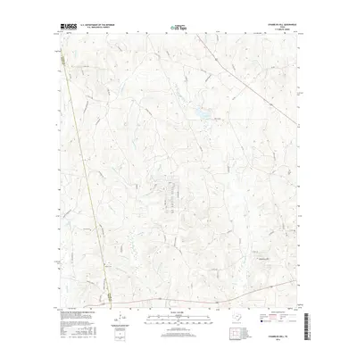
1984 Chambliss Hill
Tyler County, TX
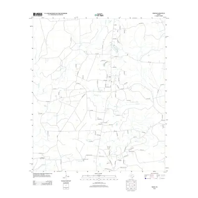
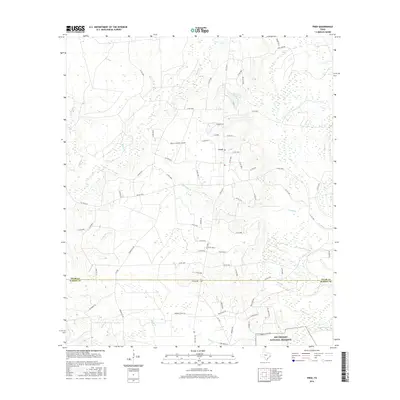
1984 Fred
Tyler County, TX
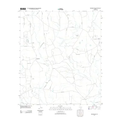
1984 Hicksbaugh
Tyler County, TX
1984 Hillister
Tyler County, TX
1984 Jacks Creek North
Tyler County, TX
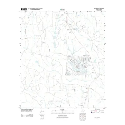
1984 Kirkpatrick Lake
Tyler County, TX
1984 Spurger
Tyler County, TX
1984 Town Bluff
Tyler County, TX
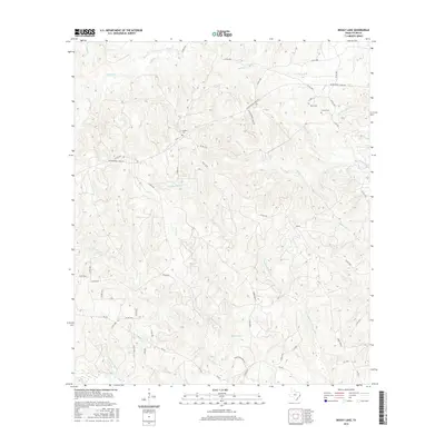
2010 Birdwell Lake
Tyler County, TX
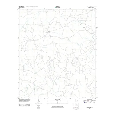
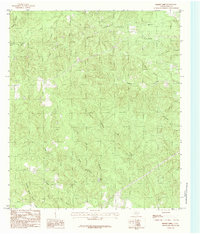
2010 Boggy Lake
Tyler County, TX
2010 Chambliss Hill
Tyler County, TX
2010 Fred
Tyler County, TX
2010 Hicksbaugh
Tyler County, TX
2010 Hillister
Tyler County, TX
2010 Jacks Creek North
Tyler County, TX
2010 Kirkpatrick Lake
Tyler County, TX
2010 Spurger
Tyler County, TX
2010 Town Bluff
Tyler County, TX
2013 Birdwell Lake
Tyler County, TX
2013 Boggy Lake
Tyler County, TX
2013 Chambliss Hill
Tyler County, TX
2013 Fred
Tyler County, TX
2013 Hicksbaugh
Tyler County, TX
2013 Hillister
Tyler County, TX
2013 Jacks Creek North
Tyler County, TX
2013 Kirkpatrick Lake
Tyler County, TX
2013 Spurger
Tyler County, TX
2013 Town Bluff
Tyler County, TX
2016 Birdwell Lake
Tyler County, TX
2016 Boggy Lake
Tyler County, TX
2016 Chambliss Hill
Tyler County, TX
2016 Fred
Tyler County, TX
2016 Hicksbaugh
Tyler County, TX
2016 Hillister
Tyler County, TX
2016 Jacks Creek North
Tyler County, TX
2016 Kirkpatrick Lake
Tyler County, TX
2016 Spurger
Tyler County, TX
2016 Town Bluff
Tyler County, TX
2019 Birdwell Lake
Tyler County, TX
2019 Boggy Lake
Tyler County, TX
2019 Chambliss Hill
Tyler County, TX
2019 Fred
Tyler County, TX
2019 Hicksbaugh
Tyler County, TX
2019 Hillister
Tyler County, TX
2019 Jacks Creek North
Tyler County, TX
2019 Kirkpatrick Lake
Tyler County, TX
2019 Spurger
Tyler County, TX
2019 Town Bluff
Tyler County, TX
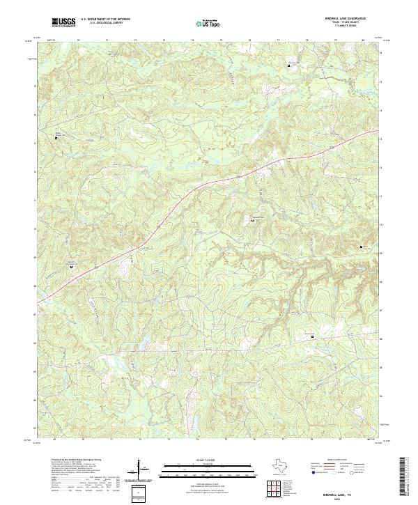
2022 Birdwell Lake
Tyler County, TX
2022 Boggy Lake
Tyler County, TX
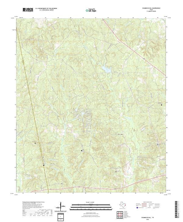
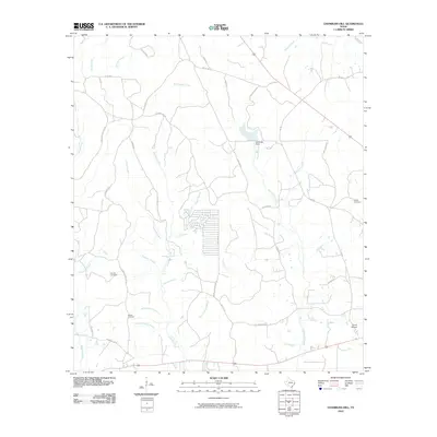
2022 Chambliss Hill
Tyler County, TX
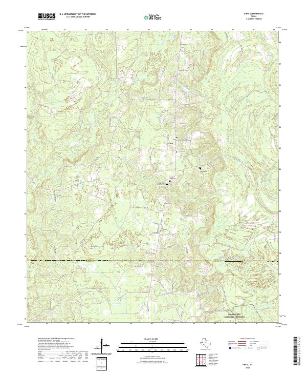
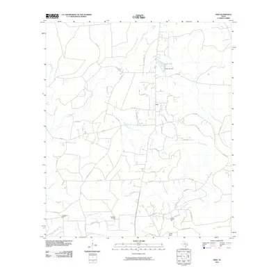
2022 Fred
Tyler County, TX
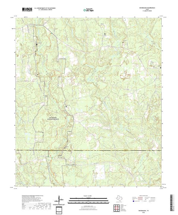
2022 Hicksbaugh
Tyler County, TX
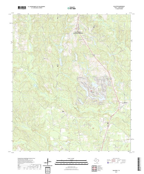
2022 Hillister
Tyler County, TX
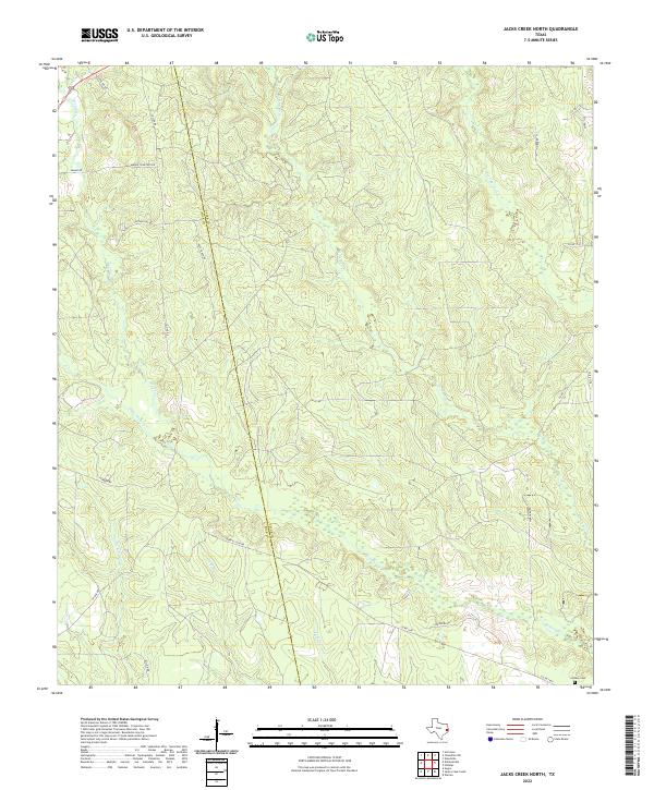
2022 Jacks Creek North
Tyler County, TX
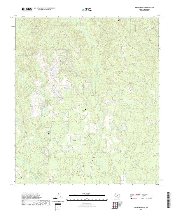
2022 Kirkpatrick Lake
Tyler County, TX
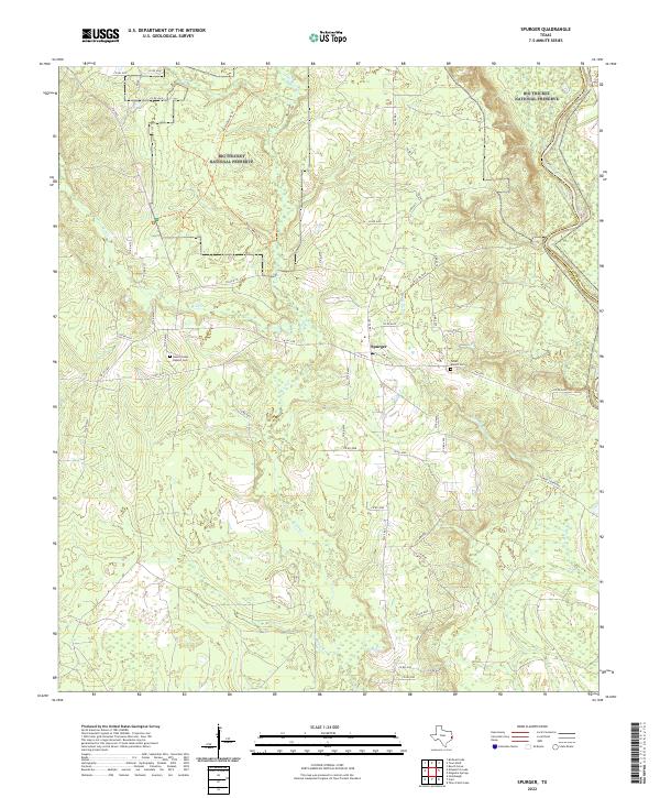
2022 Spurger
Tyler County, TX
2022 Town Bluff
Tyler County, TX