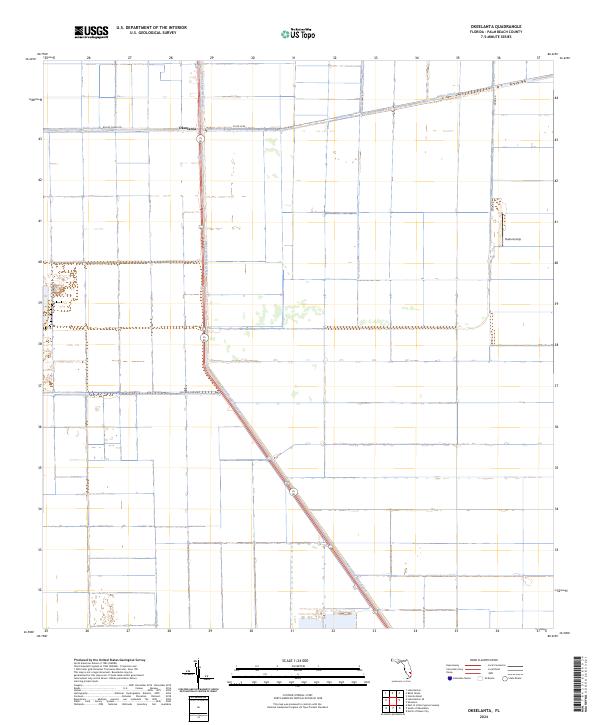
2024 Map of Okeelanta
USGS Topo · Published 2024About this map
The agricultural landscape of the Everglades dominates this area of Palm Beach County, where the settlement of Okeelanta sits at the intersection of critical water management infrastructure. The grid-like geometry of the terrain is defined by the North New River Canal, which cuts diagonally across the southern half of the quadrangle, and the Bolles Canal running along the northern edge. This infrastructure, coupled with roads like Bolles Canal Rd and Okeelanta Rd, facilitates the large-scale farming operations that characterize the region. Evidence of local aviation and logistical hubs is seen at the Duda Airstrip located near Duda Rd. The map illustrates the specialized water-control systems and transport networks required to maintain productivity in this reclaimed wetland environment, showing how the land is divided into systematic townships such as t45s r36e to manage Florida's interior resources.
Find a feature on this map
15 named features on this map. Tap any name to fly to it.
Don’t see what you’re looking for? This feature index may not catch every label — zoom into the map to look around manually.
Map Details
Editions of this 2024 Okeelanta Map
This is the sole edition of this map. No revisions or reprints were ever made.
Historical Maps of Florida Through Time
62 maps found
1945 Delta
Palm Beach County, FL
1945 Greenacres City
Palm Beach County, FL
1945 Lake Worth
Palm Beach County, FL
1946 Palm Beach Farms
Palm Beach County, FL

1947 Delmar Farms
Palm Beach County, FL
1948 Rood
Palm Beach County, FL
1949 Delmar Farms
Palm Beach County, FL

1949 Lake Worth
Palm Beach County, FL
1949 Palm Beach Farms
Palm Beach County, FL
1949 Rood
Palm Beach County, FL

1950 Delta
Palm Beach County, FL

1950 Greenacres City
Palm Beach County, FL
1962 University Park
Palm Beach County, FL
1970 Big Mound North
Palm Beach County, FL
1970 Big Mound South
Palm Beach County, FL

1970 Bryant
Palm Beach County, FL

1970 Lake Harbor SE
Palm Beach County, FL
1970 Loxahatchee NW
Palm Beach County, FL
1970 Loxahatchee SE
Palm Beach County, FL

1970 Loxahatchee SW
Palm Beach County, FL

1970 Okeelanta
Palm Beach County, FL
1970 Shawano
Palm Beach County, FL

1970 Sixmile Bend
Palm Beach County, FL
1970 West Of Rood
Palm Beach County, FL
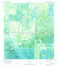
1971 Loxahatchee
Palm Beach County, FL
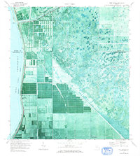
1971 Port Mayaca
Palm Beach County, FL
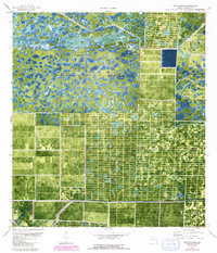
1971 West Of Delta
Palm Beach County, FL
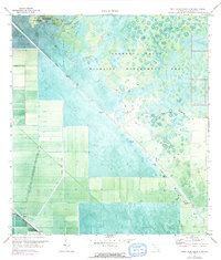
1971 West Palm Beach 2 SW
Palm Beach County, FL
1973 Big Lake
Palm Beach County, FL
1974 East of Little Cypress Swamp
Palm Beach County, FL
1974 North Of Deem City
Palm Beach County, FL
1974 South Of Okeelanta
Palm Beach County, FL
1974 West Of Big Lake
Palm Beach County, FL
1979 Loxahatchee
Palm Beach County, FL
1994 West Of Rood
Palm Beach County, FL
2024 Big Lake
Palm Beach County, FL
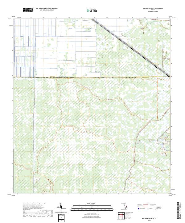
2024 Big Mound North
Palm Beach County, FL
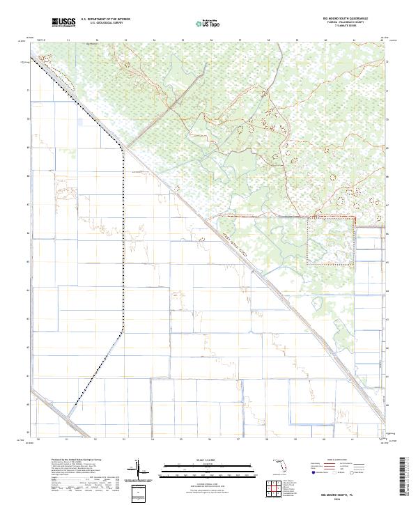
2024 Big Mound South
Palm Beach County, FL
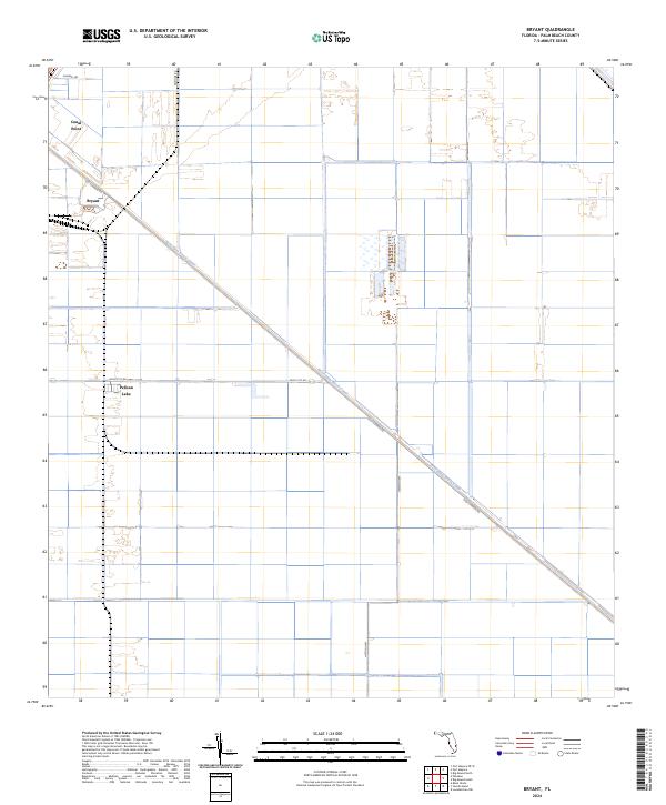
2024 Bryant
Palm Beach County, FL
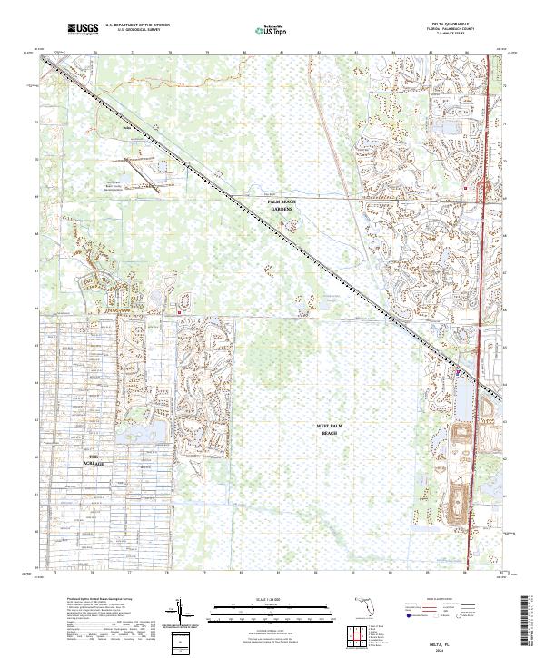
2024 Delta
Palm Beach County, FL
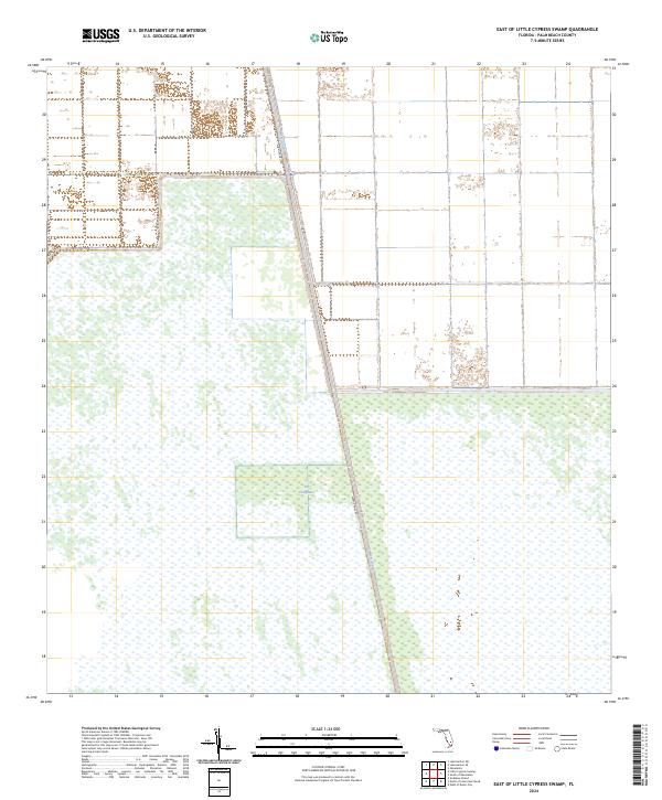
2024 East of Little Cypress Swamp
Palm Beach County, FL
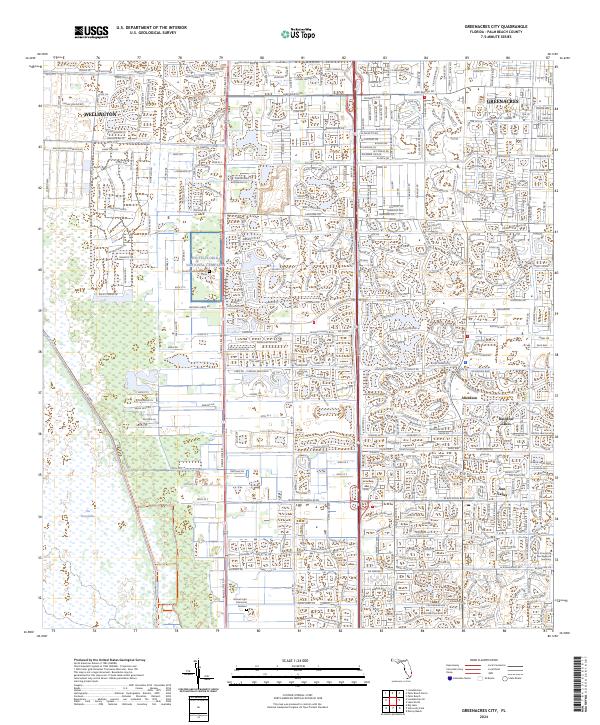
2024 Greenacres City
Palm Beach County, FL
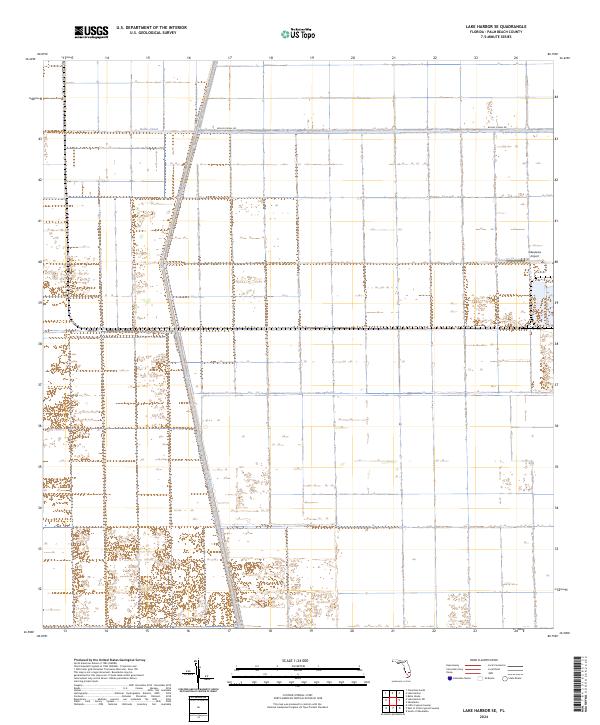
2024 Lake Harbor SE
Palm Beach County, FL
2024 Lake Okeechobee 1 (All Water)
Palm Beach County, FL
2024 Lake Okeechobee 2 (All Water)
Palm Beach County, FL
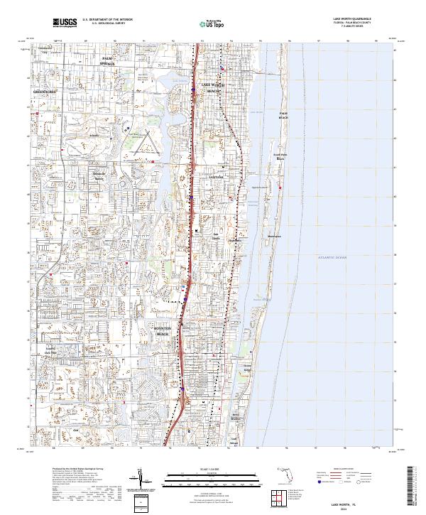
2024 Lake Worth
Palm Beach County, FL
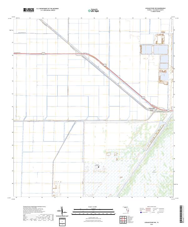
2024 Loxahatchee NW
Palm Beach County, FL
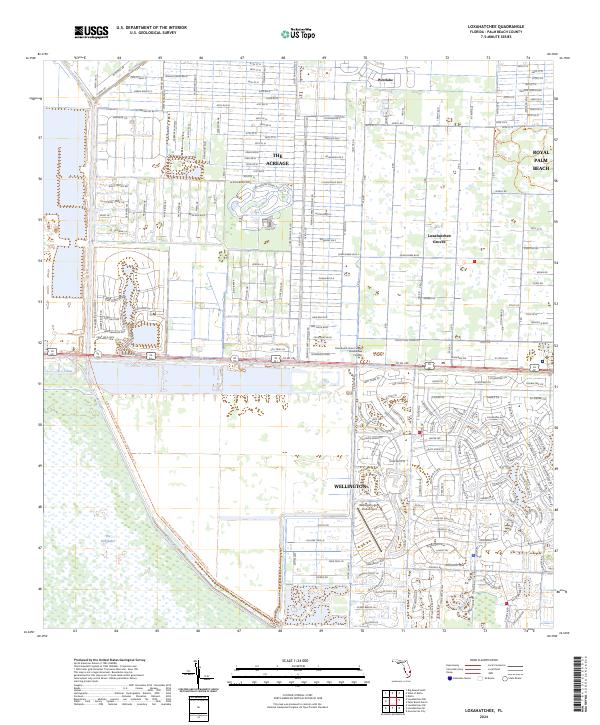
2024 Loxahatchee
Palm Beach County, FL
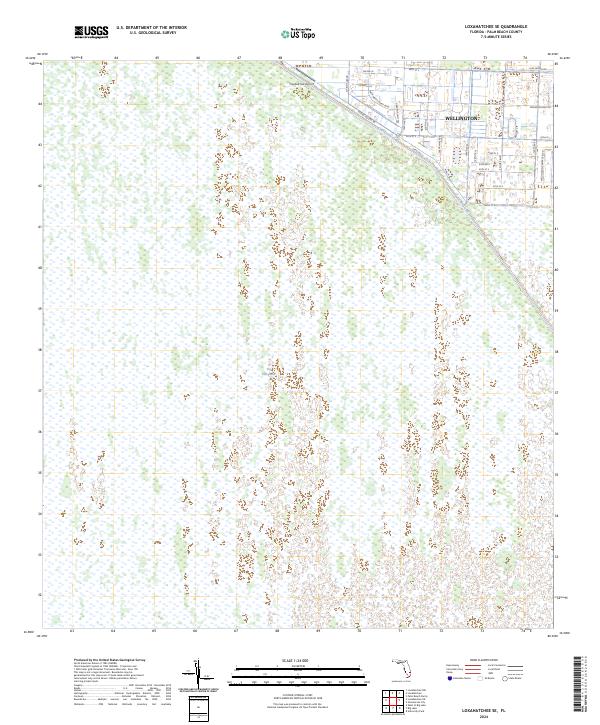
2024 Loxahatchee SE
Palm Beach County, FL
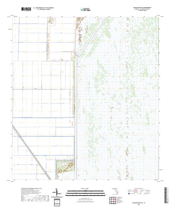
2024 Loxahatchee SW
Palm Beach County, FL
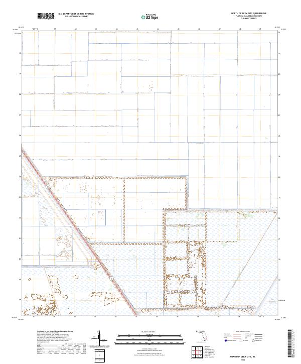
2024 North of Deem City
Palm Beach County, FL
2024 Okeelanta
Palm Beach County, FL
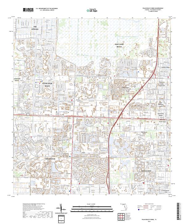
2024 Palm Beach Farms
Palm Beach County, FL
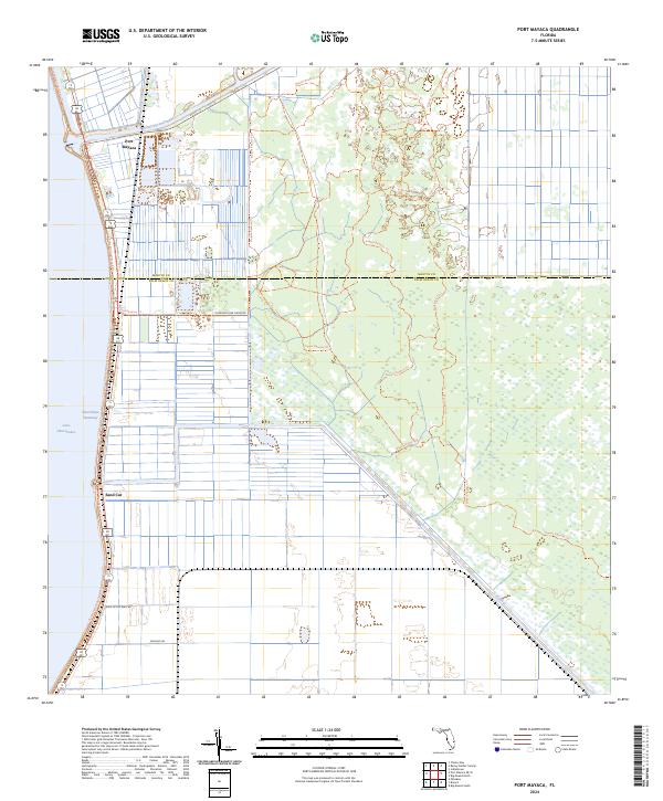
2024 Port Mayaca
Palm Beach County, FL
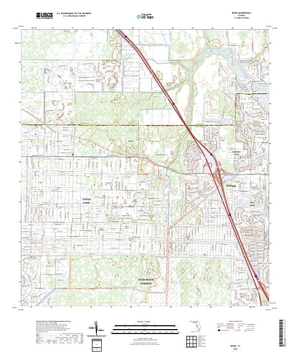
2024 Rood
Palm Beach County, FL
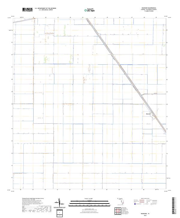
2024 Shawano
Palm Beach County, FL
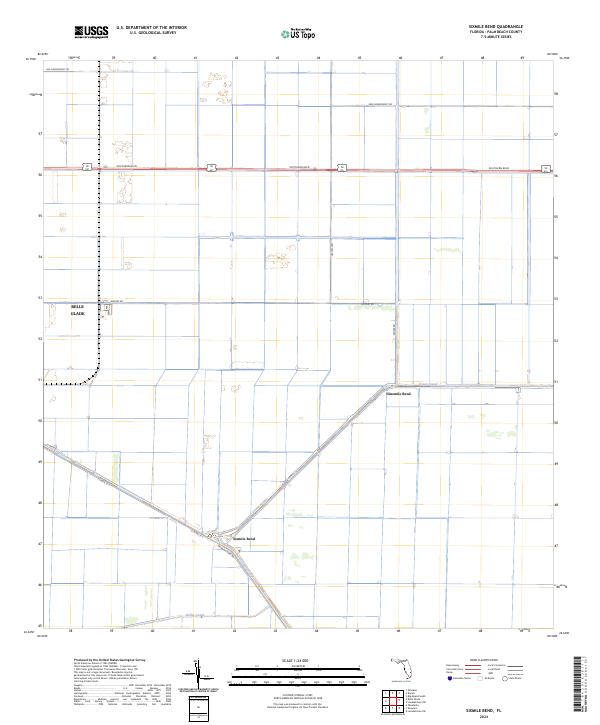
2024 Sixmile Bend
Palm Beach County, FL
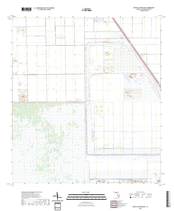
2024 South of Okeelanta
Palm Beach County, FL
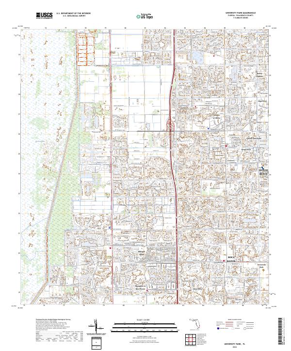
2024 University Park
Palm Beach County, FL
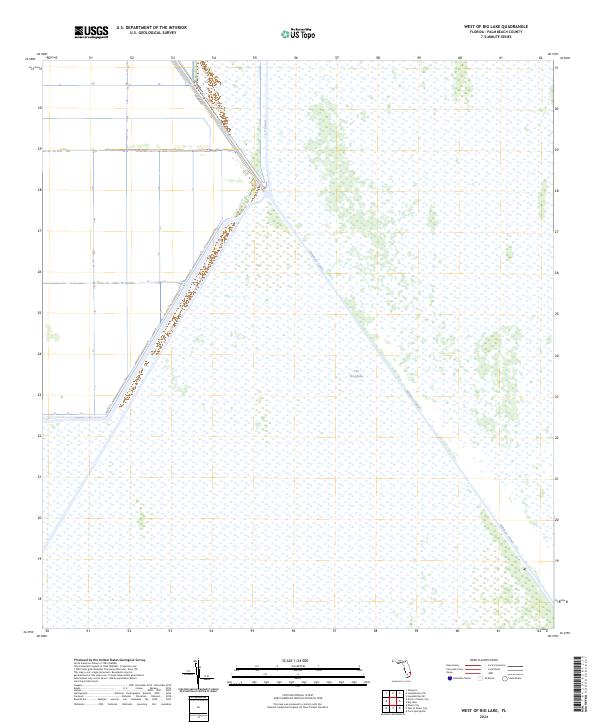
2024 West of Big Lake
Palm Beach County, FL
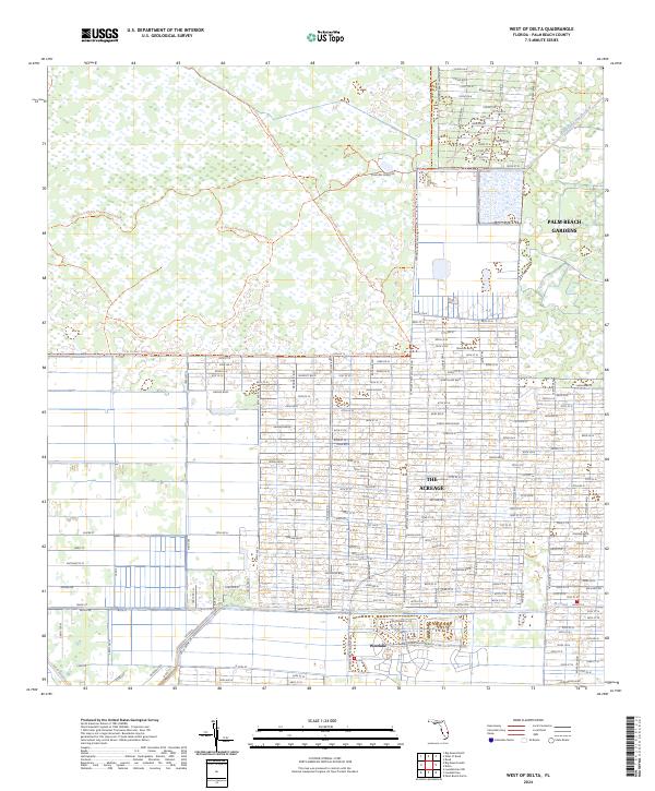
2024 West of Delta
Palm Beach County, FL
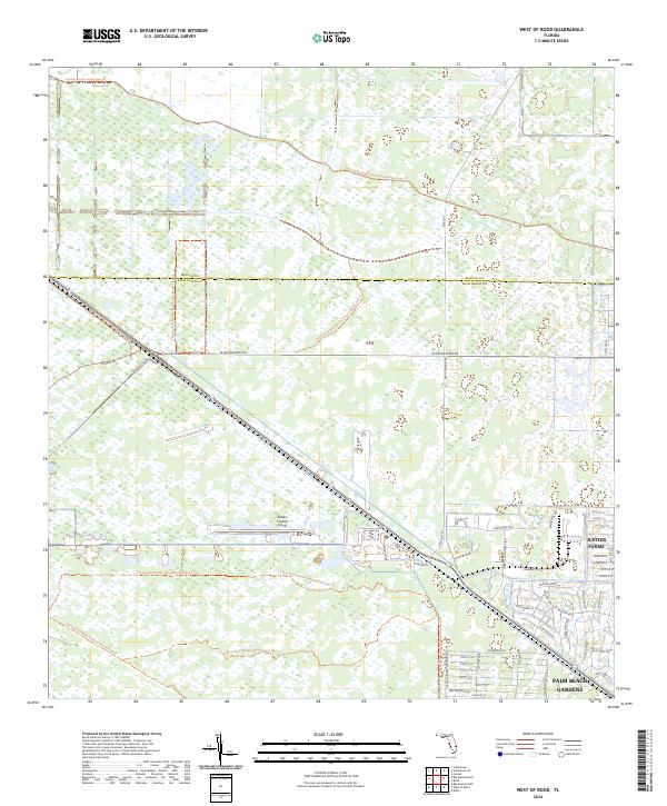
2024 West of Rood
Palm Beach County, FL