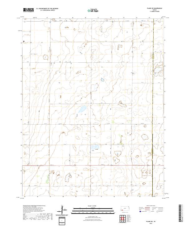
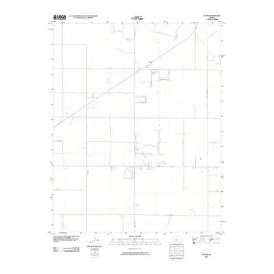
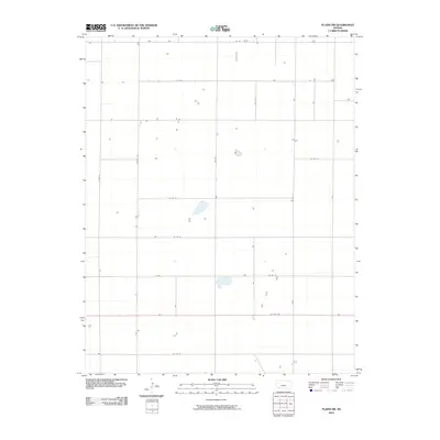
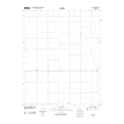
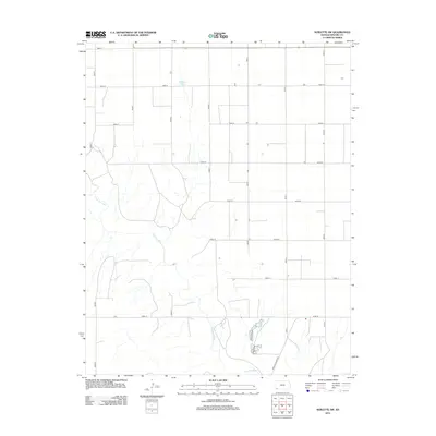
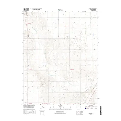
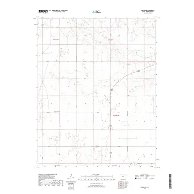
2022 Map of Plains SW
USGS Topo · Published 2022About this map
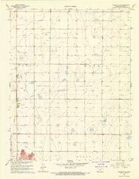
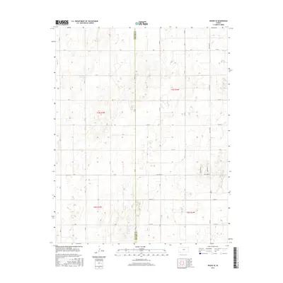
Agricultural patterns and a strict rectangular grid define this area of southwest Kansas, where the border between Seward Co and Meade Co runs vertically through the landscape. The terrain is characterized by numerous small, seasonally wet depressions and basins typical of the High Plains, interspersed among a network of section-line roads. Major north-south corridors like Road S, Rosson Rd, Co Rd V, and Road W provide the primary access to these rural tracts. The map illustrates the 21st-century state of land management in the region, showing how east-west routes such as Burr Rd, Co Rd 18, and Co Rd 16 connect isolated farmsteads and agricultural operations. This survey captures the sparse, utilitarian layout of the modern prairie before further consolidation of farm properties or changes in irrigation practices.
Find a feature on this map
38 named features on this map. Tap any name to fly to it.
Don’t see what you’re looking for? This feature index may not catch every label — zoom into the map to look around manually.
Map Details
Editions of this 2022 Plains SW Map
This is the sole edition of this map. No revisions or reprints were ever made.
Historical Maps of Seward County Through Time
60 maps found
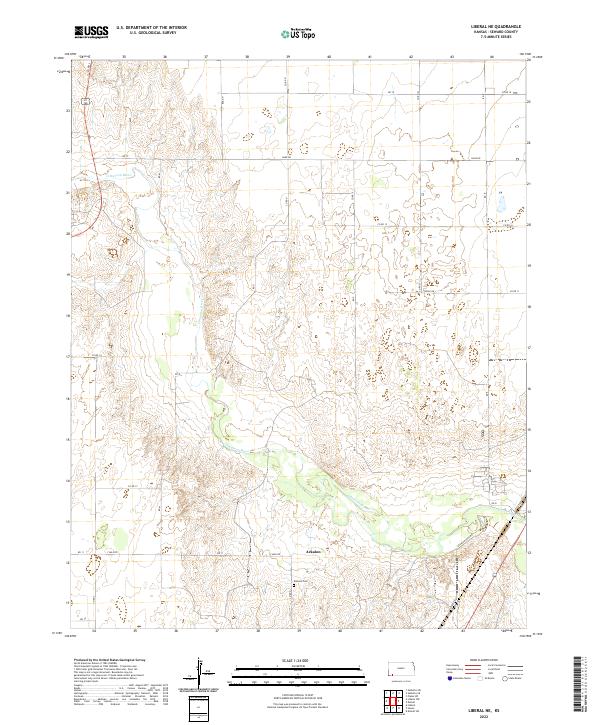
1968 Liberal NE
Seward County, KS
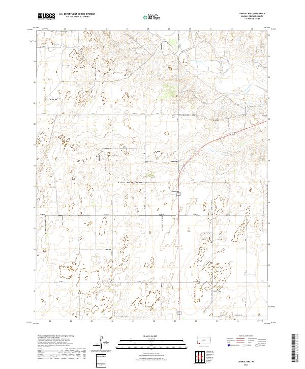
1968 Liberal NW
Seward County, KS
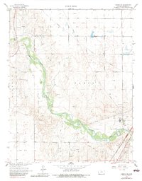
1968 Plains SW
Seward County, KS
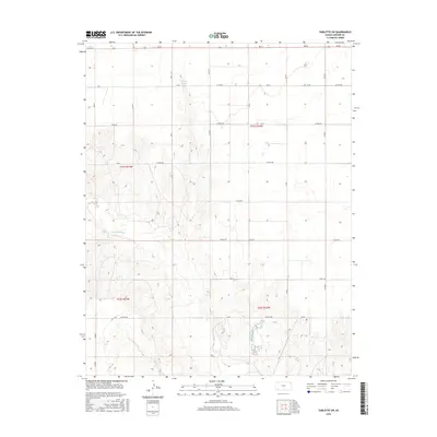
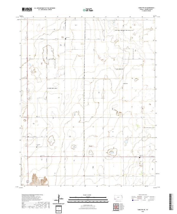
1968 Sublette SE
Seward County, KS
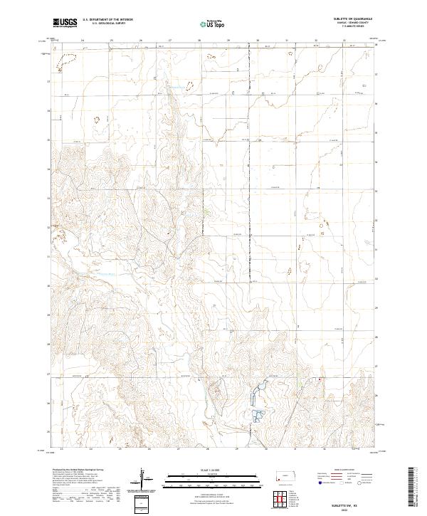
1968 Sublette SW
Seward County, KS
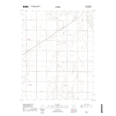
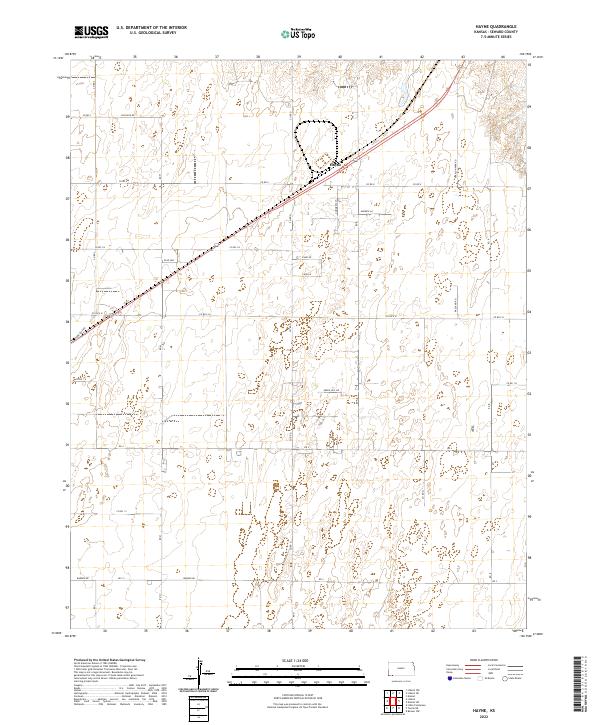
1971 Hayne
Seward County, KS
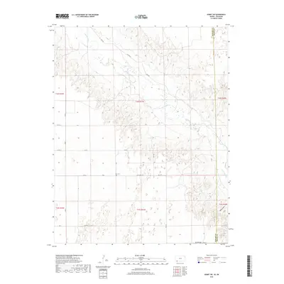
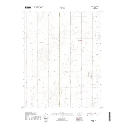
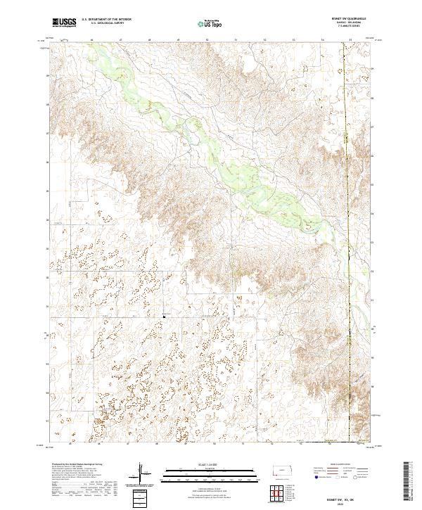
1971 Kismet SW
Seward County, KS
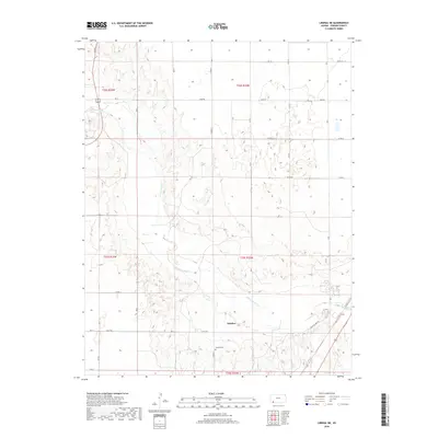
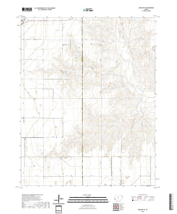
1974 Moscow SE
Seward County, KS
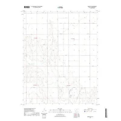
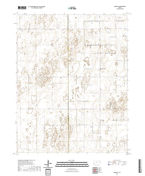
1974 Woods SE
Seward County, KS
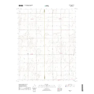
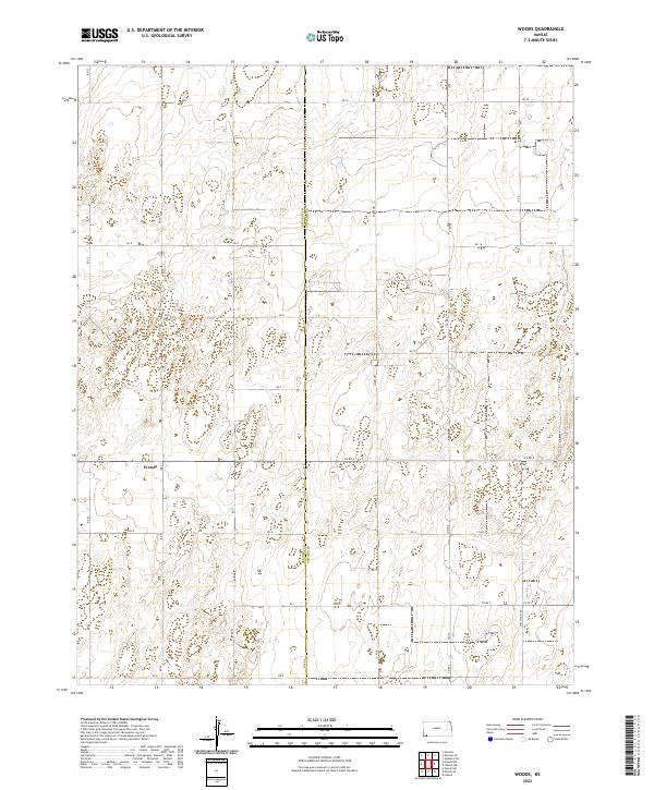
1974 Woods
Seward County, KS
2010 Hayne
Seward County, KS
2010 Kismet SW
Seward County, KS
2010 Liberal NE
Seward County, KS
2010 Liberal NW
Seward County, KS
2010 Moscow SE
Seward County, KS
2010 Plains SW
Seward County, KS
2010 Sublette SE
Seward County, KS
2010 Sublette SW
Seward County, KS
2010 Woods SE
Seward County, KS
2010 Woods
Seward County, KS
2012 Hayne
Seward County, KS
2012 Kismet SW
Seward County, KS
2012 Liberal NE
Seward County, KS
2012 Liberal NW
Seward County, KS
2012 Moscow SE
Seward County, KS
2012 Plains SW
Seward County, KS
2012 Sublette SE
Seward County, KS
2012 Sublette SW
Seward County, KS
2012 Woods SE
Seward County, KS
2012 Woods
Seward County, KS
2015 Moscow SE
Seward County, KS
2015 Woods SE
Seward County, KS
2015 Woods
Seward County, KS
2016 Hayne
Seward County, KS
2016 Kismet SW
Seward County, KS
2016 Liberal NE
Seward County, KS
2016 Liberal NW
Seward County, KS
2016 Plains SW
Seward County, KS
2016 Sublette SE
Seward County, KS
2016 Sublette SW
Seward County, KS
2018 Hayne
Seward County, KS
2018 Kismet SW
Seward County, KS
2018 Liberal NE
Seward County, KS
2018 Liberal NW
Seward County, KS
2018 Moscow SE
Seward County, KS
2018 Plains SW
Seward County, KS
2018 Sublette SE
Seward County, KS
2018 Sublette SW
Seward County, KS
2018 Woods SE
Seward County, KS
2018 Woods
Seward County, KS
2022 Hayne
Seward County, KS
2022 Kismet SW
Seward County, KS
2022 Liberal NE
Seward County, KS
2022 Liberal NW
Seward County, KS
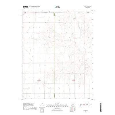
2022 Moscow SE
Seward County, KS
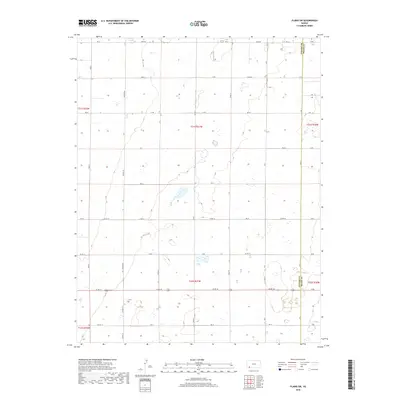
2022 Plains SW
Seward County, KS
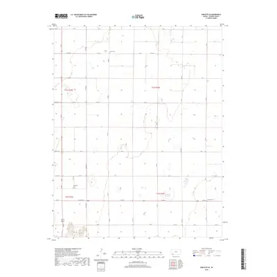
2022 Sublette SE
Seward County, KS
2022 Sublette SW
Seward County, KS
2022 Woods SE
Seward County, KS
2022 Woods
Seward County, KS