2023 Map of Trout Island
USGS Topo · Published 2023About this map
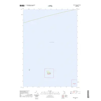
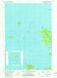
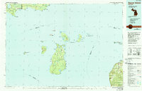
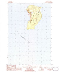
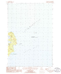
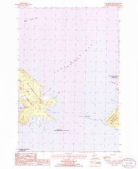
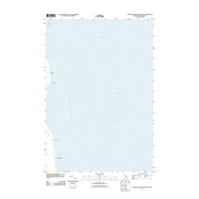
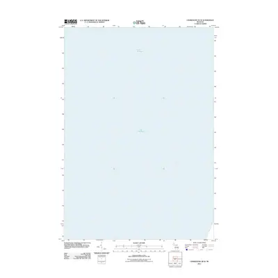
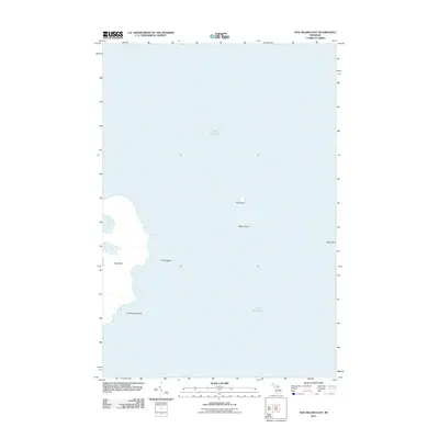
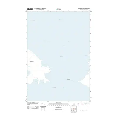
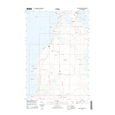
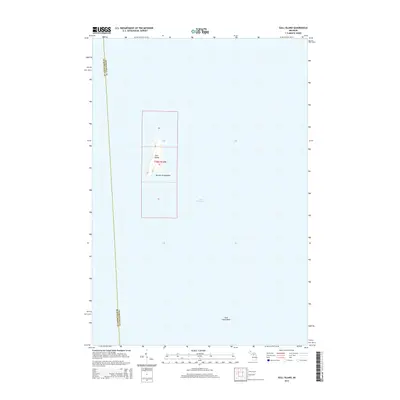
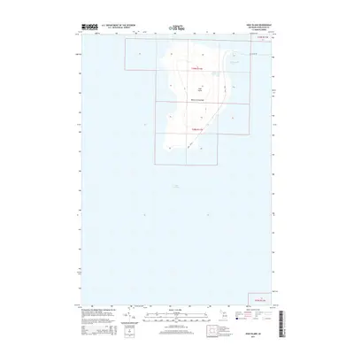
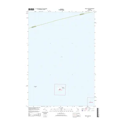
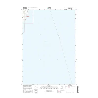
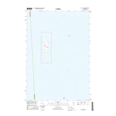
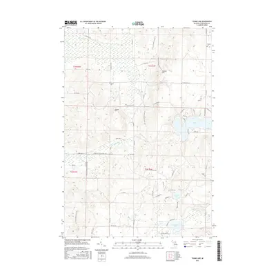
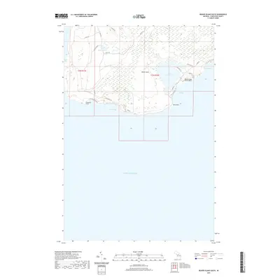
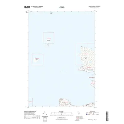
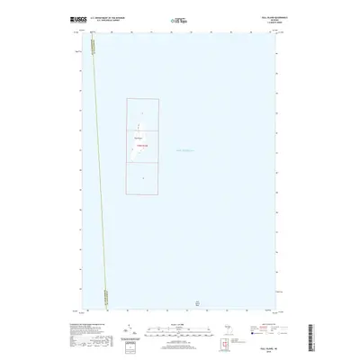
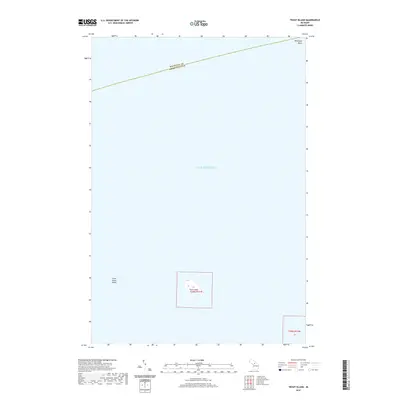
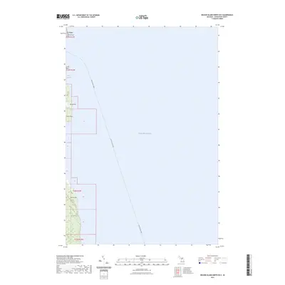
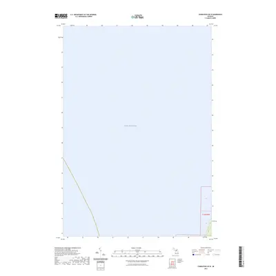
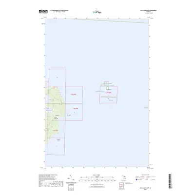
Trout Island emerges from the surrounding waters of Lake Michigan as a central component of the Beaver Archipelago. This isolated landform is defined by its low elevation and the extensive Trout Island Shoal to the west, which presents a significant navigational feature within this portion of the Great Lakes. The map illustrates the island's relationship to the broader archipelago and the vast open waters of the lake, marked by the precise boundaries of Township 39 North, Range 11 West. The lack of inland development or infrastructure highlights the island's undeveloped state and its significance for maritime study or natural history within the northern Michigan island chain.
Find a feature on this map
6 named features on this map. Tap any name to fly to it.
Don’t see what you’re looking for? This feature index may not catch every label — zoom into the map to look around manually.
Map Details
Editions of this 2023 Trout Island Map
This is the sole edition of this map. No revisions or reprints were ever made.
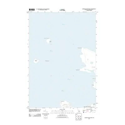
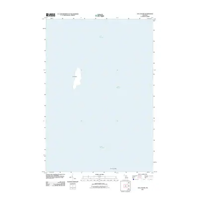
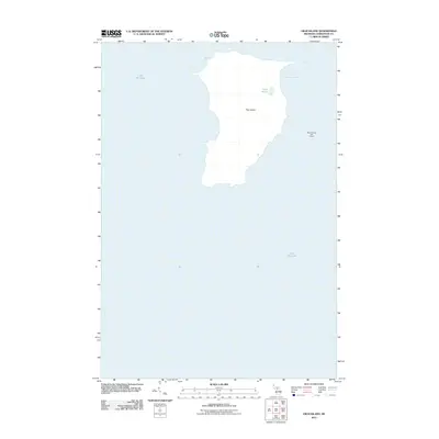
Historical Maps of Saint James Township Through Time
79 maps found
1955 Gull Island
Charlevoix County, MI
1956 Beaver Island
Charlevoix County, MI
1958 Bayshore
Charlevoix County, MI
1975 Boyne City NE
Charlevoix County, MI
1975 Boyne City NW
Charlevoix County, MI
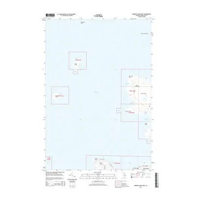
1980 Garden Island West
Charlevoix County, MI
1984 Beaver Island
Charlevoix County, MI
1986 Beaver Island North
Charlevoix County, MI
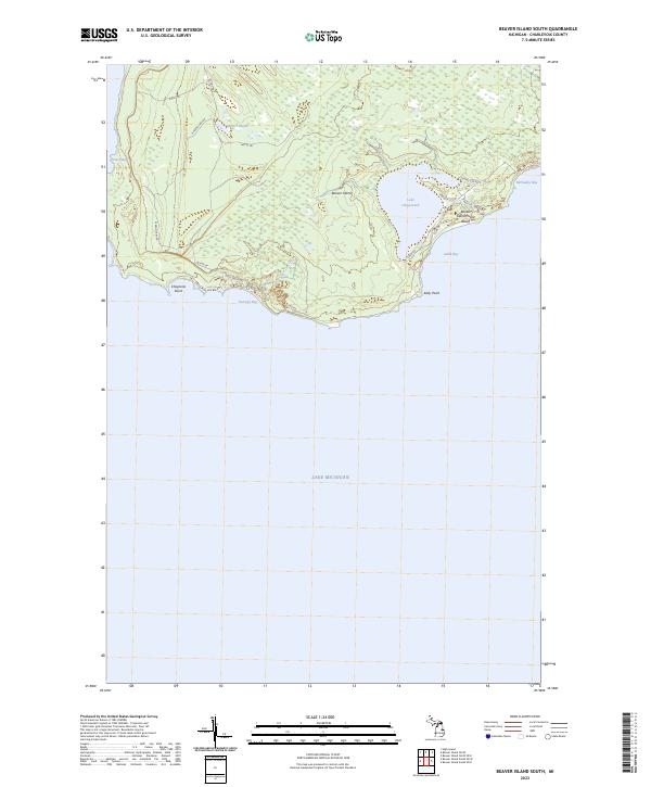
1986 Beaver Island South
Charlevoix County, MI
1986 Gull Island
Charlevoix County, MI
1986 High Island
Charlevoix County, MI
1986 Hog Island East
Charlevoix County, MI
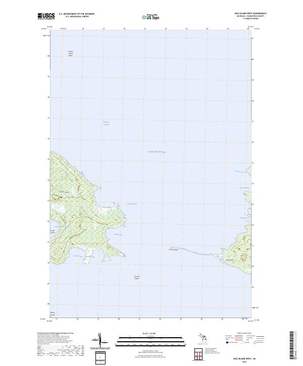
1986 Hog Island West
Charlevoix County, MI
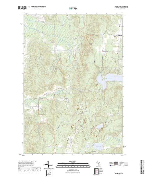
1986 Thumb Lake
Charlevoix County, MI
2011 Beaver Island North
Charlevoix County, MI
2011 Beaver Island North OE E
Charlevoix County, MI
2011 Beaver Island South
Charlevoix County, MI
2011 Beaver Island South OE E
Charlevoix County, MI
2011 Beaver Island South OE W
Charlevoix County, MI
2011 Charlevoix OE W
Charlevoix County, MI
2011 Garden Island West
Charlevoix County, MI
2011 Gull Island
Charlevoix County, MI
2011 High Island
Charlevoix County, MI
2011 Hog Island East
Charlevoix County, MI
2011 Hog Island West
Charlevoix County, MI
2011 Thumb Lake
Charlevoix County, MI
2011 Trout Island
Charlevoix County, MI
2014 Beaver Island North
Charlevoix County, MI
2014 Beaver Island North OE E
Charlevoix County, MI
2014 Beaver Island South
Charlevoix County, MI
2014 Beaver Island South OE E
Charlevoix County, MI
2014 Beaver Island South OE W
Charlevoix County, MI
2014 Charlevoix OE W
Charlevoix County, MI
2014 Garden Island West
Charlevoix County, MI
2014 Gull Island
Charlevoix County, MI
2014 High Island
Charlevoix County, MI
2014 Hog Island East
Charlevoix County, MI
2014 Hog Island West
Charlevoix County, MI
2014 Thumb Lake
Charlevoix County, MI
2014 Trout Island
Charlevoix County, MI
2017 Beaver Island North
Charlevoix County, MI
2017 Beaver Island North OE E
Charlevoix County, MI
2017 Beaver Island South
Charlevoix County, MI
2017 Beaver Island South OE E
Charlevoix County, MI
2017 Beaver Island South OE W
Charlevoix County, MI
2017 Charlevoix OE W
Charlevoix County, MI
2017 Garden Island West
Charlevoix County, MI
2017 Gull Island
Charlevoix County, MI
2017 High Island
Charlevoix County, MI
2017 Hog Island East
Charlevoix County, MI
2017 Hog Island West
Charlevoix County, MI
2017 Thumb Lake
Charlevoix County, MI
2017 Trout Island
Charlevoix County, MI
2019 Beaver Island North
Charlevoix County, MI
2019 Beaver Island North OE E
Charlevoix County, MI
2019 Beaver Island South
Charlevoix County, MI
2019 Beaver Island South OE E
Charlevoix County, MI
2019 Beaver Island South OE W
Charlevoix County, MI
2019 Charlevoix OE W
Charlevoix County, MI
2019 Garden Island West
Charlevoix County, MI
2019 Gull Island
Charlevoix County, MI
2019 High Island
Charlevoix County, MI
2019 Hog Island East
Charlevoix County, MI
2019 Hog Island West
Charlevoix County, MI
2019 Thumb Lake
Charlevoix County, MI
2019 Trout Island
Charlevoix County, MI
2023 Beaver Island North
Charlevoix County, MI
2023 Beaver Island North OE E
Charlevoix County, MI
2023 Beaver Island South
Charlevoix County, MI
2023 Beaver Island South OE E
Charlevoix County, MI
2023 Beaver Island South OE W
Charlevoix County, MI
2023 Charlevoix OE W
Charlevoix County, MI
2023 Garden Island West
Charlevoix County, MI
2023 Gull Island
Charlevoix County, MI
2023 High Island
Charlevoix County, MI
2023 Hog Island East
Charlevoix County, MI
2023 Hog Island West
Charlevoix County, MI
2023 Thumb Lake
Charlevoix County, MI
2023 Trout Island
Charlevoix County, MI