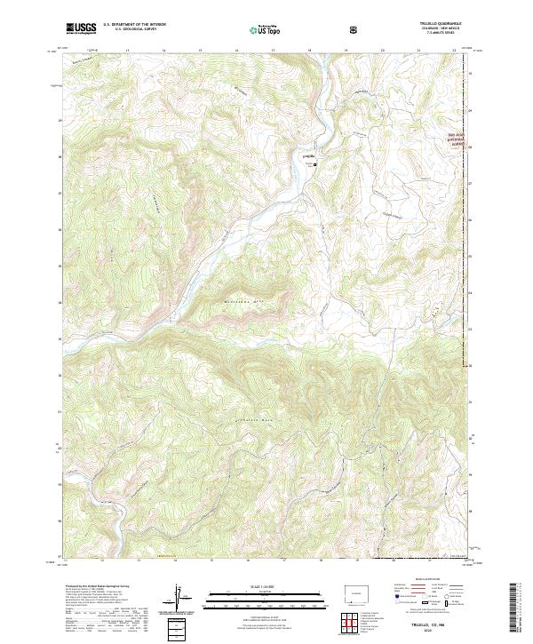
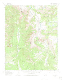
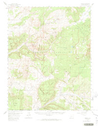
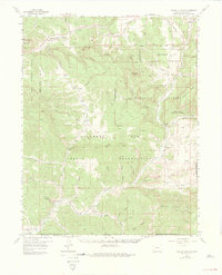
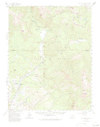
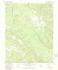
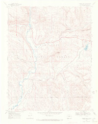
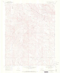
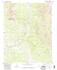
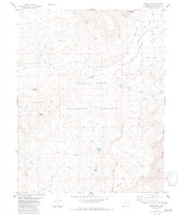
2022 Map of Trujillo
USGS Topo · Published 2022About this map
The San Juan River and its confluence with the Rio Blanco define the landscape of this southern Archuleta County region. The small settlement of Trujillo serves as a local focal point, situated near the Trujillo Cem and the historical water management route of the Virginia Ditch. The terrain is characterized by massive elevated formations, specifically the broad plateau of Montezuma Mesa and the prominent Archuleta Mesa to the south, which overlook a complex network of drainages.
Find a feature on this map
39 named features on this map. Tap any name to fly to it.
Don’t see what you’re looking for? This feature index may not catch every label — zoom into the map to look around manually.
Map Details
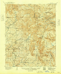
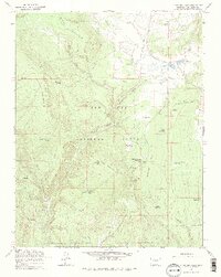
Editions of this 2022 Trujillo Map
This is the sole edition of this map. No revisions or reprints were ever made.
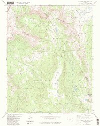
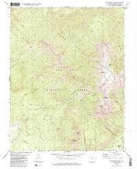
Historical Maps of Trujillo Through Time
50 maps found

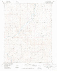
1913 Summitville
Archuleta County, CO
1915 Summitville
Archuleta County, CO
1954 Allison
Archuleta County, CO
1954 Carracas
Archuleta County, CO
1957 Chama Peak
Archuleta County, CO
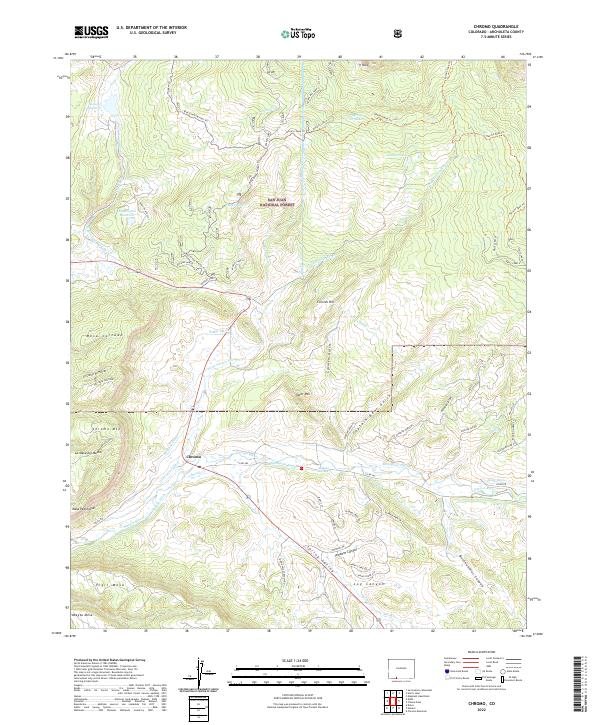
1957 Chromo
Archuleta County, CO
1957 Pagosa Junction
Archuleta County, CO
1957 Wolf Creek Pass
Archuleta County, CO
1964 Baldy Mountain
Archuleta County, CO
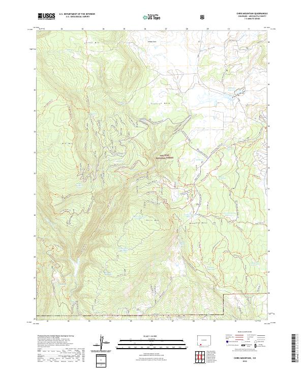
1964 Chris Mountain
Archuleta County, CO
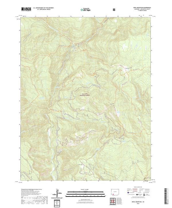
1964 Devil Mountain
Archuleta County, CO
1966 Summit Peak
Archuleta County, CO
1968 Chimney Rock
Archuleta County, CO
1968 Pargin Mountain
Archuleta County, CO
1984 Archuleta Creek
Archuleta County, CO
1984 Blackhead Peak
Archuleta County, CO
1984 Chama Peak
Archuleta County, CO
1984 Chromo
Archuleta County, CO
1984 Edith
Archuleta County, CO
1984 Elephant Head Rock
Archuleta County, CO
1984 Harris Lake
Archuleta County, CO
1984 Jackson Mountain
Archuleta County, CO

1984 Lonetree Canyon
Archuleta County, CO

1984 Oak Brush Hill
Archuleta County, CO
1984 Pagosa Junction
Archuleta County, CO
1984 Serviceberry Mountain
Archuleta County, CO
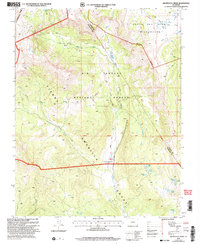
1984 Trujillo
Archuleta County, CO
2001 Archuleta Creek
Archuleta County, CO
2001 Summit Peak
Archuleta County, CO
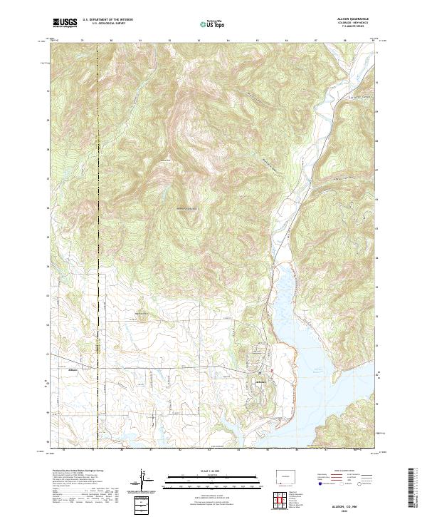
2022 Allison
Archuleta County, CO
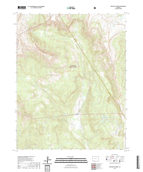
2022 Archuleta Creek
Archuleta County, CO
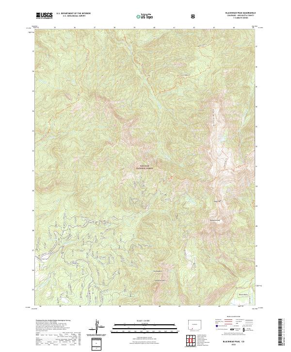
2022 Blackhead Peak
Archuleta County, CO
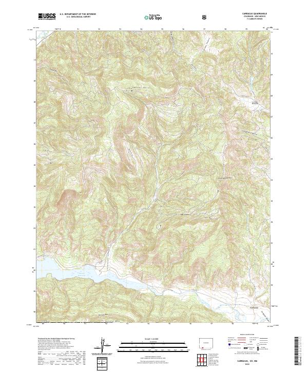
2022 Carracas
Archuleta County, CO
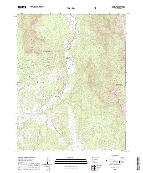
2022 Chama Peak
Archuleta County, CO
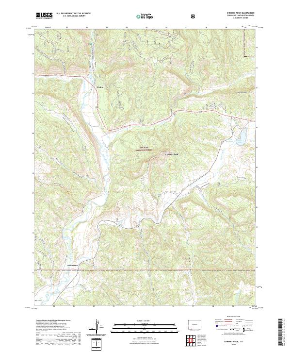
2022 Chimney Rock
Archuleta County, CO
2022 Chris Mountain
Archuleta County, CO
2022 Chromo
Archuleta County, CO
2022 Devil Mountain
Archuleta County, CO
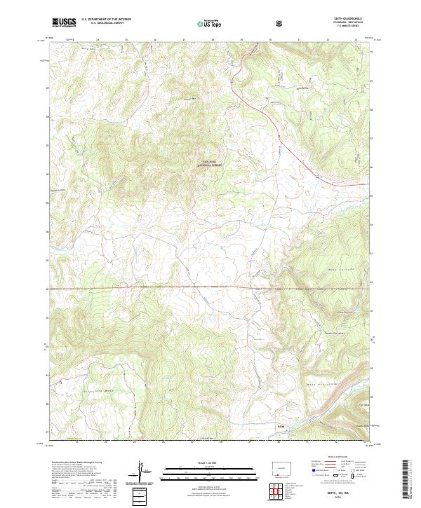
2022 Edith
Archuleta County, CO
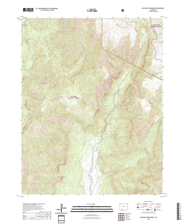
2022 Elephant Head Rock
Archuleta County, CO
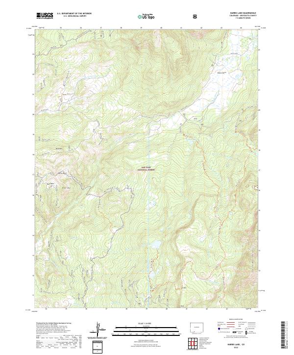
2022 Harris Lake
Archuleta County, CO
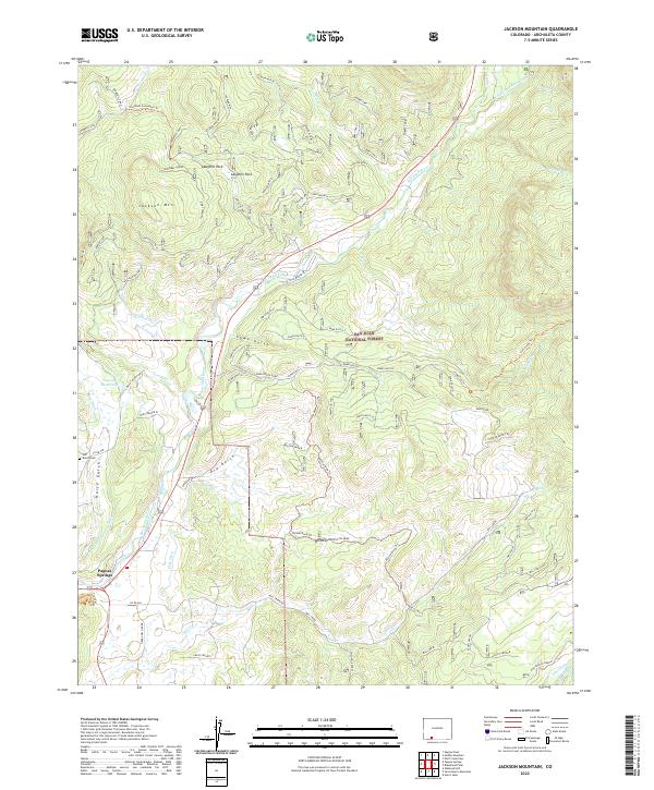
2022 Jackson Mountain
Archuleta County, CO
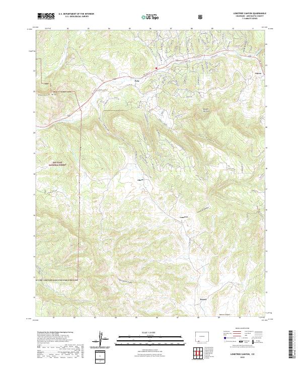
2022 Lonetree Canyon
Archuleta County, CO
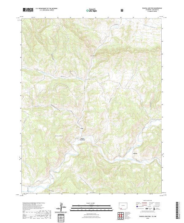
2022 Pagosa Junction
Archuleta County, CO
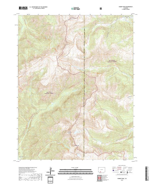
2022 Summit Peak
Archuleta County, CO
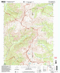
2022 Trujillo
Archuleta County, CO
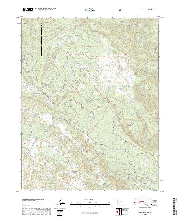
2023 Baldy Mountain
Archuleta County, CO
2023 Oakbrush Hill
Archuleta County, CO
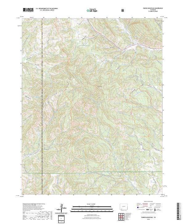
2023 Pargin Mountain
Archuleta County, CO
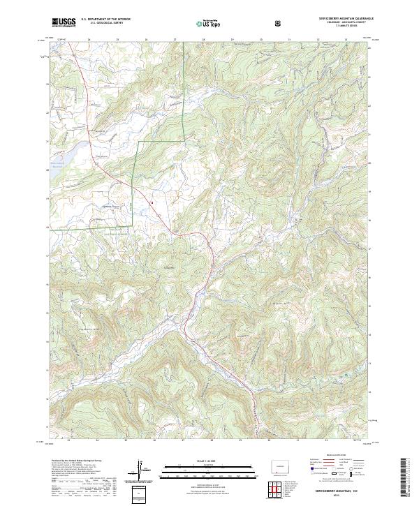
2023 Serviceberry Mountain
Archuleta County, CO