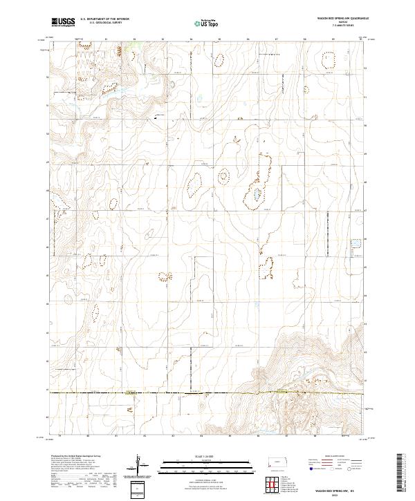
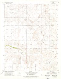
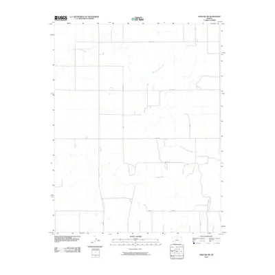
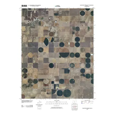
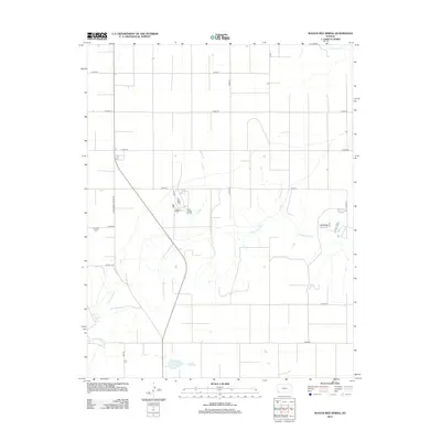
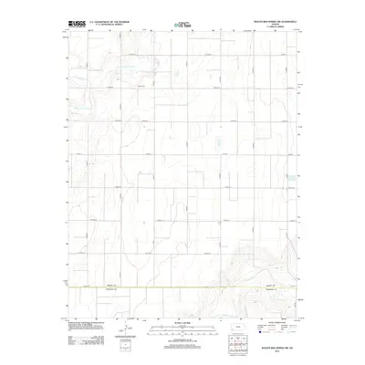
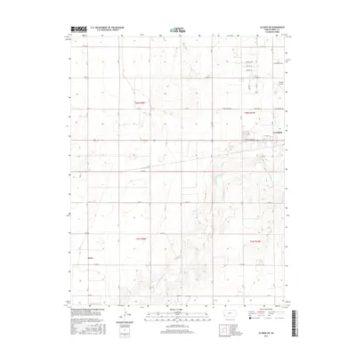
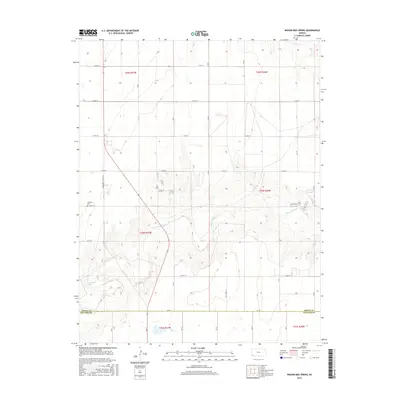
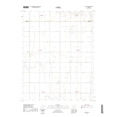
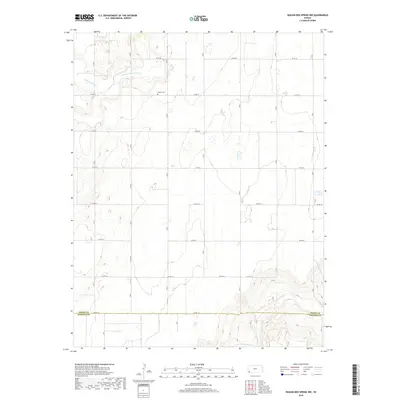
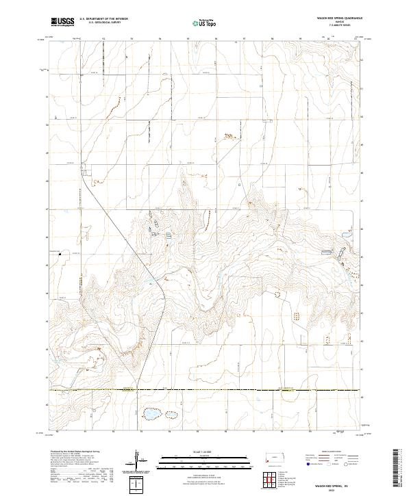
2022 Map of Wagon Bed Spring NW
USGS Topo · Published 2022About this map
Grant Co and Stevens Co meet in this rural landscape of southwestern Kansas, where the high plains terrain is defined by the winding paths of the Cimarron River and its tributaries. The northern portion of the quadrangle is bisected by the N Fork Cimarron River and the small drainage of Sand Arroyo Cr, which carve subtle depressions into the otherwise flat agricultural grid. This 2022 survey illustrates the enduring section-line road network, including Co Rd 18 and Co Rd 20, that organizes the prairie into distinct parcels.
Find a feature on this map
19 named features on this map. Tap any name to fly to it.
Don’t see what you’re looking for? This feature index may not catch every label — zoom into the map to look around manually.
Map Details
Editions of this 2022 Wagon Bed Spring NW Map
This is the sole edition of this map. No revisions or reprints were ever made.
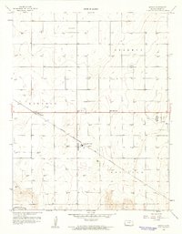
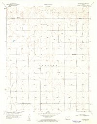
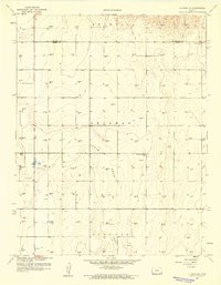
Historical Maps of Sullivan Township Through Time
48 maps found
1959 Hickok
Grant County, KS
1959 Hickok NW
Grant County, KS
1959 Ulysses NE
Grant County, KS
1959 Ulysses NW
Grant County, KS
1959 Ulysses SW
Grant County, KS
1974 Wagon Bed Spring
Grant County, KS
1974 Wagon Bed Spring NW
Grant County, KS
1975 Moscow NW
Grant County, KS
2009 Hickok
Grant County, KS
2009 Hickok NW
Grant County, KS
2009 Ulysses SW
Grant County, KS
2010 Moscow NW
Grant County, KS
2010 Ulysses NE
Grant County, KS
2010 Ulysses NW
Grant County, KS
2010 Wagon Bed Spring
Grant County, KS
2010 Wagon Bed Spring NW
Grant County, KS
2012 Hickok
Grant County, KS
2012 Hickok NW
Grant County, KS
2012 Moscow NW
Grant County, KS
2012 Ulysses NE
Grant County, KS
2012 Ulysses NW
Grant County, KS
2012 Ulysses SW
Grant County, KS
2012 Wagon Bed Spring
Grant County, KS
2012 Wagon Bed Spring NW
Grant County, KS
2015 Hickok NW
Grant County, KS
2015 Ulysses NE
Grant County, KS
2015 Ulysses NW
Grant County, KS
2015 Ulysses SW
Grant County, KS
2015 Wagon Bed Spring NW
Grant County, KS
2016 Hickok
Grant County, KS
2016 Moscow NW
Grant County, KS
2016 Wagon Bed Spring
Grant County, KS
2018 Hickok
Grant County, KS
2018 Hickok NW
Grant County, KS
2018 Moscow NW
Grant County, KS
2018 Ulysses NE
Grant County, KS
2018 Ulysses NW
Grant County, KS
2018 Ulysses SW
Grant County, KS
2018 Wagon Bed Spring
Grant County, KS
2018 Wagon Bed Spring NW
Grant County, KS
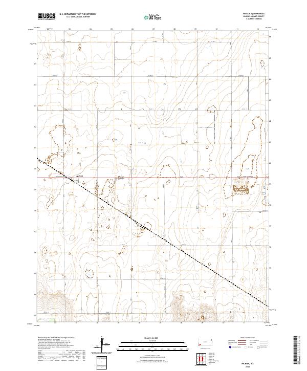
2022 Hickok
Grant County, KS
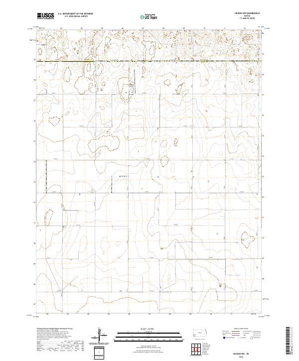
2022 Hickok NW
Grant County, KS
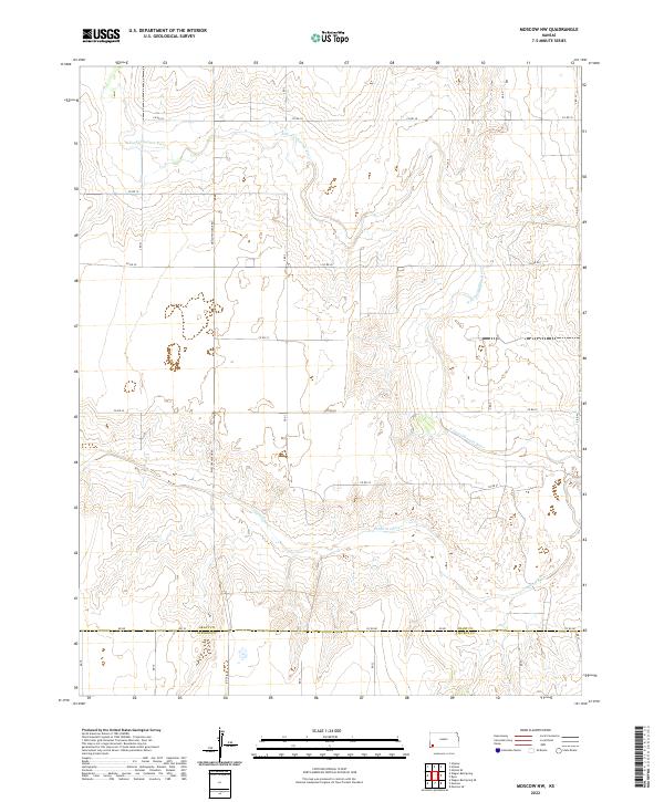
2022 Moscow NW
Grant County, KS
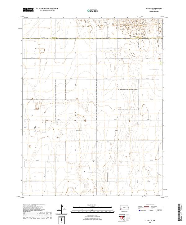
2022 Ulysses NE
Grant County, KS
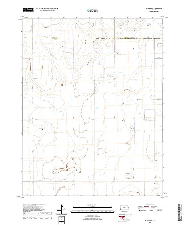
2022 Ulysses NW
Grant County, KS
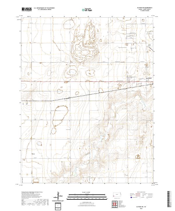
2022 Ulysses SW
Grant County, KS
2022 Wagon Bed Spring
Grant County, KS
2022 Wagon Bed Spring NW
Grant County, KS