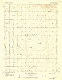
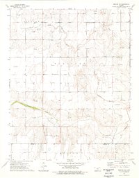
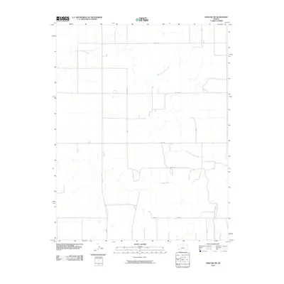
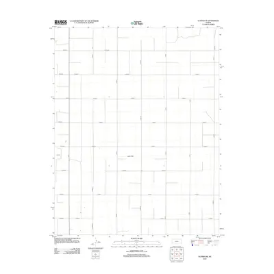
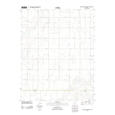
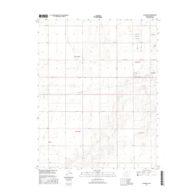
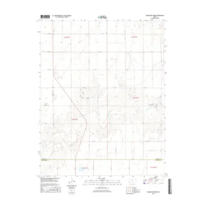
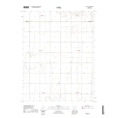
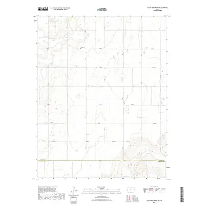
1959 Map of Ulysses SW
USGS Topo · Published 1978About this map
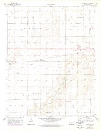
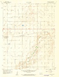
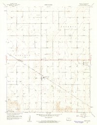
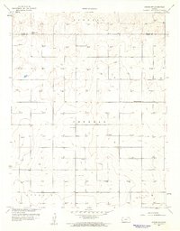
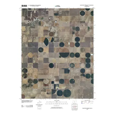
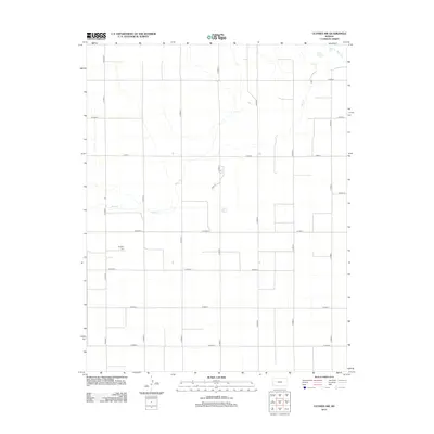
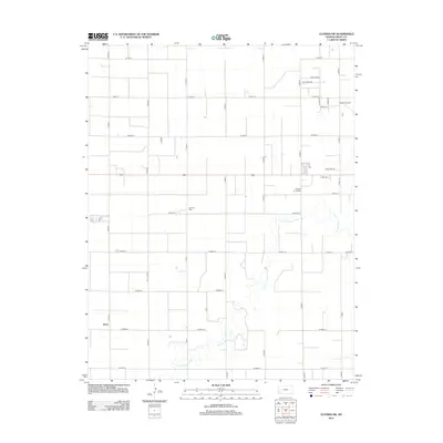
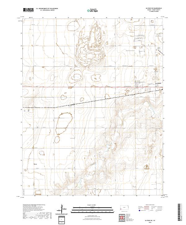
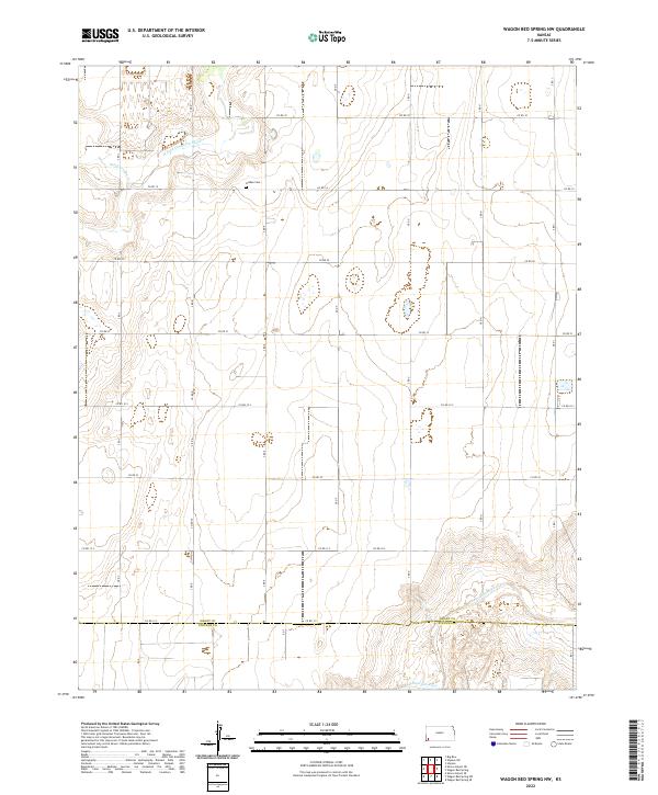
The North Fork Cimarron River carves a winding path through this corner of the High Plains, where the industrial expansion of the mid-20th century meets traditional ranching and farming. This area, spanning the townships of Sherman, Lincoln, and Sullivan, is defined by a dense grid of Gas Wells and connecting infrastructure, illustrating the region's significant role in energy production.
Find a feature on this map
16 named features on this map. Tap any name to fly to it.
Don’t see what you’re looking for? This feature index may not catch every label — zoom into the map to look around manually.
Map Details
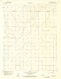
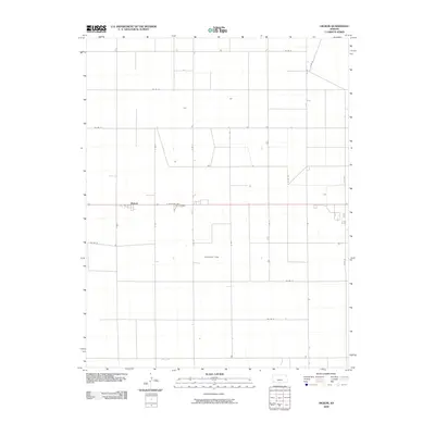
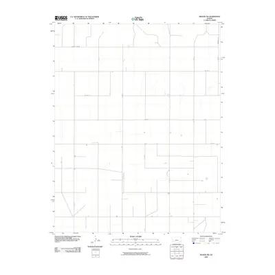
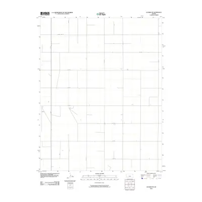
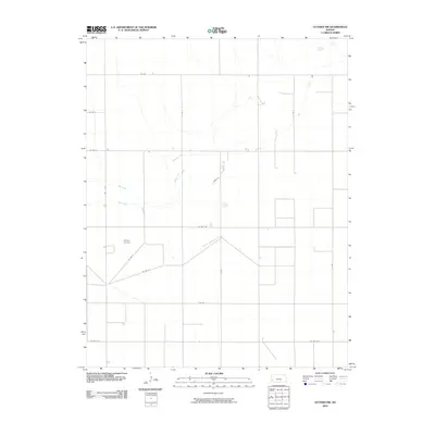
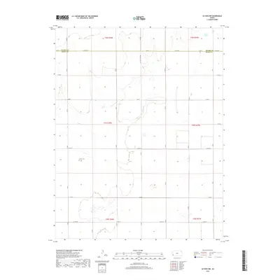
Editions of this 1959 Ulysses SW Map
2 editions found
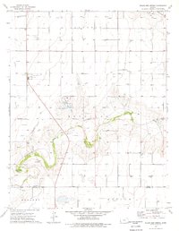
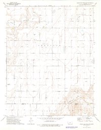
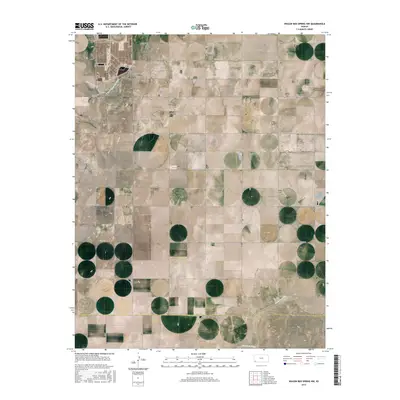
Historical Maps of Ulysses Through Time
48 maps found
1959 Hickok
Grant County, KS
1959 Hickok NW
Grant County, KS
1959 Ulysses NE
Grant County, KS
1959 Ulysses NW
Grant County, KS
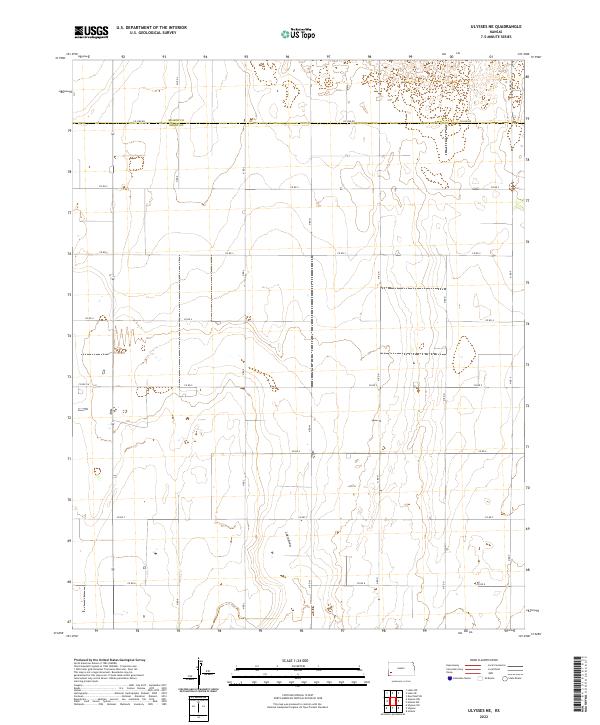
1959 Ulysses SW
Grant County, KS
1974 Wagon Bed Spring
Grant County, KS
1974 Wagon Bed Spring NW
Grant County, KS
1975 Moscow NW
Grant County, KS
2009 Hickok
Grant County, KS
2009 Hickok NW
Grant County, KS
2009 Ulysses SW
Grant County, KS
2010 Moscow NW
Grant County, KS
2010 Ulysses NE
Grant County, KS
2010 Ulysses NW
Grant County, KS
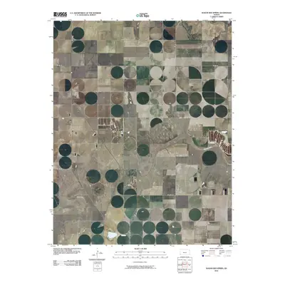
2010 Wagon Bed Spring
Grant County, KS
2010 Wagon Bed Spring NW
Grant County, KS
2012 Hickok
Grant County, KS
2012 Hickok NW
Grant County, KS
2012 Moscow NW
Grant County, KS
2012 Ulysses NE
Grant County, KS
2012 Ulysses NW
Grant County, KS
2012 Ulysses SW
Grant County, KS
2012 Wagon Bed Spring
Grant County, KS
2012 Wagon Bed Spring NW
Grant County, KS
2015 Hickok NW
Grant County, KS
2015 Ulysses NE
Grant County, KS
2015 Ulysses NW
Grant County, KS
2015 Ulysses SW
Grant County, KS
2015 Wagon Bed Spring NW
Grant County, KS
2016 Hickok
Grant County, KS
2016 Moscow NW
Grant County, KS
2016 Wagon Bed Spring
Grant County, KS
2018 Hickok
Grant County, KS
2018 Hickok NW
Grant County, KS
2018 Moscow NW
Grant County, KS
2018 Ulysses NE
Grant County, KS
2018 Ulysses NW
Grant County, KS
2018 Ulysses SW
Grant County, KS
2018 Wagon Bed Spring
Grant County, KS
2018 Wagon Bed Spring NW
Grant County, KS
2022 Hickok
Grant County, KS
2022 Hickok NW
Grant County, KS
2022 Moscow NW
Grant County, KS
2022 Ulysses NE
Grant County, KS
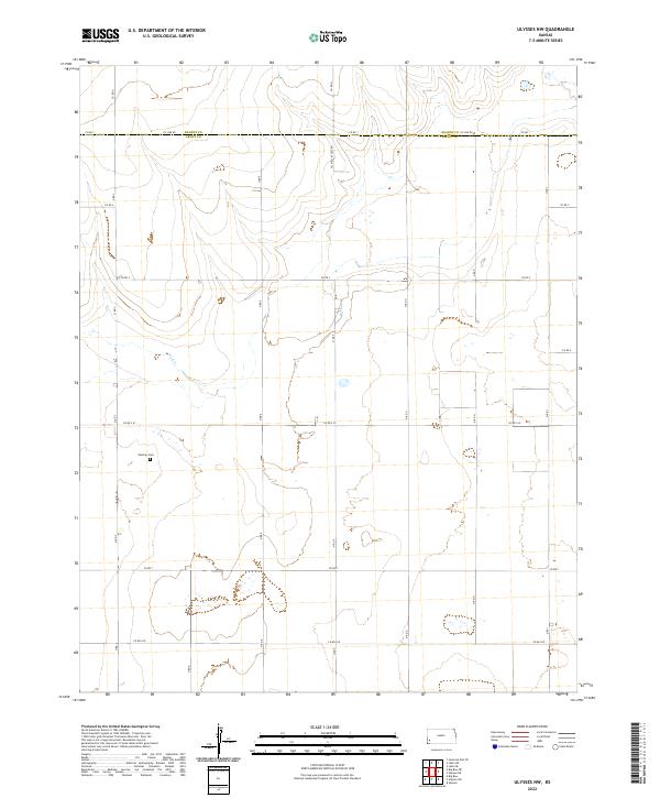
2022 Ulysses NW
Grant County, KS
2022 Ulysses SW
Grant County, KS
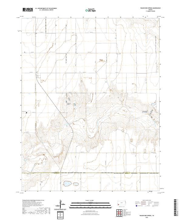
2022 Wagon Bed Spring
Grant County, KS
2022 Wagon Bed Spring NW
Grant County, KS
Featured Locations
- Lincoln Township, KS
- Sherman Township, KS
- Sullivan Township, KS
- Ulysses, Lincoln Township
- Stano, Sullivan Township