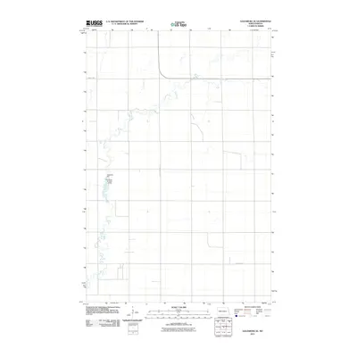
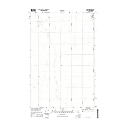
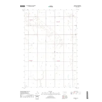
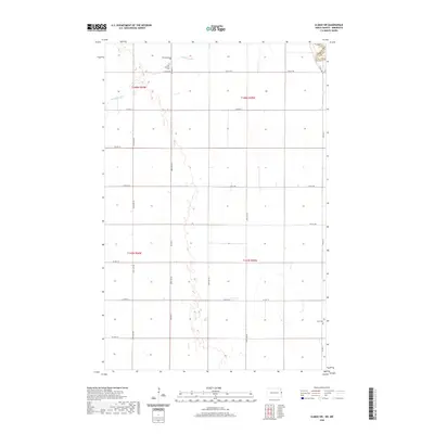
2024 Map of Climax SW
USGS Topo · Published 2024About this map
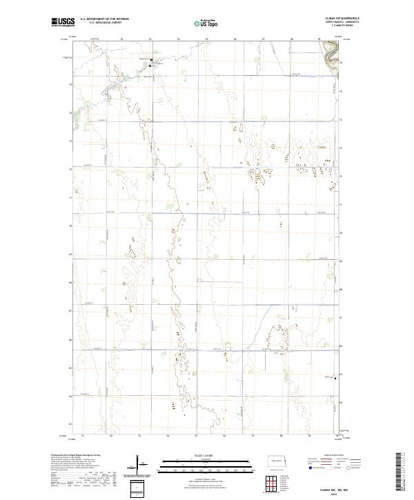
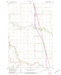
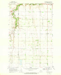
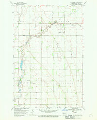
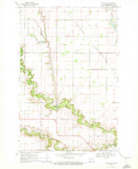
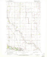
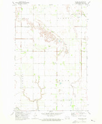
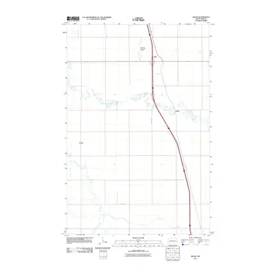
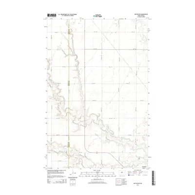
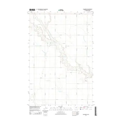
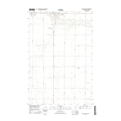
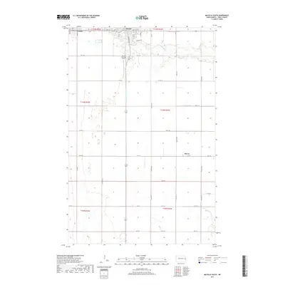
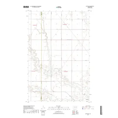
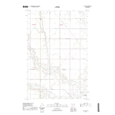
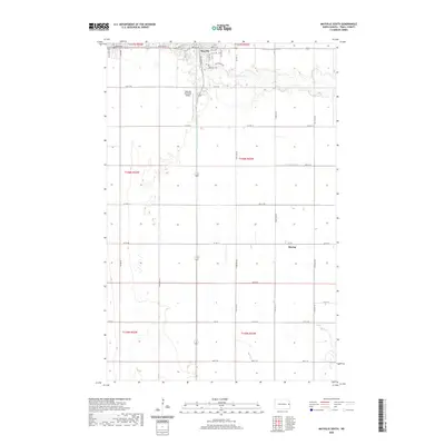
Buffalo Coulee meanders through the northwest corner of this agricultural landscape, where the flat terrain of the Red River Valley is organized by a strict grid of section lines and county roads. The map highlights several points of genealogical interest, including Hillstead Cem and Grue Lutheran Cem in the northern townships. Near the eastern border, Salem Cem marks another local landmark in an area defined by large-scale farming and quiet rural life. The boundary between Traill Co, North Dakota, and Polk Co, Minnesota, sits just off the eastern edge, emphasizing the regional connectivity maintained by routes like Co Hwy 21 and Co Hwy 4. This survey illustrates the enduring rural structure of the region, where township roads like 14th St NE and 11th St NE serve as the primary lifelines between remote homesteads and local community sites.
Find a feature on this map
25 named features on this map. Tap any name to fly to it.
Don’t see what you’re looking for? This feature index may not catch every label — zoom into the map to look around manually.
Map Details
Editions of this 2024 Climax SW Map
This is the sole edition of this map. No revisions or reprints were ever made.
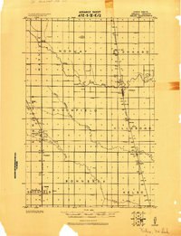
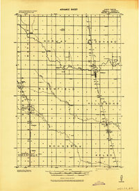
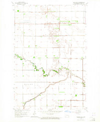
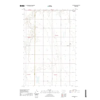
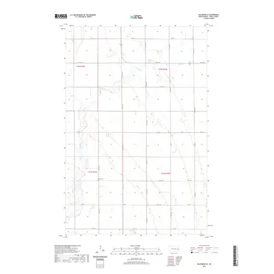
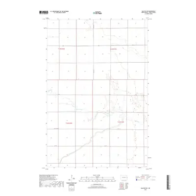
Historical Maps of Polk County Through Time
63 maps found
1918 Kelso
Traill County, ND

1919 Eldred
Traill County, ND
1943 Kelso
Traill County, ND
1963 Halstad SW
Traill County, ND
1963 Kelso
Traill County, ND
1964 Climax SW
Traill County, ND
1967 Hillsboro NW
Traill County, ND
1967 Mayville South
Traill County, ND
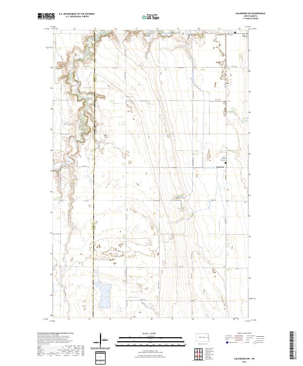
1968 Galesburg NW
Traill County, ND
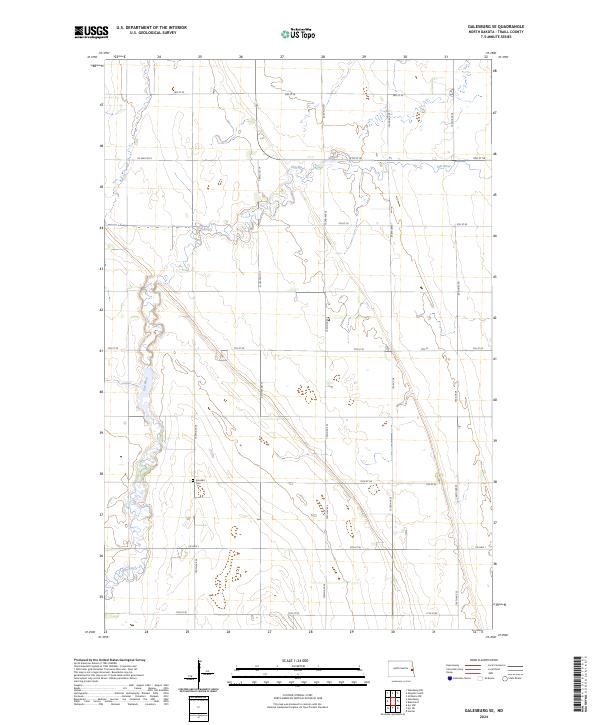
1968 Galesburg SE
Traill County, ND
1970 Hatton SW
Traill County, ND
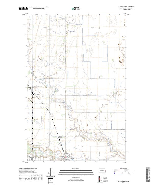
1970 Mayville North
Traill County, ND
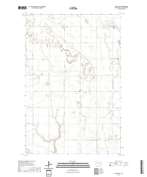
1971 Buxton SW
Traill County, ND
2011 Buxton SW
Traill County, ND
2011 Climax SW
Traill County, ND
2011 Galesburg NW
Traill County, ND
2011 Galesburg SE
Traill County, ND
2011 Halstad SW
Traill County, ND
2011 Hatton SW
Traill County, ND
2011 Hillsboro NW
Traill County, ND
2011 Kelso
Traill County, ND
2011 Mayville North
Traill County, ND
2011 Mayville South
Traill County, ND
2014 Buxton SW
Traill County, ND
2014 Climax SW
Traill County, ND
2014 Galesburg NW
Traill County, ND
2014 Galesburg SE
Traill County, ND
2014 Halstad SW
Traill County, ND
2014 Hatton SW
Traill County, ND
2014 Hillsboro NW
Traill County, ND
2014 Kelso
Traill County, ND
2014 Mayville North
Traill County, ND
2014 Mayville South
Traill County, ND
2017 Galesburg SE
Traill County, ND
2017 Hillsboro NW
Traill County, ND
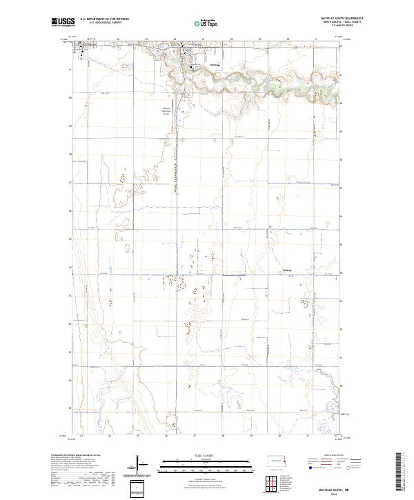
2017 Mayville South
Traill County, ND
2018 Buxton SW
Traill County, ND
2018 Climax SW
Traill County, ND
2018 Galesburg NW
Traill County, ND
2018 Halstad SW
Traill County, ND
2018 Hatton SW
Traill County, ND
2018 Kelso
Traill County, ND
2018 Mayville North
Traill County, ND
2020 Buxton SW
Traill County, ND
2020 Climax SW
Traill County, ND
2020 Galesburg NW
Traill County, ND
2020 Galesburg SE
Traill County, ND
2020 Halstad SW
Traill County, ND
2020 Hatton SW
Traill County, ND
2020 Hillsboro NW
Traill County, ND
2020 Kelso
Traill County, ND
2020 Mayville North
Traill County, ND
2020 Mayville South
Traill County, ND
2024 Buxton SW
Traill County, ND
2024 Climax SW
Traill County, ND
2024 Galesburg NW
Traill County, ND
2024 Galesburg SE
Traill County, ND
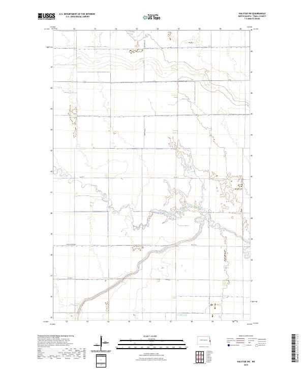
2024 Halstad SW
Traill County, ND
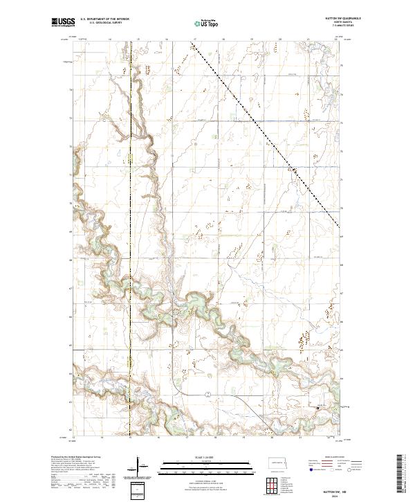
2024 Hatton SW
Traill County, ND
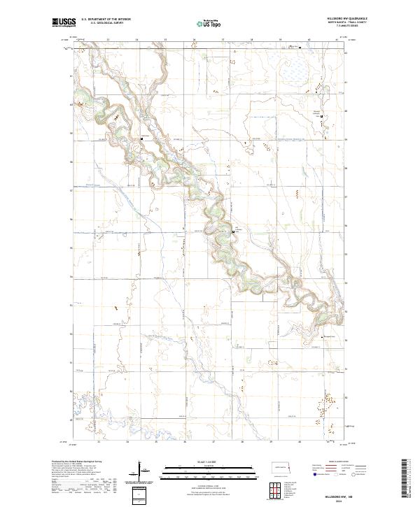
2024 Hillsboro NW
Traill County, ND
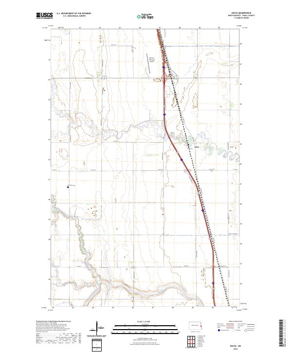
2024 Kelso
Traill County, ND
2024 Mayville North
Traill County, ND
2024 Mayville South
Traill County, ND