
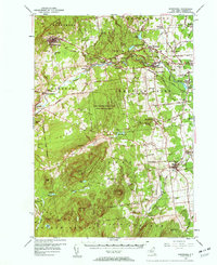
2023 Map of Ellenburg Mountain
USGS Topo · Published 2023About this map
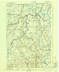
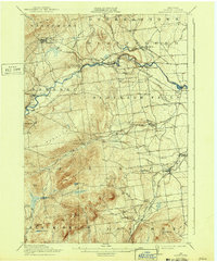
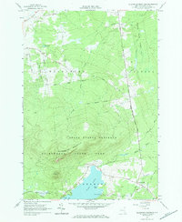
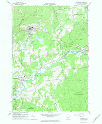
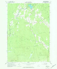
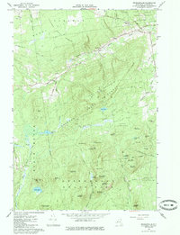
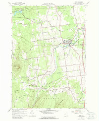
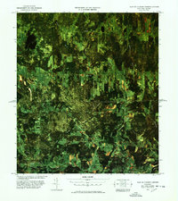
Ellenburg Mountain and Topknot Mountain dominate the high terrain of Clinton County in this Adirondack landscape. The peaks overlook the northern reach of Chazy Lake, where several named points of interest like Eagle Point and the waters of Seine Bay are clearly delineated. Numerous waterways, including the Great Chazy River and Saint Germain Brook, drain the elevations, while a network of rural routes such as Alder Bend Rd and Trombley Rd connect the area. The map shows a clear boundary between the high timberlands and the more developed corridors near Wilfred King Rd, providing an essential look at the modern drainage patterns and topography of this remote New York interior.
Find a feature on this map
31 named features on this map. Tap any name to fly to it.
Don’t see what you’re looking for? This feature index may not catch every label — zoom into the map to look around manually.
Map Details
Editions of this 2023 Ellenburg Mountain Map
This is the sole edition of this map. No revisions or reprints were ever made.
Historical Maps of Altona Through Time
53 maps found
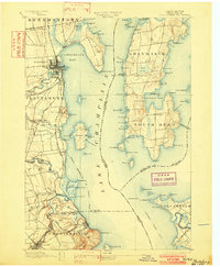
1894 Plattsburg
Clinton County, NY

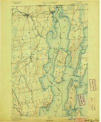
1895 Mooers
Clinton County, NY
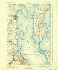
1895 Rouse Point
Clinton County, NY
1899 Mooers
Clinton County, NY
1906 Plattsburg
Clinton County, NY
1913 Dannemora
Clinton County, NY
1915 Churubusco
Clinton County, NY

1939 Plattsburg
Clinton County, NY

1941 Plattsburg
Clinton County, NY

1942 Mooers
Clinton County, NY

1943 Churubusco
Clinton County, NY
1943 Mooers
Clinton County, NY
1943 Plattsburg
Clinton County, NY
1956 Dannemora
Clinton County, NY
1956 Mooers
Clinton County, NY
1964 Churubusco
Clinton County, NY

1964 Ellenburg Center
Clinton County, NY
1964 Ellenburg Depot
Clinton County, NY
1964 Ellenburg Mountain
Clinton County, NY
1966 Altona
Clinton County, NY
1966 Beekmantown
Clinton County, NY
1966 Champlain
Clinton County, NY
1966 Dannemora
Clinton County, NY
1966 Jericho
Clinton County, NY

1966 Mooers
Clinton County, NY
1966 Peasleeville
Clinton County, NY
1966 Peru
Clinton County, NY

1968 Moffitsville
Clinton County, NY

1977 Cannon Corners Station
Clinton County, NY

1977 Champlain Port of Entry
Clinton County, NY

1977 Churubusco Station
Clinton County, NY
1977 East of Cannon Corners Station
Clinton County, NY

1977 Mooers Station
Clinton County, NY
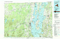
1986 Lake Champlain North
Clinton County, NY

2023 Altona
Clinton County, NY
2023 Altona OE N
Clinton County, NY

2023 Beekmantown
Clinton County, NY

2023 Champlain
Clinton County, NY
2023 Champlain OE N
Clinton County, NY

2023 Churubusco
Clinton County, NY
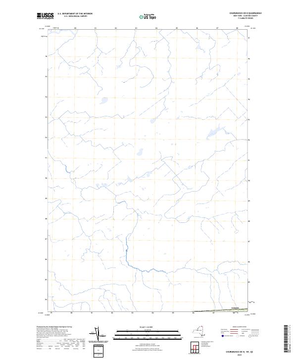
2023 Churubusco OE N
Clinton County, NY

2023 Dannemora
Clinton County, NY

2023 Ellenburg Center
Clinton County, NY

2023 Ellenburg Depot
Clinton County, NY
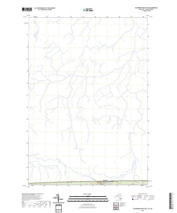
2023 Ellenburg Depot OE N
Clinton County, NY
2023 Ellenburg Mountain
Clinton County, NY

2023 Jericho
Clinton County, NY

2023 Moffitsville
Clinton County, NY

2023 Mooers
Clinton County, NY

2023 Mooers OE N
Clinton County, NY

2023 Peasleeville
Clinton County, NY

2023 Peru
Clinton County, NY

2023 Wilmington
Clinton County, NY