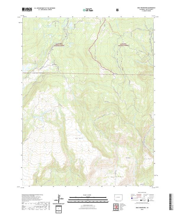
2022 Map of Gray Reservoir
USGS Topo · Published 2022About this map
Grand Mesa National Forest and Gunnison National Forest converge in this high-elevation landscape of western Colorado, where a complex network of reservoirs and irrigation ditches supports the plateau's water needs. The hydrology is defined by a series of upland catchments including Brockman Reservoir Number 1, Gray Reservoir, and West Reservoir Number One. These waters feed into significant man-made infrastructure like the Overland Ditch and Wakefield Ditch, which traverse the slopes of Oak Mesa and Wakefield Mesa. The terrain transitions from the forested heights of Duke Basin and High Park down toward the open reaches of The Basin and Fry Mesa. Access to these remote areas is maintained through a combination of forest roads like Stokey Creek Rd and specialized routes such as the Leroux Creek Snowmobile Trl, illustrating the dual-use character of the land for utility and recreation.
Find a feature on this map
50 named features on this map. Tap any name to fly to it.
Don’t see what you’re looking for? This feature index may not catch every label — zoom into the map to look around manually.
Map Details
Editions of this 2022 Gray Reservoir Map
This is the sole edition of this map. No revisions or reprints were ever made.
Other maps of this area

1955 · Lazear
USGS Topo · 1:24,000

1956 · Montrose
USGS Topo · 1:250,000

1957 · Leadville
USGS Topo · 1:250,000

1959 · Leadville
USGS Topo · 1:250,000

1959 · Montrose
USGS Topo · 1:250,000

1960 · Leadville
USGS Topo · 1:250,000

1960 · Montrose
USGS Topo · 1:250,000

1960 · Leon Peak
USGS Topo · 1:24,000

1961 · Electric Mountain
USGS Topo · 1:24,000

1961 · Chalk Mountain
USGS Topo · 1:24,000