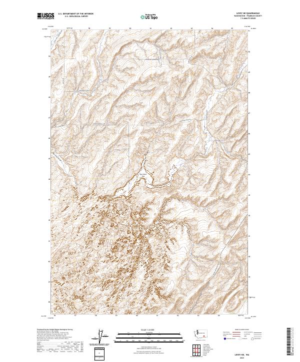
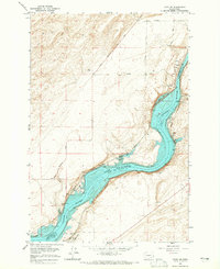
2023 Map of Levey NE
USGS Topo · Published 2023About this map
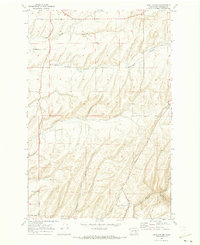
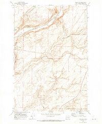
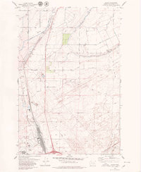
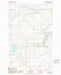
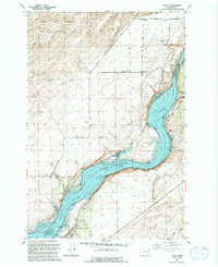
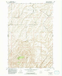
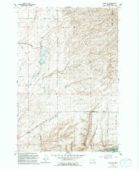
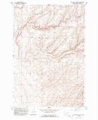
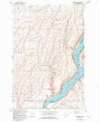
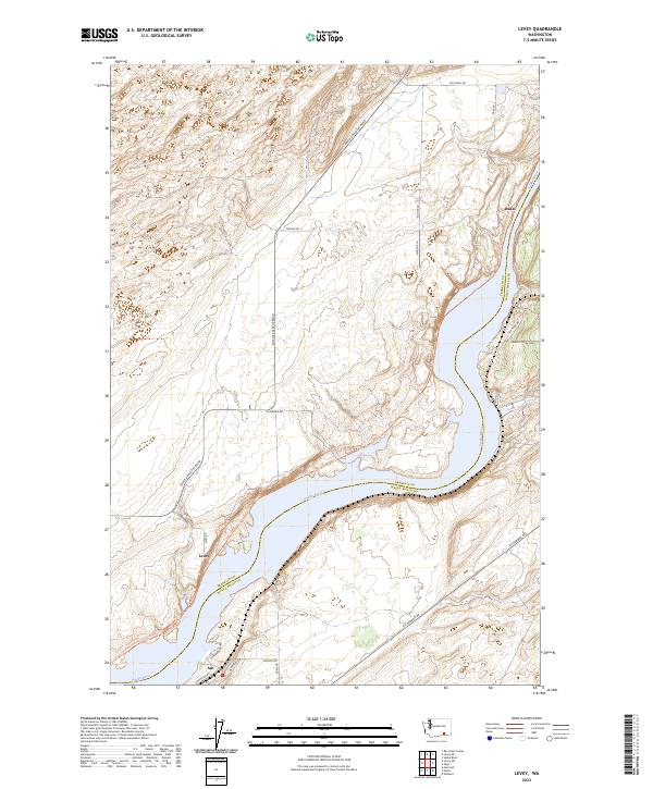
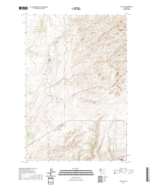
Juniper Dunes Wilderness defines the southern portion of this landscape, where the shifting sands and arid vegetation meet the organized patterns of eastern Washington agriculture. The terrain is marked by the deep incisions of Smith Canyon and the broad, dry expanse of Rye Grass Flat. North of the wilderness boundary, a network of rural roads such as Haverland Koontz Rd and Gertler Rd trace the ridges and coulees, reflecting the isolation and rugged utility of this Franklin County interior. The transition from the alluvial drainages of Rye Grass Coulee to the high plateaus crossed by E Blackman Ridge Rd illustrates the geological character of the region. Local access is anchored by the Pasco Kahlotus Road in the southeast, a primary corridor connecting this remote rangeland to the larger river settlements to the west.
Find a feature on this map
18 named features on this map. Tap any name to fly to it.
Don’t see what you’re looking for? This feature index may not catch every label — zoom into the map to look around manually.
Map Details
Editions of this 2023 Levey NE Map
This is the sole edition of this map. No revisions or reprints were ever made.
Historical Maps of Franklin County Through Time
60 maps found
1924 Hanford
Franklin County, WA

1925 Scooteney Lake
Franklin County, WA

1948 Ayer
Franklin County, WA

1950 Haas
Franklin County, WA

1951 Hanford
Franklin County, WA

1951 Scooteney Lake
Franklin County, WA
1963 Rye Grass Coulee
Franklin County, WA
1964 Levey NE
Franklin County, WA
1964 Levey SE
Franklin County, WA
1964 Levey SW
Franklin County, WA

1965 Eltopia
Franklin County, WA
1965 Hanford
Franklin County, WA
1966 Snake River
Franklin County, WA
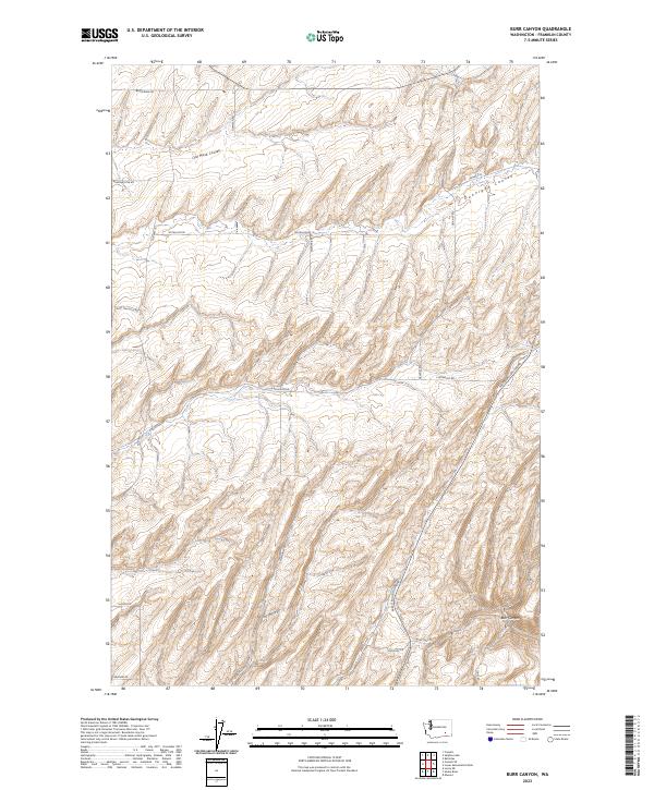
1970 Burr Canyon
Franklin County, WA
1970 Connell SE
Franklin County, WA
1970 Frischknecht
Franklin County, WA
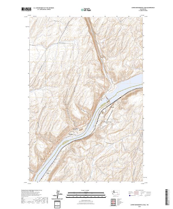
1970 Lower Monumental Dam
Franklin County, WA
1970 Mesa East
Franklin County, WA
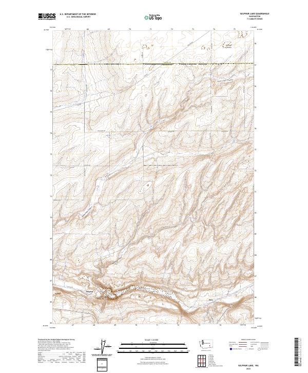
1970 Sulphur Lake
Franklin County, WA
1975 Mathews Corner
Franklin County, WA
1978 Columbia Point
Franklin County, WA
1979 Glade
Franklin County, WA
1981 Sperry
Franklin County, WA
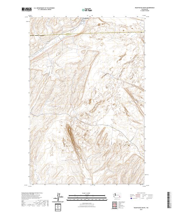
1981 Washtucna South
Franklin County, WA
1986 Eagle Lakes
Franklin County, WA
1986 Hanford NE
Franklin County, WA
1986 Mesa West
Franklin County, WA
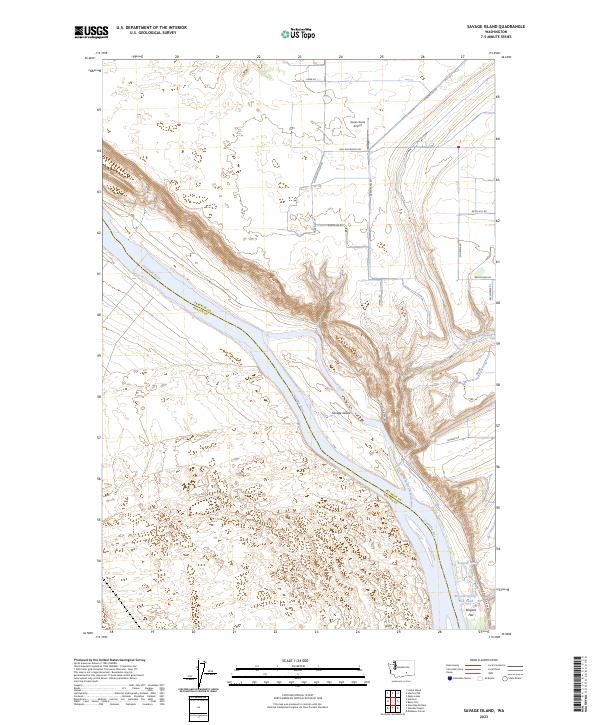
1986 Savage Island
Franklin County, WA
1986 Scooteney Reservoir
Franklin County, WA
1991 Levey
Franklin County, WA
1991 Levey NE
Franklin County, WA
1991 Levey SW
Franklin County, WA
1991 Rye Grass Coulee
Franklin County, WA
1991 Snake River
Franklin County, WA
1992 Columbia Point
Franklin County, WA
1992 Eltopia
Franklin County, WA
1992 Glade
Franklin County, WA
1992 Mathews Corner
Franklin County, WA
2023 Burr Canyon
Franklin County, WA
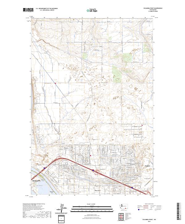
2023 Columbia Point
Franklin County, WA
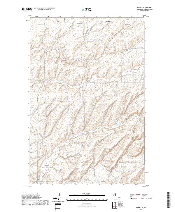
2023 Connell SE
Franklin County, WA
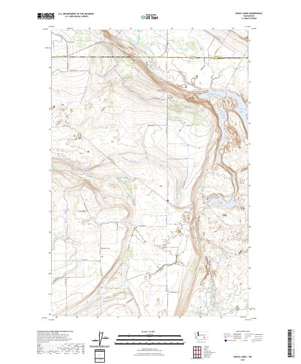
2023 Eagle Lakes
Franklin County, WA
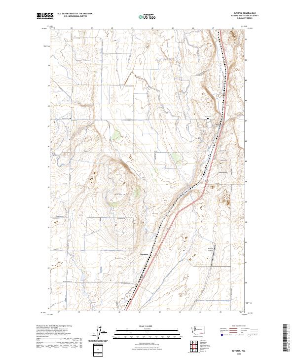
2023 Eltopia
Franklin County, WA
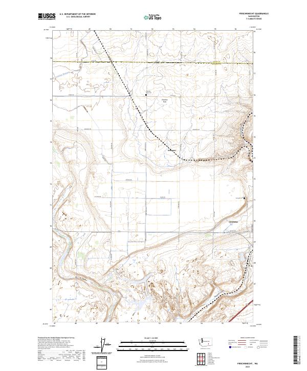
2023 Frischknecht
Franklin County, WA
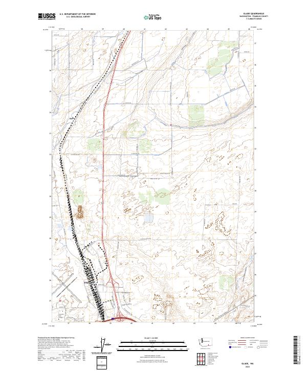
2023 Glade
Franklin County, WA
2023 Hanford NE
Franklin County, WA
2023 Levey
Franklin County, WA
2023 Levey NE
Franklin County, WA
2023 Levey SW
Franklin County, WA
2023 Lower Monumental Dam
Franklin County, WA
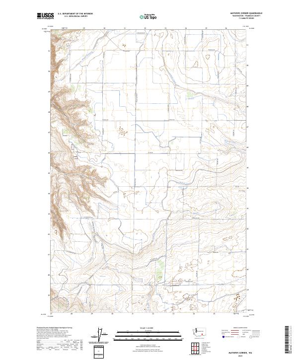
2023 Mathews Corner
Franklin County, WA
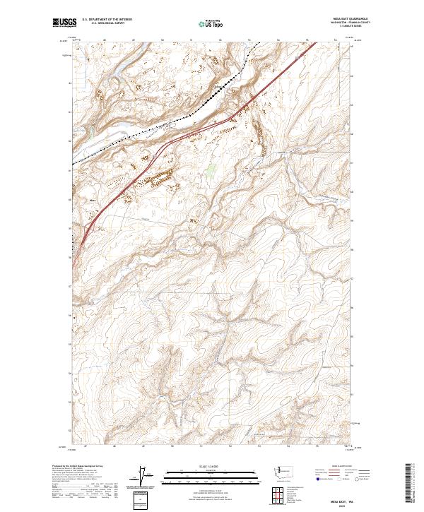
2023 Mesa East
Franklin County, WA
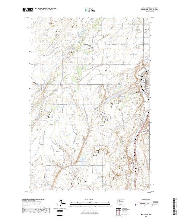
2023 Mesa West
Franklin County, WA
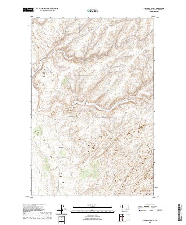
2023 Rye Grass Coulee
Franklin County, WA
2023 Savage Island
Franklin County, WA
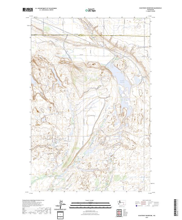
2023 Scooteney Reservoir
Franklin County, WA
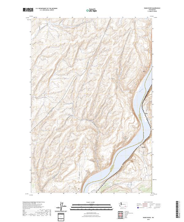
2023 Snake River
Franklin County, WA
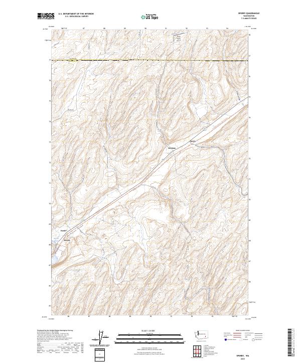
2023 Sperry
Franklin County, WA
2023 Sulphur Lake
Franklin County, WA
2023 Washtucna South
Franklin County, WA