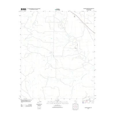
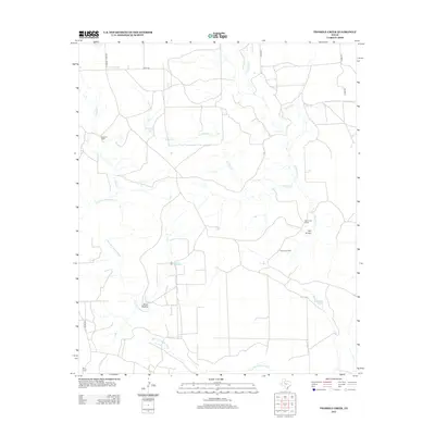
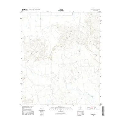
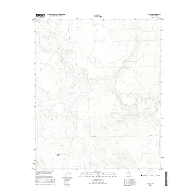
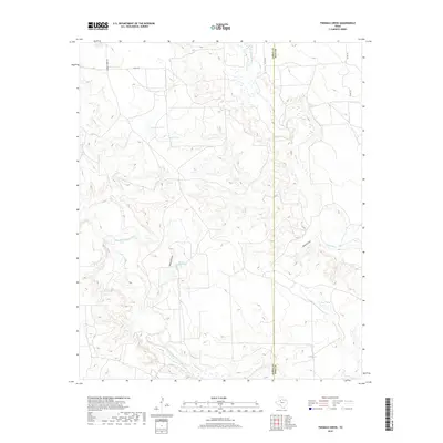
2022 Map of Middle Creek
USGS Topo · Published 2022About this map
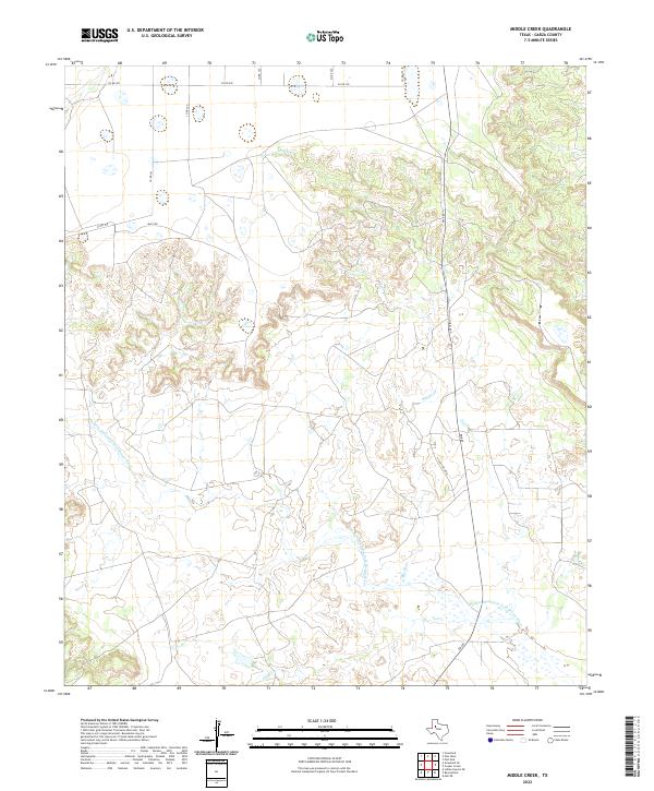
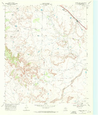
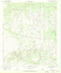
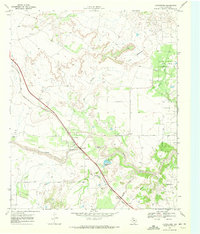
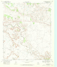
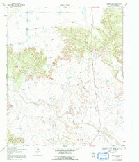
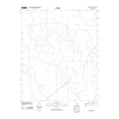
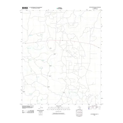
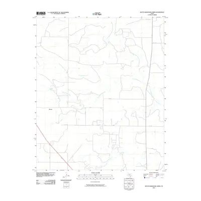
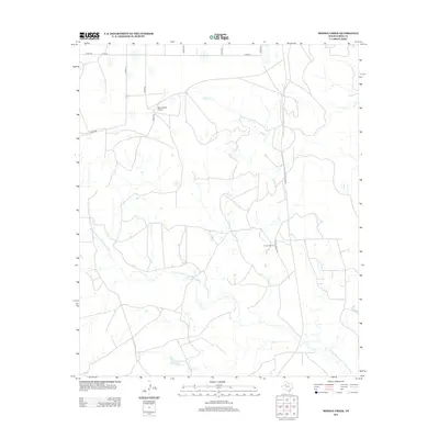
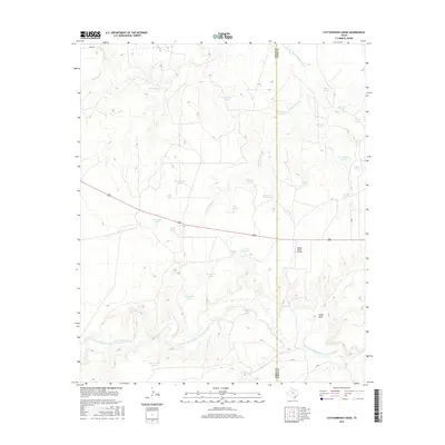
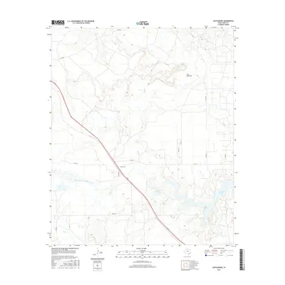
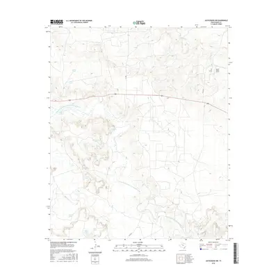
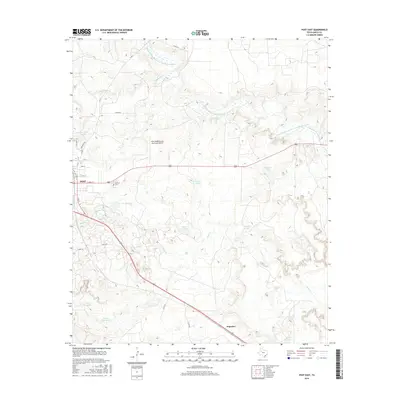
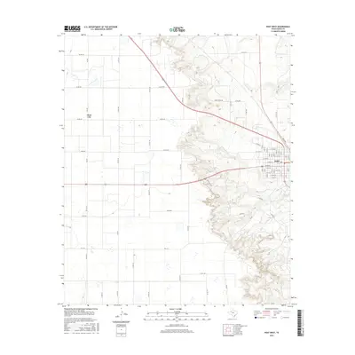
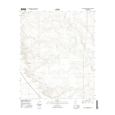
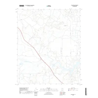
The Double Mountain Fork Brazos River carves a complex path through this West Texas landscape, defined by sharp elevation changes and winding drainage patterns. High-desert ranching and rural infrastructure are prominent, with the U Lazy S Rch Rd serving the interior reaches of the county. Smaller waterways, including Middle Cr and Salt Cr, feed into the primary river system, illustrating the natural water-flow dependencies of this semi-arid region. A network of county roads like Co RD 290 and Macy Rd crisscross the northern plateaus, providing a clear picture of the modern-day land divisions and transportation corridors that support the area's agricultural and ranching operations.
Find a feature on this map
13 named features on this map. Tap any name to fly to it.
Don’t see what you’re looking for? This feature index may not catch every label — zoom into the map to look around manually.
Map Details
Editions of this 2022 Middle Creek Map
This is the sole edition of this map. No revisions or reprints were ever made.
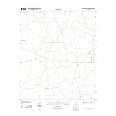
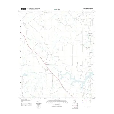
Historical Maps of Garza County Through Time
66 maps found
1962 Twomile Creek
Garza County, TX
1968 South Dokegood Creek
Garza County, TX
1969 Cap Rock SE
Garza County, TX
1969 Cooper Creek
Garza County, TX
1969 Cottonwood Creek
Garza County, TX
1969 Justiceburg
Garza County, TX
1969 Justiceburg NW
Garza County, TX
1969 Middle Creek
Garza County, TX
1969 Post East
Garza County, TX
1969 Post West
Garza County, TX
1969 Verbena
Garza County, TX
2010 Cap Rock SE
Garza County, TX
2010 Cooper Creek
Garza County, TX
2010 Cottonwood Creek
Garza County, TX
2010 Justiceburg
Garza County, TX
2010 Justiceburg NW
Garza County, TX
2010 Middle Creek
Garza County, TX
2010 Post East
Garza County, TX
2010 Post West
Garza County, TX
2010 South Dokegood Creek
Garza County, TX
2010 Twomile Creek
Garza County, TX
2010 Verbena
Garza County, TX
2012 Cap Rock SE
Garza County, TX
2012 Cooper Creek
Garza County, TX
2012 Cottonwood Creek
Garza County, TX
2012 Justiceburg
Garza County, TX
2012 Justiceburg NW
Garza County, TX
2012 Middle Creek
Garza County, TX
2012 Post East
Garza County, TX
2012 Post West
Garza County, TX
2012 South Dokegood Creek
Garza County, TX
2012 Twomile Creek
Garza County, TX
2012 Verbena
Garza County, TX
2016 Cap Rock SE
Garza County, TX
2016 Cooper Creek
Garza County, TX
2016 Cottonwood Creek
Garza County, TX
2016 Justiceburg
Garza County, TX
2016 Justiceburg NW
Garza County, TX
2016 Middle Creek
Garza County, TX
2016 Post East
Garza County, TX
2016 Post West
Garza County, TX
2016 South Dokegood Creek
Garza County, TX
2016 Twomile Creek
Garza County, TX
2016 Verbena
Garza County, TX
2019 Cap Rock SE
Garza County, TX
2019 Cooper Creek
Garza County, TX
2019 Cottonwood Creek
Garza County, TX
2019 Justiceburg
Garza County, TX

2019 Justiceburg NW
Garza County, TX
2019 Middle Creek
Garza County, TX
2019 Post East
Garza County, TX
2019 Post West
Garza County, TX

2019 South Dokegood Creek
Garza County, TX
2019 Twomile Creek
Garza County, TX
2019 Verbena
Garza County, TX
2022 Cap Rock SE
Garza County, TX
2022 Cooper Creek
Garza County, TX
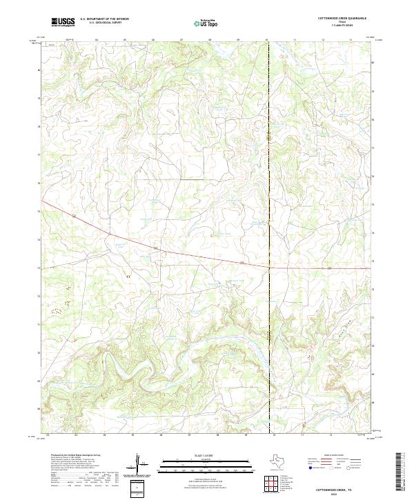
2022 Cottonwood Creek
Garza County, TX
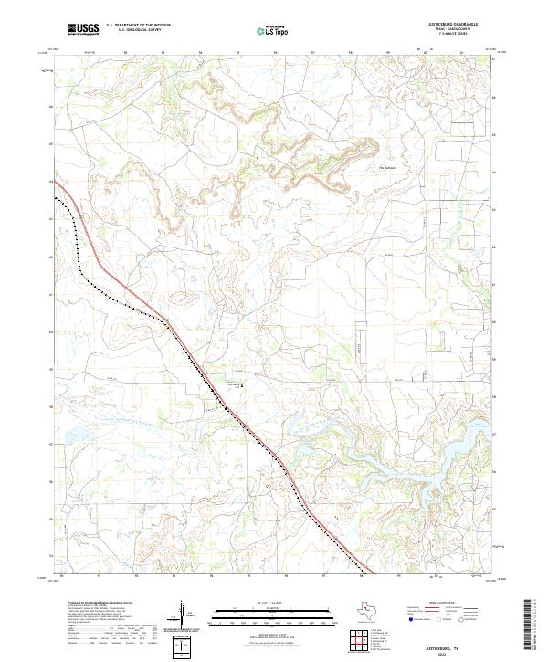
2022 Justiceburg
Garza County, TX
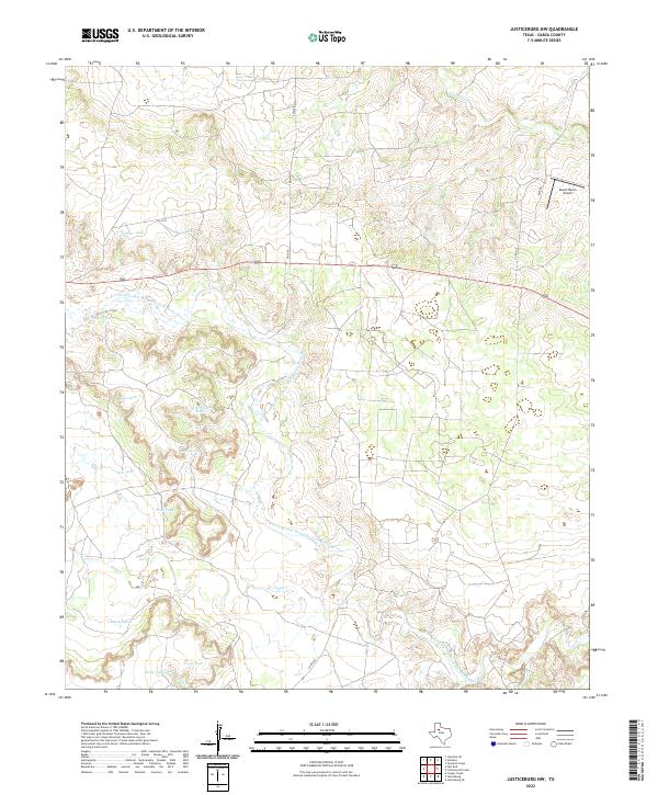
2022 Justiceburg NW
Garza County, TX
2022 Middle Creek
Garza County, TX
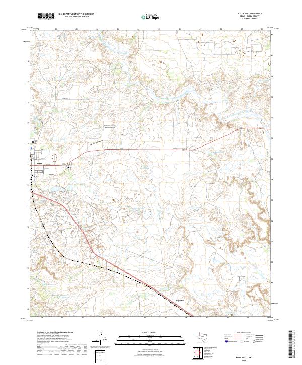
2022 Post East
Garza County, TX
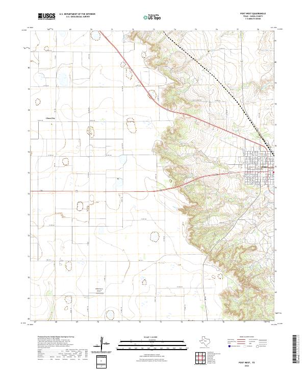
2022 Post West
Garza County, TX
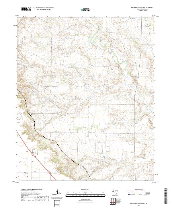
2022 South Dokegood Creek
Garza County, TX
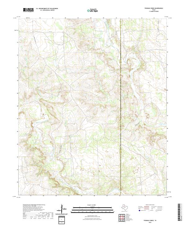
2022 Twomile Creek
Garza County, TX
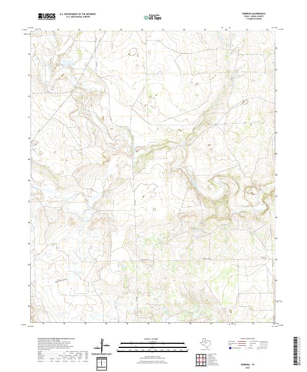
2022 Verbena
Garza County, TX