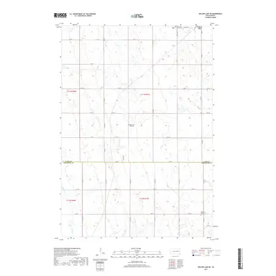
2021 Map of Cherry Lake
USGS Topo · Published 2021About this map
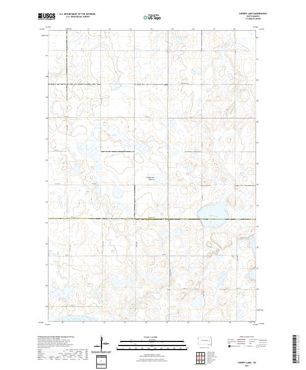
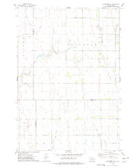
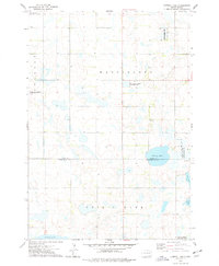
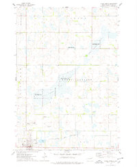
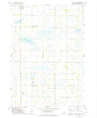
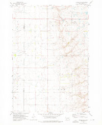
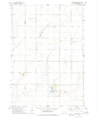
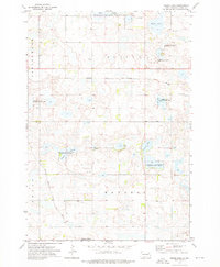
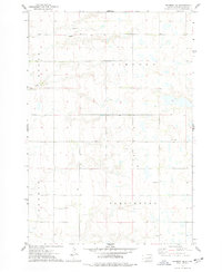
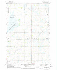
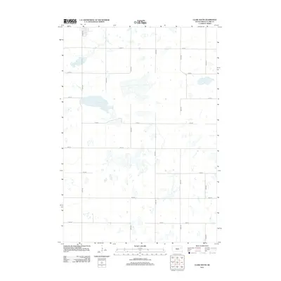
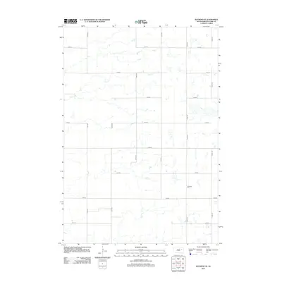
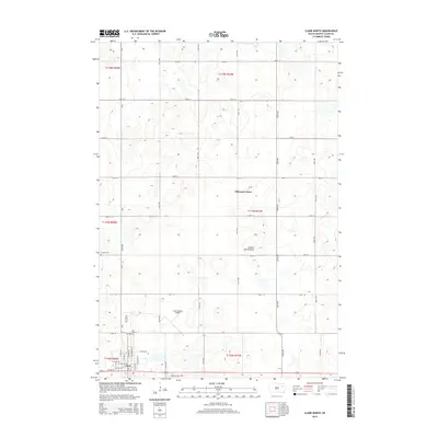
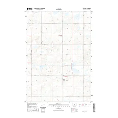
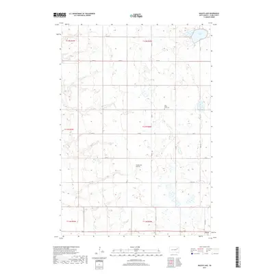
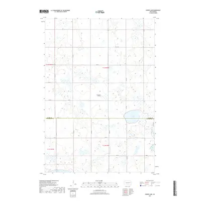
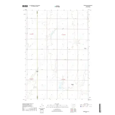
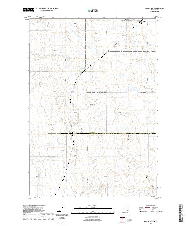
Coteau des Prairies, a vast glacial upland, dominates the topography of this eastern South Dakota landscape. The terrain is characterized by a high density of prairie potholes and small wetlands, with Cherry Lake and a northern portion of Spirit Lake serving as the primary permanent water bodies. The 2021 survey reveals a strictly rectilinear road network that follows the Public Land Survey System section lines, including Efraimson Dr and Plum Lake Rd. The boundary between Clark County and Kingsbury County bisects the southern half of the quadrangle, marking a jurisdictional divide through an area otherwise defined by its uniform agricultural grid and scattered depressional basins.
Find a feature on this map
25 named features on this map. Tap any name to fly to it.
Don’t see what you’re looking for? This feature index may not catch every label — zoom into the map to look around manually.
Map Details
Editions of this 2021 Cherry Lake Map
This is the sole edition of this map. No revisions or reprints were ever made.
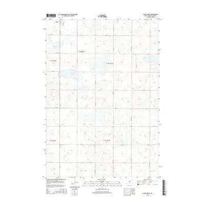
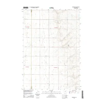
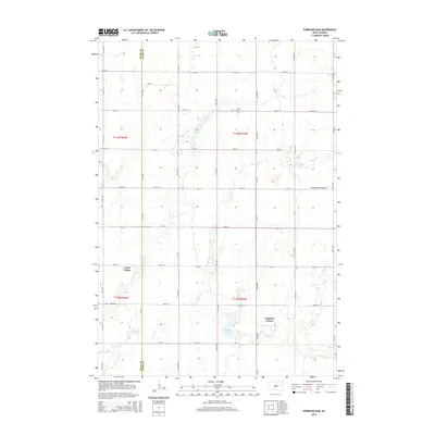
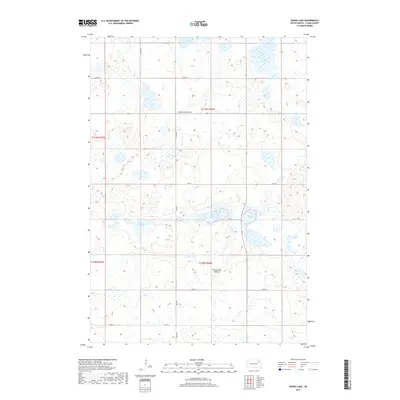
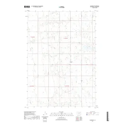
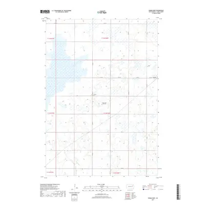
Historical Maps of Spirit Lake Township Through Time
65 maps found
1973 Baileys Lake
Clark County, SD
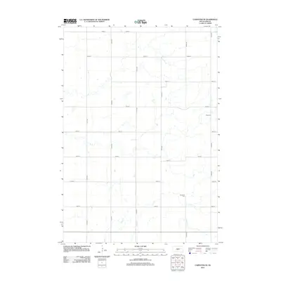
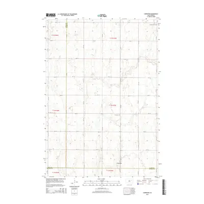
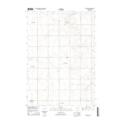
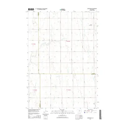
1973 Carpenter
Clark County, SD
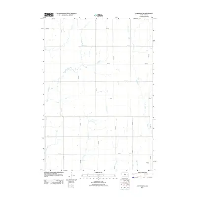
1973 Carpenter NE
Clark County, SD
1973 Carpenter SE
Clark County, SD
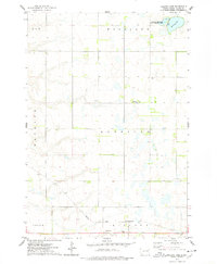
1973 Cherry Lake
Clark County, SD
1973 Clark North
Clark County, SD
1973 Clark South
Clark County, SD
1973 Crocker SW
Clark County, SD
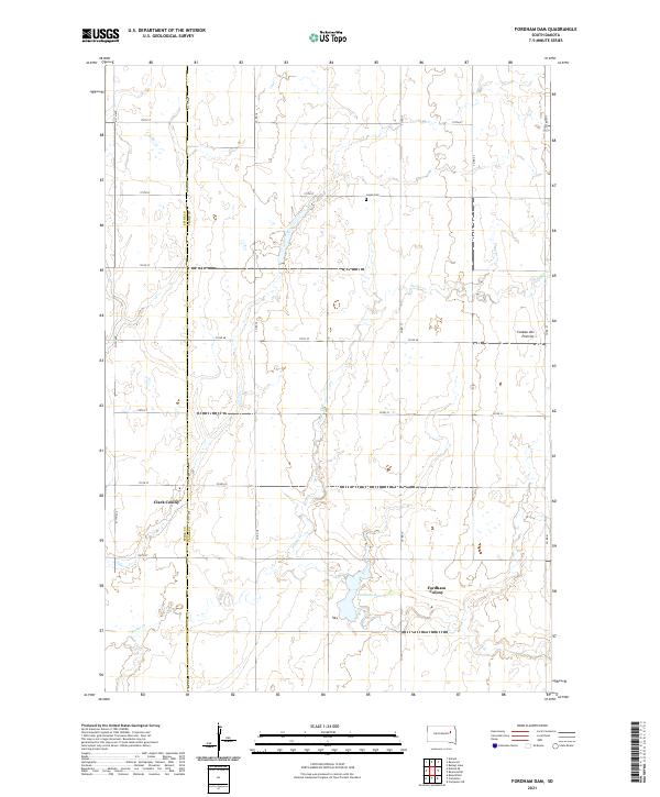
1973 Fordham Dam
Clark County, SD
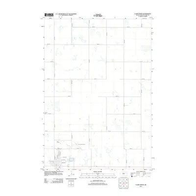
1973 Heggs Lake
Clark County, SD
1973 Raymond SE
Clark County, SD
1973 Vienna West
Clark County, SD
1973 Willow Lake SW
Clark County, SD
2012 Baileys Lake
Clark County, SD
2012 Carpenter
Clark County, SD
2012 Carpenter NE
Clark County, SD
2012 Carpenter SE
Clark County, SD
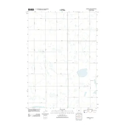
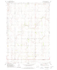
2012 Cherry Lake
Clark County, SD
2012 Clark North
Clark County, SD
2012 Clark South
Clark County, SD
2012 Crocker SW
Clark County, SD
2012 Fordham Dam
Clark County, SD
2012 Heggs Lake
Clark County, SD
2012 Raymond SE
Clark County, SD
2012 Vienna West
Clark County, SD
2012 Willow Lake SW
Clark County, SD
2015 Baileys Lake
Clark County, SD
2015 Carpenter
Clark County, SD
2015 Carpenter NE
Clark County, SD
2015 Carpenter SE
Clark County, SD
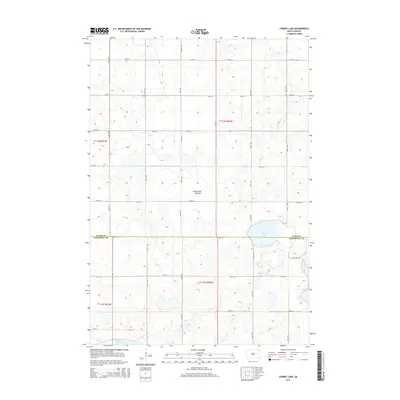
2015 Cherry Lake
Clark County, SD
2015 Clark North
Clark County, SD
2015 Clark South
Clark County, SD
2015 Crocker SW
Clark County, SD
2015 Fordham Dam
Clark County, SD
2015 Heggs Lake
Clark County, SD
2015 Raymond SE
Clark County, SD
2015 Vienna West
Clark County, SD
2015 Willow Lake SW
Clark County, SD
2017 Baileys Lake
Clark County, SD
2017 Carpenter
Clark County, SD
2017 Carpenter NE
Clark County, SD
2017 Carpenter SE
Clark County, SD
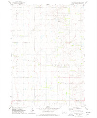
2017 Cherry Lake
Clark County, SD
2017 Clark North
Clark County, SD
2017 Clark South
Clark County, SD
2017 Crocker SW
Clark County, SD
2017 Fordham Dam
Clark County, SD
2017 Heggs Lake
Clark County, SD
2017 Raymond SE
Clark County, SD
2017 Vienna West
Clark County, SD
2017 Willow Lake SW
Clark County, SD
2021 Baileys Lake
Clark County, SD
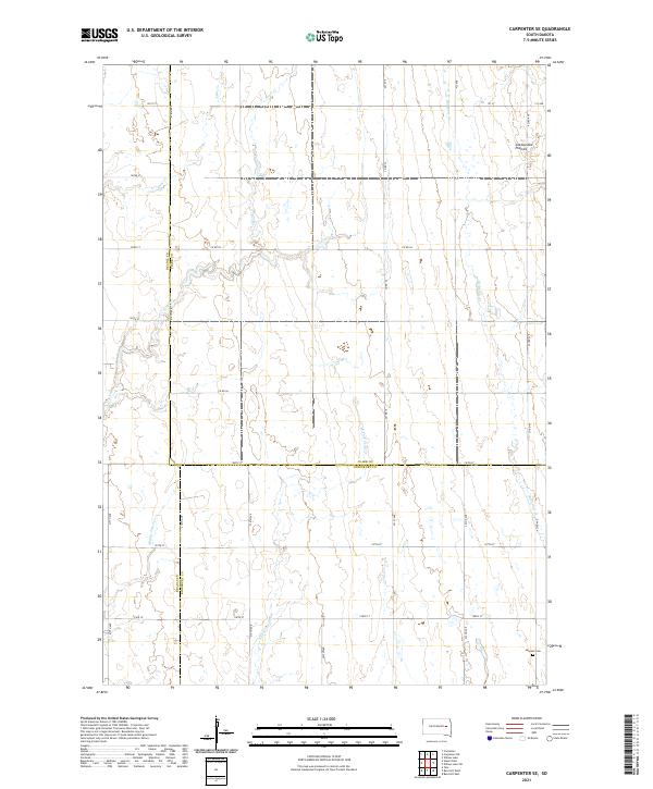
2021 Carpenter
Clark County, SD
2021 Carpenter NE
Clark County, SD
2021 Carpenter SE
Clark County, SD
2021 Cherry Lake
Clark County, SD
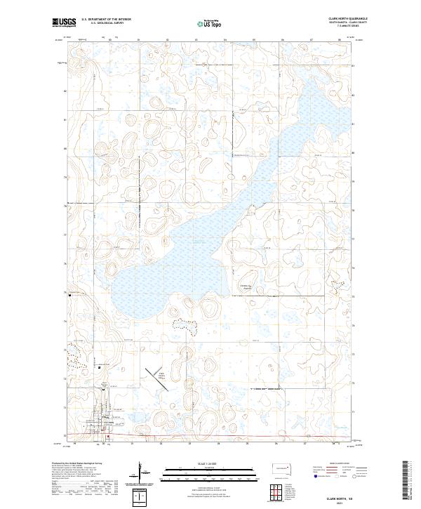
2021 Clark North
Clark County, SD
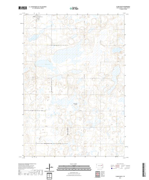
2021 Clark South
Clark County, SD
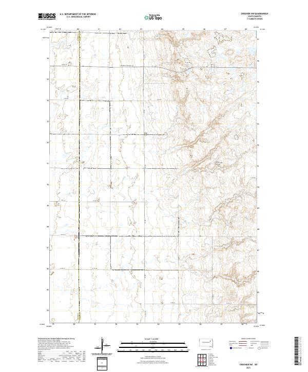
2021 Crocker SW
Clark County, SD
2021 Fordham Dam
Clark County, SD
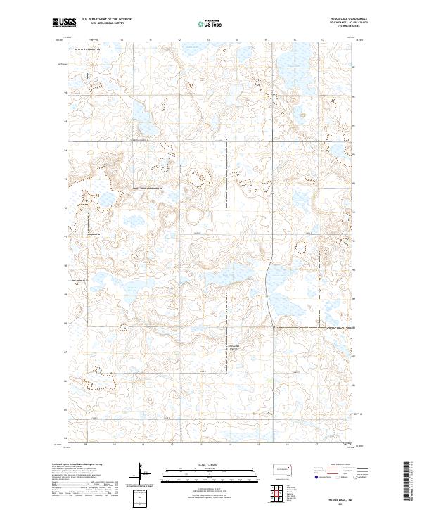
2021 Heggs Lake
Clark County, SD
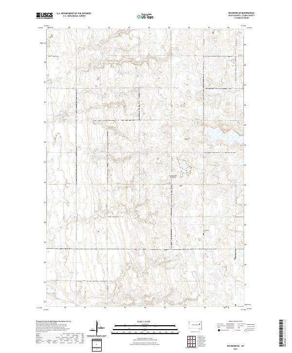
2021 Raymond SE
Clark County, SD
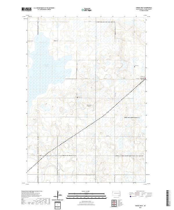
2021 Vienna West
Clark County, SD
2021 Willow Lake SW
Clark County, SD