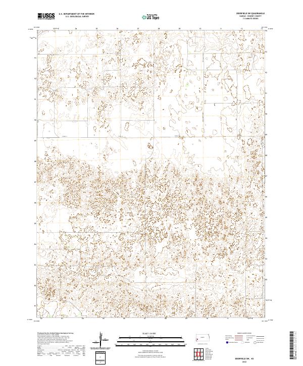
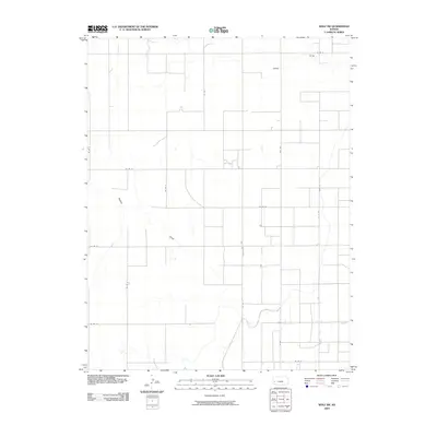
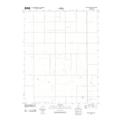
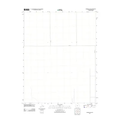
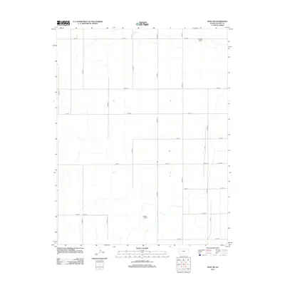
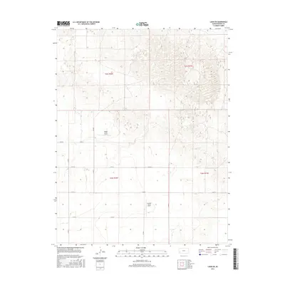
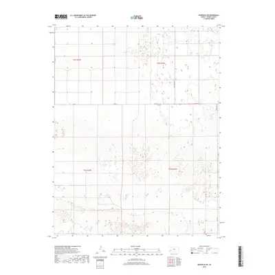
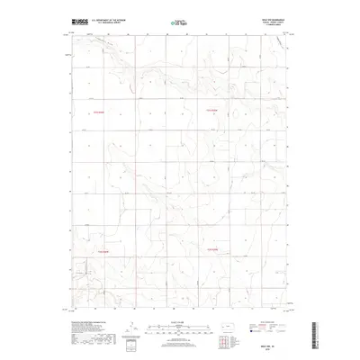
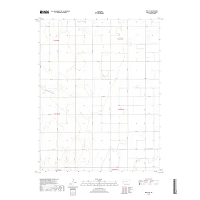
2022 Map of Deerfield SW
USGS Topo · Published 2022About this map
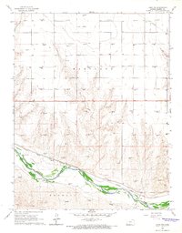
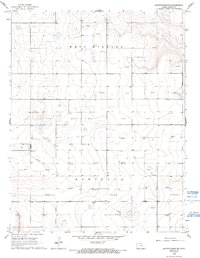
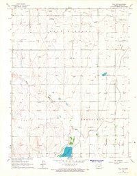
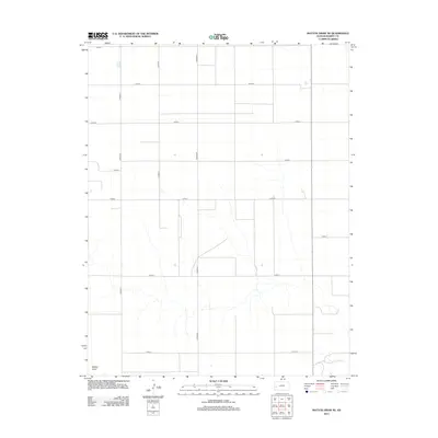
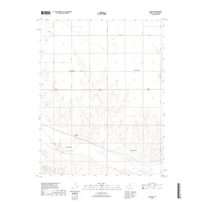
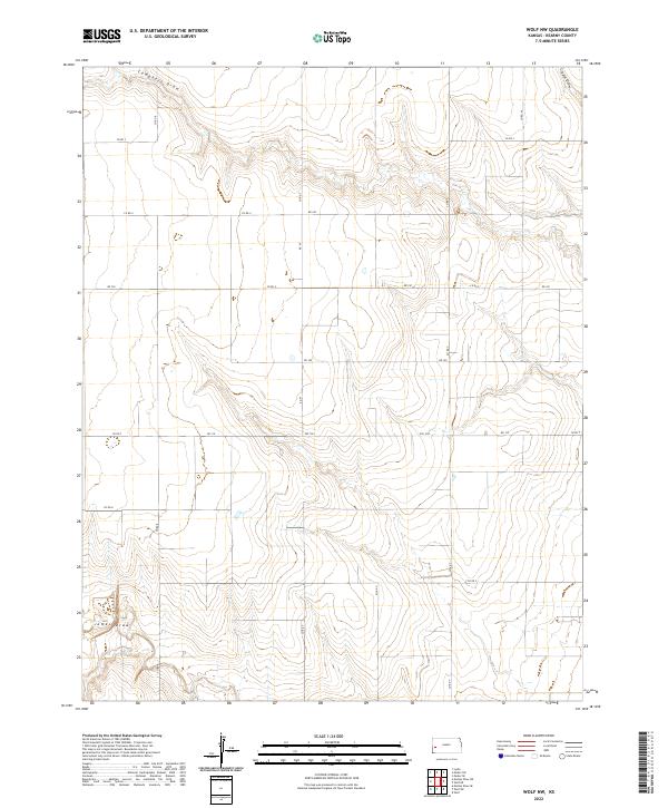
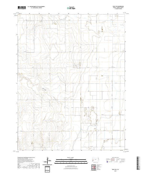
Dune-like depressions and shifting topography define this corner of the High Plains in Kearny County, where the landscape is etched by a strict grid of section lines and rural connectors. The area is defined by its agricultural layout, with primary access routes like Tate Lane Co Rd V and Co Rd 31 providing the only structured navigation through the undulating terrain. These roads delineate the boundaries between T25s R35w and T26s R35w, revealing the systematic organization of the Public Land Survey System in western Kansas.
Find a feature on this map
8 named features on this map. Tap any name to fly to it.
Don’t see what you’re looking for? This feature index may not catch every label — zoom into the map to look around manually.
Map Details
Editions of this 2022 Deerfield SW Map
This is the sole edition of this map. No revisions or reprints were ever made.
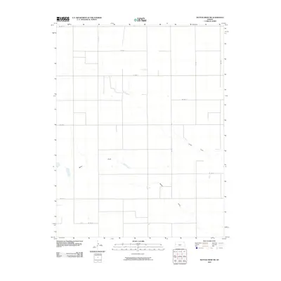
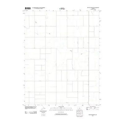
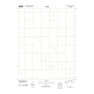
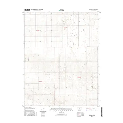
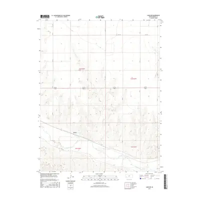
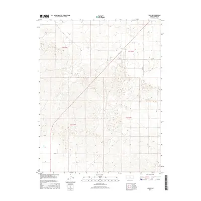
Historical Maps of Kearny County Through Time
61 maps found

1891 Larned
Kearny County, KS
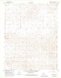
1960 Deerfield SW
Kearny County, KS
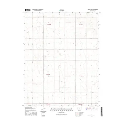
1965 Mattox Draw NE
Kearny County, KS
1965 Mattox Draw NW
Kearny County, KS

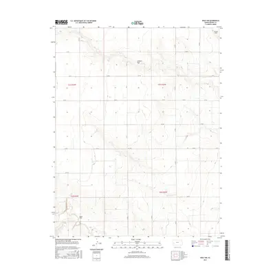
1965 Wolf NW
Kearny County, KS
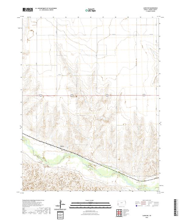
1966 Lakin NW
Kearny County, KS
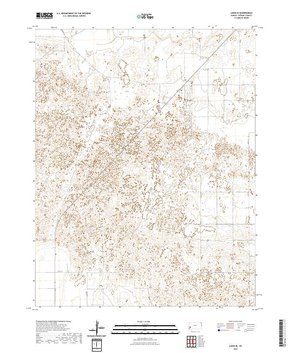
1966 Lakin SE
Kearny County, KS
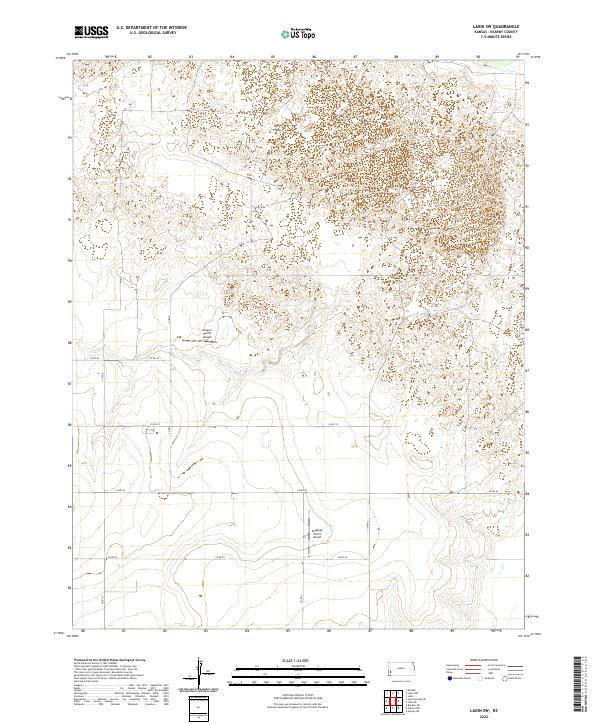
1966 Lakin SW
Kearny County, KS
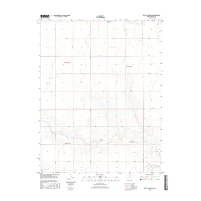
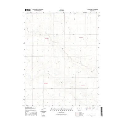
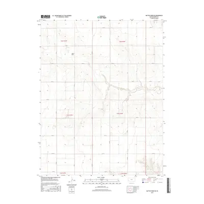
1966 Mattox Draw SE
Kearny County, KS
1966 Mattox Draw SW
Kearny County, KS
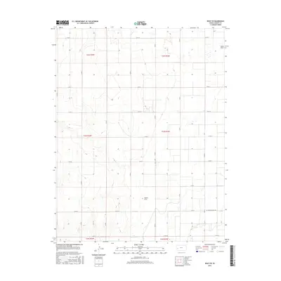
1966 Wolf SW
Kearny County, KS
2009 Deerfield SW
Kearny County, KS
2009 Wolf NW
Kearny County, KS
2009 Wolf SW
Kearny County, KS
2010 Lakin NW
Kearny County, KS
2010 Lakin SE
Kearny County, KS
2010 Lakin SW
Kearny County, KS
2010 Mattox Draw NE
Kearny County, KS
2010 Mattox Draw NW
Kearny County, KS
2010 Mattox Draw SE
Kearny County, KS
2010 Mattox Draw SW
Kearny County, KS
2012 Deerfield SW
Kearny County, KS
2012 Lakin NW
Kearny County, KS
2012 Lakin SE
Kearny County, KS
2012 Lakin SW
Kearny County, KS
2012 Mattox Draw NE
Kearny County, KS
2012 Mattox Draw NW
Kearny County, KS

2012 Mattox Draw SE
Kearny County, KS
2012 Mattox Draw SW
Kearny County, KS
2012 Wolf NW
Kearny County, KS
2012 Wolf SW
Kearny County, KS
2015 Deerfield SW
Kearny County, KS
2015 Lakin NW
Kearny County, KS
2015 Lakin SE
Kearny County, KS
2015 Lakin SW
Kearny County, KS
2015 Mattox Draw NE
Kearny County, KS
2015 Mattox Draw NW
Kearny County, KS
2015 Mattox Draw SE
Kearny County, KS
2015 Mattox Draw SW
Kearny County, KS
2015 Wolf NW
Kearny County, KS
2015 Wolf SW
Kearny County, KS
2018 Deerfield SW
Kearny County, KS
2018 Lakin NW
Kearny County, KS
2018 Lakin SE
Kearny County, KS
2018 Lakin SW
Kearny County, KS
2018 Mattox Draw NE
Kearny County, KS
2018 Mattox Draw NW
Kearny County, KS
2018 Mattox Draw SE
Kearny County, KS
2018 Mattox Draw SW
Kearny County, KS
2018 Wolf NW
Kearny County, KS
2018 Wolf SW
Kearny County, KS
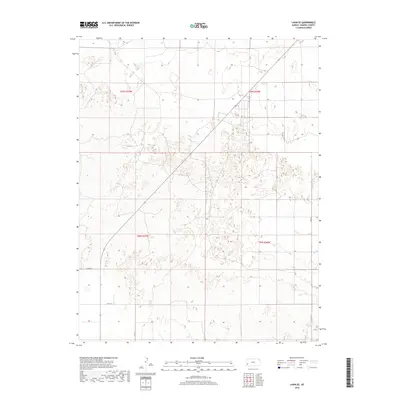
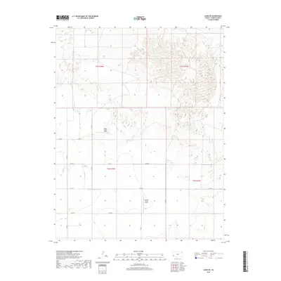
2022 Deerfield SW
Kearny County, KS
2022 Lakin NW
Kearny County, KS
2022 Lakin SE
Kearny County, KS
2022 Lakin SW
Kearny County, KS
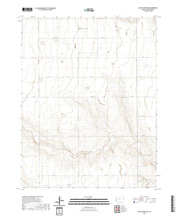
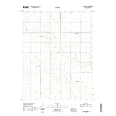
2022 Mattox Draw NE
Kearny County, KS
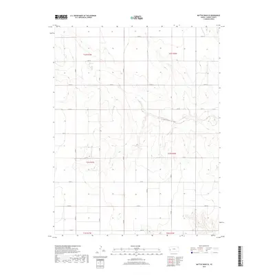
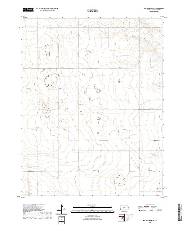
2022 Mattox Draw NW
Kearny County, KS
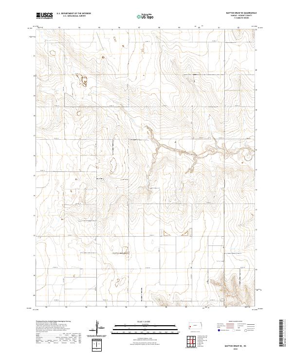
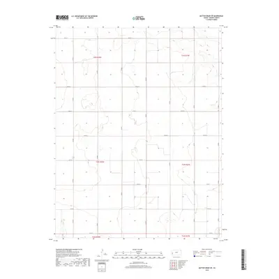
2022 Mattox Draw SE
Kearny County, KS
2022 Mattox Draw SW
Kearny County, KS
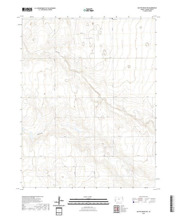
2022 Wolf NW
Kearny County, KS
2022 Wolf SW
Kearny County, KS