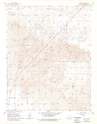
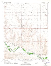
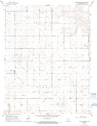
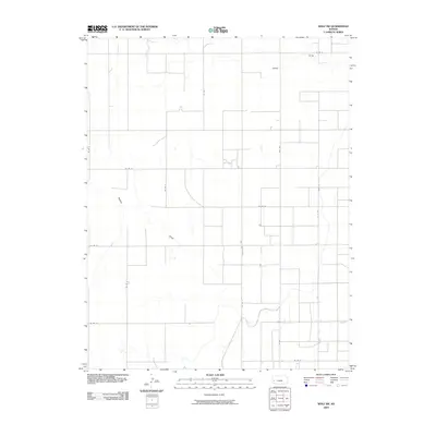
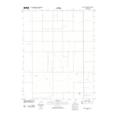
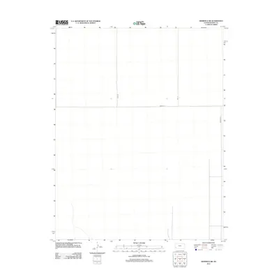
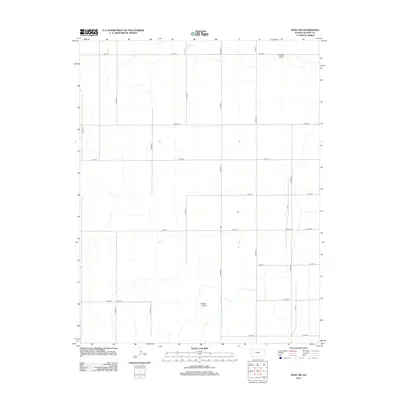
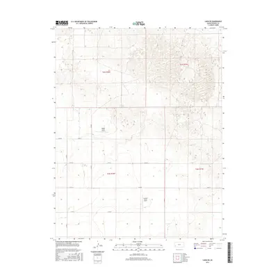
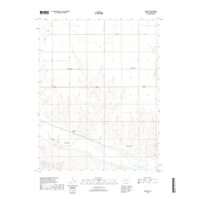
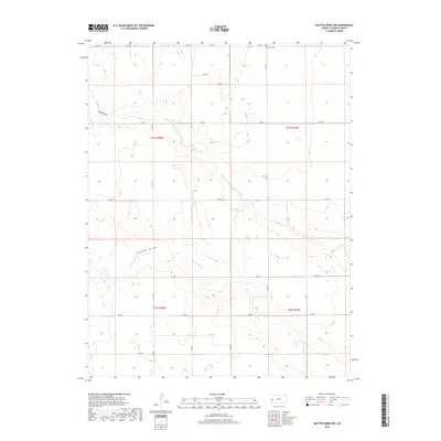
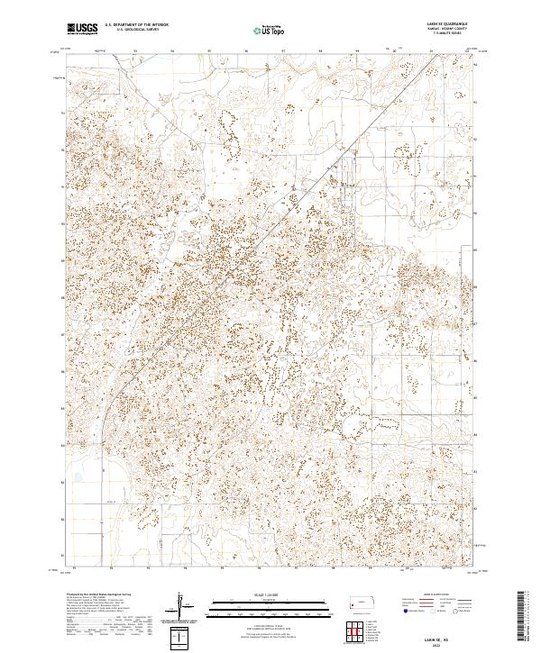
1966 Map of Lakin SE
USGS Topo · Published 1978About this map
Bear Creek meanders through this portion of Kearny County, cutting a path through a landscape defined by expansive deposits of Shifting Sand. In the late 1960s and through the 1970s, this region was a focus of energy extraction, evidenced by the dense network of Gas Wells and connecting pipelines that crisscross the townships of South Townside and Kendall. The irrigation infrastructure of the Southside Ditch in the northern reach contrasts with the more arid, dune-filled terrain to the south. Small-scale industrial activity is also noted via a Gravel Pit and scattered Drill Holes, showing the dual reliance on surface minerals and deep subterranean resources in this Kansas high plains environment.
Find a feature on this map
10 named features on this map. Tap any name to fly to it.
Don’t see what you’re looking for? This feature index may not catch every label — zoom into the map to look around manually.
Map Details
Editions of this 1966 Lakin SE Map
2 editions found
Historical Maps of Kearny County Through Time
61 maps found

1891 Larned
Kearny County, KS
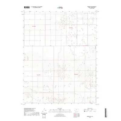
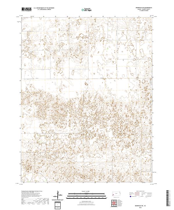
1960 Deerfield SW
Kearny County, KS
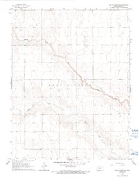
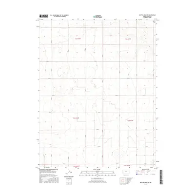
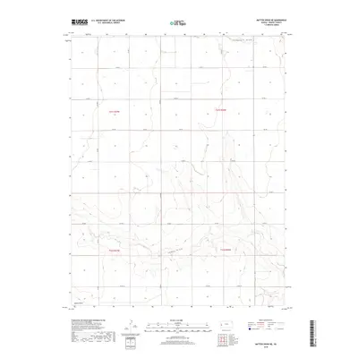
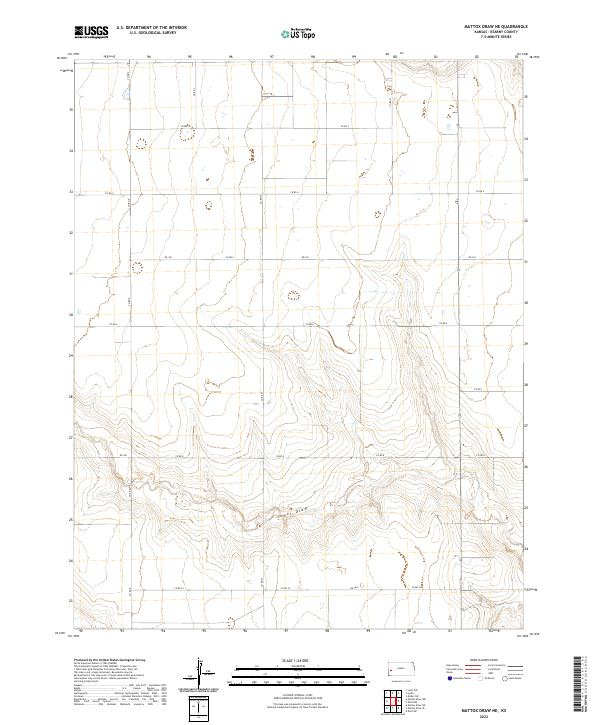
1965 Mattox Draw NE
Kearny County, KS
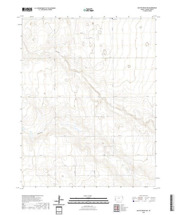
1965 Mattox Draw NW
Kearny County, KS

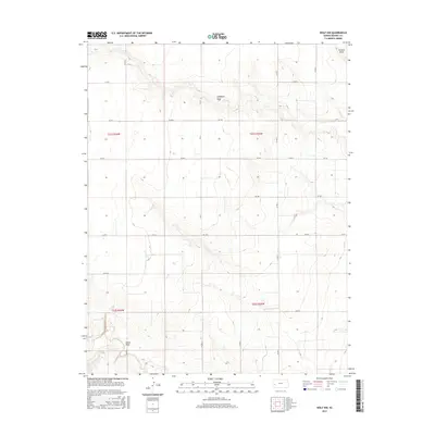
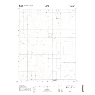
1965 Wolf NW
Kearny County, KS
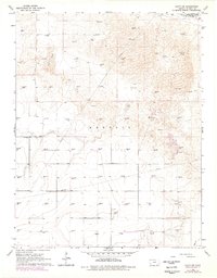
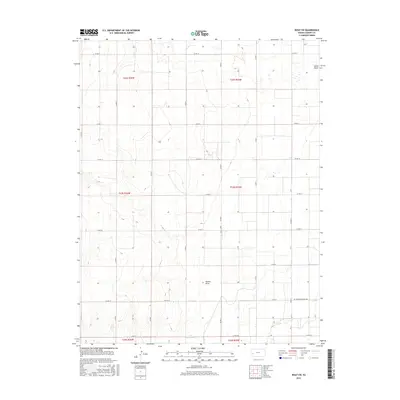
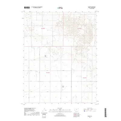
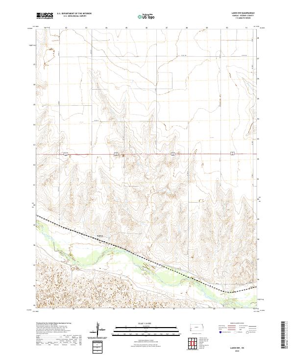
1966 Lakin NW
Kearny County, KS
1966 Lakin SE
Kearny County, KS
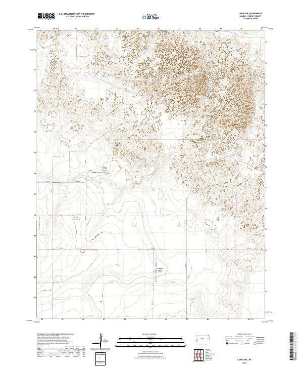
1966 Lakin SW
Kearny County, KS
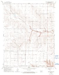
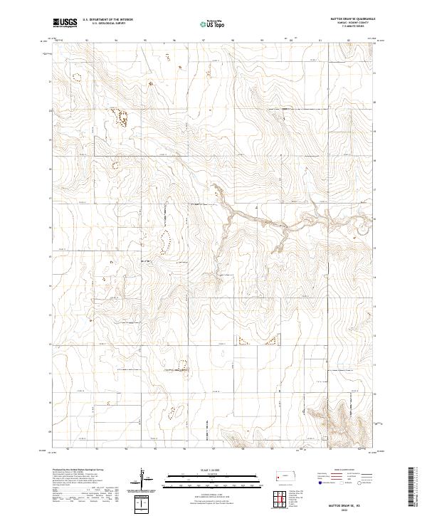
1966 Mattox Draw SE
Kearny County, KS
1966 Mattox Draw SW
Kearny County, KS
1966 Wolf SW
Kearny County, KS
2009 Deerfield SW
Kearny County, KS
2009 Wolf NW
Kearny County, KS
2009 Wolf SW
Kearny County, KS
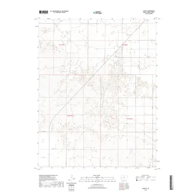
2010 Lakin NW
Kearny County, KS
2010 Lakin SE
Kearny County, KS
2010 Lakin SW
Kearny County, KS
2010 Mattox Draw NE
Kearny County, KS
2010 Mattox Draw NW
Kearny County, KS
2010 Mattox Draw SE
Kearny County, KS
2010 Mattox Draw SW
Kearny County, KS
2012 Deerfield SW
Kearny County, KS
2012 Lakin NW
Kearny County, KS
2012 Lakin SE
Kearny County, KS
2012 Lakin SW
Kearny County, KS
2012 Mattox Draw NE
Kearny County, KS
2012 Mattox Draw NW
Kearny County, KS

2012 Mattox Draw SE
Kearny County, KS
2012 Mattox Draw SW
Kearny County, KS
2012 Wolf NW
Kearny County, KS
2012 Wolf SW
Kearny County, KS
2015 Deerfield SW
Kearny County, KS
2015 Lakin NW
Kearny County, KS
2015 Lakin SE
Kearny County, KS
2015 Lakin SW
Kearny County, KS
2015 Mattox Draw NE
Kearny County, KS
2015 Mattox Draw NW
Kearny County, KS
2015 Mattox Draw SE
Kearny County, KS
2015 Mattox Draw SW
Kearny County, KS
2015 Wolf NW
Kearny County, KS
2015 Wolf SW
Kearny County, KS
2018 Deerfield SW
Kearny County, KS
2018 Lakin NW
Kearny County, KS
2018 Lakin SE
Kearny County, KS
2018 Lakin SW
Kearny County, KS
2018 Mattox Draw NE
Kearny County, KS
2018 Mattox Draw NW
Kearny County, KS
2018 Mattox Draw SE
Kearny County, KS
2018 Mattox Draw SW
Kearny County, KS
2018 Wolf NW
Kearny County, KS
2018 Wolf SW
Kearny County, KS
2022 Deerfield SW
Kearny County, KS
2022 Lakin NW
Kearny County, KS
2022 Lakin SE
Kearny County, KS
2022 Lakin SW
Kearny County, KS
2022 Mattox Draw NE
Kearny County, KS
2022 Mattox Draw NW
Kearny County, KS
2022 Mattox Draw SE
Kearny County, KS
2022 Mattox Draw SW
Kearny County, KS
2022 Wolf NW
Kearny County, KS
2022 Wolf SW
Kearny County, KS