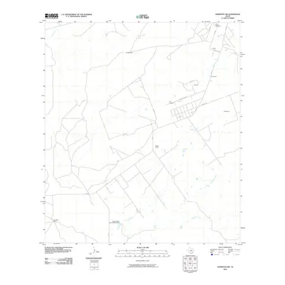
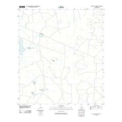
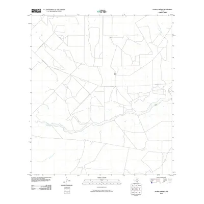
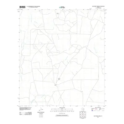
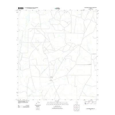
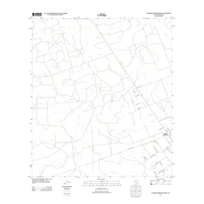
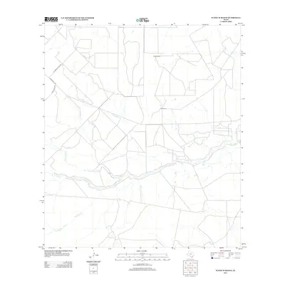
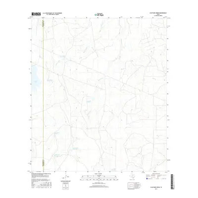
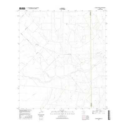
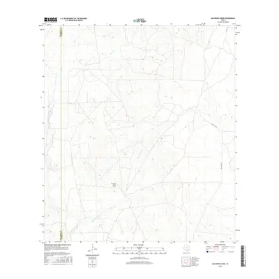
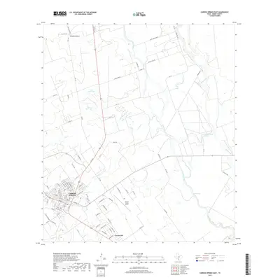
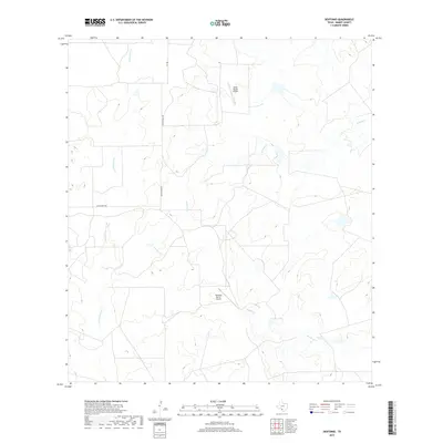
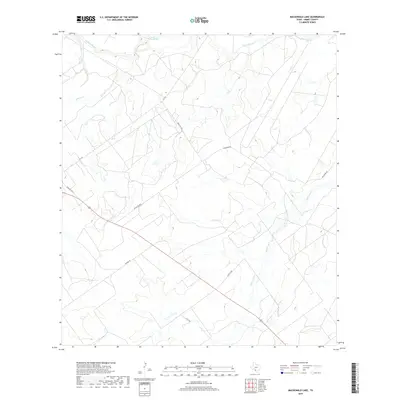
1974 Map of Flying W Ranch
USGS Topo · Published 1977About this map
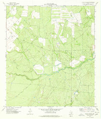
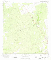
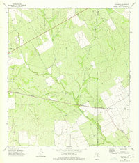
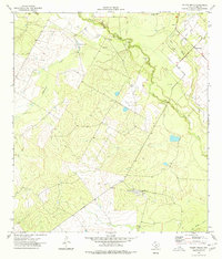
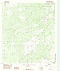
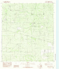
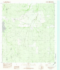
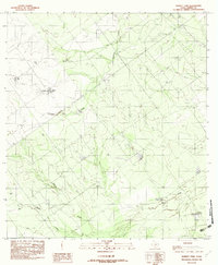
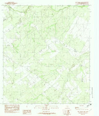
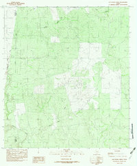
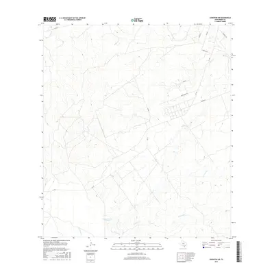
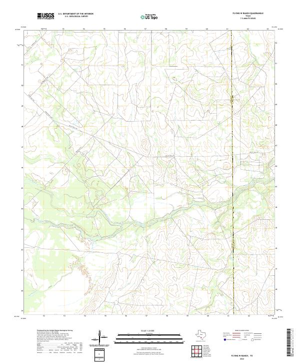
The Nueces River winds through this South Texas landscape, marking a significant drainage corridor near the Dimmit Co La Salle Co boundary. The area is characterized by sparse ranching infrastructure and energy development, centered on properties like the Flying W Ranch and Riche Ranch. An earthen Landing Strip at the Riche Ranch and a network of Pipeline corridors and scattered Oil Wells illustrate the mid-1970s reliance on both aviation and petroleum in this remote corner of the brush country. Numerous seasonal waterways, including San Roque Creek, Sage Creek, and Mocho Creek, feed into the river, defining the local topography and historical grazing patterns of the region.
Find a feature on this map
14 named features on this map. Tap any name to fly to it.
Don’t see what you’re looking for? This feature index may not catch every label — zoom into the map to look around manually.
Map Details
Editions of this 1974 Flying W Ranch Map
This is the sole edition of this map. No revisions or reprints were ever made.
Historical Maps of Dimmit County Through Time
86 maps found
1925 San Roque Lake 1-a
Dimmit County, TX
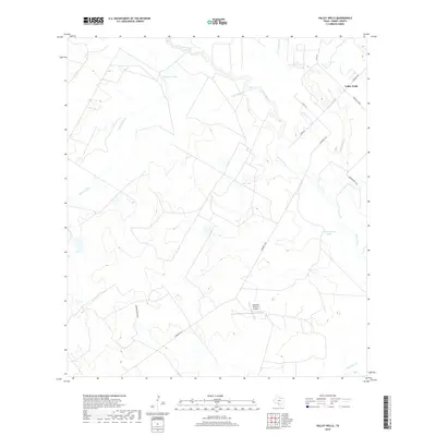
1932 Valley Wells
Dimmit County, TX
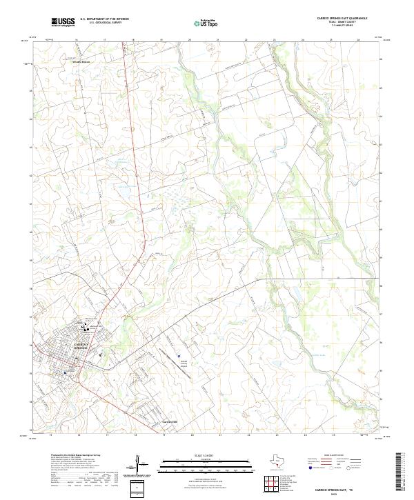
1972 Carrizo Springs East
Dimmit County, TX
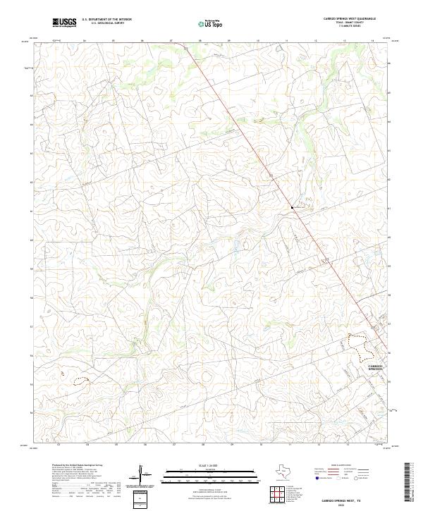
1972 Carrizo Springs West
Dimmit County, TX
1974 Flying W Ranch
Dimmit County, TX
1974 Las Vegas
Dimmit County, TX
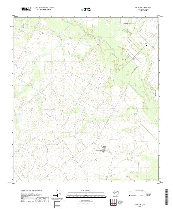
1974 Valley Wells
Dimmit County, TX
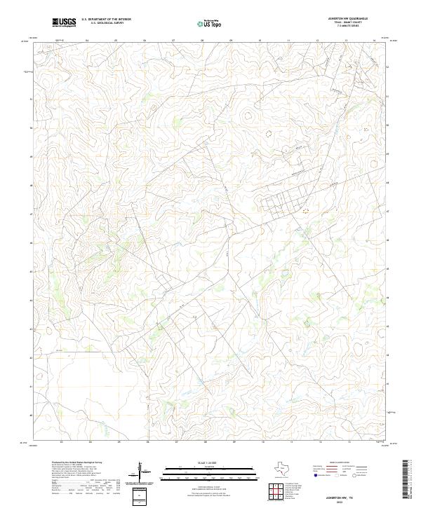
1982 Asherton NW
Dimmit County, TX
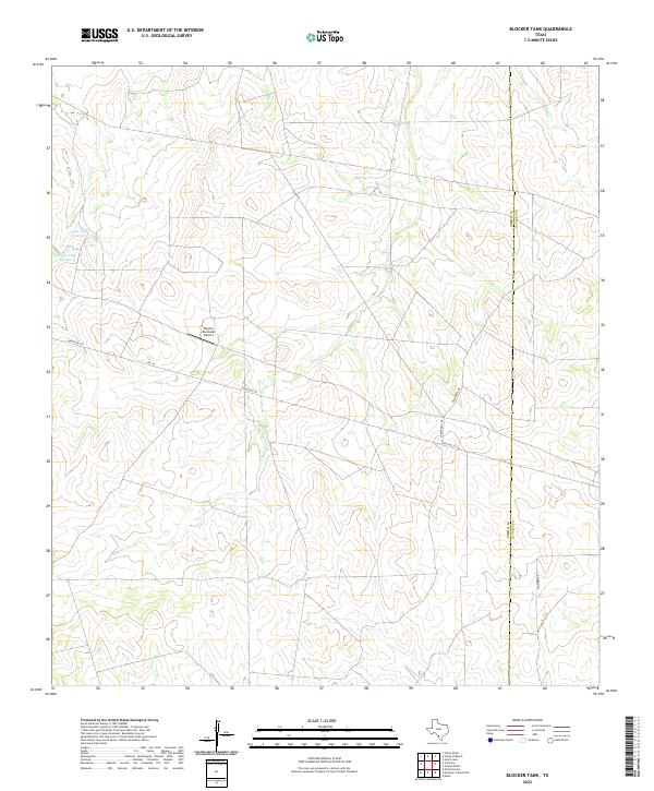
1982 Blocker Tank
Dimmit County, TX
1982 Cayetano Creek
Dimmit County, TX
1982 Dabney Tank
Dimmit County, TX
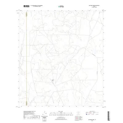
1982 Mac Donald Lake
Dimmit County, TX
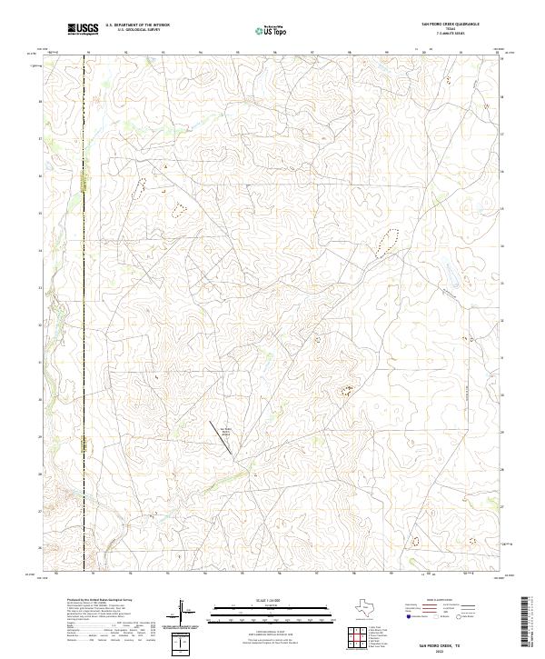
1982 San Pedro Creek
Dimmit County, TX
1984 Dentonio
Dimmit County, TX
1984 Farias Tank
Dimmit County, TX
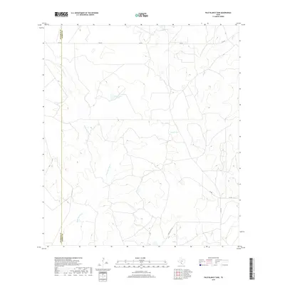
1984 Palo Blanco Tank
Dimmit County, TX
2010 Asherton NW
Dimmit County, TX
2010 Blocker Tank
Dimmit County, TX
2010 Carrizo Springs East
Dimmit County, TX
2010 Carrizo Springs West
Dimmit County, TX
2010 Cayetano Creek
Dimmit County, TX
2010 Dabney Tank
Dimmit County, TX
2010 Dentonio
Dimmit County, TX
2010 Farias Tank
Dimmit County, TX
2010 Flying W Ranch
Dimmit County, TX
2010 Las Vegas
Dimmit County, TX
2010 MacDonald Lake
Dimmit County, TX
2010 Palo Blanco Tank
Dimmit County, TX
2010 San Pedro Creek
Dimmit County, TX
2010 Valley Wells
Dimmit County, TX
2012 Cayetano Creek
Dimmit County, TX
2012 Palo Blanco Tank
Dimmit County, TX
2012 San Pedro Creek
Dimmit County, TX
2013 Asherton NW
Dimmit County, TX
2013 Blocker Tank
Dimmit County, TX
2013 Carrizo Springs East
Dimmit County, TX
2013 Carrizo Springs West
Dimmit County, TX
2013 Dabney Tank
Dimmit County, TX
2013 Dentonio
Dimmit County, TX
2013 Farias Tank
Dimmit County, TX
2013 Flying W Ranch
Dimmit County, TX
2013 Las Vegas
Dimmit County, TX
2013 MacDonald Lake
Dimmit County, TX
2013 Valley Wells
Dimmit County, TX
2016 Asherton NW
Dimmit County, TX
2016 Blocker Tank
Dimmit County, TX
2016 Carrizo Springs East
Dimmit County, TX
2016 Carrizo Springs West
Dimmit County, TX
2016 Cayetano Creek
Dimmit County, TX
2016 Dabney Tank
Dimmit County, TX
2016 Dentonio
Dimmit County, TX
2016 Farias Tank
Dimmit County, TX
2016 Flying W Ranch
Dimmit County, TX
2016 Las Vegas
Dimmit County, TX
2016 MacDonald Lake
Dimmit County, TX
2016 Palo Blanco Tank
Dimmit County, TX
2016 San Pedro Creek
Dimmit County, TX
2016 Valley Wells
Dimmit County, TX
2019 Asherton NW
Dimmit County, TX
2019 Blocker Tank
Dimmit County, TX
2019 Carrizo Springs East
Dimmit County, TX
2019 Carrizo Springs West
Dimmit County, TX
2019 Cayetano Creek
Dimmit County, TX
2019 Dabney Tank
Dimmit County, TX
2019 Dentonio
Dimmit County, TX
2019 Farias Tank
Dimmit County, TX
2019 Flying W Ranch
Dimmit County, TX
2019 Las Vegas
Dimmit County, TX
2019 MacDonald Lake
Dimmit County, TX
2019 Palo Blanco Tank
Dimmit County, TX
2019 San Pedro Creek
Dimmit County, TX
2019 Valley Wells
Dimmit County, TX
2022 Asherton NW
Dimmit County, TX
2022 Blocker Tank
Dimmit County, TX
2022 Carrizo Springs East
Dimmit County, TX
2022 Carrizo Springs West
Dimmit County, TX
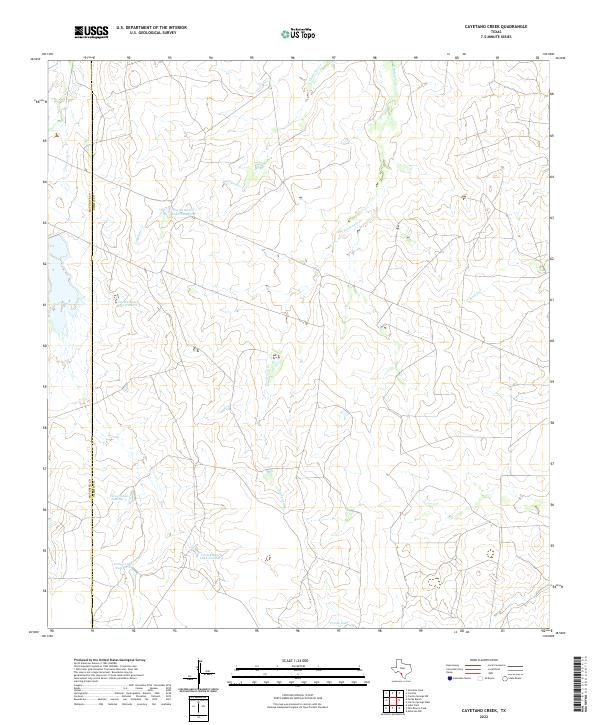
2022 Cayetano Creek
Dimmit County, TX
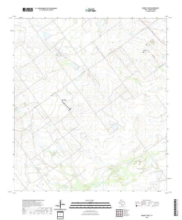
2022 Dabney Tank
Dimmit County, TX
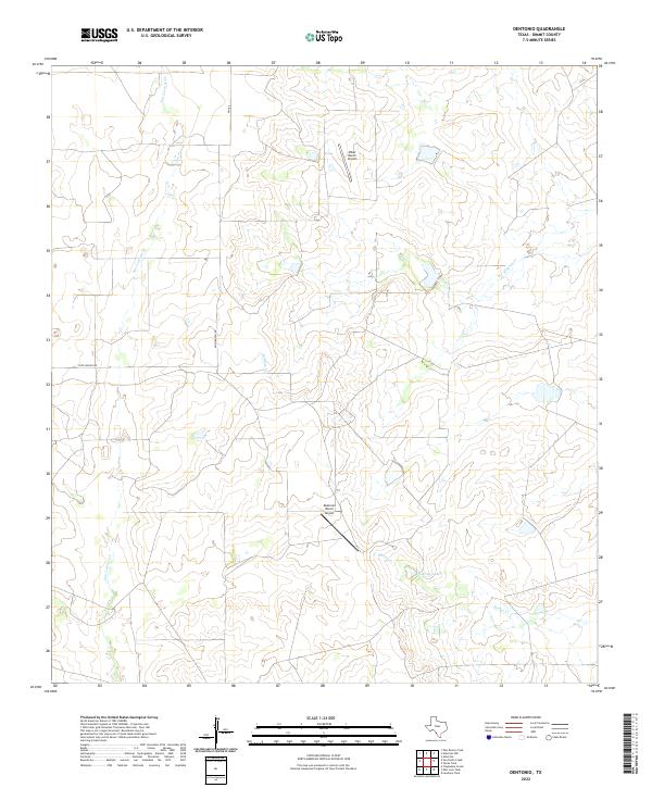
2022 Dentonio
Dimmit County, TX
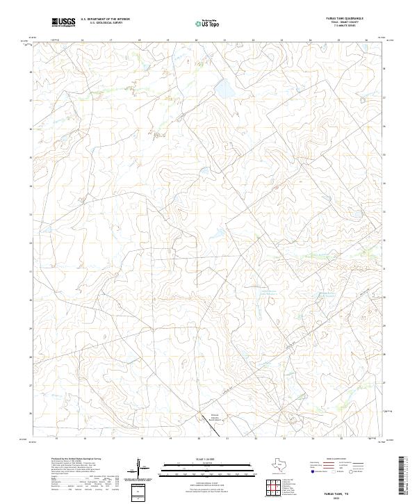
2022 Farias Tank
Dimmit County, TX
2022 Flying W Ranch
Dimmit County, TX
2022 Las Vegas
Dimmit County, TX
2022 MacDonald Lake
Dimmit County, TX
2022 Palo Blanco Tank
Dimmit County, TX
2022 San Pedro Creek
Dimmit County, TX
2022 Valley Wells
Dimmit County, TX