2024 Map of Mildred
USGS Topo · Published 2024About this map
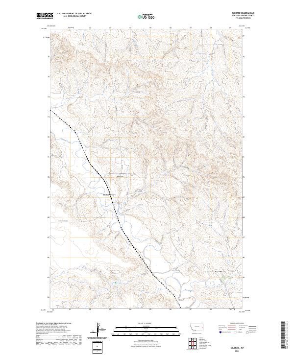
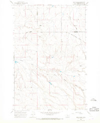
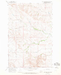
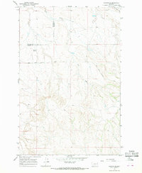
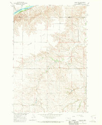
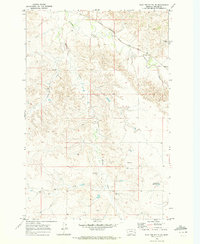
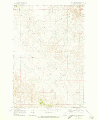
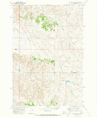
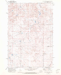
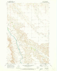
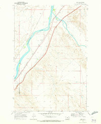
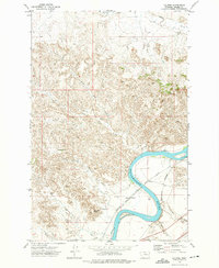
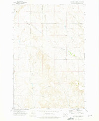
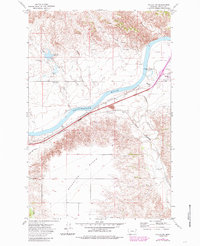
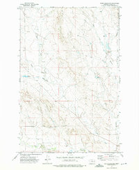
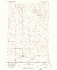
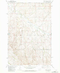
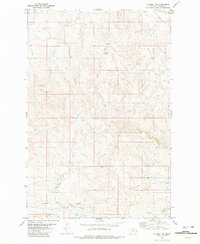
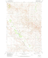
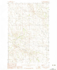
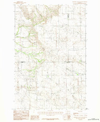
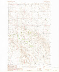
Mildred centers this Prairie County landscape, situated where Ismay Rd and Hwy 340 intersect near the meandering course of O’Fallon Creek. The settlement pattern reflects the traditional grid of the Public Land Survey System, with the Mildred Cem located north of the town site along the road to the uplands. This 2024 map documents a high-plains environment defined by intermittent drainage systems, including Spring Creek, Ash Creek, and Pine Creek, which carve through the terrain between the Red Hills and Whitney Creek. The geography suggests a ranching and rural residential character typical of eastern Montana, where life is organized around dependable watercourses and established county routes like Red Hills Rd and Whitney Creek Rd.
Find a feature on this map
16 named features on this map. Tap any name to fly to it.
Don’t see what you’re looking for? This feature index may not catch every label — zoom into the map to look around manually.
Map Details
Editions of this 2024 Mildred Map
This is the sole edition of this map. No revisions or reprints were ever made.
Historical Maps of Mildred Through Time
60 maps found
1965 Combs Ranch
Prairie County, MT
1965 Crow Rock
Prairie County, MT
1965 Hedstrom Lake SE
Prairie County, MT
1965 Heitz School
Prairie County, MT
1965 Little Sheep Mountain
Prairie County, MT
1965 Watkins SE
Prairie County, MT
1966 Marsh SW
Prairie County, MT
1969 Flat Top Butte NE
Prairie County, MT
1969 Flat Top Butte
Prairie County, MT
1969 Flat Top Butte SW
Prairie County, MT
1969 Little Whitney Creek
Prairie County, MT
1969 Zero NE
Prairie County, MT
1969 Zero
Prairie County, MT
1972 Calypso
Prairie County, MT
1972 Diamond G Creek
Prairie County, MT
1972 Fallon SW
Prairie County, MT
1972 Hendrickson Coulee
Prairie County, MT
1972 Mc Cloud
Prairie County, MT
1972 Mc Clure Reservoir
Prairie County, MT
1972 Papps Reservoir
Prairie County, MT
1972 South Fork Reservoir
Prairie County, MT
1981 Dorothy Draw
Prairie County, MT
1981 Mildred NE
Prairie County, MT
1981 Mildred
Prairie County, MT
1982 Graveyard Hill SW
Prairie County, MT
1982 Simons Butte
Prairie County, MT
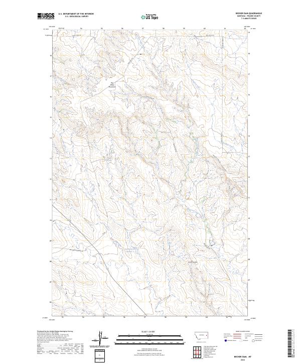
1983 Becker Dam
Prairie County, MT
1983 Big Sheep Mountain
Prairie County, MT
1983 Diamond G Butte NW
Prairie County, MT
1983 North Coulee
Prairie County, MT
2024 Becker Dam
Prairie County, MT
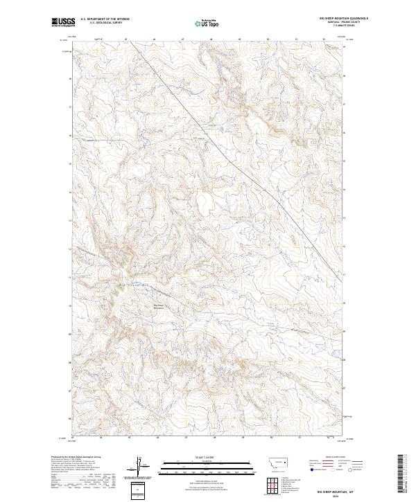
2024 Big Sheep Mountain
Prairie County, MT
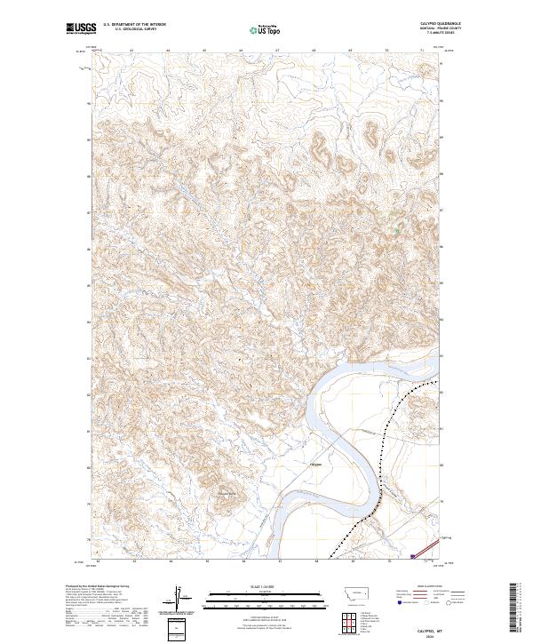
2024 Calypso
Prairie County, MT
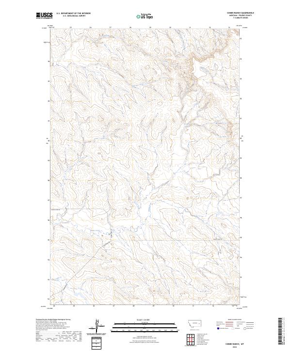
2024 Combs Ranch
Prairie County, MT
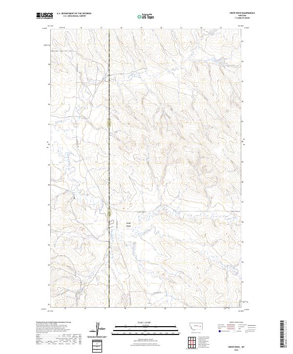
2024 Crow Rock
Prairie County, MT
2024 Diamond G Butte NW
Prairie County, MT
2024 Diamond G Creek
Prairie County, MT
2024 Dorothy Draw
Prairie County, MT
2024 Fallon SW
Prairie County, MT
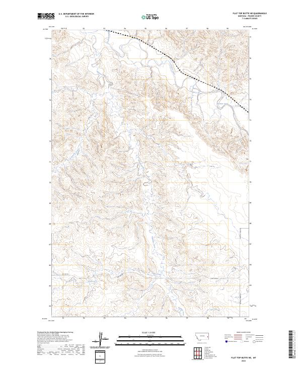
2024 Flat Top Butte NE
Prairie County, MT
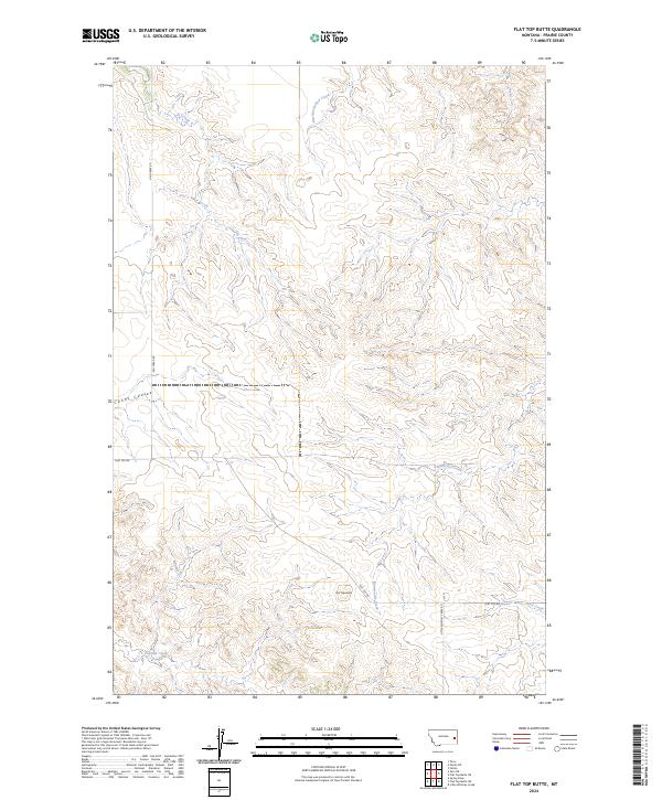
2024 Flat Top Butte
Prairie County, MT
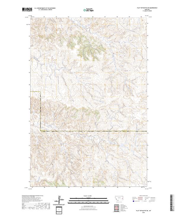
2024 Flat Top Butte SW
Prairie County, MT
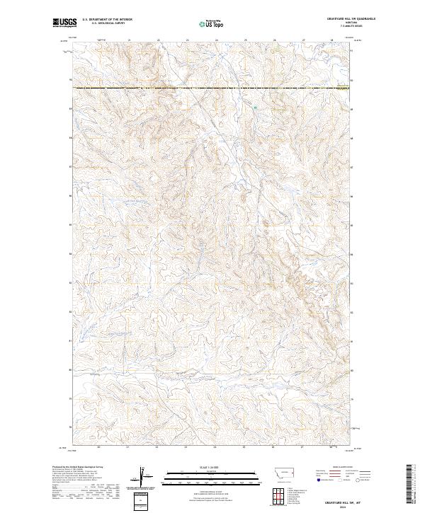
2024 Graveyard Hill SW
Prairie County, MT
2024 Hedstrom Lake SE
Prairie County, MT
2024 Heitz School
Prairie County, MT
2024 Hendrickson Coulee
Prairie County, MT
2024 Little Sheep Mountain
Prairie County, MT
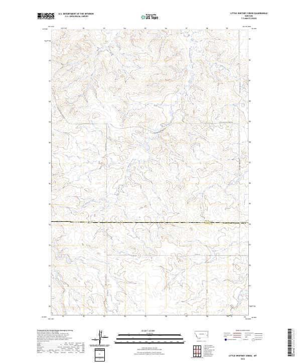
2024 Little Whitney Creek
Prairie County, MT
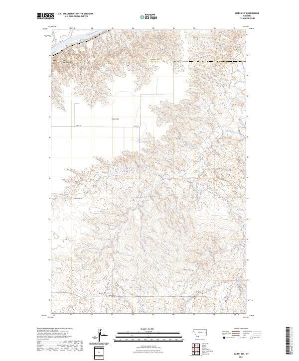
2024 Marsh SW
Prairie County, MT
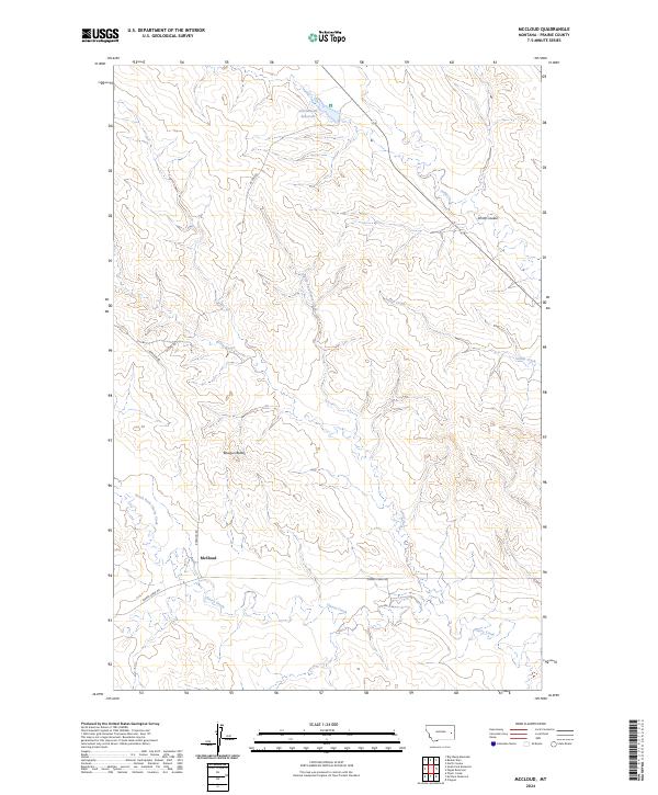
2024 McCloud
Prairie County, MT
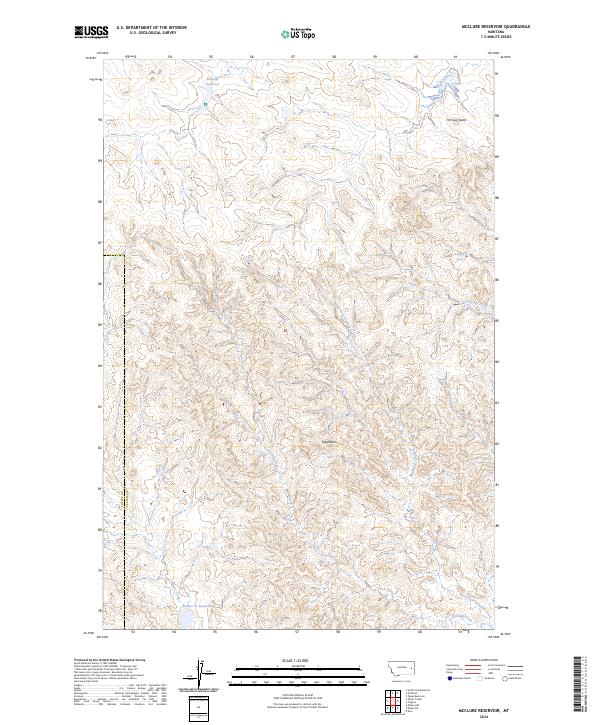
2024 McClure Reservoir
Prairie County, MT
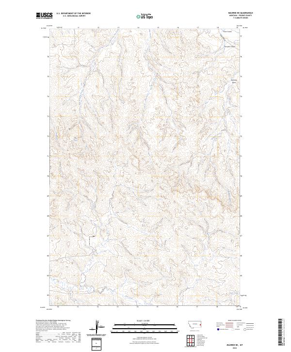
2024 Mildred NE
Prairie County, MT
2024 Mildred
Prairie County, MT
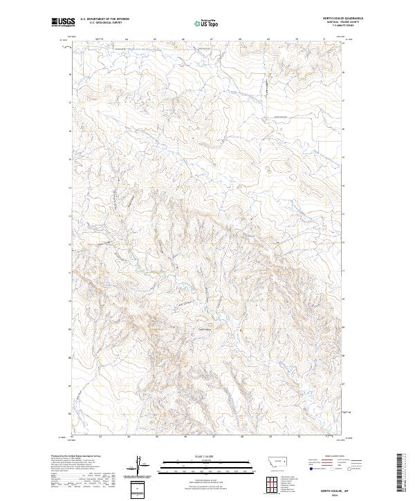
2024 North Coulee
Prairie County, MT
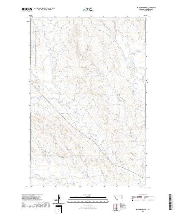
2024 Papps Reservoir
Prairie County, MT
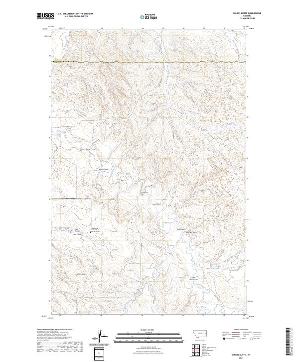
2024 Simons Butte
Prairie County, MT
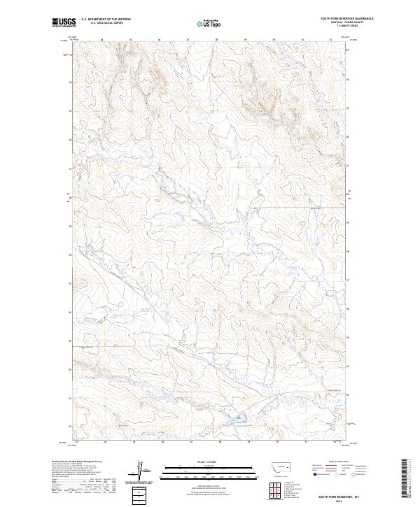
2024 South Fork Reservoir
Prairie County, MT
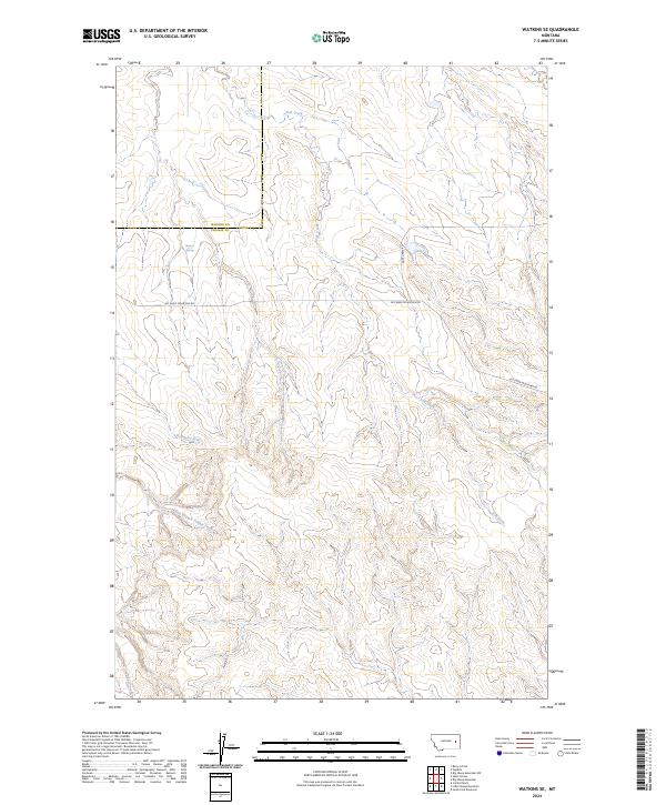
2024 Watkins SE
Prairie County, MT
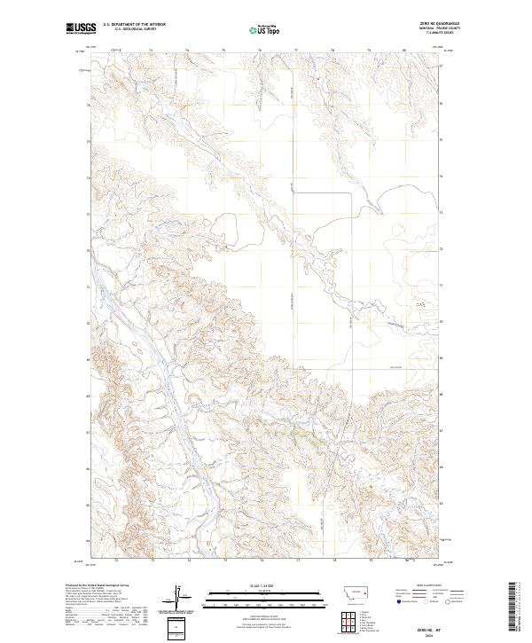
2024 Zero NE
Prairie County, MT
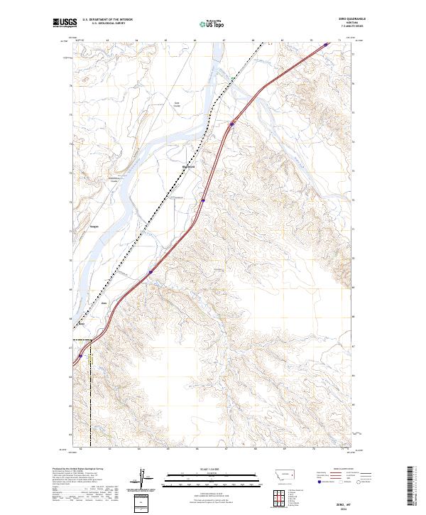
2024 Zero
Prairie County, MT