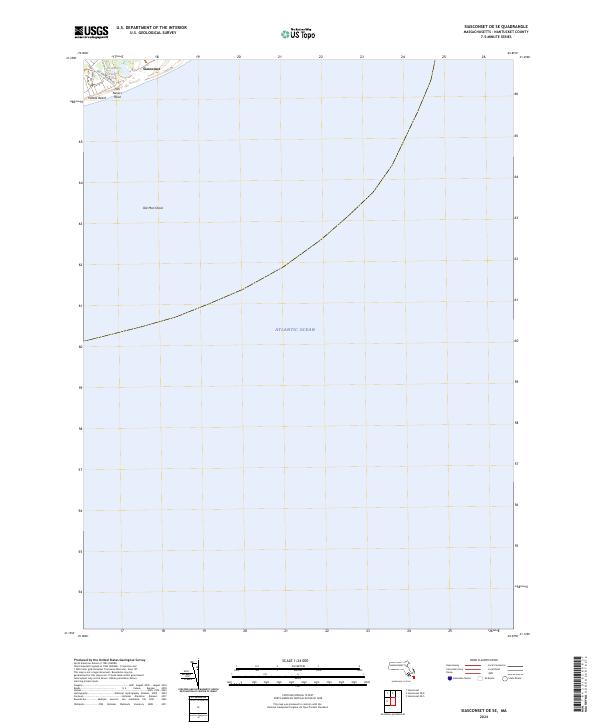
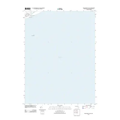
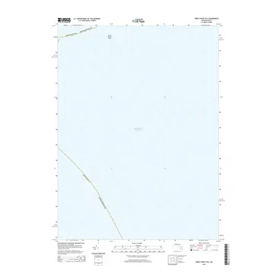
2024 Map of Siasconset OE SE
USGS Topo · Published 2024About this map
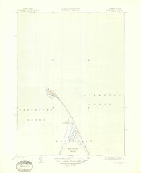
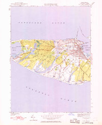
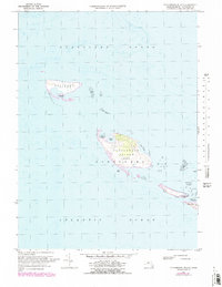
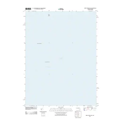
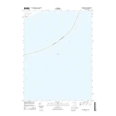
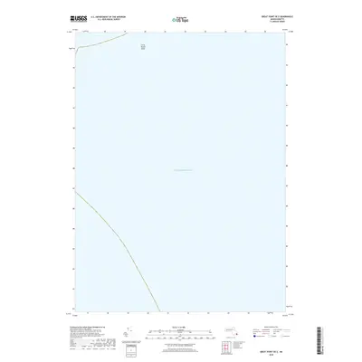
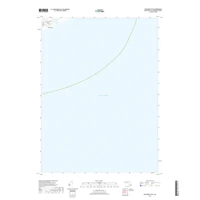
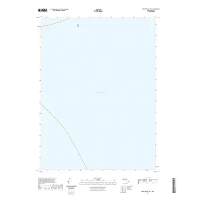
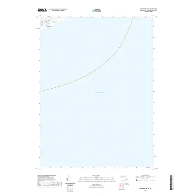
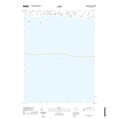
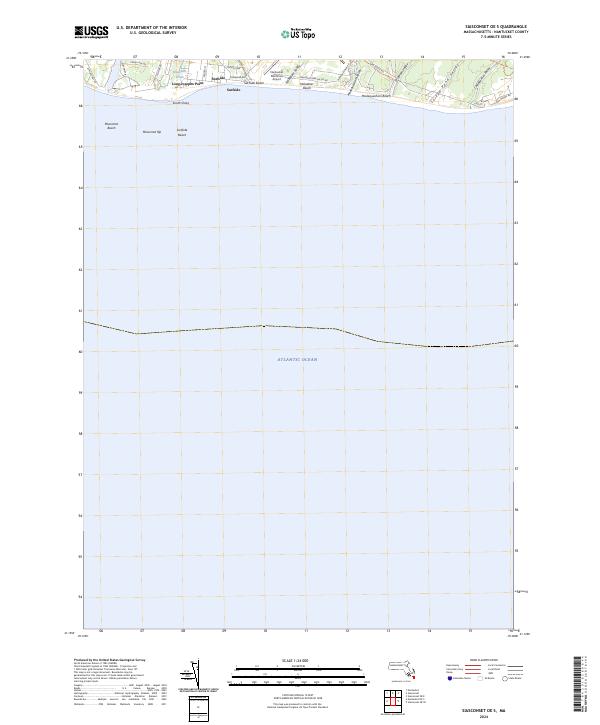
Tom Nevers Head and the surrounding coastline of southeastern Nantucket define this coastal survey, where the terrestrial landscape meets the expansive Atlantic Ocean. The map documents a focused area of the island, including the southwestern edge of the historic village of Siasconset. Grounded in the contemporary era, the layout shows the transition from residential roads like Old Tom Nevers Rd to the natural features of the shoreline. The presence of Tom Nevers Pond and the nearby Pebble Beach illustrates the low-lying, water-dominated geography of the region. Off the coast, the identification of Old Man Shoal provides critical navigation context, marking the underwater hazards that have historically shaped maritime traffic around the island's southeastern corner.
Find a feature on this map
8 named features on this map. Tap any name to fly to it.
Don’t see what you’re looking for? This feature index may not catch every label — zoom into the map to look around manually.
Map Details
Editions of this 2024 Siasconset OE SE Map
This is the sole edition of this map. No revisions or reprints were ever made.
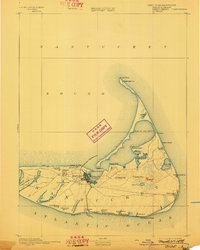
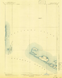
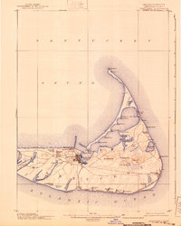
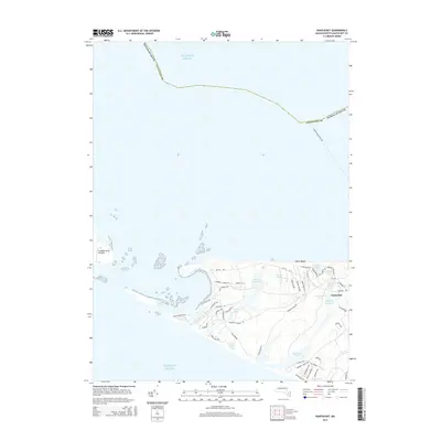
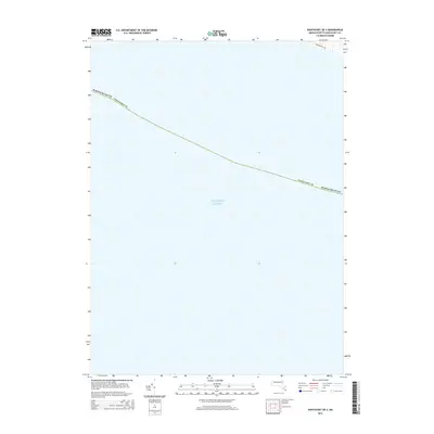
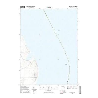
Historical Maps of Nantucket Through Time
60 maps found

1887 Muskeget
Nantucket County, MA

1889 Muskeget
Nantucket County, MA

1889 Nantucket
Nantucket County, MA

1893 Muskeget
Nantucket County, MA
1893 Nantucket
Nantucket County, MA
1899 Muskeget
Nantucket County, MA
1901 Nantucket
Nantucket County, MA

1942 Nantucket
Nantucket County, MA
1944 Tuckernuck Island
Nantucket County, MA
1945 Great Point
Nantucket County, MA
1945 Nantucket
Nantucket County, MA
1951 Great Point
Nantucket County, MA
1951 Nantucket
Nantucket County, MA
1951 Tuckernuck Island
Nantucket County, MA
1972 Great Point
Nantucket County, MA
1972 Nantucket
Nantucket County, MA
1972 Tuckernuck Island
Nantucket County, MA

1977 Great Point
Nantucket County, MA
1977 Nantucket
Nantucket County, MA
1977 Tuckernuck Island
Nantucket County, MA
2012 Great Point
Nantucket County, MA
2012 Great Point OE E
Nantucket County, MA
2012 Nantucket
Nantucket County, MA
2012 Nantucket OE S
Nantucket County, MA
2012 Siasconset OE E
Nantucket County, MA
2012 Siasconset OE SE
Nantucket County, MA
2012 Siasconset OE S
Nantucket County, MA
2012 Tuckernuck Island
Nantucket County, MA
2015 Great Point
Nantucket County, MA
2015 Great Point OE E
Nantucket County, MA
2015 Nantucket
Nantucket County, MA
2015 Nantucket OE S
Nantucket County, MA
2015 Siasconset OE E
Nantucket County, MA
2015 Siasconset OE SE
Nantucket County, MA
2015 Siasconset OE S
Nantucket County, MA
2015 Tuckernuck Island
Nantucket County, MA
2018 Great Point
Nantucket County, MA
2018 Great Point OE E
Nantucket County, MA
2018 Nantucket
Nantucket County, MA
2018 Nantucket OE S
Nantucket County, MA
2018 Siasconset OE E
Nantucket County, MA
2018 Siasconset OE SE
Nantucket County, MA
2018 Siasconset OE S
Nantucket County, MA
2018 Tuckernuck Island
Nantucket County, MA
2021 Great Point
Nantucket County, MA
2021 Great Point OE E
Nantucket County, MA
2021 Nantucket
Nantucket County, MA
2021 Nantucket OE S
Nantucket County, MA
2021 Siasconset OE E
Nantucket County, MA
2021 Siasconset OE SE
Nantucket County, MA
2021 Siasconset OE S
Nantucket County, MA
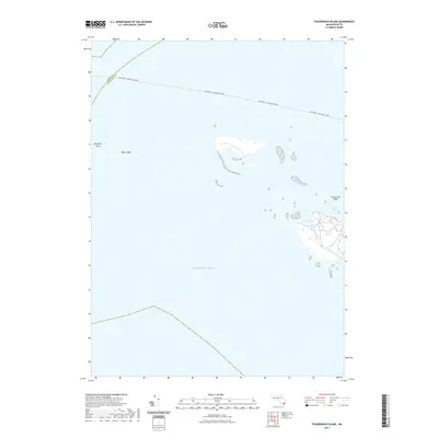
2021 Tuckernuck Island
Nantucket County, MA
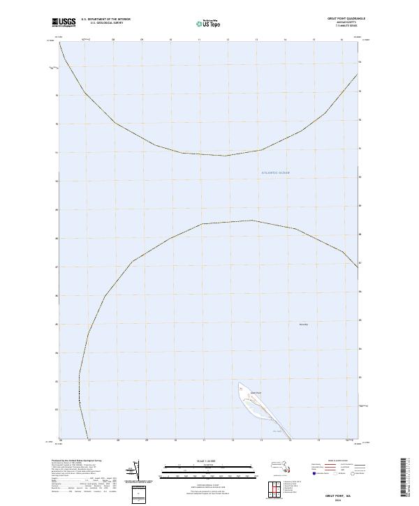
2024 Great Point
Nantucket County, MA
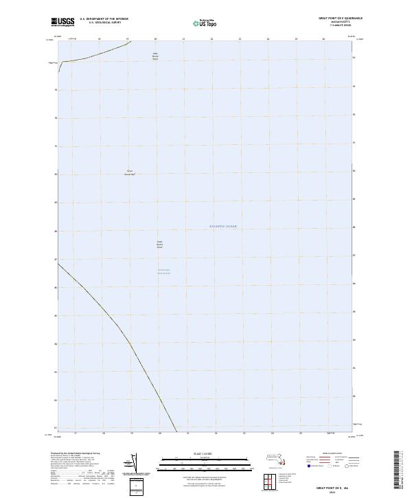
2024 Great Point OE E
Nantucket County, MA
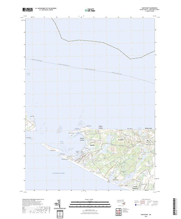
2024 Nantucket
Nantucket County, MA
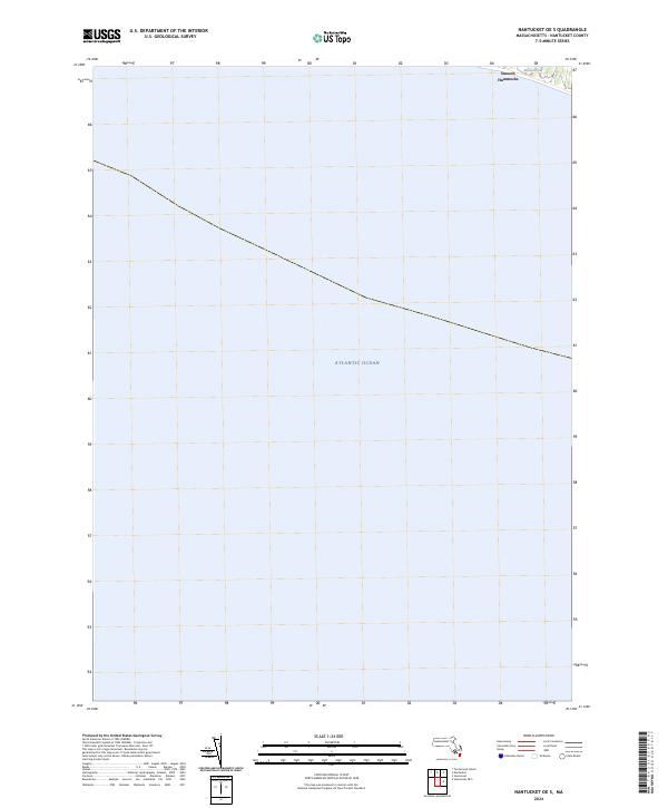
2024 Nantucket OE S
Nantucket County, MA
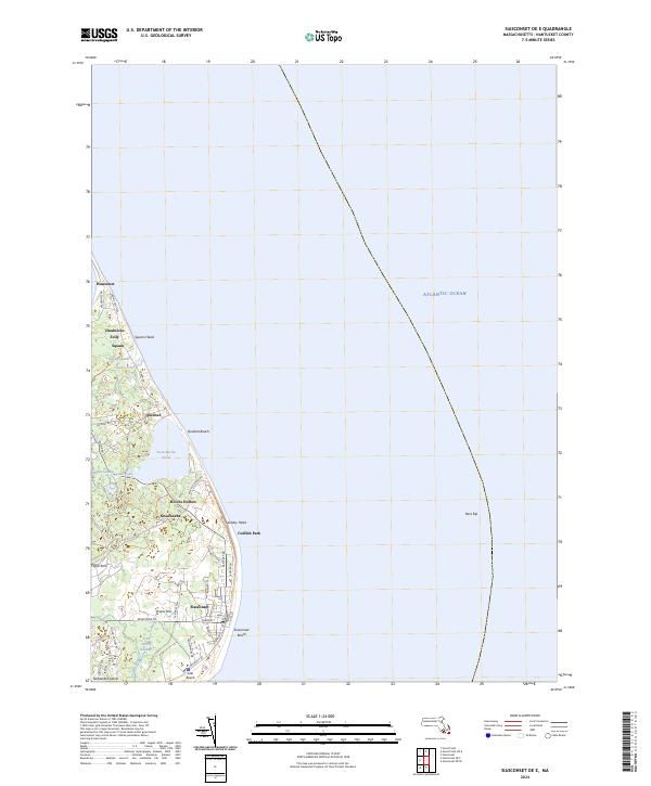
2024 Siasconset OE E
Nantucket County, MA
2024 Siasconset OE SE
Nantucket County, MA
2024 Siasconset OE S
Nantucket County, MA
2024 Tuckernuck Island
Nantucket County, MA