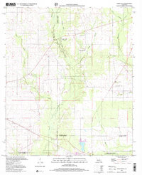
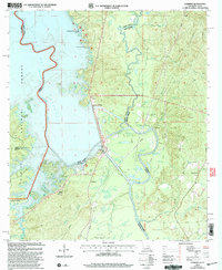
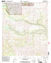
2024 Map of Temple
USGS Topo · Published 2024About this map
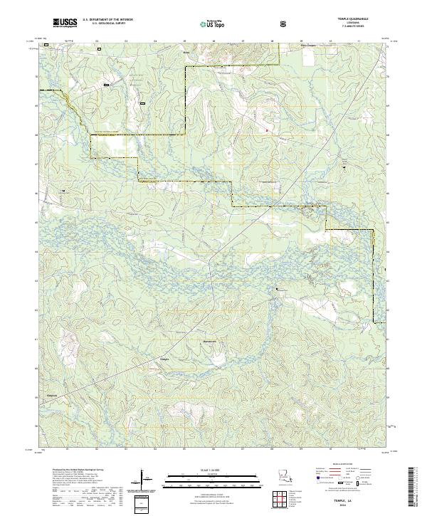
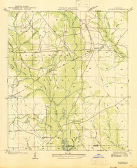
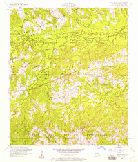
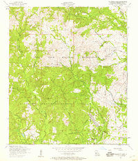
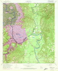
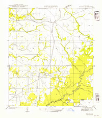
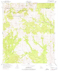
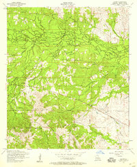
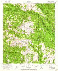
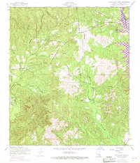
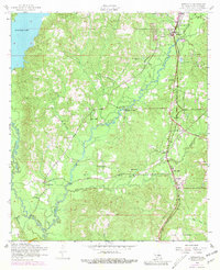
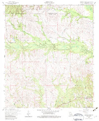
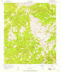
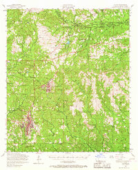
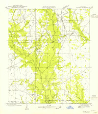
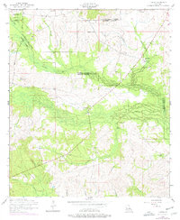
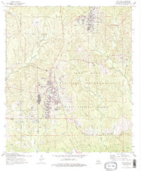
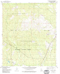
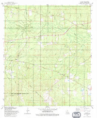
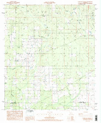
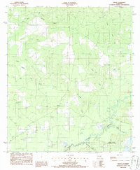
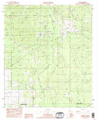
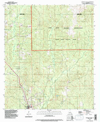
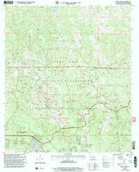
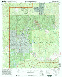
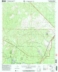
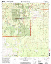
Kisatchie National Forest dominates the northern reaches of this landscape, where the headwaters of numerous creeks and branches begin their descent through the piney woods of central Louisiana. The region is defined by a dense network of waterways including Bayou Pine Coupee, Devils Creek, and Comrade Creek, which carve through the terrain and dictate the placement of early settlements. Small communities like Mora, Burnstown, and Temple are connected by a web of parish roads, reflecting a quiet, timber-driven rural economy. For the local historian or genealogist, the map preserves the locations of significant family landmarks such as Comrade Cem, Schorn Brook Cem, and Blackwell Cem. These sites, along with the numerous named branches like Gordie Branch and Waterhole Branch, offer a precise look at the drainage patterns and historical footprint of the communities situated along the parish lines of Vernon, Natchitoches, and Rapides.
Find a feature on this map
78 named features on this map. Tap any name to fly to it.
Don’t see what you’re looking for? This feature index may not catch every label — zoom into the map to look around manually.
Map Details
Editions of this 2024 Temple Map
This is the sole edition of this map. No revisions or reprints were ever made.
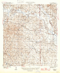
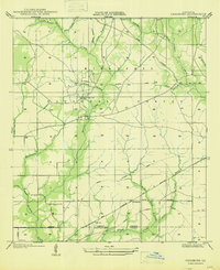
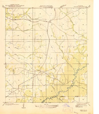
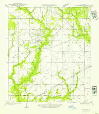
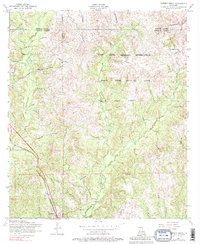
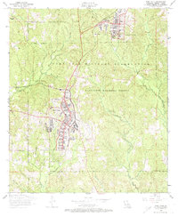
Historical Maps of Pine Coupee Through Time
72 maps found

1937 Chopin SW
Vernon Parish, LA

1941 Slagle
Vernon Parish, LA
1943 Leander
Vernon Parish, LA

1944 Slagle
Vernon Parish, LA
1947 Chasmore
Vernon Parish, LA
1947 Knight
Vernon Parish, LA

1947 Steep Gully
Vernon Parish, LA
1947 Sugrue
Vernon Parish, LA
1949 Evans
Vernon Parish, LA

1951 Steep Gully
Vernon Parish, LA
1954 Birds Creek
Vernon Parish, LA
1954 Burr Ferry
Vernon Parish, LA
1954 Burton Creek
Vernon Parish, LA
1954 Chasmore
Vernon Parish, LA
1954 Dowden Creek
Vernon Parish, LA
1954 Fort Polk
Vernon Parish, LA
1954 Fullerton Lake
Vernon Parish, LA
1954 Haddens
Vernon Parish, LA
1954 Knight
Vernon Parish, LA
1954 Kurthwood
Vernon Parish, LA
1954 Lacamp
Vernon Parish, LA
1954 Leander
Vernon Parish, LA
1954 Little Sandy Creek
Vernon Parish, LA
1954 Newllano
Vernon Parish, LA
1954 Simpson North
Vernon Parish, LA
1954 Slagle
Vernon Parish, LA
1954 Slagle
Vernon Parish, LA
1954 Sugrue
Vernon Parish, LA
1954 Temple
Vernon Parish, LA
1959 Steep Gully
Vernon Parish, LA
1974 Birds Creek
Vernon Parish, LA
1974 Fort Polk
Vernon Parish, LA
1974 Fort Polk
Vernon Parish, LA
1974 Simpson South
Vernon Parish, LA
1974 Slagle
Vernon Parish, LA
1977 Fort Polk
Vernon Parish, LA
1978 Fullerton Lake
Vernon Parish, LA
1978 Lacamp
Vernon Parish, LA
1984 Evans
Vernon Parish, LA
1985 Haddens
Vernon Parish, LA
1986 Hurricane Branch
Vernon Parish, LA
1986 Knight
Vernon Parish, LA
1986 Sugrue
Vernon Parish, LA
1994 Dowden Creek
Vernon Parish, LA
1997 Steep Gully
Vernon Parish, LA
2003 Birds Creek
Vernon Parish, LA
2003 Fort Polk
Vernon Parish, LA
2003 Fullerton Lake
Vernon Parish, LA
2003 Haddens
Vernon Parish, LA
2003 Hurricane Branch
Vernon Parish, LA
2003 Kurthwood
Vernon Parish, LA
2003 Simpson North
Vernon Parish, LA
2003 Temple
Vernon Parish, LA
2004 Sugrue
Vernon Parish, LA
2024 Birds Creek
Vernon Parish, LA
2024 Burr Ferry
Vernon Parish, LA
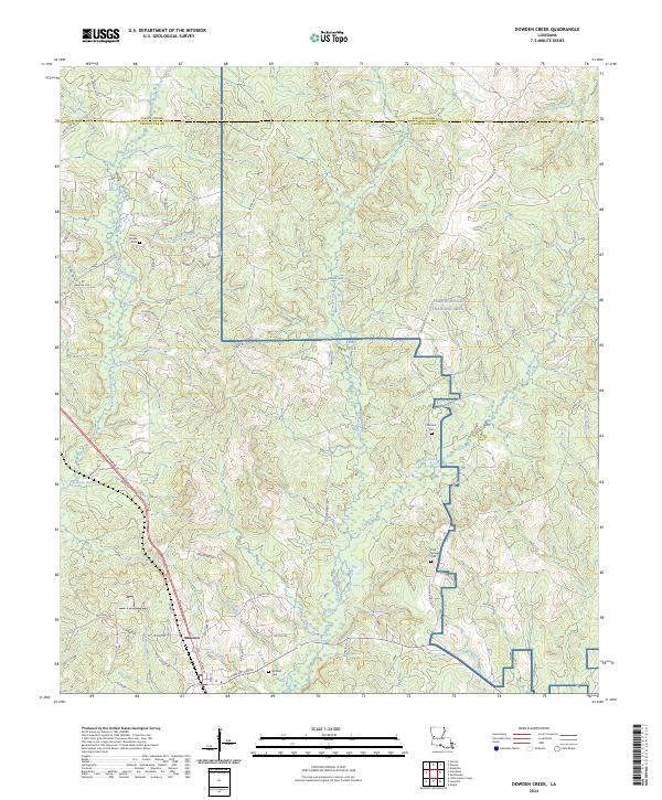
2024 Dowden Creek
Vernon Parish, LA
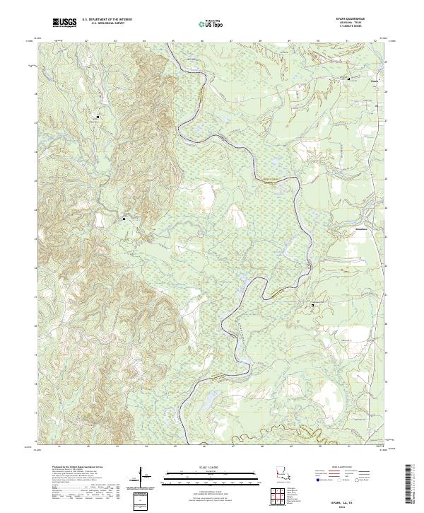
2024 Evans
Vernon Parish, LA
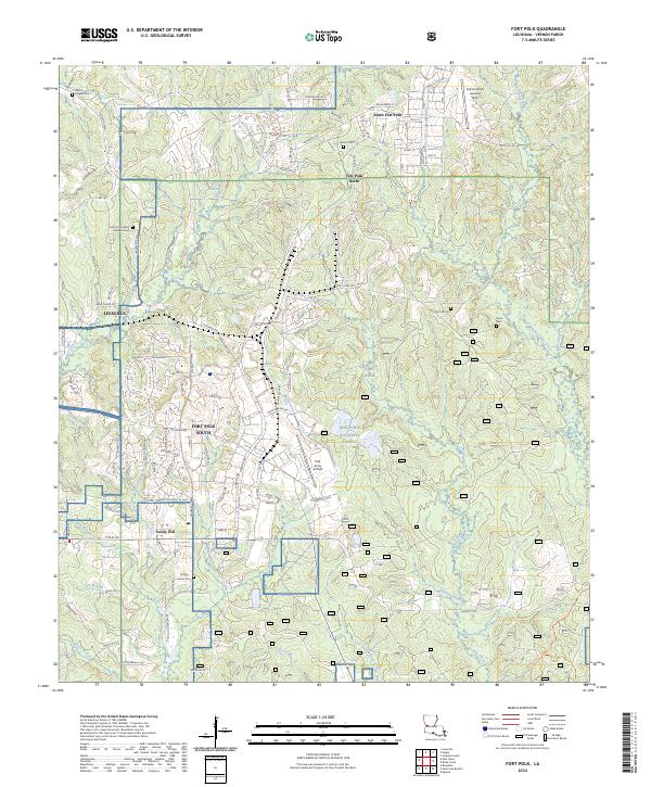
2024 Fort Polk
Vernon Parish, LA
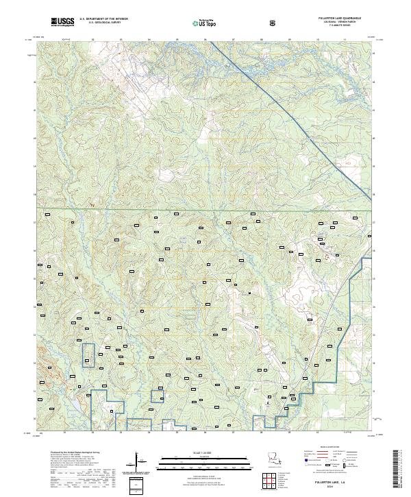
2024 Fullerton Lake
Vernon Parish, LA
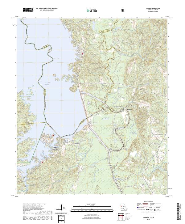
2024 Haddens
Vernon Parish, LA
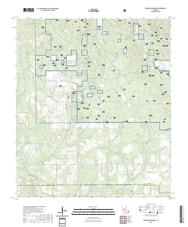
2024 Hurricane Branch
Vernon Parish, LA
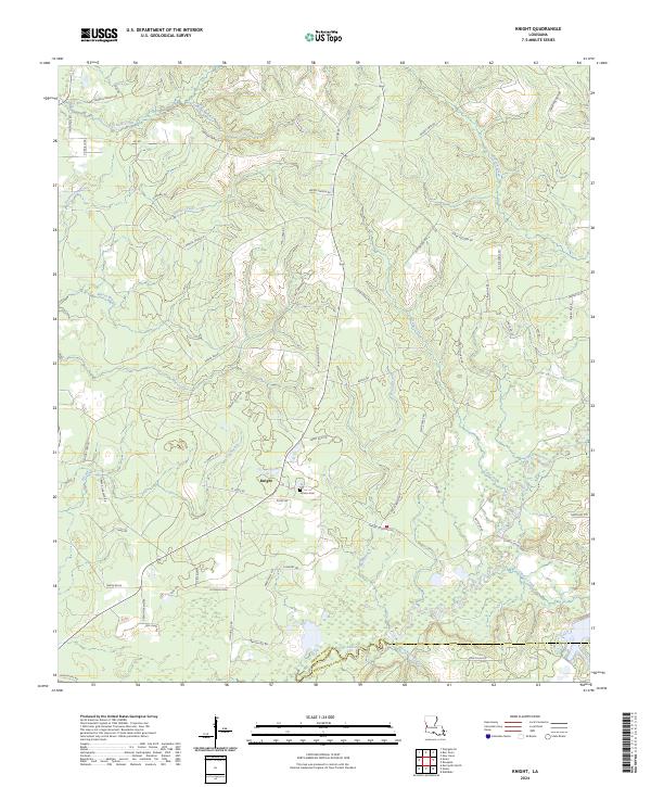
2024 Knight
Vernon Parish, LA
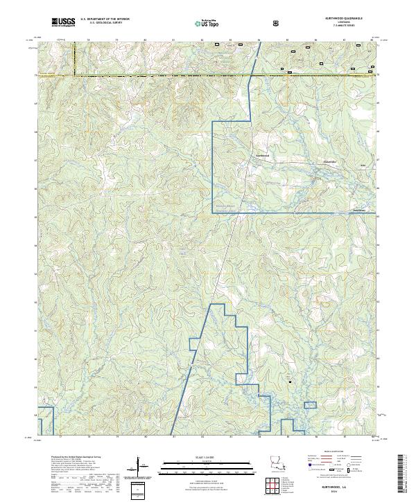
2024 Kurthwood
Vernon Parish, LA

2024 Lacamp
Vernon Parish, LA
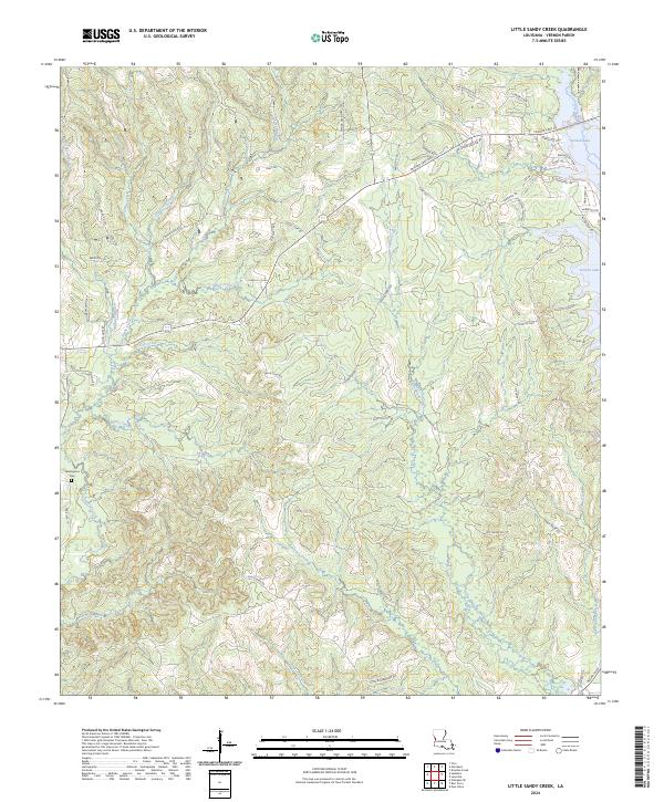
2024 Little Sandy Creek
Vernon Parish, LA
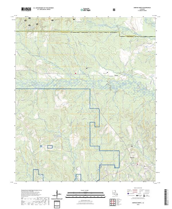
2024 Simpson North
Vernon Parish, LA
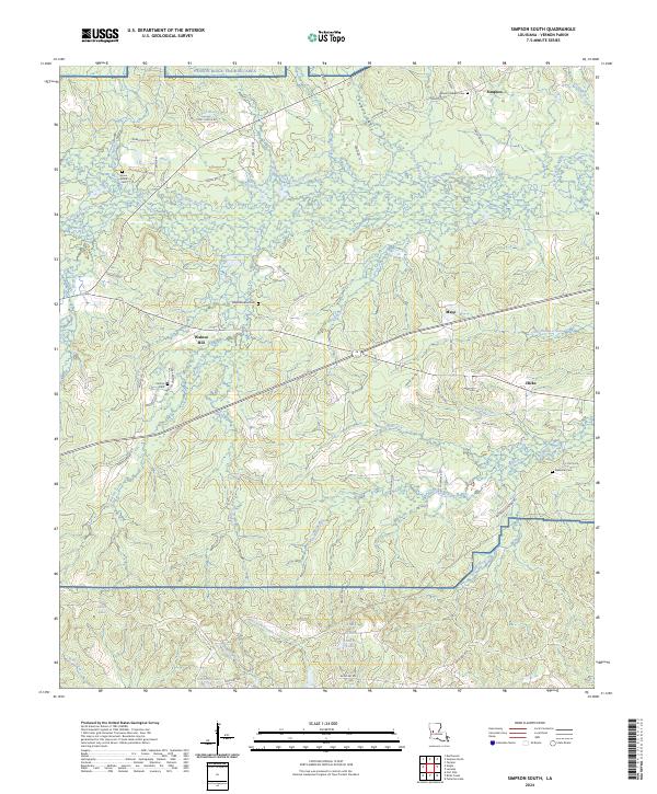
2024 Simpson South
Vernon Parish, LA
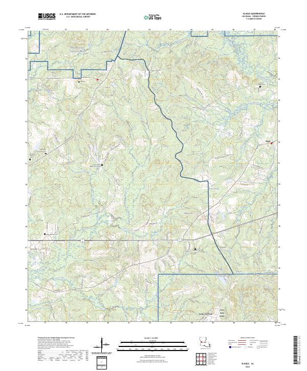
2024 Slagle
Vernon Parish, LA
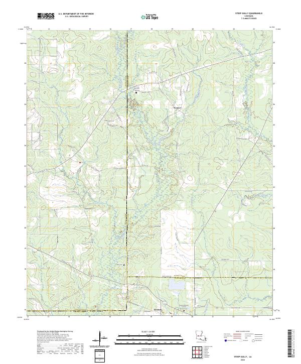
2024 Steep Gully
Vernon Parish, LA
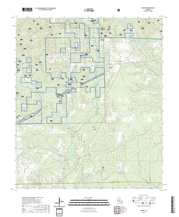
2024 Sugrue
Vernon Parish, LA
2024 Temple
Vernon Parish, LA