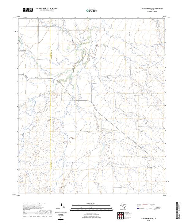
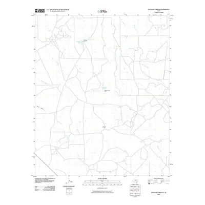
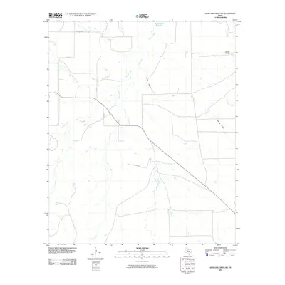
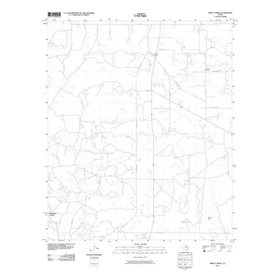
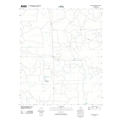
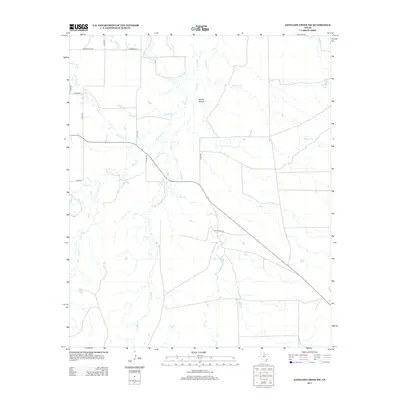
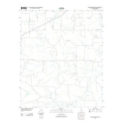
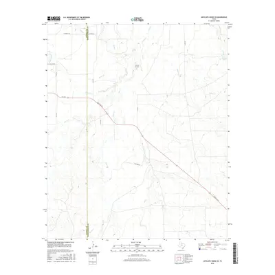
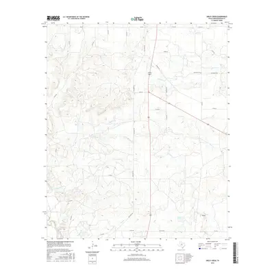
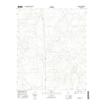
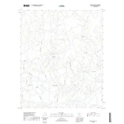
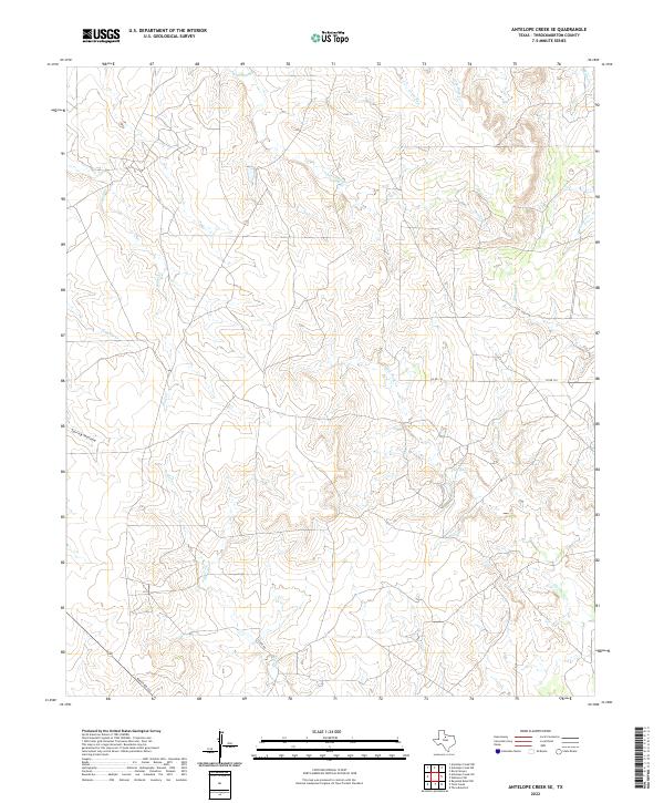
2023 Map of Antelope Creek SW
USGS Topo · Published 2023About this map
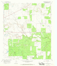
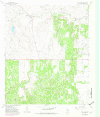
The border between Haskell Co and Throckmorton Co runs through this section of the Rolling Plains, marking a landscape defined by an intricate network of seasonal watercourses. The drainage of Millers Creek and Wild Horse Creek snakes across the western half of the map, while Sulphur Creek and Wolf Creek dominate the northeast. This 2023 edition highlights how ranching infrastructure remains central to the area's identity, evidenced by features like Big Wolf Tank.
Find a feature on this map
22 named features on this map. Tap any name to fly to it.
Don’t see what you’re looking for? This feature index may not catch every label — zoom into the map to look around manually.
Map Details
Editions of this 2023 Antelope Creek SW Map
This is the sole edition of this map. No revisions or reprints were ever made.
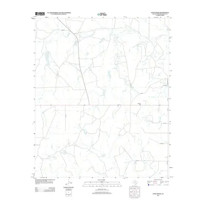
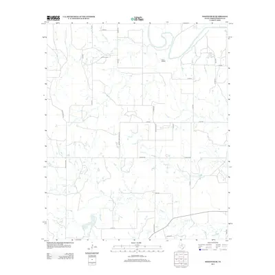
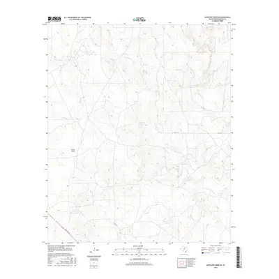
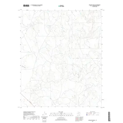
Historical Maps of Haskell County Through Time
60 maps found
1962 Antelope Creek SE
Throckmorton County, TX
1962 Antelope Creek SW
Throckmorton County, TX
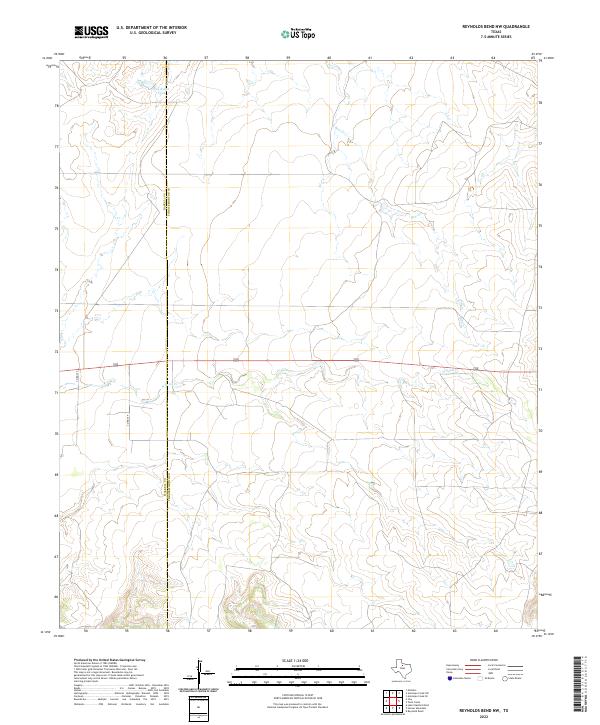
1965 Reynolds Bend NW
Throckmorton County, TX
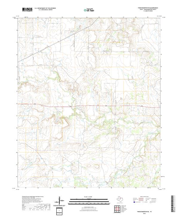
1965 Throckmorton NE
Throckmorton County, TX
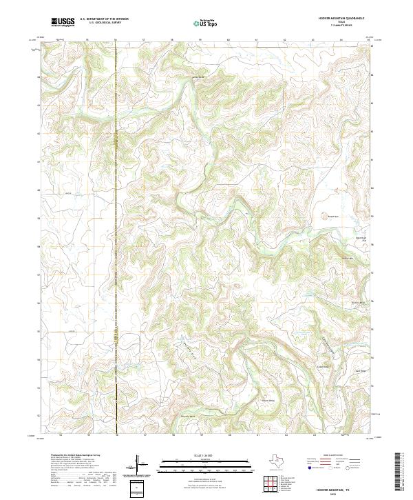
1966 Hoover Mountain
Throckmorton County, TX
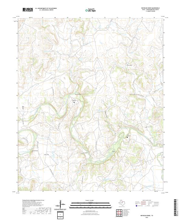
1966 Reynolds Bend
Throckmorton County, TX
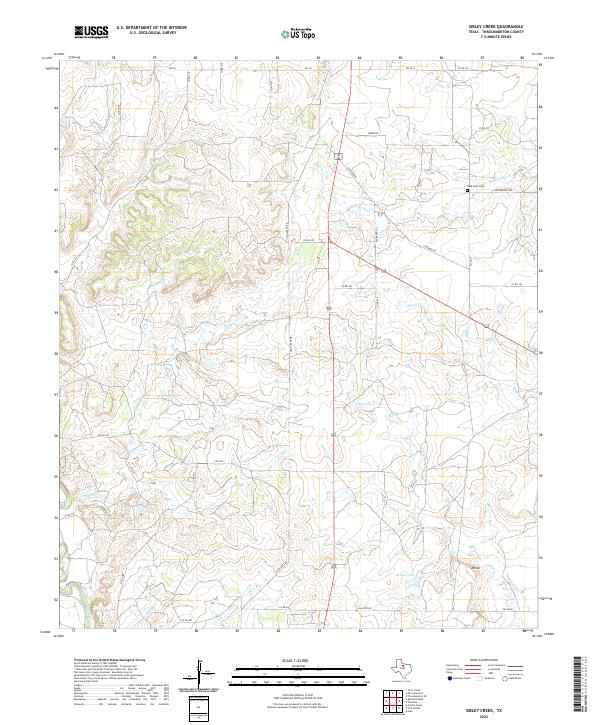
1966 Sibley Creek
Throckmorton County, TX
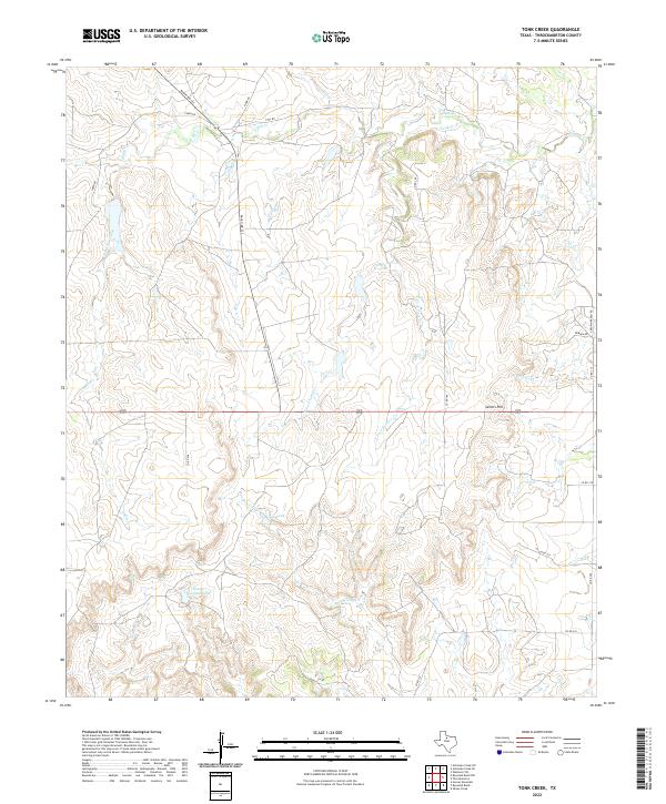
1966 Tonk Creek
Throckmorton County, TX
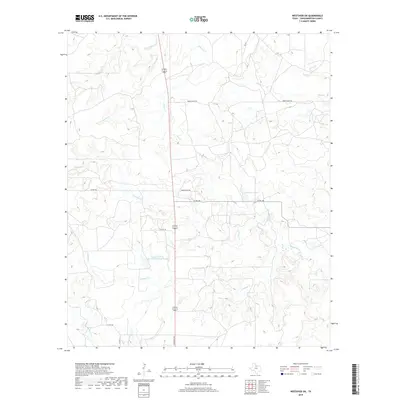
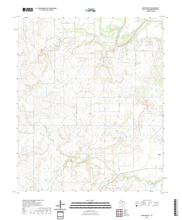
1966 Westover SE
Throckmorton County, TX
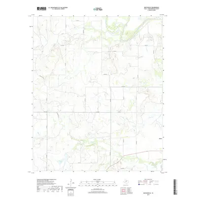
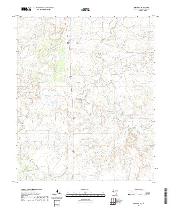
1966 Westover SW
Throckmorton County, TX
2010 Antelope Creek SE
Throckmorton County, TX
2010 Antelope Creek SW
Throckmorton County, TX
2010 Hoover Mountain
Throckmorton County, TX
2010 Reynolds Bend NW
Throckmorton County, TX
2010 Reynolds Bend
Throckmorton County, TX
2010 Sibley Creek
Throckmorton County, TX
2010 Throckmorton NE
Throckmorton County, TX
2010 Tonk Creek
Throckmorton County, TX
2010 Westover SE
Throckmorton County, TX
2010 Westover SW
Throckmorton County, TX
2012 Antelope Creek SE
Throckmorton County, TX
2012 Reynolds Bend NW
Throckmorton County, TX
2012 Westover SW
Throckmorton County, TX
2013 Antelope Creek SW
Throckmorton County, TX
2013 Hoover Mountain
Throckmorton County, TX
2013 Reynolds Bend
Throckmorton County, TX
2013 Sibley Creek
Throckmorton County, TX
2013 Throckmorton NE
Throckmorton County, TX
2013 Tonk Creek
Throckmorton County, TX
2013 Westover SE
Throckmorton County, TX
2016 Antelope Creek SE
Throckmorton County, TX
2016 Antelope Creek SW
Throckmorton County, TX
2016 Hoover Mountain
Throckmorton County, TX
2016 Reynolds Bend NW
Throckmorton County, TX
2016 Reynolds Bend
Throckmorton County, TX
2016 Sibley Creek
Throckmorton County, TX
2016 Throckmorton NE
Throckmorton County, TX
2016 Tonk Creek
Throckmorton County, TX
2016 Westover SE
Throckmorton County, TX
2016 Westover SW
Throckmorton County, TX
2019 Antelope Creek SE
Throckmorton County, TX

2019 Antelope Creek SW
Throckmorton County, TX
2019 Hoover Mountain
Throckmorton County, TX
2019 Reynolds Bend NW
Throckmorton County, TX
2019 Reynolds Bend
Throckmorton County, TX
2019 Sibley Creek
Throckmorton County, TX
2019 Throckmorton NE
Throckmorton County, TX
2019 Tonk Creek
Throckmorton County, TX
2019 Westover SE
Throckmorton County, TX
2019 Westover SW
Throckmorton County, TX
2022 Antelope Creek SE
Throckmorton County, TX
2022 Hoover Mountain
Throckmorton County, TX
2022 Reynolds Bend NW
Throckmorton County, TX
2022 Reynolds Bend
Throckmorton County, TX
2022 Sibley Creek
Throckmorton County, TX
2022 Throckmorton NE
Throckmorton County, TX
2022 Tonk Creek
Throckmorton County, TX
2022 Westover SE
Throckmorton County, TX
2022 Westover SW
Throckmorton County, TX
2023 Antelope Creek SW
Throckmorton County, TX