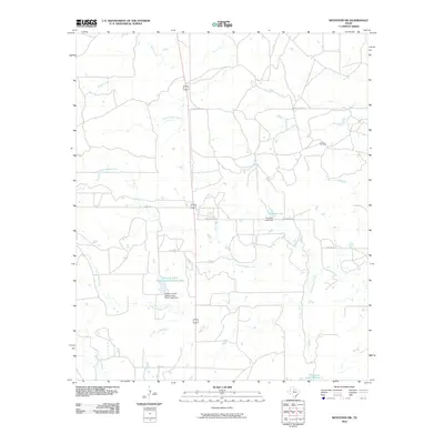
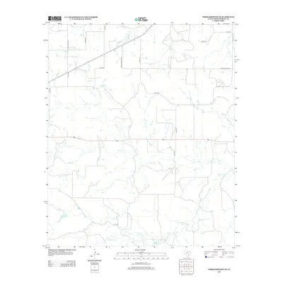
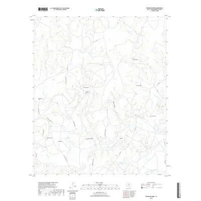
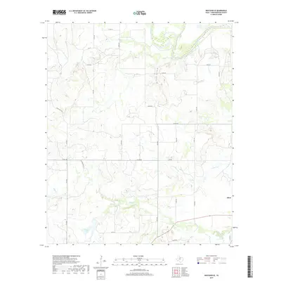
2022 Map of Westover SW
USGS Topo · Published 2022About this map
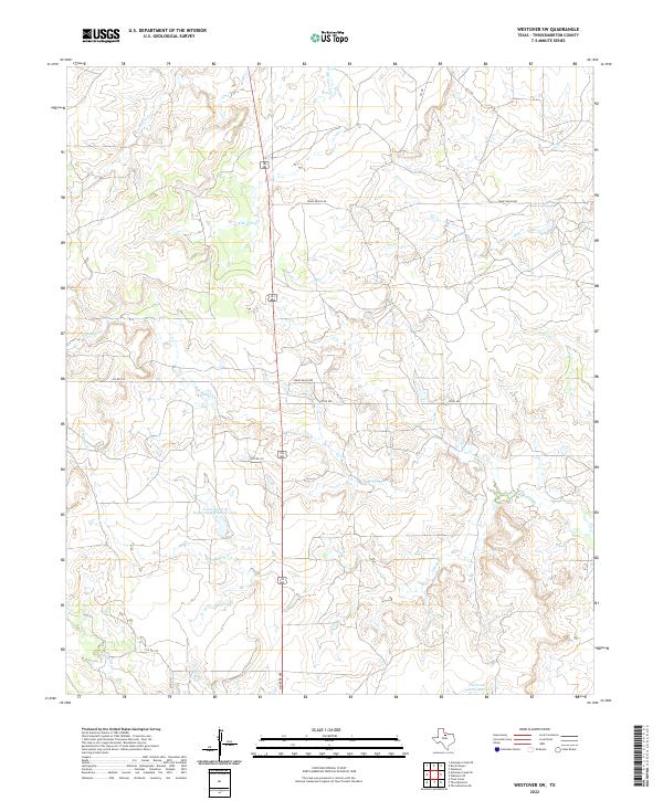
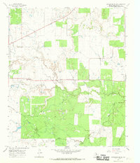
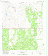
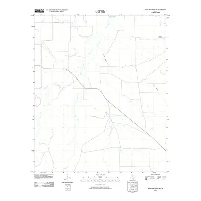
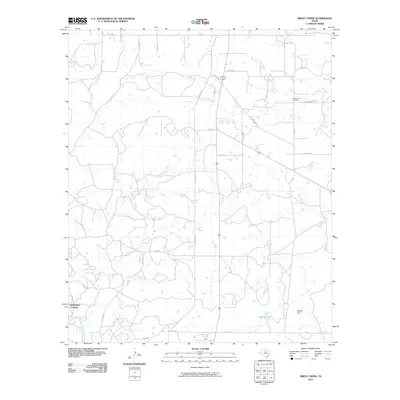
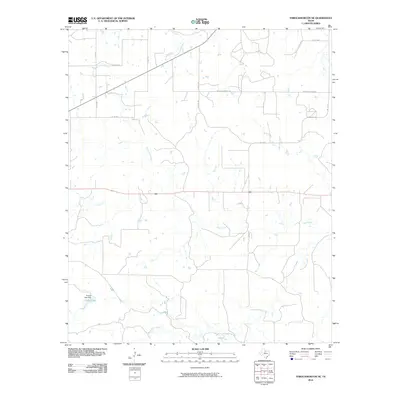
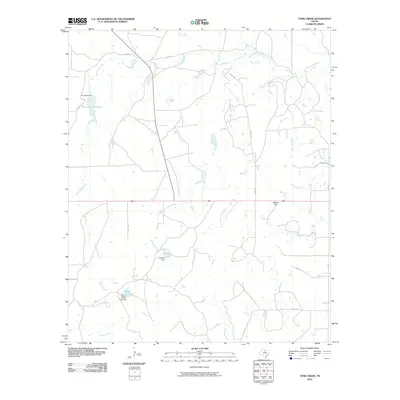
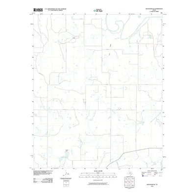
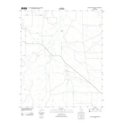
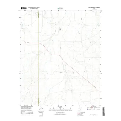
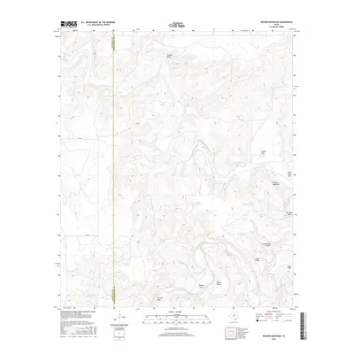
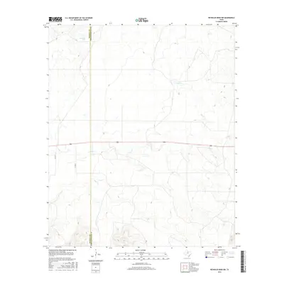
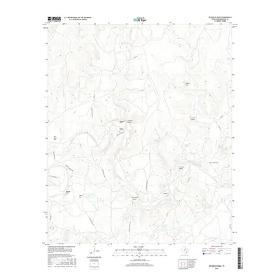
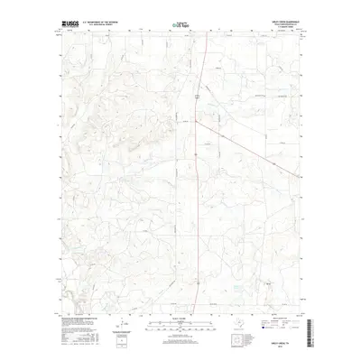
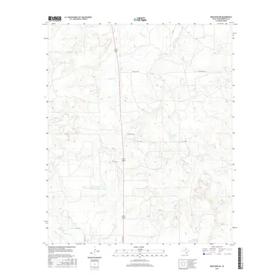
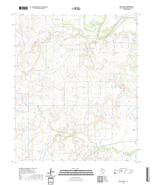
Texas A and M Experimental Ranch Lake serves as a central landmark in this portion of Throckmorton County, where the landscape is defined by the branching tributaries of the Brazos River watershed. The area’s ranching character is anchored by Spade Ranch Rd and several county routes that thread between rolling drainage systems. Water management is a primary feature of this terrain, evidenced by numerous small catchments and named reservoirs such as Patterson Lake Number 2 and Timmons Lake. These features, along with names like Oil Rd, point to the region's dual history of cattle ranching and resource extraction. The drainage network of N Boggy Cr, S Boggy Cr, and Wagon Cr creates a complex topography that has historically dictated the placement of homesteads and connecting roads in this West Texas ranching corridor.
Find a feature on this map
19 named features on this map. Tap any name to fly to it.
Don’t see what you’re looking for? This feature index may not catch every label — zoom into the map to look around manually.
Map Details
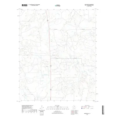
Editions of this 2022 Westover SW Map
This is the sole edition of this map. No revisions or reprints were ever made.
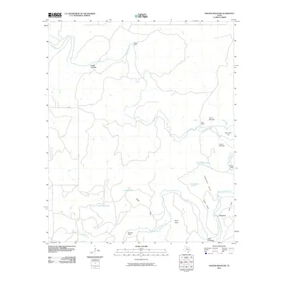
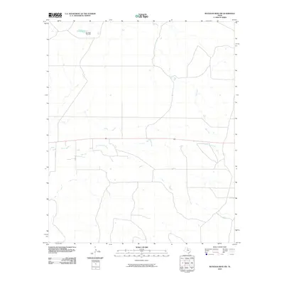
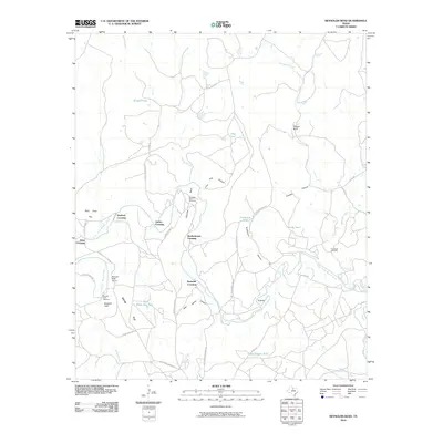
Historical Maps of Throckmorton County Through Time
60 maps found
1962 Antelope Creek SE
Throckmorton County, TX
1962 Antelope Creek SW
Throckmorton County, TX
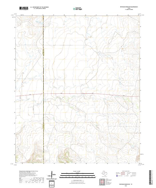
1965 Reynolds Bend NW
Throckmorton County, TX
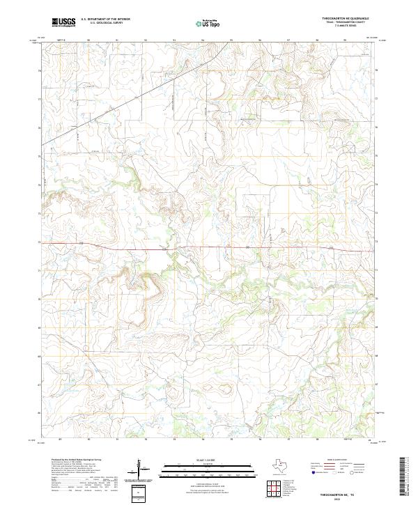
1965 Throckmorton NE
Throckmorton County, TX
1966 Hoover Mountain
Throckmorton County, TX
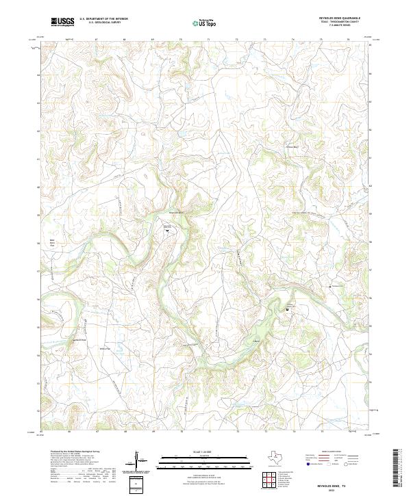
1966 Reynolds Bend
Throckmorton County, TX
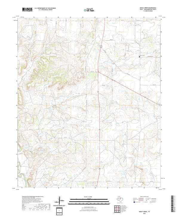
1966 Sibley Creek
Throckmorton County, TX
1966 Tonk Creek
Throckmorton County, TX
1966 Westover SE
Throckmorton County, TX
1966 Westover SW
Throckmorton County, TX
2010 Antelope Creek SE
Throckmorton County, TX
2010 Antelope Creek SW
Throckmorton County, TX
2010 Hoover Mountain
Throckmorton County, TX
2010 Reynolds Bend NW
Throckmorton County, TX
2010 Reynolds Bend
Throckmorton County, TX
2010 Sibley Creek
Throckmorton County, TX
2010 Throckmorton NE
Throckmorton County, TX
2010 Tonk Creek
Throckmorton County, TX
2010 Westover SE
Throckmorton County, TX
2010 Westover SW
Throckmorton County, TX
2012 Antelope Creek SE
Throckmorton County, TX
2012 Reynolds Bend NW
Throckmorton County, TX
2012 Westover SW
Throckmorton County, TX
2013 Antelope Creek SW
Throckmorton County, TX
2013 Hoover Mountain
Throckmorton County, TX
2013 Reynolds Bend
Throckmorton County, TX
2013 Sibley Creek
Throckmorton County, TX
2013 Throckmorton NE
Throckmorton County, TX
2013 Tonk Creek
Throckmorton County, TX
2013 Westover SE
Throckmorton County, TX
2016 Antelope Creek SE
Throckmorton County, TX
2016 Antelope Creek SW
Throckmorton County, TX
2016 Hoover Mountain
Throckmorton County, TX
2016 Reynolds Bend NW
Throckmorton County, TX
2016 Reynolds Bend
Throckmorton County, TX
2016 Sibley Creek
Throckmorton County, TX
2016 Throckmorton NE
Throckmorton County, TX
2016 Tonk Creek
Throckmorton County, TX
2016 Westover SE
Throckmorton County, TX
2016 Westover SW
Throckmorton County, TX
2019 Antelope Creek SE
Throckmorton County, TX

2019 Antelope Creek SW
Throckmorton County, TX
2019 Hoover Mountain
Throckmorton County, TX
2019 Reynolds Bend NW
Throckmorton County, TX
2019 Reynolds Bend
Throckmorton County, TX
2019 Sibley Creek
Throckmorton County, TX
2019 Throckmorton NE
Throckmorton County, TX
2019 Tonk Creek
Throckmorton County, TX
2019 Westover SE
Throckmorton County, TX
2019 Westover SW
Throckmorton County, TX
2022 Antelope Creek SE
Throckmorton County, TX
2022 Hoover Mountain
Throckmorton County, TX
2022 Reynolds Bend NW
Throckmorton County, TX
2022 Reynolds Bend
Throckmorton County, TX
2022 Sibley Creek
Throckmorton County, TX
2022 Throckmorton NE
Throckmorton County, TX
2022 Tonk Creek
Throckmorton County, TX
2022 Westover SE
Throckmorton County, TX
2022 Westover SW
Throckmorton County, TX
2023 Antelope Creek SW
Throckmorton County, TX