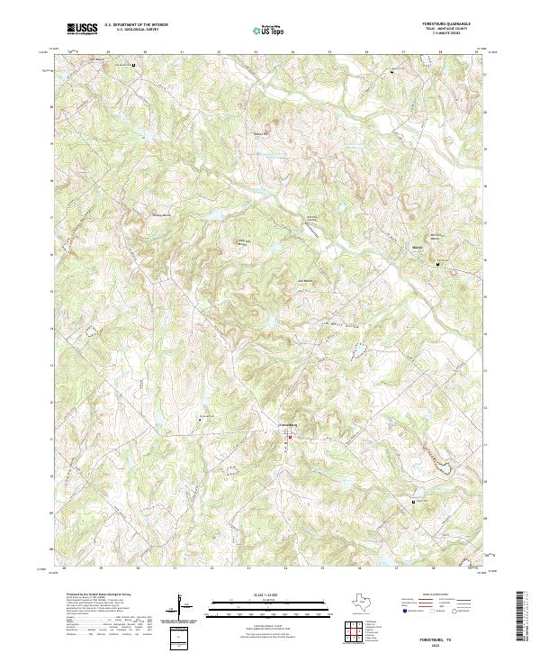
2022 Map of Forestburg
USGS Topo · Published 2022About this map
Forestburg and the surrounding rangelands of Montague County are defined by a complex network of creeks and prominent ridges. This landscape is marked by numerous high points including Newby Mound, Sugarloaf Mound, and McCracken Mound, which overlook the drainages of Willawalla Cr and Dye Cr. The settlement pattern follows the local topography, with several family and community burial grounds such as Perryman Cem and Antioch Cem situated near historic crossroads. North of the main settlement, the area around Dye Mound and Hardy shows a traditional rural Texas structure of dispersed homesteads linked by an intricate farm-to-market road system, including FM 455 and FM 677. Water features like Gaylord Lake Number 1 and the various branches of N Bingham Cr provide essential drainage for the cattle and agricultural operations that dominate this portion of North Texas.
Find a feature on this map
61 named features on this map. Tap any name to fly to it.
Don’t see what you’re looking for? This feature index may not catch every label — zoom into the map to look around manually.
Map Details
Editions of this 2022 Forestburg Map
This is the sole edition of this map. No revisions or reprints were ever made.
Other maps of this area

1902 · Gainesville
USGS Topo · 1:125,000

1905 · Montague
USGS Topo · 1:125,000

1943 · Gainesville
USGS Topo · 1:125,000

1954 · Sherman
USGS Topo · 1:250,000

1958 · Sherman
USGS Topo · 1:250,000

1961 · Muenster West
USGS Topo · 1:24,000

1961 · Saint Jo
USGS Topo · 1:24,000

1961 · Salona
USGS Topo · 1:24,000

1961 · Freemound
USGS Topo · 1:24,000

1961 · New Harp
USGS Topo · 1:24,000