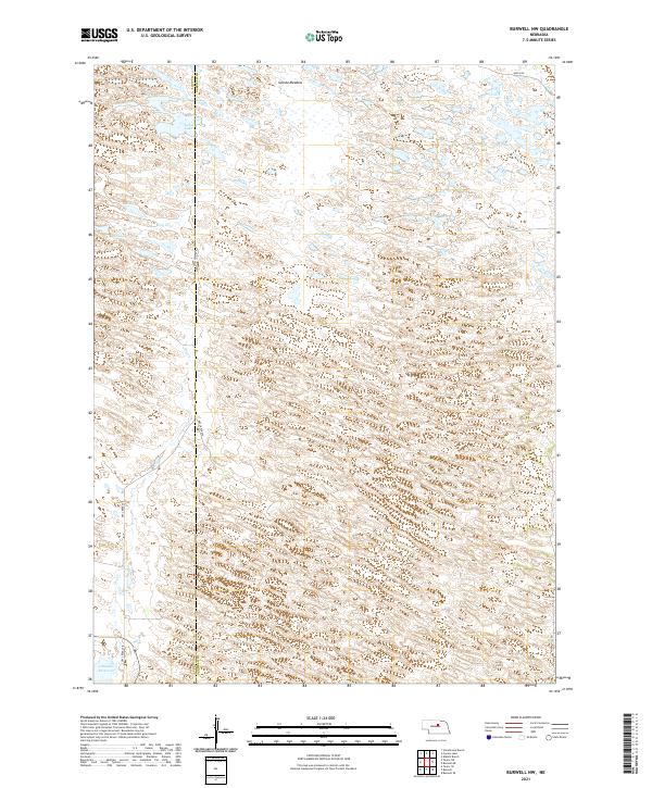
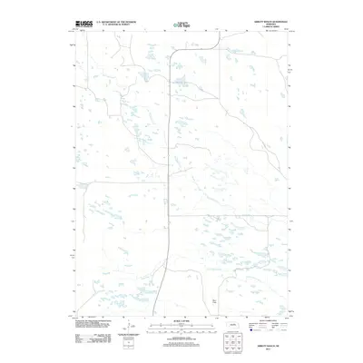
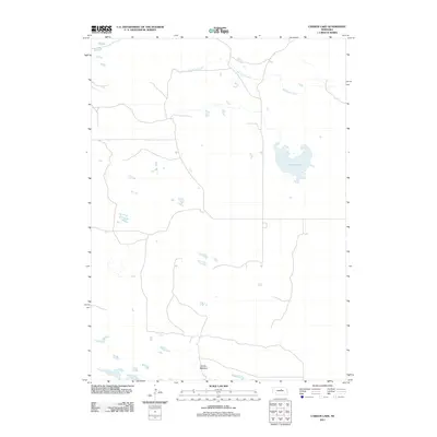
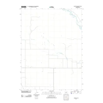
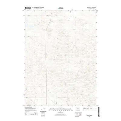
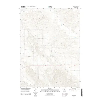
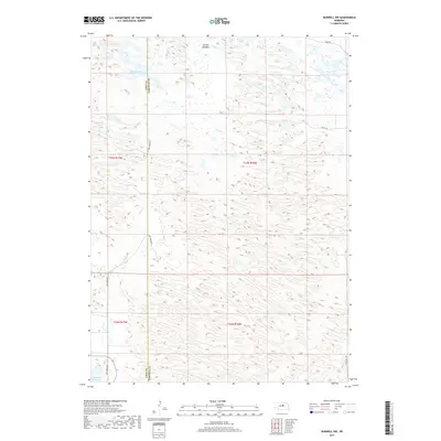
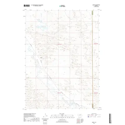
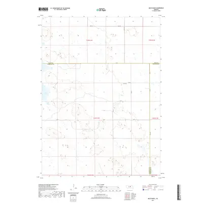
2021 Map of Burwell NW
USGS Topo · Published 2021About this map
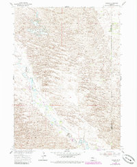
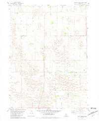
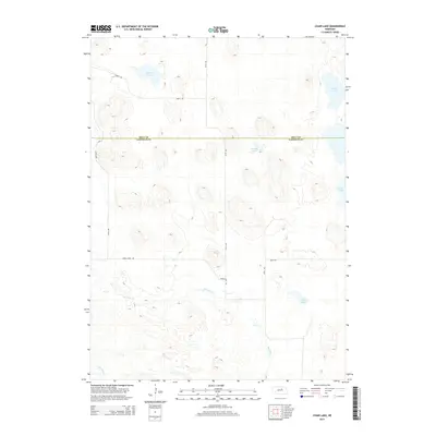
Garska Meadow and a complex network of intermittent wetlands define this section of the Nebraska Sandhills along the border of Loup and Garfield counties. The landscape is dominated by the depressional basins of the High Plains, where water bodies like Nichol Lake and Bald Lake collect in the undulating terrain. To the southwest, the impounded waters of the Calamus Reservoir reach into the quadrangle, altering the local hydrology and drainage patterns of Dry Cr. This modern survey illustrates the sparse, grid-based road system typical of the region, where routes such as Dry Creek Ave and 840th Rd provide the primary access through the large-scale ranching and grazing lands of the interior.
Find a feature on this map
14 named features on this map. Tap any name to fly to it.
Don’t see what you’re looking for? This feature index may not catch every label — zoom into the map to look around manually.
Map Details
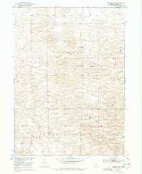
Editions of this 2021 Burwell NW Map
This is the sole edition of this map. No revisions or reprints were ever made.
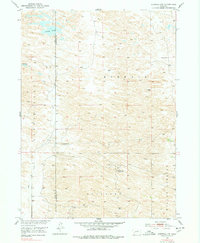
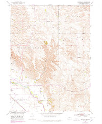
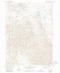
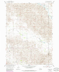
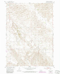
Historical Maps of Garfield County Through Time
55 maps found
1952 Burwell NE
Garfield County, NE
1952 Burwell NW
Garfield County, NE
1952 Burwell SE
Garfield County, NE
1954 Gables
Garfield County, NE
1954 Gables NW
Garfield County, NE
1954 Gables SE
Garfield County, NE
1954 Gables SW
Garfield County, NE
1981 Abbott Ranch
Garfield County, NE
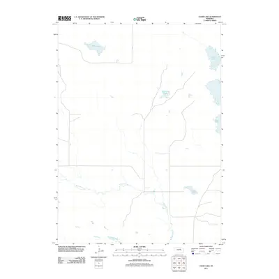
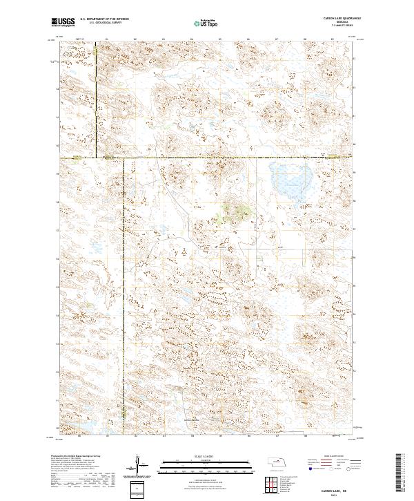
1981 Carson Lake
Garfield County, NE
1981 Chain Lake
Garfield County, NE
1981 Miles Ranch
Garfield County, NE
2011 Abbott Ranch
Garfield County, NE
2011 Burwell NE
Garfield County, NE
2011 Burwell NW
Garfield County, NE
2011 Burwell SE
Garfield County, NE
2011 Carson Lake
Garfield County, NE
2011 Chain Lake
Garfield County, NE
2011 Gables
Garfield County, NE
2011 Gables NW
Garfield County, NE
2011 Gables SE
Garfield County, NE
2011 Gables SW
Garfield County, NE
2011 Miles Ranch
Garfield County, NE
2014 Abbott Ranch
Garfield County, NE
2014 Burwell NE
Garfield County, NE
2014 Burwell NW
Garfield County, NE
2014 Burwell SE
Garfield County, NE
2014 Carson Lake
Garfield County, NE
2014 Chain Lake
Garfield County, NE
2014 Gables
Garfield County, NE
2014 Gables NW
Garfield County, NE
2014 Gables SE
Garfield County, NE
2014 Gables SW
Garfield County, NE
2014 Miles Ranch
Garfield County, NE
2017 Abbott Ranch
Garfield County, NE
2017 Burwell NE
Garfield County, NE
2017 Burwell NW
Garfield County, NE
2017 Burwell SE
Garfield County, NE
2017 Carson Lake
Garfield County, NE
2017 Chain Lake
Garfield County, NE
2017 Gables
Garfield County, NE
2017 Gables NW
Garfield County, NE
2017 Gables SE
Garfield County, NE
2017 Gables SW
Garfield County, NE
2017 Miles Ranch
Garfield County, NE
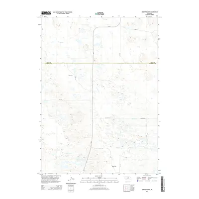
2021 Abbott Ranch
Garfield County, NE
2021 Burwell NE
Garfield County, NE
2021 Burwell NW
Garfield County, NE
2021 Burwell SE
Garfield County, NE
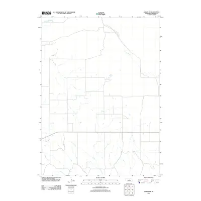
2021 Carson Lake
Garfield County, NE
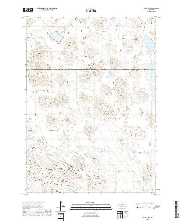
2021 Chain Lake
Garfield County, NE
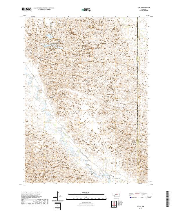
2021 Gables
Garfield County, NE
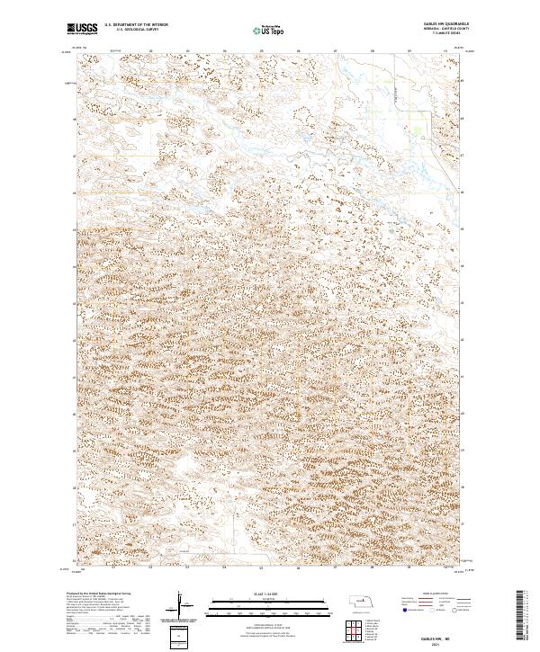
2021 Gables NW
Garfield County, NE
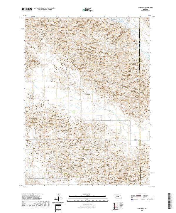
2021 Gables SE
Garfield County, NE
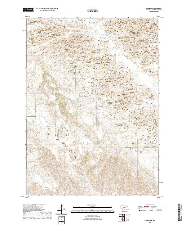
2021 Gables SW
Garfield County, NE
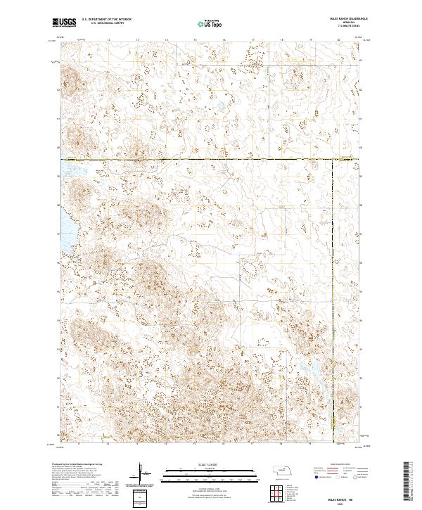
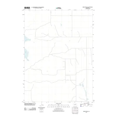
2021 Miles Ranch
Garfield County, NE