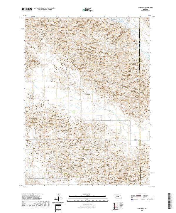
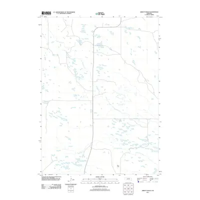
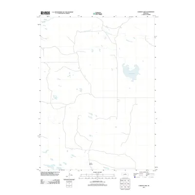
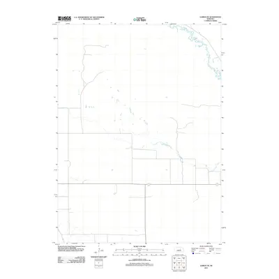
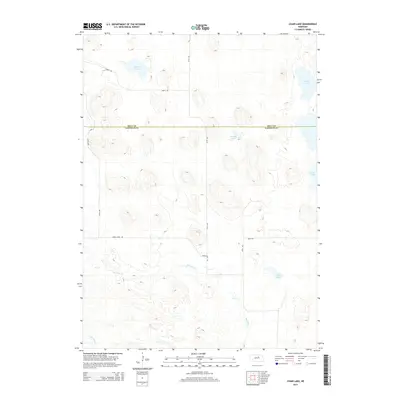
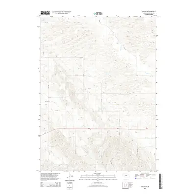
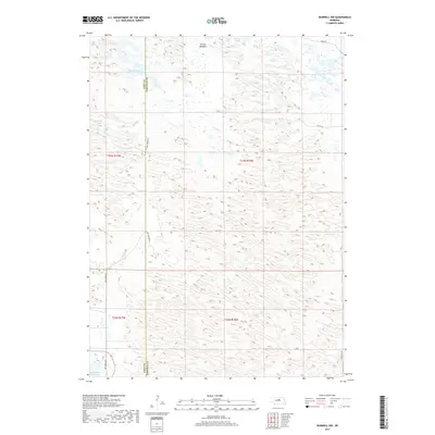
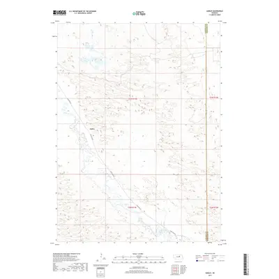
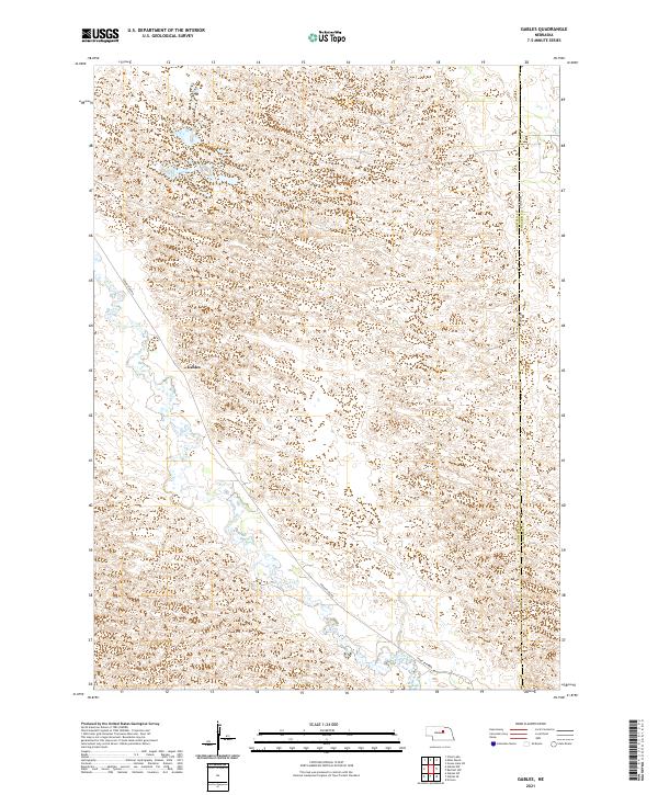
2021 Map of Gables SE
USGS Topo · Published 2021About this map
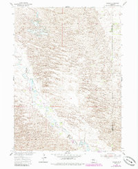
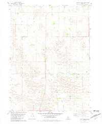
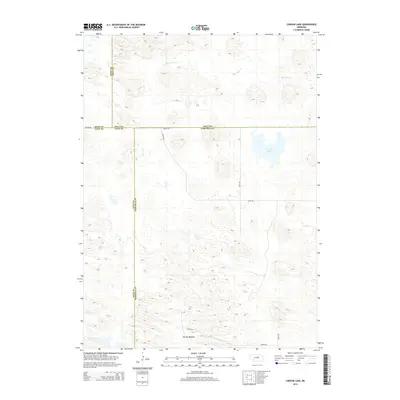
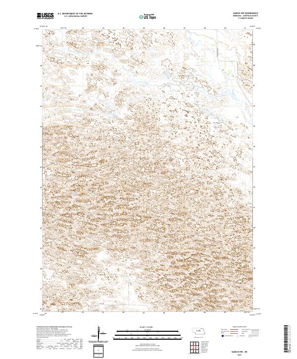
The rolling sandhill terrain of Garfield and Wheeler counties is defined by the ephemeral flow of Dry Cedar Cr and the more permanent course of Cedar Creek in the northeastern corner. This 2021 study illustrates a landscape primarily shaped by section-line roads and sparse drainage patterns typical of the Nebraska interior. The eastern boundary of the quadrangle follows the Garfield Co Wheeler Co line, providing a clear jurisdictional marker across the undulating topography. Local transit is facilitated by a network of rural routes including Cedar River Rd, Silver Rd, and the uniquely named Joint Loop. This map documents the essential hydrology and road infrastructure that supports the region's agricultural character, tracing the paths of early range development through contemporary land use divisions.
Find a feature on this map
14 named features on this map. Tap any name to fly to it.
Don’t see what you’re looking for? This feature index may not catch every label — zoom into the map to look around manually.
Map Details
Editions of this 2021 Gables SE Map
This is the sole edition of this map. No revisions or reprints were ever made.
Historical Maps of Garfield County Through Time
55 maps found
1952 Burwell NE
Garfield County, NE
1952 Burwell NW
Garfield County, NE
1952 Burwell SE
Garfield County, NE
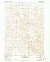
1954 Gables
Garfield County, NE
1954 Gables NW
Garfield County, NE
1954 Gables SE
Garfield County, NE
1954 Gables SW
Garfield County, NE
1981 Abbott Ranch
Garfield County, NE
1981 Carson Lake
Garfield County, NE
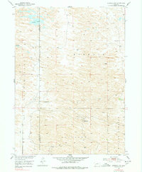
1981 Chain Lake
Garfield County, NE
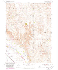
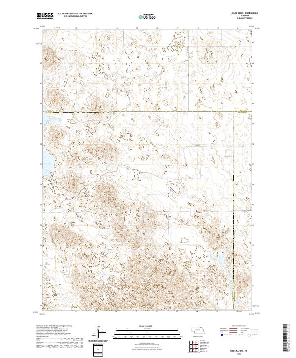
1981 Miles Ranch
Garfield County, NE
2011 Abbott Ranch
Garfield County, NE
2011 Burwell NE
Garfield County, NE
2011 Burwell NW
Garfield County, NE
2011 Burwell SE
Garfield County, NE
2011 Carson Lake
Garfield County, NE
2011 Chain Lake
Garfield County, NE
2011 Gables
Garfield County, NE
2011 Gables NW
Garfield County, NE
2011 Gables SE
Garfield County, NE
2011 Gables SW
Garfield County, NE
2011 Miles Ranch
Garfield County, NE
2014 Abbott Ranch
Garfield County, NE
2014 Burwell NE
Garfield County, NE
2014 Burwell NW
Garfield County, NE
2014 Burwell SE
Garfield County, NE
2014 Carson Lake
Garfield County, NE
2014 Chain Lake
Garfield County, NE
2014 Gables
Garfield County, NE
2014 Gables NW
Garfield County, NE
2014 Gables SE
Garfield County, NE
2014 Gables SW
Garfield County, NE
2014 Miles Ranch
Garfield County, NE
2017 Abbott Ranch
Garfield County, NE
2017 Burwell NE
Garfield County, NE
2017 Burwell NW
Garfield County, NE
2017 Burwell SE
Garfield County, NE
2017 Carson Lake
Garfield County, NE
2017 Chain Lake
Garfield County, NE
2017 Gables
Garfield County, NE
2017 Gables NW
Garfield County, NE
2017 Gables SE
Garfield County, NE
2017 Gables SW
Garfield County, NE
2017 Miles Ranch
Garfield County, NE
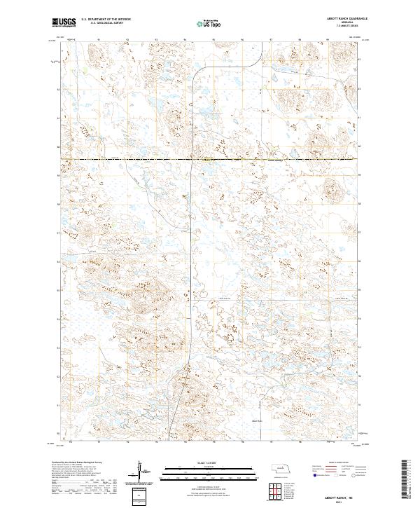
2021 Abbott Ranch
Garfield County, NE
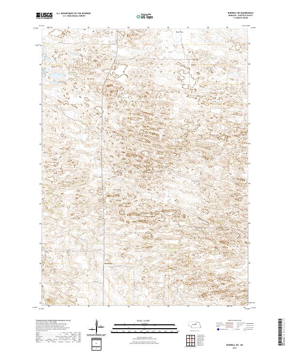
2021 Burwell NE
Garfield County, NE
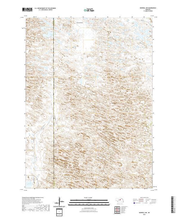
2021 Burwell NW
Garfield County, NE
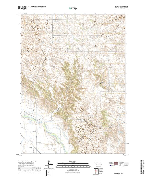
2021 Burwell SE
Garfield County, NE
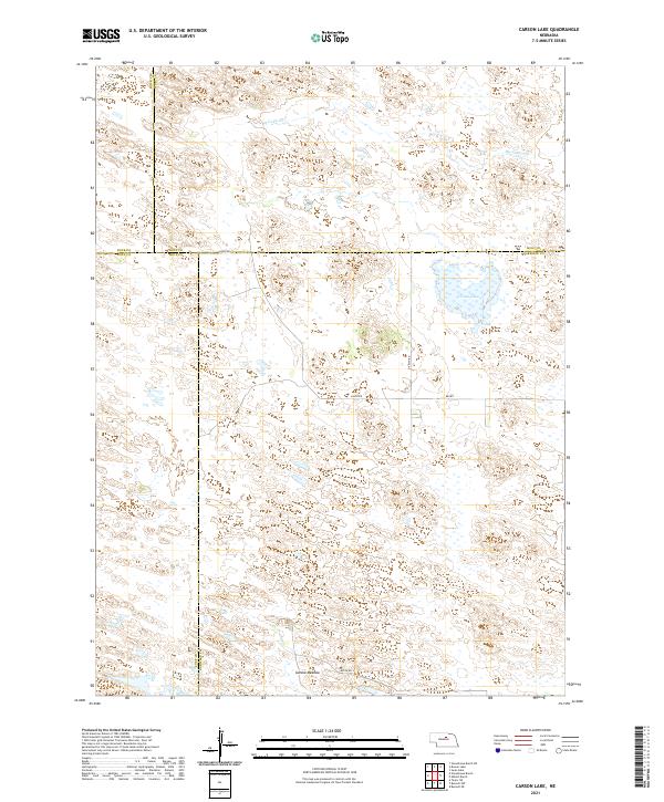
2021 Carson Lake
Garfield County, NE
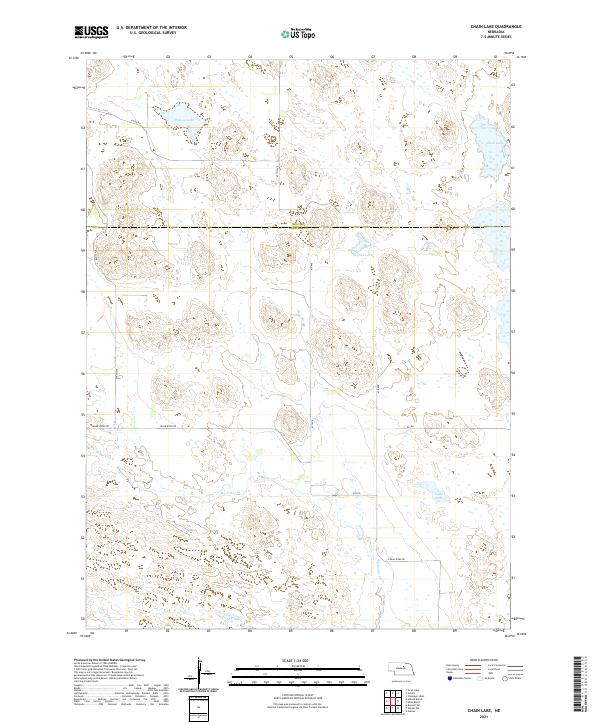
2021 Chain Lake
Garfield County, NE
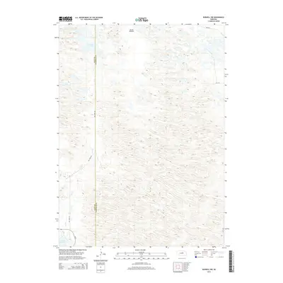
2021 Gables
Garfield County, NE
2021 Gables NW
Garfield County, NE
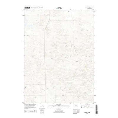
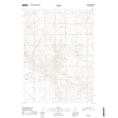
2021 Gables SE
Garfield County, NE
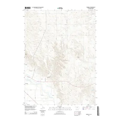
2021 Gables SW
Garfield County, NE
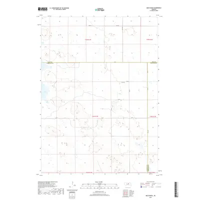
2021 Miles Ranch
Garfield County, NE