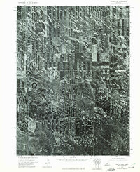
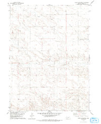
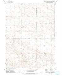
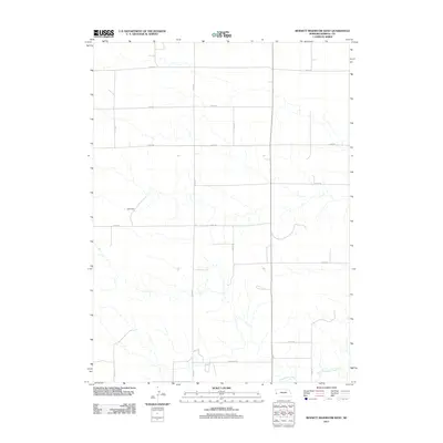
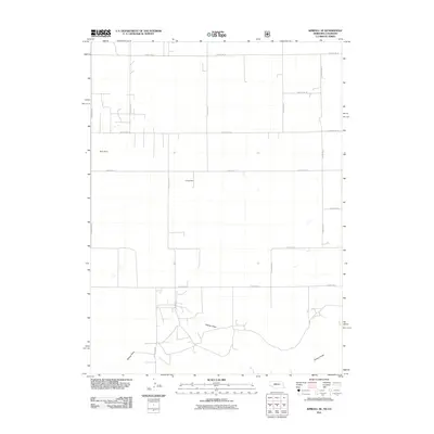
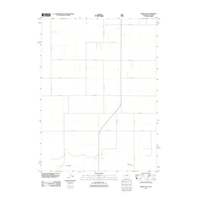
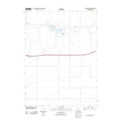
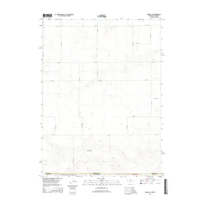
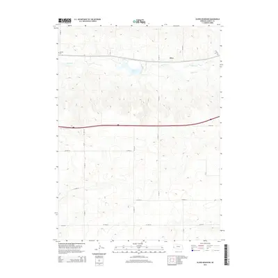
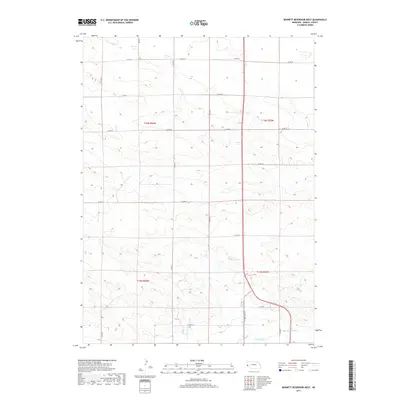
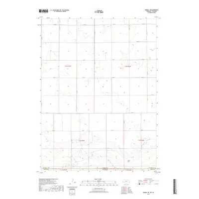
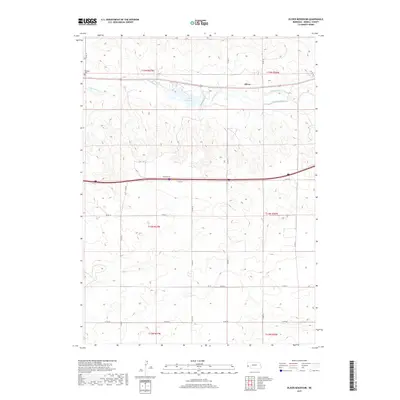
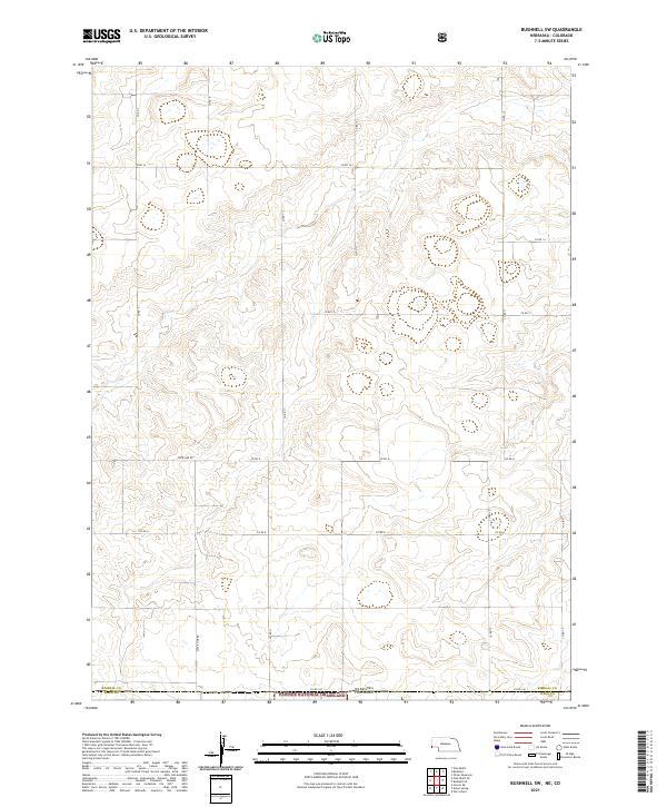
2021 Map of Bushnell SE
USGS Topo · Published 2021About this map
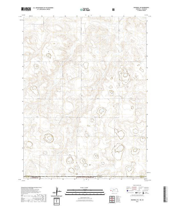
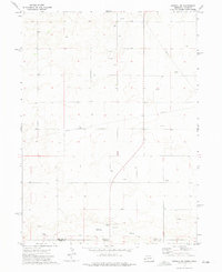
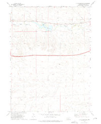
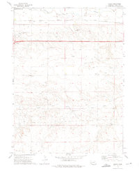
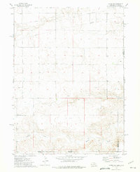
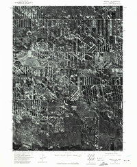
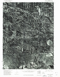
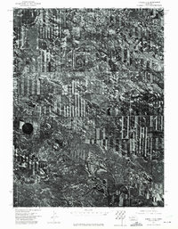
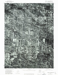
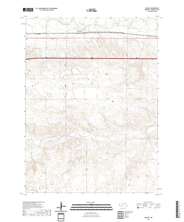
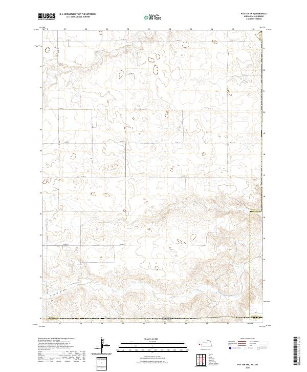
The high plains along the Nebraska and Colorado state line are defined by a rhythmic grid of rural corridors and expansive public lands. This 2021 survey illustrates the northern reaches of the Pawnee National Grassland, also identified as Pawnee NG, where the terrain meets the southern edge of Kimball County. The landscape is etched with a precise network of county roads including Co Rd 14, Co Rd 10, and Co RD 6, which facilitate travel across this agricultural and grazing region. The intersection of Kimball and Weld counties at the state boundary highlights the administrative complexity of managing these vast grasslands. This map is a record of modern land use, showing how legacy section lines continue to dictate the placement of local connectors like Co Rd 29 and Co RD 21 in a region where the geography is as much about legal boundaries as it is about the physical earth.
Find a feature on this map
18 named features on this map. Tap any name to fly to it.
Don’t see what you’re looking for? This feature index may not catch every label — zoom into the map to look around manually.
Map Details
Editions of this 2021 Bushnell SE Map
This is the sole edition of this map. No revisions or reprints were ever made.
Historical Maps of Weld County Through Time
66 maps found
1972 Bushnell SE
Kimball County, NE
1972 Bushnell SW
Kimball County, NE
1972 Kimball SE
Kimball County, NE
1972 Kimball SW
Kimball County, NE
1972 Oliver Reservoir
Kimball County, NE
1972 Owasco
Kimball County, NE
1972 Potter SW
Kimball County, NE
1973 Kimball 1 SE
Kimball County, NE
1973 Kimball 1 SW
Kimball County, NE
1973 Kimball 2 SE
Kimball County, NE
1973 Kimball 2 SW
Kimball County, NE
1973 Potter 2 SW
Kimball County, NE
1979 Bennett Reservoir East
Kimball County, NE
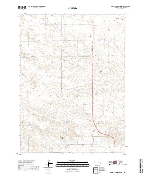
1979 Bennett Reservoir West
Kimball County, NE
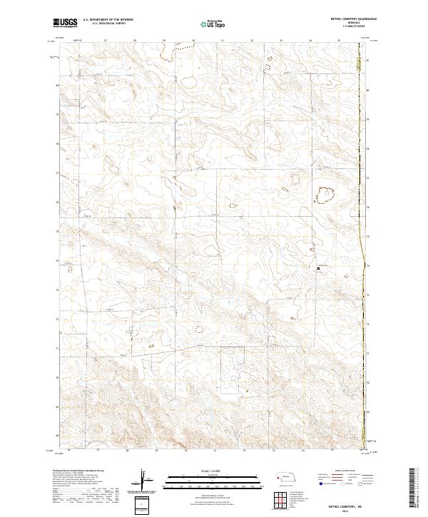
1979 Bethel Cemetery
Kimball County, NE
1979 North Of Bushnell
Kimball County, NE
1979 North Of Oliver Reservoir
Kimball County, NE
2010 Potter SW
Kimball County, NE
2011 Bennett Reservoir East
Kimball County, NE
2011 Bennett Reservoir West
Kimball County, NE
2011 Bethel Cemetery
Kimball County, NE
2011 Bushnell SE
Kimball County, NE
2011 Bushnell SW
Kimball County, NE
2011 Kimball SE
Kimball County, NE
2011 Kimball SW
Kimball County, NE
2011 North of Bushnell
Kimball County, NE
2011 North of Oliver Reservoir
Kimball County, NE
2011 Oliver Reservoir
Kimball County, NE
2011 Owasco
Kimball County, NE
2011 Potter SW
Kimball County, NE
2014 Bennett Reservoir East
Kimball County, NE
2014 Bennett Reservoir West
Kimball County, NE
2014 Bethel Cemetery
Kimball County, NE
2014 Bushnell SE
Kimball County, NE
2014 Bushnell SW
Kimball County, NE
2014 Kimball SE
Kimball County, NE
2014 Kimball SW
Kimball County, NE
2014 North of Bushnell
Kimball County, NE
2014 North of Oliver Reservoir
Kimball County, NE
2014 Oliver Reservoir
Kimball County, NE
2014 Owasco
Kimball County, NE
2014 Potter SW
Kimball County, NE
2017 Bennett Reservoir East
Kimball County, NE
2017 Bennett Reservoir West
Kimball County, NE
2017 Bethel Cemetery
Kimball County, NE
2017 Bushnell SE
Kimball County, NE
2017 Bushnell SW
Kimball County, NE
2017 Kimball SE
Kimball County, NE
2017 Kimball SW
Kimball County, NE
2017 North of Bushnell
Kimball County, NE
2017 North of Oliver Reservoir
Kimball County, NE
2017 Oliver Reservoir
Kimball County, NE
2017 Owasco
Kimball County, NE
2017 Potter SW
Kimball County, NE
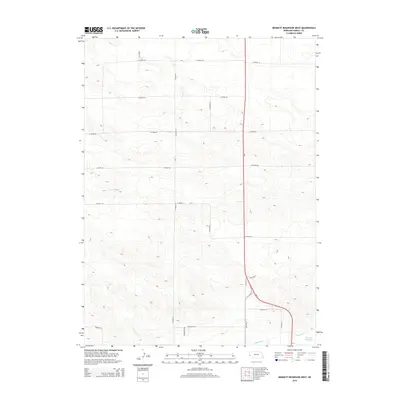
2021 Bennett Reservoir East
Kimball County, NE
2021 Bennett Reservoir West
Kimball County, NE
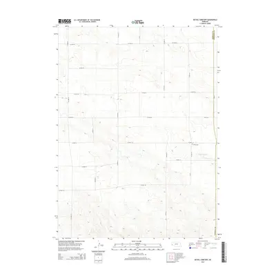
2021 Bethel Cemetery
Kimball County, NE
2021 Bushnell SE
Kimball County, NE
2021 Bushnell SW
Kimball County, NE
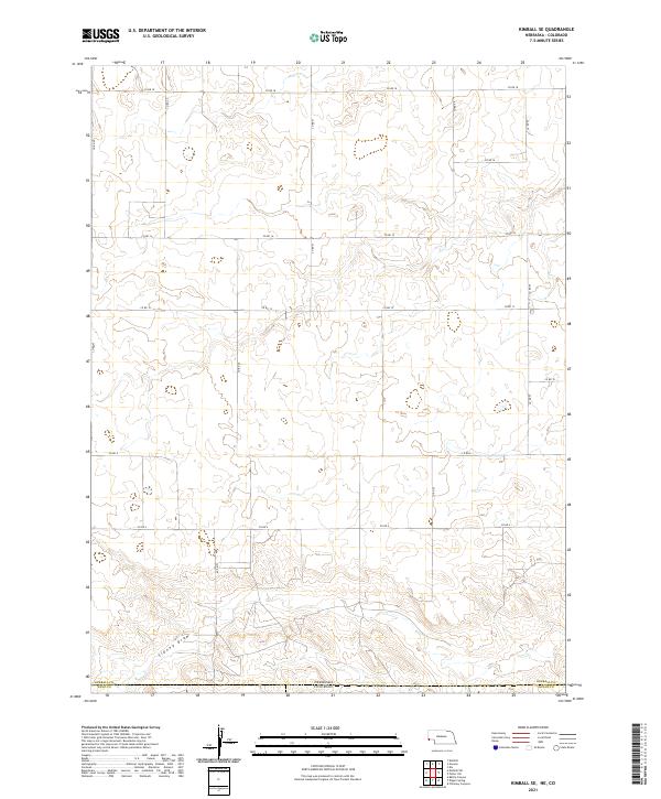
2021 Kimball SE
Kimball County, NE
2021 Kimball SW
Kimball County, NE
2021 North of Bushnell
Kimball County, NE
2021 North of Oliver Reservoir
Kimball County, NE
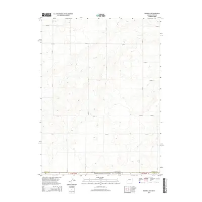
2021 Oliver Reservoir
Kimball County, NE
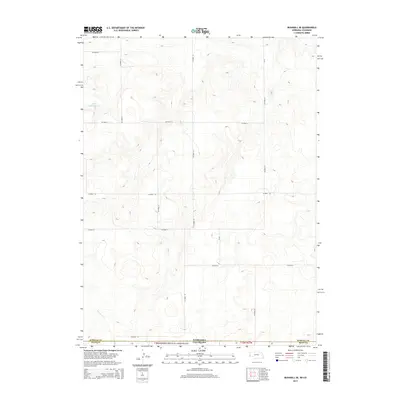
2021 Owasco
Kimball County, NE
2021 Potter SW
Kimball County, NE